
You'll find a wealth of cutting-edge techniques for remote bird nest counting. Thermal imaging drones detect heat signatures, while AI algorithms analyze aerial photos. LiDAR scanning creates 3D canopy maps, and multispectral imaging reveals hidden nests. High-resolution aerial photography enables automated detection, and 3D modeling provides habitat insights. Drone swarms offer efficient coverage, and GPS tracking monitors nest locations. Time-lapse aerial photography captures nesting patterns over extended periods. Acoustic monitoring with drones identifies nests through bird calls. These innovative methods are transforming ornithology, offering unprecedented data on avian populations and habitats. Dive deeper to uncover the full potential of these game-changing technologies.
Thermal Imaging Drone Surveys
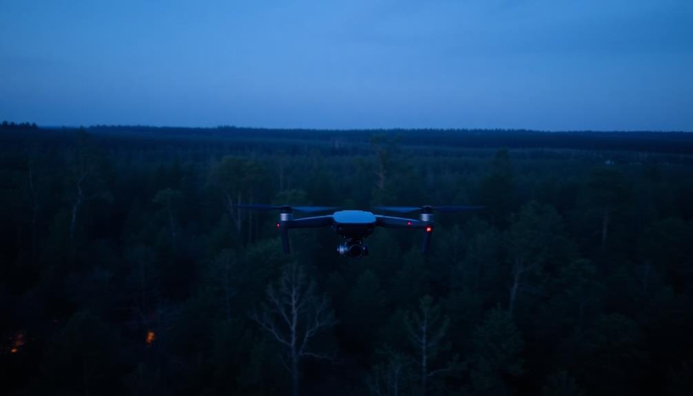
Researchers are revolutionizing bird nest counting with thermal imaging drone surveys. You'll find this method particularly useful for locating nests in hard-to-reach areas or dense vegetation. Thermal imaging cameras mounted on drones detect heat signatures of nesting birds, allowing you to spot nests that would be invisible to the naked eye.
You'll need to conduct these surveys during ideal conditions, typically early morning or late evening when the temperature contrast between nests and surroundings is greatest. The drones fly in pre-programmed patterns, capturing thermal images that you'll later analyze using specialized software.
This technique isn't without challenges. You'll need to account for factors like ambient temperature, vegetation density, and bird species' nesting habits. It's essential to calibrate the thermal sensors properly and use appropriate image processing algorithms to distinguish nests from other heat sources.
Despite these hurdles, thermal imaging drone surveys offer significant advantages. They're less invasive than traditional ground surveys, cover large areas quickly, and can provide more accurate nest counts in certain habitats.
You'll find this method especially valuable for monitoring endangered species or tracking population trends over time.
AI-Powered Nest Detection Algorithms

The latest frontier in bird nest counting is AI-powered nest detection algorithms. These sophisticated systems can analyze vast amounts of data from various sources, including aerial imagery and thermal scans, to identify and count bird nests with remarkable accuracy.
You'll find that AI algorithms are trained on extensive datasets of known nests, learning to recognize key features and patterns. This enables them to detect nests in new images, even in challenging environments or with partially obscured nests.
The benefits of using AI for nest detection include:
- Increased efficiency, as algorithms can process thousands of images quickly
- Improved accuracy, reducing human error in nest identification
- Consistency across large datasets, ensuring standardized results
- Ability to detect subtle patterns that might be missed by human observers
As you implement AI-powered nest detection, you'll need to take into account factors like image resolution, environmental conditions, and species-specific nest characteristics.
It's essential to regularly update and refine the algorithms with new data to improve their performance. By combining AI with other remote sensing techniques, you'll achieve a more thorough and accurate bird nest count, contributing to better conservation and management strategies.
LiDAR Scanning for Canopy Mapping

While AI algorithms excel at analyzing 2D imagery, LiDAR scanning takes bird nest detection to new heights by creating detailed 3D maps of forest canopies.
You'll find that LiDAR technology uses laser pulses to measure distances and create precise 3D representations of the environment. When applied to bird nest counting, it offers several advantages over traditional methods.
LiDAR can penetrate dense foliage, revealing nest structures that might be hidden from ground-based observations or aerial photography.
You can use this technology to map large areas quickly and efficiently, covering hectares of forest in a single flight. The resulting 3D models allow you to identify potential nest sites based on their shape, size, and location within the canopy.
Multispectral Imaging Techniques
Building on the 3D capabilities of LiDAR, multispectral imaging adds another layer of precision to bird nest detection. You'll find that this technique uses multiple spectral bands to capture data beyond what's visible to the human eye. By analyzing different wavelengths, you can identify nest materials and even detect subtle heat signatures from active nests.
To implement multispectral imaging for nest counting, you'll need to:
- Select appropriate spectral bands (e.g., near-infrared, thermal)
- Use specialized cameras or sensors mounted on drones or satellites
- Process and analyze the collected data using machine learning algorithms
- Validate results through ground-truthing and expert verification
You'll discover that multispectral imaging excels at distinguishing nests from surrounding vegetation, especially in dense canopies. It's particularly effective for species that build nests with unique materials or in specific habitats.
High-Resolution Aerial Photography Analysis

You'll find high-resolution aerial photography analysis revolutionizing bird nest counting methods.
Automated image recognition software can now detect and classify nests from aerial photographs with remarkable accuracy.
Additionally, thermal imaging capabilities allow you to spot active nests by identifying heat signatures, even in dense vegetation or challenging terrains.
Automated Image Recognition Software
Advances in automated image recognition software have revolutionized the process of counting bird nests using high-resolution aerial photography. You'll find that these sophisticated algorithms can quickly analyze vast amounts of aerial imagery, identifying potential nest sites with remarkable accuracy.
To use this technology effectively, you'll need to:
- Train the software using a diverse dataset of known bird nests
- Fine-tune the algorithm to account for different species and habitats
- Implement quality control measures to verify results
- Regularly update the software to improve its accuracy
You'll appreciate how this automated approach considerably reduces the time and labor required for manual nest counting. It's particularly useful for large-scale surveys or monitoring projects in remote areas.
The software can detect subtle patterns and textures that might be missed by human observers, increasing the overall accuracy of nest counts.
However, you should be aware that automated systems aren't infallible. They may struggle with certain environmental conditions or unusual nest structures.
That's why it's essential to combine this technology with expert human verification for the most reliable results.
Thermal Imaging Capabilities
While automated image recognition software excels at identifying visual patterns, thermal imaging capabilities offer a unique advantage in detecting bird nests.
You'll find that thermal cameras can capture heat signatures emitted by nesting birds, making it easier to spot active nests even in dense vegetation or complex environments.
Using high-resolution aerial photography equipped with thermal sensors, you can survey large areas quickly and efficiently.
The technology allows you to detect subtle temperature differences between nests and their surroundings, which is particularly useful for identifying well-camouflaged or hidden nests.
You'll need to take into account the time of day for thermal imaging, as it's most effective during cooler periods when the contrast between nest temperatures and the environment is greatest.
Early morning or late evening flights often yield the best results.
Acoustic Monitoring With Drones
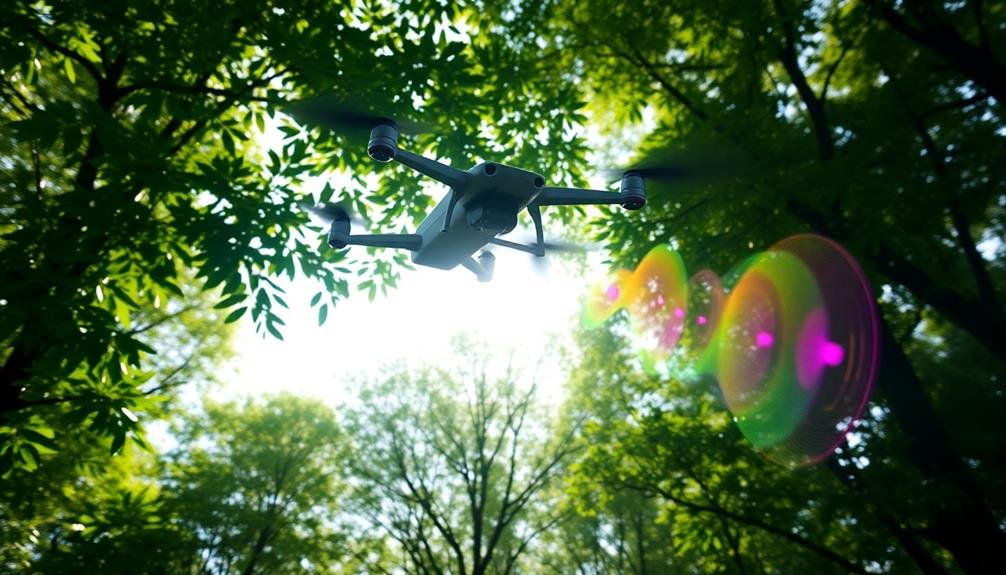
You'll find acoustic monitoring with drones to be a cutting-edge approach for counting bird nests.
By equipping drones with sensitive audio sensors, you can capture the unique nesting calls of various bird species.
AI-powered sound analysis software then processes the recordings, identifying and locating nests based on the distinctive vocalizations of nesting birds.
Drone-Mounted Audio Sensors
Deploying drone-mounted audio sensors has revolutionized acoustic monitoring for bird nest counting. You'll find these devices equipped with high-quality microphones capable of capturing even the faintest bird calls. As the drone hovers above the canopy, it records a wealth of audio data that you can later analyze to identify different species and estimate nest locations.
The advantages of using drone-mounted audio sensors are numerous:
- Coverage of large areas quickly and efficiently
- Minimal disturbance to wildlife compared to ground-based methods
- Access to hard-to-reach or dangerous terrains
- Ability to collect data at various heights and angles
You'll need to take into account factors like flight time, battery life, and weather conditions when planning your surveys. It's essential to use drones with quiet propellers to minimize noise interference.
You can enhance data collection by combining audio sensors with thermal imaging cameras, allowing you to detect heat signatures of nesting birds.
To process the collected audio data, you'll employ advanced software that uses machine learning algorithms to identify bird species and differentiate between various calls and songs. This technology enables you to create accurate maps of nest distributions across large habitats.
Ai-Powered Sound Analysis
Through AI-powered sound analysis, acoustic monitoring with drones has reached new heights of efficiency and accuracy. You'll find that this cutting-edge technology combines the mobility of drones with sophisticated machine learning algorithms to identify and count bird nests based on the unique vocalizations of different species.
As you deploy these AI-equipped drones, they'll record and analyze bird calls in real-time. The system can distinguish between various species, even in noisy environments, by comparing the captured sounds to extensive databases of bird vocalizations. You'll be able to detect subtle differences in pitch, rhythm, and frequency that might escape human ears.
This method allows you to cover large areas quickly and access hard-to-reach locations. You'll receive detailed reports on nest locations, species distribution, and population estimates. The AI can also flag unusual sounds or patterns, alerting you to potential conservation concerns.
With continuous improvements in AI algorithms, you'll find that the accuracy of nest counts and species identification keeps increasing. This technology is revolutionizing ornithological research and conservation efforts, providing unprecedented insights into bird populations and their habitats.
Nesting Call Identification
Three key factors make nesting call identification through acoustic monitoring with drones a game-changer in bird nest counting.
First, it's non-invasive, allowing researchers to gather data without disturbing nesting birds.
Second, it covers large areas quickly, making it ideal for surveying expansive habitats.
Third, it's cost-effective compared to traditional ground-based methods.
You'll find that drones equipped with high-quality microphones can capture bird calls with remarkable clarity.
These calls are then analyzed using AI algorithms to identify specific nesting vocalizations.
This technique is particularly useful for species that have distinctive nesting calls or those that nest in hard-to-reach areas.
To maximize the effectiveness of this method, you should:
- Choose the right time of day for surveys
- Use multiple drones for simultaneous coverage
- Employ noise-canceling technology to isolate bird calls
- Regularly update your AI models with new data
3D Modeling of Nesting Habitats
Cutting-edge technology has revolutionized the way researchers study bird nesting habitats. 3D modeling techniques now allow scientists to create detailed digital representations of nesting environments, offering unprecedented insights into bird behavior and habitat preferences.
You'll find that these models provide a wealth of information about nest structure, location, and surrounding vegetation. By using laser scanning or photogrammetry, you can capture precise measurements and create highly accurate 3D renderings. These models help you analyze factors like nest height, concealment, and proximity to food sources without disturbing the birds.
Here's a quick overview of 3D modeling techniques and their applications:
| Technique | Equipment | Applications |
|---|---|---|
| LiDAR | Laser scanner | Canopy structure, nest placement |
| Photogrammetry | Camera array | Nest architecture, camouflage |
| Drone mapping | UAV with camera | Large-scale habitat mapping |
| CT scanning | X-ray equipment | Internal nest structure |
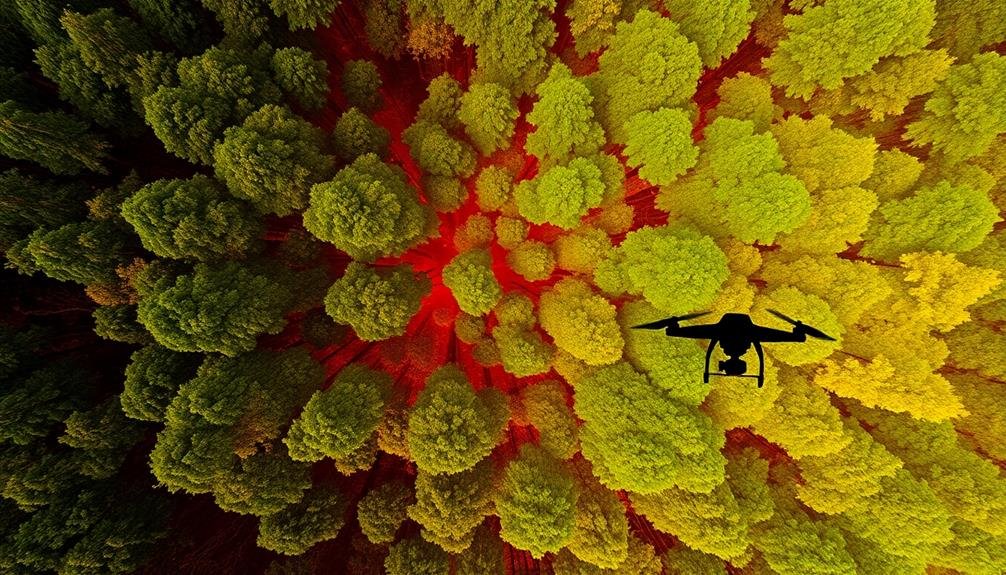
Automated Drone Swarm Counting
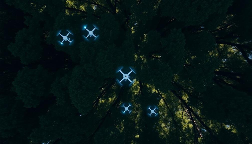
Swarms of automated drones are revolutionizing bird nest counting techniques. You'll find these high-tech solutions offering unprecedented efficiency and accuracy in surveying large areas. Unlike traditional methods, drone swarms can cover vast territories quickly, minimizing disturbance to wildlife.
You'll appreciate how these systems work. Multiple drones fly in coordinated patterns, using advanced sensors and AI to detect and document nests. They're equipped with high-resolution cameras and thermal imaging technology, allowing them to spot nests that might be hidden from ground-level observers.
The advantages of automated drone swarm counting include:
- Increased coverage area in less time
- Reduced human error and bias
- Ability to access difficult or dangerous terrain
- Real-time data collection and processing
You'll find that this method is particularly useful for monitoring colonial nesting birds or species in remote locations. The drones can be programmed to maintain a safe distance from nests, reducing stress on birds.
As you implement this technology, you'll need to take into account local regulations and obtain necessary permits for drone operation in wildlife areas.
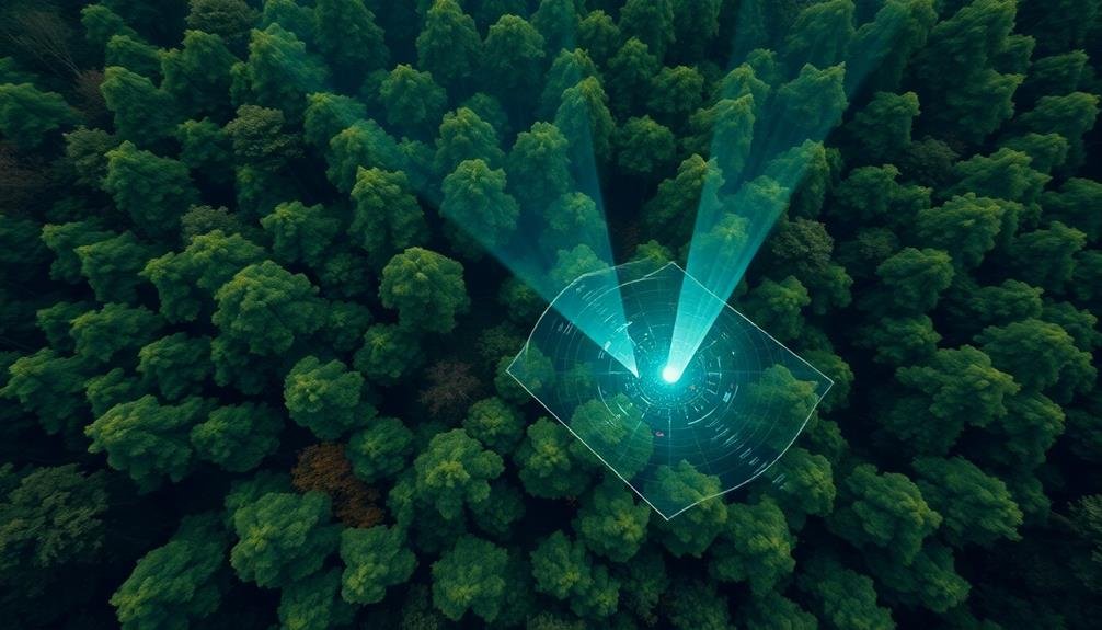
GPS-Tagged Nest Tracking Systems
GPS-tagged nest tracking systems offer you real-time location monitoring of bird nests, providing unprecedented insights into avian behavior.
You'll be able to track nests' positions continuously, allowing for precise data collection on nest movements and habitat preferences.
This technology enables you to gather data-driven migration insights, helping to understand patterns and changes in bird populations over time.
Real-Time Location Monitoring
While traditional nest counting methods have their merits, real-time location monitoring through GPS-tagged nest tracking systems has revolutionized bird population studies.
You'll find that these systems provide unprecedented insights into nesting behaviors and population dynamics. They allow you to track multiple nests simultaneously, giving you an extensive view of bird movements and habitat preferences.
With real-time location monitoring, you can:
- Detect nest abandonment or predation events immediately
- Identify previously unknown nesting sites
- Monitor breeding success rates more accurately
- Analyze patterns in nest site selection over time
You'll appreciate the efficiency of this method, as it reduces the need for time-consuming manual surveys. It's particularly useful for studying elusive or endangered species in remote areas.
You can receive updates on nest locations and status directly to your device, enabling quick response to any threats or disturbances. This technology also minimizes human disturbance to nesting sites, as you'll need fewer in-person visits.
Data-Driven Migration Insights
Real-time location monitoring systems don't just stop at nest tracking; they open up a whole new world of migration insights. By analyzing the data collected from GPS-tagged nests, you can uncover patterns in bird migration that were previously hidden.
You'll be able to map out precise routes, identify key stopover sites, and determine the timing of migrations with unprecedented accuracy. These data-driven insights allow you to understand how environmental factors influence migration.
You can correlate weather patterns, food availability, and habitat changes with bird movements. This information is essential for conservation efforts, as it helps you predict how climate change might affect future migration patterns.
You'll also gain valuable knowledge about population dynamics. By tracking nests across seasons, you can estimate survival rates, breeding success, and population trends.
This data helps you identify threats to specific species and develop targeted conservation strategies. Moreover, you can use this information to improve bird-friendly urban planning.
Time-Lapse Aerial Photography

In light of recent technological advancements, time-lapse aerial photography has emerged as a game-changing technique for counting bird nests. This method allows you to capture large areas over extended periods, providing a thorough view of nesting patterns and population dynamics.
To implement this technique, you'll need to use drones or fixed-wing aircraft equipped with high-resolution cameras. These devices can be programmed to fly predetermined routes at regular intervals, capturing images of nesting sites. The collected data is then analyzed using sophisticated image processing software to identify and count nests.
Time-lapse aerial photography offers several advantages over traditional counting methods:
- Reduced disturbance to bird populations
- Increased accuracy in nest counts
- Ability to cover vast areas efficiently
- Enhanced temporal resolution for tracking nest development
Frequently Asked Questions
How Do Researchers Minimize Disturbance to Birds During Remote Nest Counting?
You'll find researchers use non-invasive methods to count nests without disturbing birds. They'll employ remote sensing technologies, like drones with thermal cameras, or use binoculars from a distance. They'll also time observations to avoid critical nesting periods.
What Are the Legal Regulations Surrounding Drone Use for Bird Nest Surveys?
You'll need to check local and federal laws before using drones for bird nest surveys. They often require permits, have altitude restrictions, and may be prohibited in certain areas. Don't forget to respect wildlife protection regulations too.
How Accurate Are Remote Counting Techniques Compared to Traditional Ground-Based Methods?
You'll find remote counting techniques can be quite accurate, often matching ground-based methods. They're not perfect, though. Factors like vegetation density and nest visibility can affect accuracy. Still, they're improving rapidly with new technologies.
Can These Technologies Be Used to Monitor Other Wildlife Species' Habitats?
You'll find these technologies are adaptable for monitoring various wildlife habitats. They're not just for bird nests. You can use them to track mammal dens, reptile burrows, and even aquatic species' breeding grounds. They're versatile tools for conservation efforts.
What Are the Cost Implications of Implementing These Innovative Nest Counting Techniques?
You'll find that implementing innovative nest counting techniques can be costly initially. You're looking at expenses for equipment, software, and training. However, you'll likely save money long-term through reduced labor costs and increased efficiency.
In Summary
You've now explored cutting-edge methods for remote bird nest counting. These techniques offer exciting possibilities for ornithologists and conservationists alike. By embracing technology, you're able to gather more accurate data while minimizing disturbance to wildlife. As you implement these innovative approaches, you'll contribute to a deeper understanding of bird populations and habitats. Remember, the future of avian research is in your hands – keep pushing boundaries and exploring new frontiers in nest monitoring.
As educators and advocates for responsible drone use, we’re committed to sharing our knowledge and expertise with aspiring aerial photographers.


Leave a Reply