To boost aerial survey precision, focus on five key techniques. Start with ideal flight planning, defining boundaries and considering environmental factors. Next, strategically place ground control points for accurate georeferencing. Calibrate your camera and adjust settings for crisp, noise-free images. Guarantee proper image overlap during capture, aiming for at least 75% forward and 60% side overlap. Finally, select post-processing software that can handle large datasets and offers advanced features like automatic tie point generation. By mastering these techniques, you'll greatly enhance the accuracy and quality of your aerial surveys. Dive deeper to reveal the full potential of each method.
Key Takeaways
- Implement optimal flight planning with precise survey boundaries and overlapping flight paths.
- Strategically place ground control points for accurate georeferencing and improved data quality.
- Calibrate camera settings for optimal image capture, including ISO, shutter speed, and aperture.
- Ensure high image overlap (75% forward, 60% side) for enhanced accuracy and resilience against environmental factors.
- Select appropriate post-processing software capable of handling large datasets and generating accurate outputs.
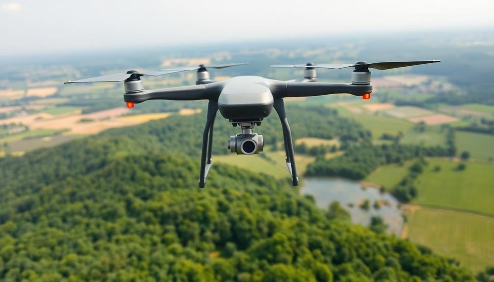
Optimal Flight Planning
For successful aerial surveys, ideal flight planning is essential. You'll need to take into account several factors to guarantee your flight paths maximize data collection efficiency and accuracy.
Start by defining your survey area clearly, including its boundaries and any no-fly zones. Then, determine the best flying altitude based on your desired ground sampling distance and the capabilities of your sensors.
Calculate the appropriate overlap between flight lines and individual images to guarantee complete coverage and enable accurate photogrammetry. You'll want to aim for at least 60% forward overlap and 30% side overlap, though higher percentages may be necessary for challenging terrain.
Take into account environmental factors like wind direction and sun angle when planning your flight paths. Flying perpendicular to the wind can help maintain consistent ground speed, while avoiding glare from the sun improves image quality.
Don't forget to account for takeoff and landing locations, as well as any necessary flight restrictions or permits. Use flight planning software to enhance your routes and guarantee you're meeting all requirements.
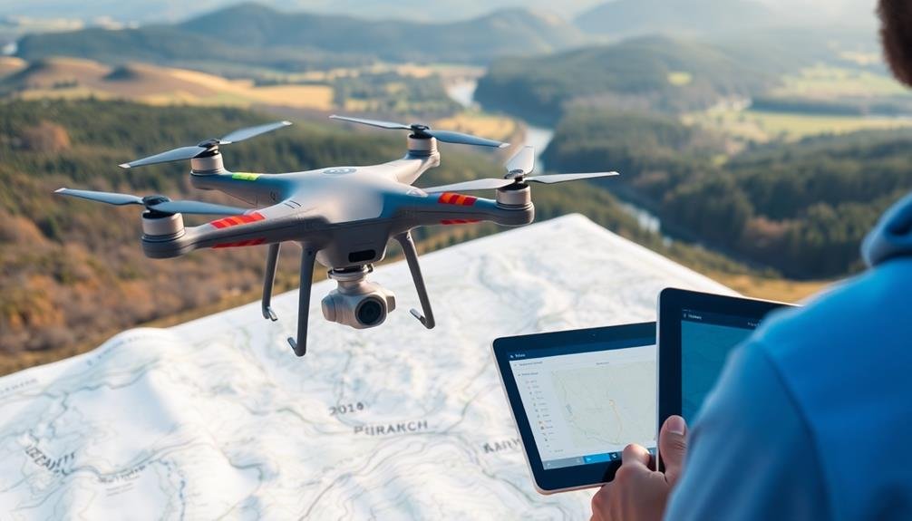
Ground Control Point Placement
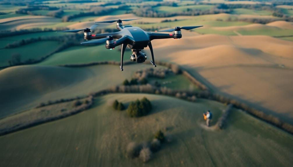
Surveyor's stakes mark the critical spots for ground control points (GCPs) in aerial surveys. You'll need to place these GCPs strategically to guarantee accurate data collection and processing.
Start by identifying the survey area's boundaries and terrain features. Aim to distribute GCPs evenly across the entire region, with a focus on corners and edges.
For flat terrain, place GCPs in a grid pattern, spacing them about 100-200 meters apart. In areas with varying elevations, position GCPs at high and low points to capture the landscape's contours. You'll want to use more GCPs in complex terrains or when higher accuracy is required.
Ascertain that each GCP is visible from the air and easily identifiable in your imagery. Use large, contrasting targets or paint markings on flat surfaces.
Don't forget to record precise GPS coordinates for each GCP location. You'll need this data during post-processing to georeference your aerial imagery accurately.
Camera Calibration and Settings

Proper camera calibration and settings are essential for obtaining high-quality aerial imagery. You'll need to calibrate your camera before each flight to guarantee accurate results. Start by adjusting the focal length to match your survey requirements. Set the ISO as low as possible to reduce noise, typically between 100-400. Choose a fast shutter speed, usually 1/1000 or higher, to minimize motion blur.
Select the appropriate aperture to balance depth of field and image sharpness. Generally, f/5.6 to f/8 works well for aerial surveys. Use manual focus and set it to infinity to keep distant objects sharp. Opt for RAW format to capture maximum data for post-processing flexibility.
Here's a quick reference table for ideal camera settings:
| Setting | Recommendation | Purpose |
|---|---|---|
| ISO | 100-400 | Minimize noise |
| Shutter Speed | ≥ 1/1000 | Reduce motion blur |
| Aperture | f/5.6 – f/8 | Balance depth of field |
Remember to perform a pre-flight check of your camera settings. Adjust white balance according to lighting conditions, and verify your memory card has sufficient space. By carefully calibrating your camera and refining settings, you'll greatly improve the quality and accuracy of your aerial survey data.
Overlapping Image Capture
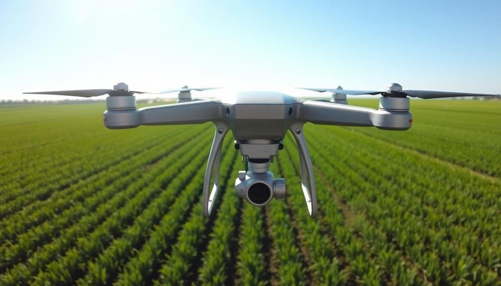
Once your camera is properly calibrated, it's time to focus on capturing overlapping images. This technique is essential for creating accurate 3D models and orthomosaics from your aerial survey data. Aim for at least 75% forward overlap and 60% side overlap between consecutive images to guarantee extensive coverage and minimize data gaps.
To achieve ideal overlap, you'll need to carefully plan your flight path and adjust your drone's speed and altitude. Use mission planning software to calculate the perfect flight parameters based on your camera specifications and desired ground sample distance.
During the flight, maintain a consistent speed and altitude to guarantee uniform image overlap throughout the survey area.
Remember, proper image overlap offers several benefits:
- Improved accuracy and detail in your final outputs
- Enhanced ability to detect and correct errors in individual images
- Greater resilience against unexpected factors like wind or GPS drift
Post-Processing Software Selection
Choosing the right post-processing software can make or break your aerial survey project. You'll need a program that can handle the large volumes of data collected during your aerial survey and efficiently process it into usable information. Look for software that offers features like automatic tie point generation, dense point cloud creation, and orthomosaic generation.
Consider your specific needs when selecting software. If you're working with multispectral imagery, verify the program can process these specialized data types. For projects requiring high precision, opt for software with advanced georeferencing capabilities and support for ground control points.
Here's a comparison of popular post-processing software options:
| Software | Key Features | Best For |
|---|---|---|
| Pix4D | User-friendly, versatile | General purpose |
| Agisoft Metashape | High accuracy, customizable | Research, complex projects |
| DroneDeploy | Cloud-based, fast processing | Quick turnaround |
Don't forget to factor in your team's expertise and the learning curve associated with each software option. Some programs offer free trials, so you can test them before committing. By carefully selecting your post-processing software, you'll verify smoother workflows and more accurate results for your aerial survey projects.
Frequently Asked Questions
How Does Weather Affect Aerial Survey Accuracy?
Weather greatly impacts your aerial survey accuracy. You'll face challenges with wind, rain, and cloud cover. They can affect image quality, data collection, and flight stability. Always check forecasts and plan accordingly for best results.
What Are the Legal Requirements for Conducting Aerial Surveys?
You'll need to obtain proper licenses and permits, follow aviation regulations, and adhere to local laws. Don't forget to secure airspace clearance, respect privacy rules, and guarantee your equipment meets safety standards. Always prioritize legal compliance.
Can Aerial Surveys Be Conducted at Night?
You can conduct aerial surveys at night, but it's challenging. You'll need special equipment like thermal cameras and night vision gear. Make sure you're complying with local regulations, as night flying often has stricter rules.
How Often Should Drone Equipment Be Maintained for Optimal Survey Performance?
You should maintain your drone equipment regularly, ideally before and after each flight. It's essential to check batteries, propellers, and sensors weekly. For peak performance, conduct thorough inspections monthly and service your drone annually.
What Are the Potential Environmental Impacts of Frequent Aerial Surveys?
You'll find that frequent aerial surveys can disturb wildlife, increase noise pollution, and potentially harm ecosystems. They may also contribute to air pollution and energy consumption. However, modern drones are becoming more eco-friendly, minimizing these impacts.
In Summary
You've now got the tools to elevate your aerial survey game. By implementing these five techniques, you'll see a marked improvement in your data's accuracy and reliability. Remember, it's all about careful planning, precise control points, optimized camera settings, ample image overlap, and choosing the right software. Don't hesitate to put these methods into practice – they'll transform your aerial surveys from good to exceptional. Keep refining your approach for even better results.
As educators and advocates for responsible drone use, we’re committed to sharing our knowledge and expertise with aspiring aerial photographers.


Leave a Reply