
Aerial photography can transform your property development marketing, offering stunning views that showcase your projects from unique perspectives. You'll need to understand key aspects like altitude, angles, and equipment choices to capture the best shots. Drones have revolutionized the industry, providing cost-effective and flexible options for aerial imagery. Plan your shoot carefully, considering weather conditions, timing, and legal requirements. Mastering camera settings, composition techniques, and post-processing skills will elevate your aerial photography game. From capturing building heights to creating 360-degree views, you'll have a range of tools at your disposal to make your properties stand out. The sky's the limit for innovative property visualization.
Understanding Aerial Property Photography

Three key elements define aerial property photography: altitude, angle, and equipment. When capturing property development views from above, you'll need to take into account each of these factors carefully.
Altitude plays an essential role in determining the scale and perspective of your shots. Lower altitudes provide more detailed views of specific features, while higher altitudes offer a broader overview of the entire development. You'll want to experiment with different heights to find the perfect balance for your project.
The angle of your shots can dramatically affect how viewers perceive the property. Straight-down views are excellent for showcasing layouts and dimensions, while oblique angles can highlight the relationship between buildings and their surroundings. Don't be afraid to try various angles to capture the most compelling views.
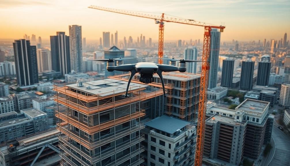
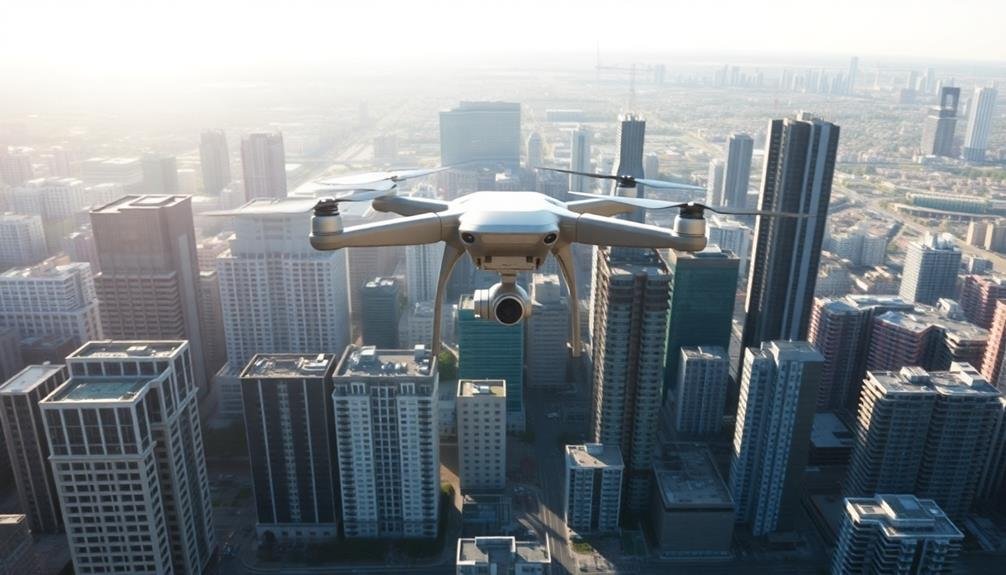
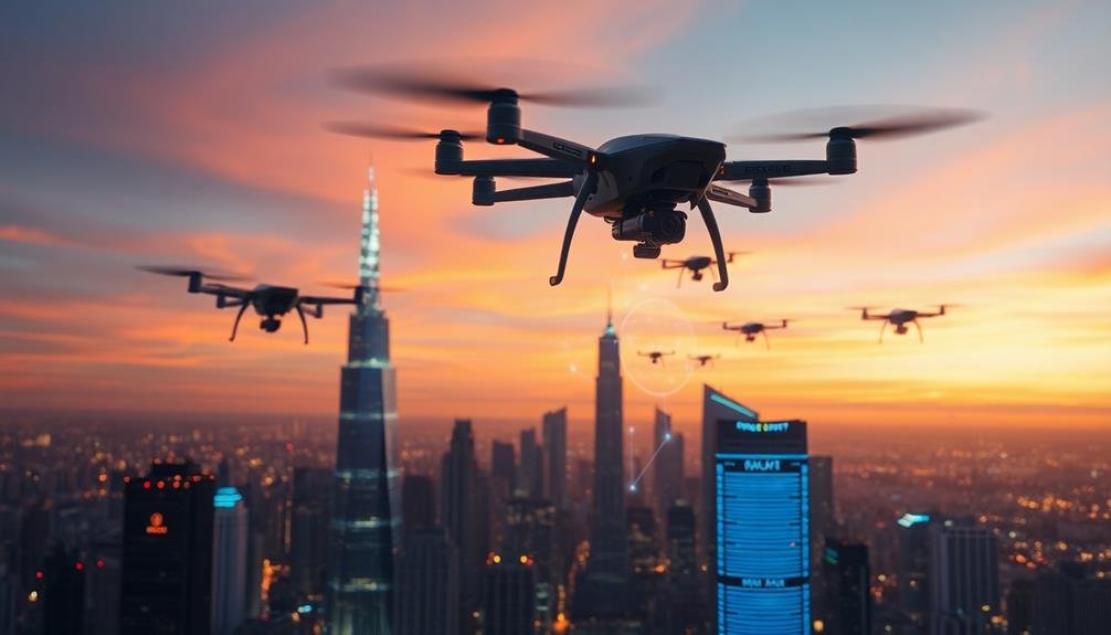
Your choice of equipment is equally important. Drones have revolutionized aerial photography, offering flexibility and cost-effectiveness.
However, you might also take into account using helicopters or fixed-wing aircraft for larger projects or when higher altitudes are required. Make sure you're using high-quality cameras with appropriate lenses to capture sharp, detailed images that do justice to the property's features.
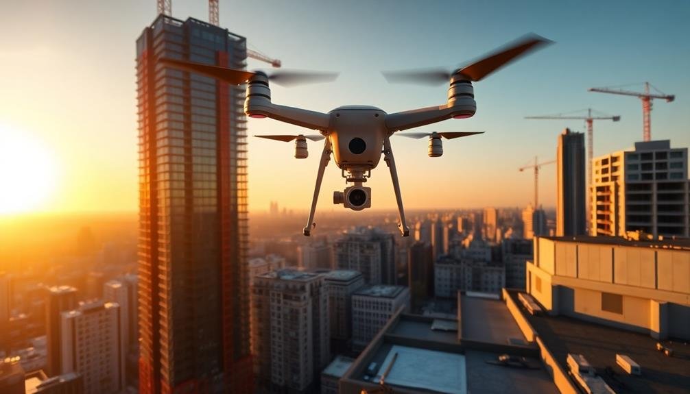
Drone Technology for Real Estate
Drone technology has rapidly transformed the real estate industry, offering an innovative and cost-effective way to capture stunning aerial views of properties.
You'll find that drones provide a unique perspective, showcasing a property's layout, surroundings, and features in ways traditional photography can't match.
When you're considering using drone technology for real estate, you'll need to familiarize yourself with local regulations and obtain necessary permits. Many countries require drone operators to be licensed, so make sure you're compliant before taking flight.
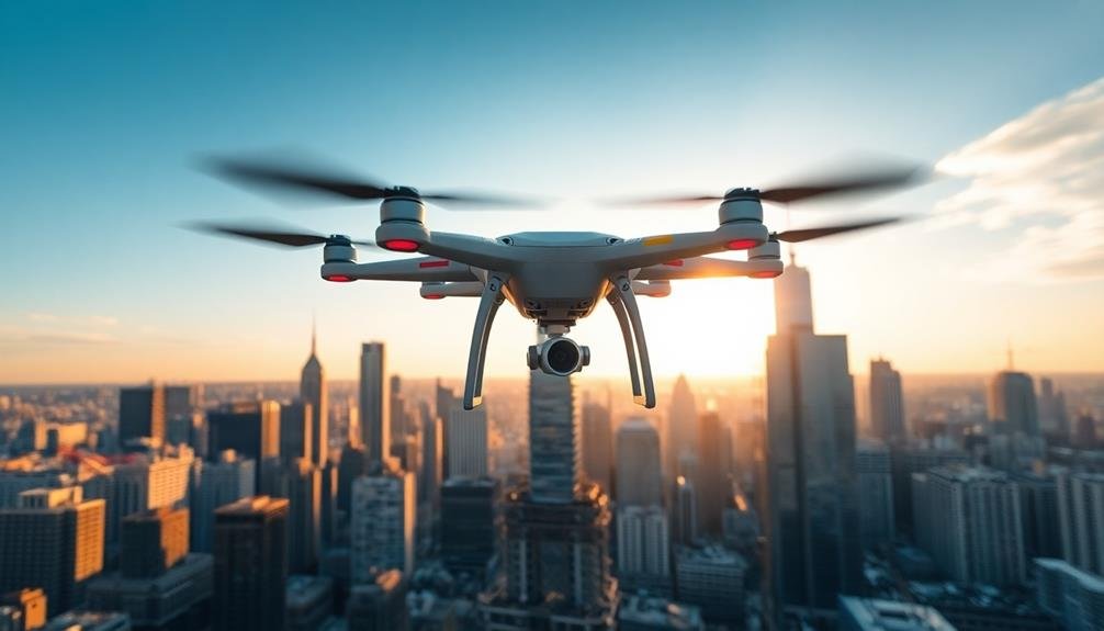
You'll want to invest in a high-quality drone with a good camera and stabilization features. Look for models with long battery life and obstacle avoidance systems to guarantee smooth, safe flights.
To capture the best footage, plan your shots in advance. Consider the property's best angles, nearby landmarks, and the time of day for the best lighting.
You can use drones to create virtual tours, showcase property boundaries, and highlight nearby amenities.
Remember to edit your footage carefully, selecting the most impactful shots and creating a compelling narrative that will engage potential buyers or investors.
Planning Your Aerial Shoot
When planning your aerial shoot, you'll need to take into account three key aspects.
First, select the ideal time for lighting and weather conditions to showcase the property at its best.
Next, prepare an extensive equipment checklist to guarantee you have all necessary gear for a successful drone flight.
Optimal Time Selection
Selecting the ideal time for your aerial shoot is essential for capturing stunning property development footage. Consider both the time of day and season when planning your shoot. The golden hours, just after sunrise and before sunset, offer warm, soft light that enhances the appearance of buildings and landscapes. However, midday sun can provide clear, sharp images that highlight architectural details.
Weather conditions play a vital role in timing your shoot. Clear skies are ideal, but dramatic cloud formations can add visual interest. Avoid days with strong winds, which can affect drone stability and image quality.
Seasonal changes impact your footage too. Spring and summer showcase lush greenery, while fall colors can create a striking backdrop. Winter shoots can emphasize clean lines and structural elements.
Consider the property's surroundings and how they change throughout the day. Shadows from nearby buildings or trees can impact visibility. If possible, scout the location at different times to determine the best lighting conditions.
Don't forget to factor in local regulations and air traffic patterns when scheduling your shoot. By carefully selecting the best time, you'll maximize the visual impact of your aerial property development footage.
Equipment Checklist
Preparing for your aerial property development shoot requires a detailed equipment checklist to confirm you're fully equipped for success.
First, make sure you've got a reliable drone with a high-quality camera. Opt for a model with at least 4K video capabilities and RAW photo support. Don't forget spare batteries and propellers to extend your flight time and handle any mishaps.
Pack your memory cards, making certain they're fast and have ample storage. Bring a tablet or smartphone with a large, bright screen for live viewing and controlling your drone. A sun hood can improve visibility in bright conditions.
Include a landing pad to protect your drone from dust and debris during takeoff and landing. Don't overlook safety gear like a high-visibility vest and a first-aid kit.
Bring cleaning supplies for your drone and camera lens. Consider packing ND filters to control exposure in bright conditions.
Location Scouting Essentials
Effective location scouting lies at the heart of a successful aerial property development shoot. Before you take to the skies, you'll need to thoroughly research and assess your target area. Start by studying satellite imagery and topographical maps to identify potential vantage points and obstacles. Reflect on the property's layout, surrounding landmarks, and any unique features you want to highlight.
Next, conduct a ground-level site visit. This allows you to spot any hazards or restrictions that mightn't be visible from maps alone. Look for power lines, tall trees, or nearby buildings that could interfere with your flight path.
Take note of the sun's position throughout the day to determine the best lighting conditions for your shoot. Don't forget to check local regulations and obtain necessary permits. Some areas may have flight restrictions or require special permissions for aerial photography.
You'll also want to reflect on the property's surroundings and how they'll impact your shots. Are there any scenic elements nearby that could enhance your visuals?
Optimal Weather Conditions
When capturing property development views, you'll want to aim for clear skies to showcase the site at its best.
Consider the seasonal changes in your area and how they might impact the visual appeal of the property.
You can strategically time your shoots to highlight the development during ideal weather conditions, whether that's lush greenery in spring or pristine snow cover in winter.
Clear Skies Preferred
Clear skies stand out as the ideal backdrop for showcasing property views. When capturing images or videos for property development, you'll want to prioritize days with minimal cloud cover. This allows potential buyers or investors to see the full extent of the vista, unobstructed by weather elements.
Aim to schedule your shoots during periods of high atmospheric pressure, which often correlate with clearer skies. You'll find that early morning or late afternoon hours typically offer the best lighting conditions, enhancing the visual appeal of the property's surroundings.
Consider these benefits of clear skies for property view documentation:
- Improved visibility of distant landmarks
- Enhanced color saturation in landscapes
- Clearer delineation between sky and land features
While some might argue that a few clouds add character, remember that your primary goal is to present the view in its most expansive and impressive state.
If you're dealing with a location prone to frequent cloud cover, you may need to be patient and flexible with your shooting schedule. Keep an eye on weather forecasts and be prepared to act quickly when ideal conditions arise.
Timing Seasonal Changes
Timing seasonal changes plays an essential role in capturing ideal property views. You'll want to take into account how different seasons affect the landscape and lighting around your development.
Spring offers vibrant greenery and blooming flowers, while autumn showcases warm, golden hues. Summer provides lush, full foliage, and winter can create stunning snow-covered scenes in colder climates.
Pay attention to the sun's position throughout the year, as it affects shadows and light quality. Early morning and late afternoon often provide the most flattering light, with softer shadows and warmer tones. During these "golden hours," you'll capture the property in its best light.
Don't overlook the impact of seasonal events on your views. Fall foliage, spring blossoms, or winter frost can dramatically enhance your property's appeal. If you're near water, take into account how seasonal changes affect reflections and water levels.
Plan your photo shoots to coincide with ideal weather conditions for each season. Clear, sunny days are perfect, but don't dismiss overcast conditions, which can provide soft, even lighting.
Legal Considerations and Permits
Maneuvering the legal landscape is essential for any property development project. Before you start capturing those sky-high views, confirm you've got all the necessary permits and legal clearances.
Research local zoning laws, building codes, and height restrictions that might affect your project. You'll need to comply with these regulations to avoid costly fines or project delays.
Don't forget to take into account privacy laws when capturing views. While you're aiming for stunning vistas, you must respect neighboring properties' privacy rights.
Consult with a local real estate attorney to understand the legal boundaries of your project.
Here are key legal considerations to keep in mind:
- Obtain proper permits for drone usage if you're planning aerial photography
- Secure rights-of-way for any equipment or personnel that may need to access neighboring properties
- Confirm compliance with environmental regulations, especially for projects near protected areas
Selecting the Right Drone
With legal aspects addressed, it's time to focus on the equipment that'll capture those breathtaking views. Selecting the right drone is vital for property development photography. You'll want to take into account several factors to guarantee you get the best results.
First, evaluate the drone's camera quality. Look for models with at least 4K resolution and adjustable settings for exposure and white balance. A 3-axis gimbal is essential for smooth, stable footage.
Next, reflect on flight time and range. Longer battery life means more shooting opportunities, while extended range allows you to capture wider perspectives.
Don't overlook portability. A compact, foldable drone is easier to transport to various sites. Pay attention to intelligent flight modes like waypoints and orbit, which can help you capture complex shots effortlessly. Weather resistance is also important, as you'll often work in challenging conditions.
Lastly, factor in your budget and skill level. While high-end drones offer superior features, they may be overkill for beginners. Start with a mid-range model and upgrade as your skills improve.
Camera Settings for Aerial Shots
Mastering camera settings is essential for capturing stunning aerial shots in property development photography. You'll need to adjust your camera's settings to accommodate the unique challenges of aerial photography.
Start by setting your shutter speed to at least 1/500th of a second to minimize motion blur caused by the drone's movement. Choose a lower ISO, ideally between 100-400, to reduce noise in your images. For aperture, aim for f/4 to f/8 to maintain sharpness across the frame while allowing enough light.
Consider using these shooting modes for different scenarios:
- Aperture Priority: Ideal for controlling depth of field in landscape shots
- Shutter Priority: Best for capturing fast-moving subjects or when flying at higher speeds
- Manual Mode: Provides complete control over all settings for experienced photographers
When framing your shots, use the rule of thirds to create visually appealing compositions. Enable your camera's grid overlay to help with this.
Shoot in RAW format to preserve more image data, giving you greater flexibility in post-processing. Finally, don't forget to adjust your white balance to match the lighting conditions, ensuring accurate color representation in your aerial property photos.
Composition Techniques for Property Views
Composition techniques play an essential role in creating compelling property views that showcase a development's best features. When framing your shots, use the rule of thirds to create balance and visual interest. Divide your frame into a 3×3 grid and place key elements along these lines or at their intersections.
For aerial shots, capture the property from various angles to highlight its unique attributes. Try shooting from directly above for a bird's-eye view, or at a 45-degree angle to show depth and perspective. Include surrounding landmarks or natural features to provide context and emphasize the property's location.
Don't forget to evaluate leading lines, such as roads, pathways, or architectural elements, to guide the viewer's eye through the image. Use symmetry and patterns when possible to create visually striking compositions. If you're showcasing individual buildings, frame them to emphasize their height or unique architectural features.
Remember to leave negative space in your compositions, allowing the property to breathe within the frame. This technique can create a sense of scale and emphasize the development's significance in its surroundings.
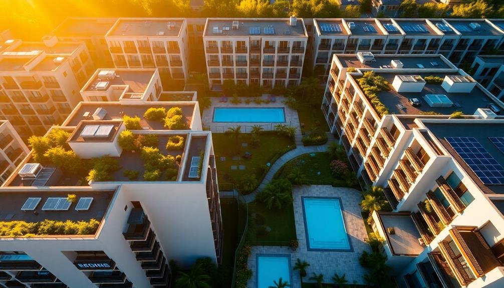
Capturing Different Angles and Elevations
When capturing property views, you'll want to contemplate various angles and elevations to provide a thorough perspective.
Start by contrasting ground-level shots with aerial views to showcase the property's surroundings and overall layout.
Don't forget to highlight building heights and create 360-degree views, giving potential buyers or investors a complete understanding of the development's scale and features.
Ground-level vs. Aerial
Capturing both ground-level and aerial views is essential for thorough property development documentation. Ground-level shots provide a realistic perspective of how people will experience the property, showcasing details like entryways, landscaping, and street-level aesthetics. They're vital for potential buyers or tenants to envision themselves in the space.
Aerial views, on the other hand, offer a broader context. They highlight the property's location, surrounding amenities, and overall layout. You'll want to use drones or helicopters to capture these shots, giving viewers an all-encompassing understanding of the development's scale and its place within the neighborhood.
When deciding between ground-level and aerial shots, consider:
- The property's unique selling points
- Your target audience's preferences
- The story you're trying to tell about the development
Ultimately, a mix of both perspectives will provide the most thorough representation. Ground-level shots connect viewers emotionally to the property, while aerial views impress them with the bigger picture.
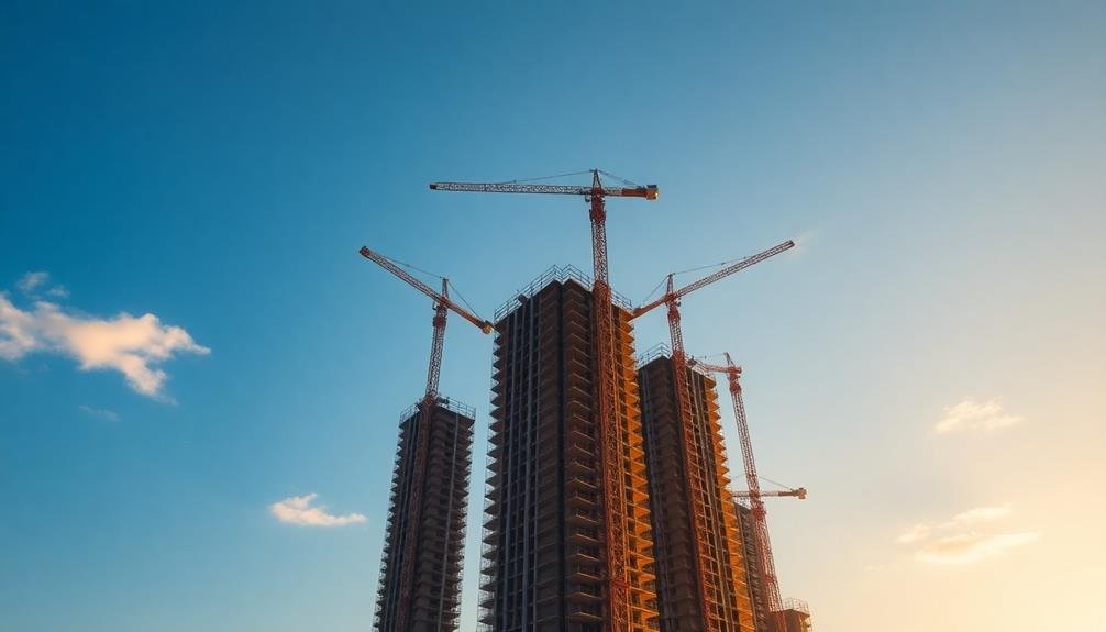
Showcasing Building Heights
Building height is a key feature in property development that demands careful visual representation. When showcasing building heights, you'll want to employ various techniques to accurately convey the scale and impact of your structures.
Start by capturing images from street level, looking up at the building to emphasize its towering presence. This perspective helps viewers imagine themselves standing at the base, creating a sense of awe.
Next, consider using drones or elevated platforms to capture aerial shots that highlight the building's height in relation to its surroundings.
Don't overlook the power of comparative photography. Place your building alongside familiar landmarks or neighboring structures to provide context and scale. You can also use people or vehicles in the frame to offer size references.
For precise representation, incorporate architectural renderings that include detailed measurements and floor-by-floor breakdowns. These technical illustrations complement your photography and provide potential investors or clients with concrete data.
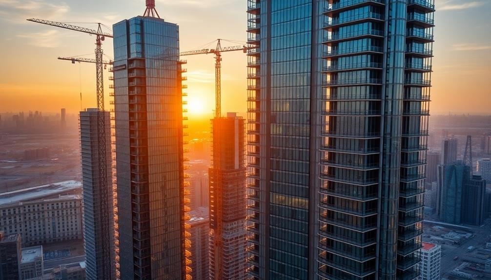
Lastly, experiment with time-lapse photography to showcase the building's height progression during construction. This dynamic approach not only displays the final height but also tells the story of the development process.
360-Degree Property Views
To truly showcase a property's features and appeal, you'll need to master the art of capturing 360-degree views. This all-encompassing approach allows potential buyers or investors to fully appreciate the property's surroundings and positioning. Start by identifying key vantage points around the development site, ensuring you cover all angles and elevations.
Use a combination of ground-level and elevated shots to provide a complete perspective. Drones can be invaluable for capturing aerial views, offering a unique bird's-eye perspective of the property and its environs.
When shooting, consider the following:
- Time of day: Capture views during different lighting conditions to highlight the property's best features
- Seasonal changes: Showcase the property throughout the year to demonstrate its year-round appeal
- Focal points: Emphasize attractive landmarks, natural features, or cityscapes visible from the property
Don't forget to capture interior views as well. Use wide-angle lenses to create immersive 360-degree panoramas of key rooms and spaces. This allows viewers to virtually explore the property, getting a feel for its layout and flow.
Post-Processing Aerial Photographs

Once you've obtained aerial photographs for your property development project, post-processing becomes essential to enhance their quality and usefulness.
Start by importing your images into a professional photo editing software like Adobe Photoshop or Lightroom. Adjust the exposure, contrast, and color balance to guarantee the property's features are clearly visible.
Next, focus on sharpening the images to bring out fine details. Use noise reduction tools to minimize graininess, especially if the photos were taken in low-light conditions.
Crop the images to remove any unnecessary elements and create a more focused view of the development site.
Consider stitching multiple images together to create a panoramic view if you've captured overlapping shots. This can provide a more thorough perspective of the property.
Apply geometric corrections to rectify any distortions caused by the camera's angle or lens.
Creating 3D Models From Drone Imagery

Advancements in drone technology have revolutionized the creation of 3D models for property development. You'll find that using drone imagery to build 3D models offers unparalleled accuracy and efficiency. By capturing high-resolution aerial photos from multiple angles, you're able to generate detailed, textured models of buildings, landscapes, and entire development sites.
To create 3D models from drone imagery, you'll need specialized photogrammetry software. This software processes the captured images, identifying common points and stitching them together to form a cohesive 3D representation. You'll want to ascertain your drone captures images with sufficient overlap, typically 60-80%, to guarantee accurate reconstruction.
The benefits of using drone-based 3D modeling for property development are numerous:
- Improved visualization for stakeholders and potential buyers
- Accurate measurements and spatial analysis
- Ability to track construction progress over time
Once you've generated your 3D model, you can easily integrate it into various platforms for further analysis or presentation. This might include virtual reality experiences, interactive web viewers, or even 3D printing for physical models.
Showcasing Property Features From Above
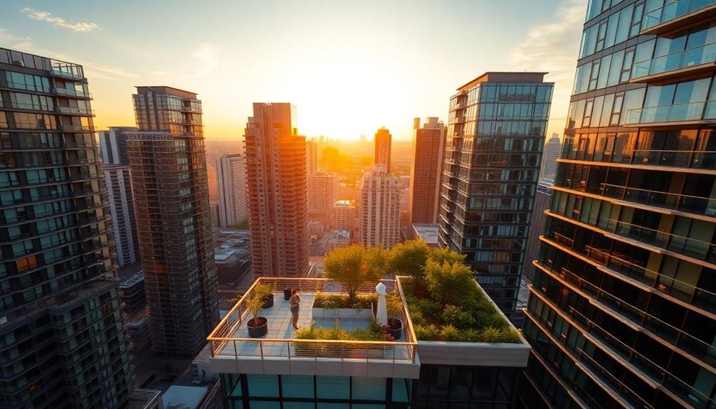
Aerial views offer a unique perspective that can dramatically enhance your property's appeal. When showcasing features from above, focus on elements that aren't easily visible from ground level. Highlight the property's layout, emphasizing its overall shape and how different areas connect. Capture the expanse of green spaces, gardens, or courtyards to showcase outdoor amenities.
Use drone footage to reveal the property's relationship with its surroundings. Showcase proximity to desirable features like parks, beaches, or city centers. Emphasize any scenic views the property enjoys, such as mountains, lakes, or skylines. These aerial shots can give potential buyers or investors a better understanding of the location's value.
For larger developments, aerial imagery can effectively demonstrate the scale of the project. Showcase the entirety of a multi-building complex or a sprawling estate. Capture images at different times of day to highlight how natural light interacts with the property. Dawn and dusk shots can be particularly striking, showcasing the property in golden hour lighting.
Remember to comply with local drone regulations and respect privacy concerns when capturing these aerial views.
Integrating Aerial Shots Into Marketing

How can you effectively incorporate aerial shots into your property marketing strategy? Start by selecting the most impactful images that showcase your development's best features from above. Use these shots to create a visual narrative that highlights the property's location, amenities, and surrounding landscape.
Integrate aerial footage into your website's homepage, property listings, and social media campaigns to capture potential buyers' attention and provide a unique perspective.
Consider using aerial shots in the following ways:
- Create a virtual tour that combines ground-level and aerial footage
- Develop eye-catching brochures featuring overhead views of the property
- Use drone footage to produce cinematic video presentations
When integrating aerial shots into your marketing materials, make sure they complement your existing content rather than overshadowing it. Use these images to provide context and enhance the overall understanding of the property's layout and surroundings.
Additionally, consider including before-and-after aerial shots to demonstrate the development's progress and potential. By strategically incorporating aerial photography and videography into your marketing efforts, you'll create a more engaging and thorough presentation of your property, ultimately attracting more interested buyers and investors.
Future Trends in Aerial Visualization
You'll soon see AI-enhanced image processing revolutionize aerial property visualization, offering clearer and more detailed views than ever before.
Virtual reality integration will allow you to immerse yourself in aerial perspectives, exploring properties as if you're truly flying above them.
Real-time data streaming will enable you to access up-to-the-minute aerial footage, ensuring you always have the most current visual information at your fingertips.
Ai-Enhanced Image Processing
In the domain of future trends in aerial visualization, AI-enhanced image processing stands at the forefront of innovation. This cutting-edge technology is revolutionizing how you capture, analyze, and present property development views. By leveraging machine learning algorithms, you'll be able to automate complex image processing tasks, saving time and improving accuracy.
AI-enhanced image processing offers several key benefits for your aerial visualization projects:
- Automated object recognition and classification
- Real-time image enhancement and color correction
- Advanced stitching and panorama creation
You'll find that AI can quickly identify and label key features in your aerial images, such as buildings, roads, and vegetation. This streamlines the process of creating detailed property maps and site analyses.
Furthermore, AI algorithms can intelligently adjust lighting, contrast, and color balance to guarantee your aerial shots look their best, even in challenging conditions.
As you explore AI-enhanced image processing, you'll discover its potential to transform your workflow. From automating tedious post-processing tasks to generating 3D models from 2D images, this technology will enable you to produce higher-quality visualizations more efficiently than ever before.
Virtual Reality Integration
Building on the power of AI-enhanced image processing, virtual reality integration takes aerial visualization to new heights.
You'll find that VR technology is revolutionizing how property developers showcase their projects. By combining high-quality aerial footage with immersive 3D environments, you can now offer potential buyers and investors a truly interactive experience.
With VR headsets, you'll transport clients to virtual replicas of developments, allowing them to explore properties from every angle. They can walk through unbuilt structures, experiencing the space as if it were already constructed.
You'll also be able to showcase different design options, letting clients toggle between finishes, layouts, and even time of day.
VR integration isn't just about visuals; it's about creating a sense of presence. You can incorporate ambient sounds, simulated weather conditions, and even virtual tour guides to enhance the experience.
This technology also allows for remote property viewings, expanding your reach to international investors.
As VR hardware becomes more affordable and user-friendly, you'll see it becoming a standard tool in property development marketing. It's not just a gimmick; it's a powerful way to convey your vision and close deals faster.
Real-Time Data Streaming
Real-time data streaming is poised to transform aerial visualization in property development. You'll soon be able to access live, up-to-the-minute aerial footage of construction sites, property boundaries, and surrounding areas. This technology will revolutionize how you monitor progress, make decisions, and communicate with stakeholders.
Imagine viewing a construction site from above, with real-time updates on worker locations, equipment movements, and material deliveries. You'll have instant access to essential information, allowing you to optimize workflows and address issues promptly.
Real-time data streaming will also enhance safety measures by providing immediate alerts for potential hazards or unauthorized access.
Key benefits of real-time data streaming in aerial visualization include:
- Immediate decision-making based on current site conditions
- Enhanced collaboration among project teams and stakeholders
- Improved accuracy in progress tracking and reporting
As this technology advances, you'll see integration with other smart systems, such as IoT devices and AI-powered analytics.
This convergence will create a more thorough and responsive property development ecosystem, enabling you to streamline operations, reduce costs, and deliver projects more efficiently than ever before.
Frequently Asked Questions
How Does Aerial Photography Impact Property Valuation?
Aerial photography can greatly impact your property's valuation. It provides an extensive view of your land, showcasing its size, features, and surroundings. This bird's-eye perspective helps appraisers assess your property's true market value more accurately.
Can Aerial Shots Be Used for Insurance Claims or Damage Assessments?
You can definitely use aerial shots for insurance claims and damage assessments. They'll provide you with a thorough view of property damage, helping you document the extent of destruction and support your claims more effectively.
What Are the Privacy Concerns for Neighboring Properties During Aerial Shoots?
You'll need to contemplate your neighbors' privacy when taking aerial shots. You're capturing more than just your property, so be mindful of others' spaces. It's best to inform nearby residents and respect their concerns.
How Do Seasonal Changes Affect Aerial Property Photography?
You'll notice seasonal changes greatly impact aerial property photography. In spring and summer, you'll capture lush greenery. Fall brings vibrant foliage, while winter showcases snow-covered landscapes. Each season offers unique perspectives and lighting conditions.
Are There Specific Certifications for Real Estate Drone Photographers?
Yes, you'll need specific certifications for real estate drone photography. You should obtain a Part 107 Remote Pilot Certificate from the FAA. It's essential for commercial drone operations, including real estate photography. Don't forget insurance coverage too.
In Summary
You've now got the tools to elevate your property development marketing. By embracing drone technology and aerial photography, you'll showcase properties in stunning new ways. Remember to plan carefully, consider legal requirements, and optimize your shoots for the best results. As you integrate these sky-high views into your marketing strategy, you'll stay ahead of the curve. Keep an eye on emerging trends to continually innovate your aerial visualization techniques.
As educators and advocates for responsible drone use, we’re committed to sharing our knowledge and expertise with aspiring aerial photographers.


Leave a Reply