Author: learning drone photography
-

What Are Hazmat Sensors for UAVs in Emergencies?
Aerial hazmat sensors revolutionize emergency responses, but what makes them indispensable for UAVs during crises?
-
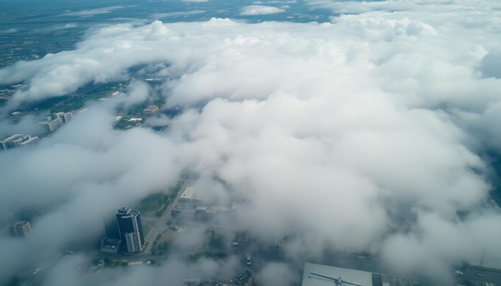
Why Satellite Imagery Falls Short in Disaster Analysis
Limitations of satellite imagery hinder disaster analysis, but why? Discover the surprising reasons these space-based eyes can’t always see the whole picture.
-

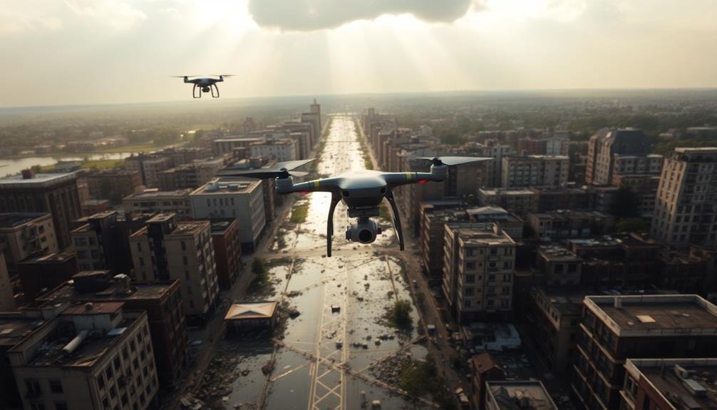
How to Survey Disaster Zones With UAVS
Want to effectively survey disaster zones with UAVs? Learn key steps for drone selection, flight planning, and data collection that will revolutionize your approach.
-

3 Tips for Effective Emergency Response Fleet Coordination
Optimizing your emergency fleet’s coordination can be challenging, but these three crucial tips will revolutionize your response times and effectiveness. Discover how…
-

What Insurance Claims Can Drone Imagery Revolutionize?
Property, crop, and disaster claims are just the beginning. Prepare to discover how drone imagery is reshaping insurance assessments and fraud detection.
-
10 Tips: UAV Surveys for Disaster Damage Evaluation
Boost your disaster damage assessment skills with these 10 UAV survey tips. But are you ready for the unexpected challenges?
-
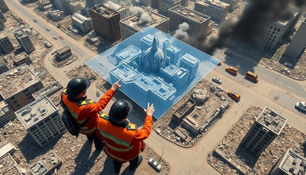
3D Modeling Disaster Zones: Quick Guide for Responders
Startling disasters demand swift action. Learn how 3D modeling equips responders with vital tools for assessment and planning, but the challenges…
-

How to Plan Evacuation Routes With UAV Technology
You’ll revolutionize evacuation planning with UAV tech, but the key lies in
-
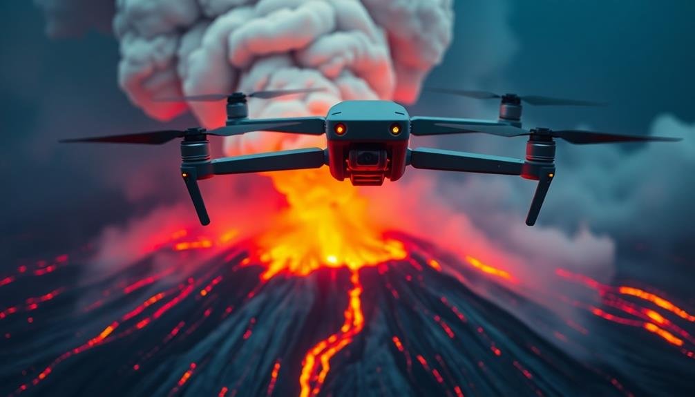
3 UAV Techniques for Tracking Volcanic Eruptions
Blending cutting-edge tech with volcanology, these UAV techniques revolutionize eruption tracking. But which one holds the key to predicting…
-
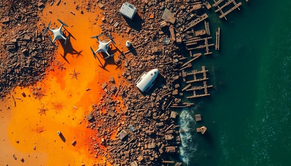
3 Ways Drones Revolutionize Tsunami Aftermath Assessments
Overturning traditional methods, drones now enable rapid damage surveys, enhance search and rescue, and monitor environmental impacts post-tsunami. But how exactly