Author: learning drone photography
-
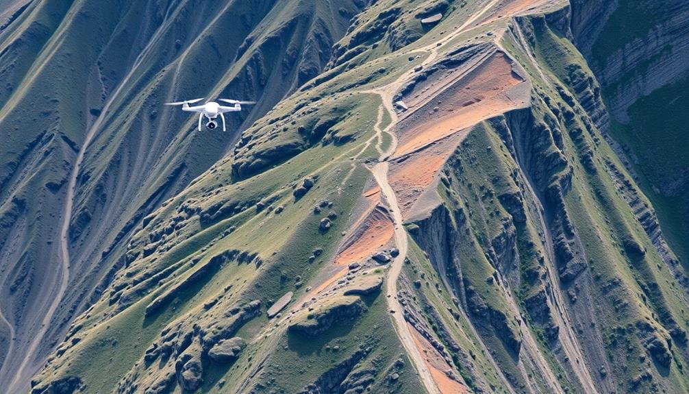
7 Best Techniques for UAV-Based Landslide Risk Evaluation
Harnessing advanced UAV technology, these seven techniques revolutionize landslide risk evaluation, but which one proves most crucial for
-

7 Ways Imagery Empowers Rapid Disaster Recovery Efforts
Breakthrough imagery techniques revolutionize disaster recovery in seven crucial ways. But which method proves most effective for saving
-
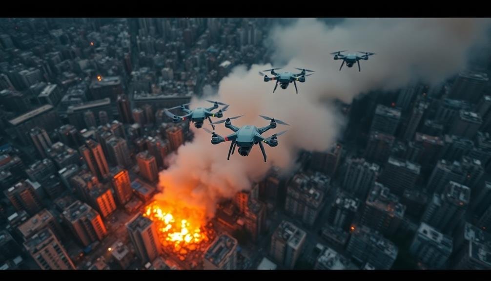
Rapid UAV Surveys: Real-Time Disaster Information Gathering
Lightning-fast UAV surveys revolutionize disaster response, but how do they gather crucial real-time information? Discover the game-changing technology that’s saving lives.
-
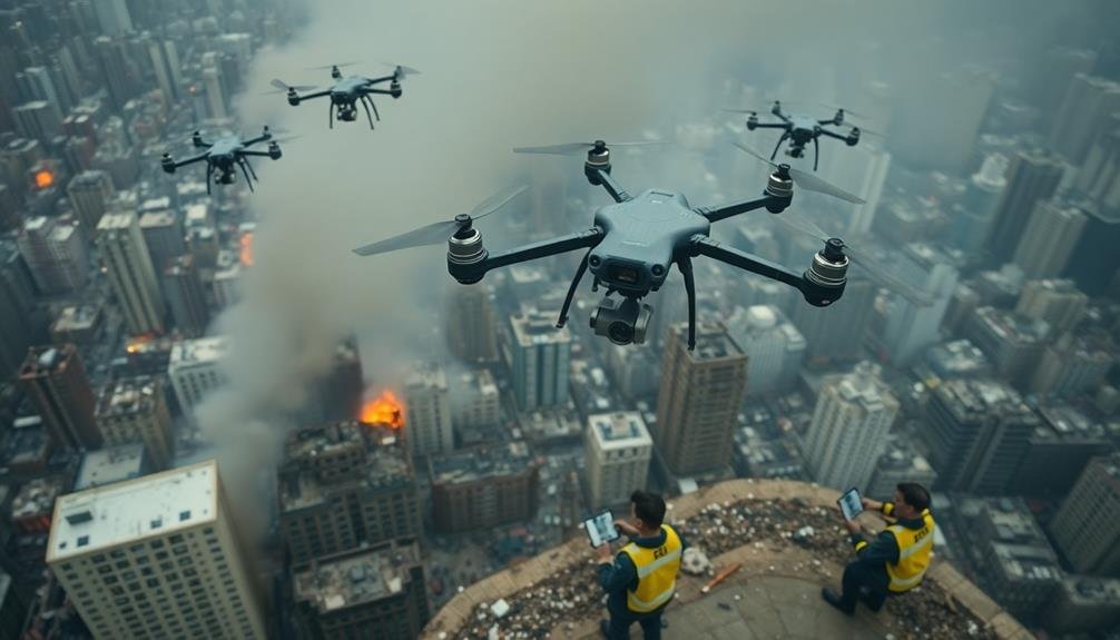
3 Unmanned Aircraft Tips for Effective Disaster Response
Implement these crucial unmanned aircraft strategies for disaster response and revolutionize your emergency management approach. But what’s the key to maximizing their impact?
-
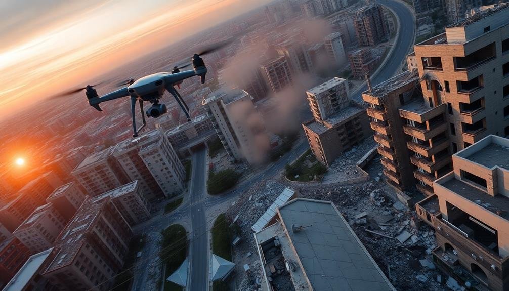
Rapid Earthquake Impact Evaluation: UAV Inspection Techniques
Aerial drones revolutionize earthquake impact assessment, but how do they process vast data for swift decision-making?
-
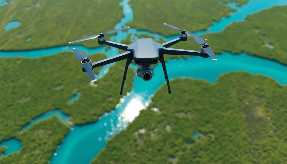
Precision Flood Mapping: Guide to UAV-Powered Surveys
Want to master precision flood mapping with drones? This guide reveals essential UAV techniques, but there’s a crucial step most surveyors overlook.
-
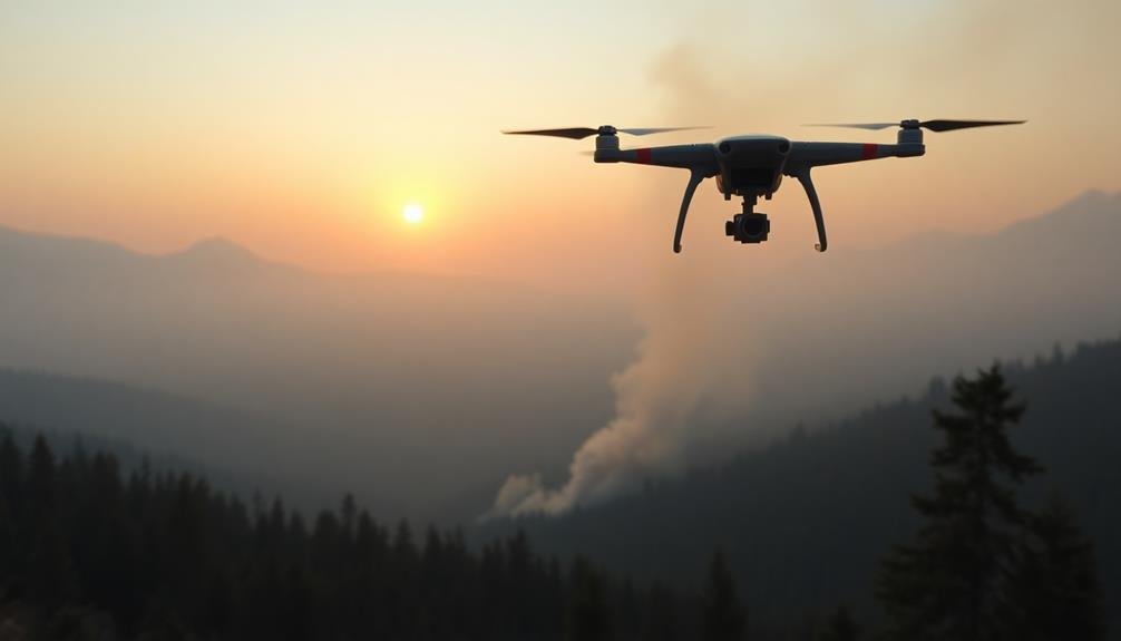
3 Best UAV Techniques for Wildfire Detection & Tracking
Discover cutting-edge UAV techniques revolutionizing wildfire detection and tracking, empowering firefighters to combat blazes with unprecedented precision and speed. But which method reigns supreme?
-
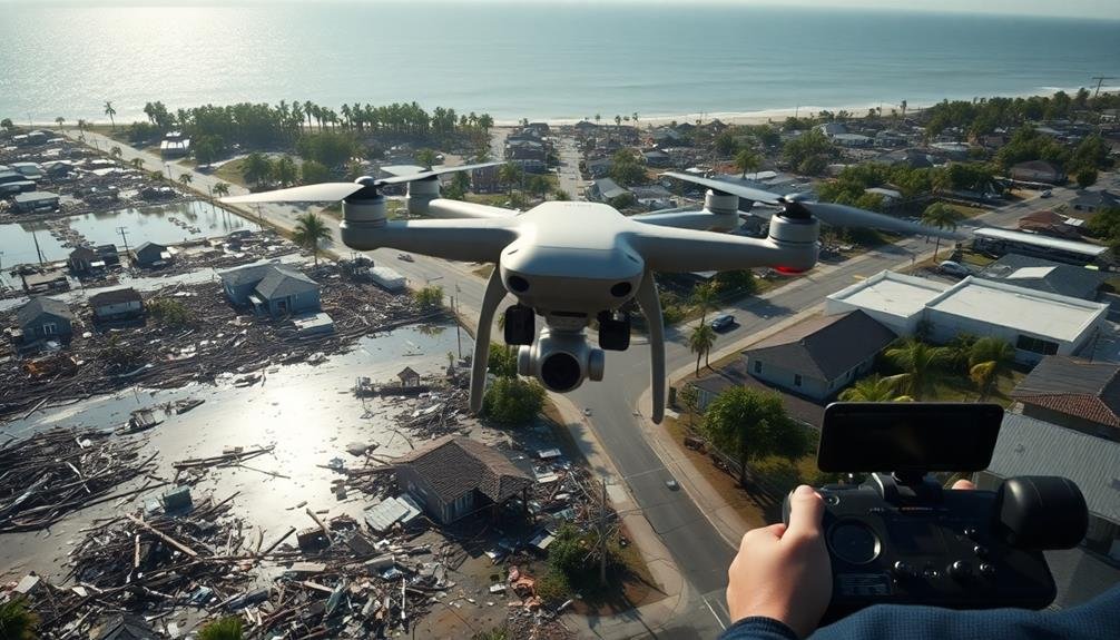
5 Tips: Swift Hurricane Damage Surveys With UAVS
Brace for rapid hurricane damage assessments with these 5 UAV survey tips. Discover how to optimize your drone missions and…
-

5 Thermal Imaging Tactics for Swift Disaster Response
Master five thermal imaging tactics that revolutionize disaster response, from locating survivors to mapping wildfires. Discover how these techniques can…
-
How to Conduct UAV Search and Rescue Missions
Discover the essential steps for successful UAV search and rescue missions, from equipment selection to post-mission analysis. Learn how to…