Author: learning drone photography
-

What Are Safe Confined Space Surveys Using UAVs?
Learn how UAVs revolutionize confined space surveys, enhancing safety and efficiency for industrial inspections. Discover the game-changing benefits and challenges of this innovative approach.
-
5 Steps to Map Industrial Sites With Drones
How can drones revolutionize industrial site mapping? Discover five essential steps that unlock hidden potential and streamline operations.
-

What Is Robotic Structural Integrity Evaluation?
You might think structures are safe, but robotic evaluation reveals hidden dangers lurking beneath the surface. What secrets could these machines uncover?
-
7 Industrial Drone Thermal Imaging Tips for Equipment Inspections
Powerful thermal imaging tips for industrial drone inspections can revolutionize your maintenance strategy, but which crucial factor often goes overlooked?
-
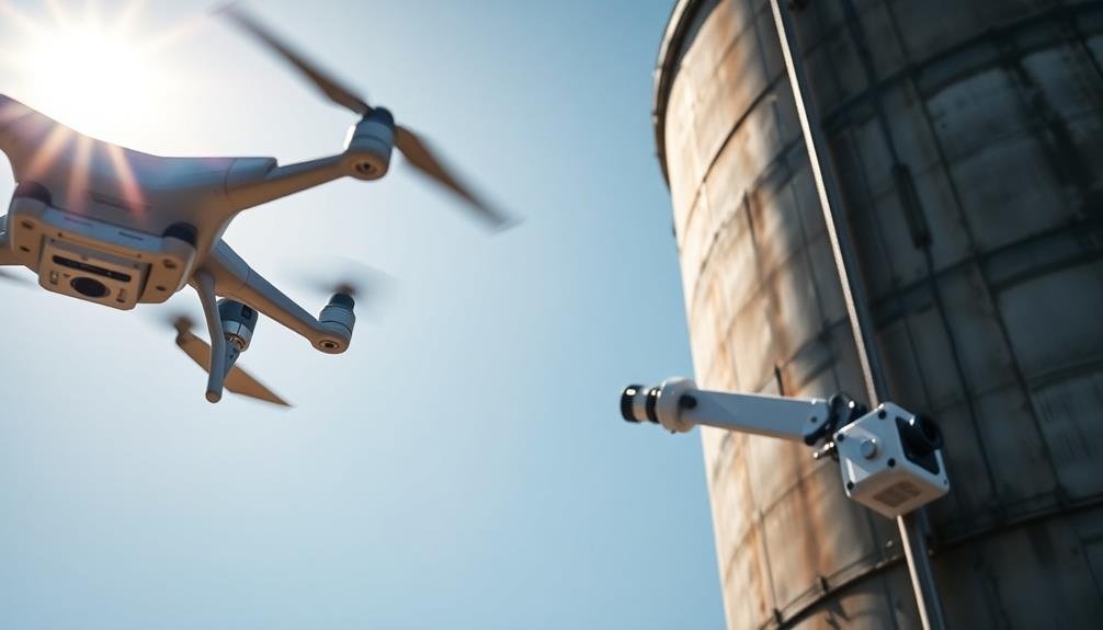
10 Innovative Methods for Water Tower Inspection Technology
Groundbreaking water tower inspection tech revolutionizes safety and efficiency, but which method will truly transform your maintenance approach?
-

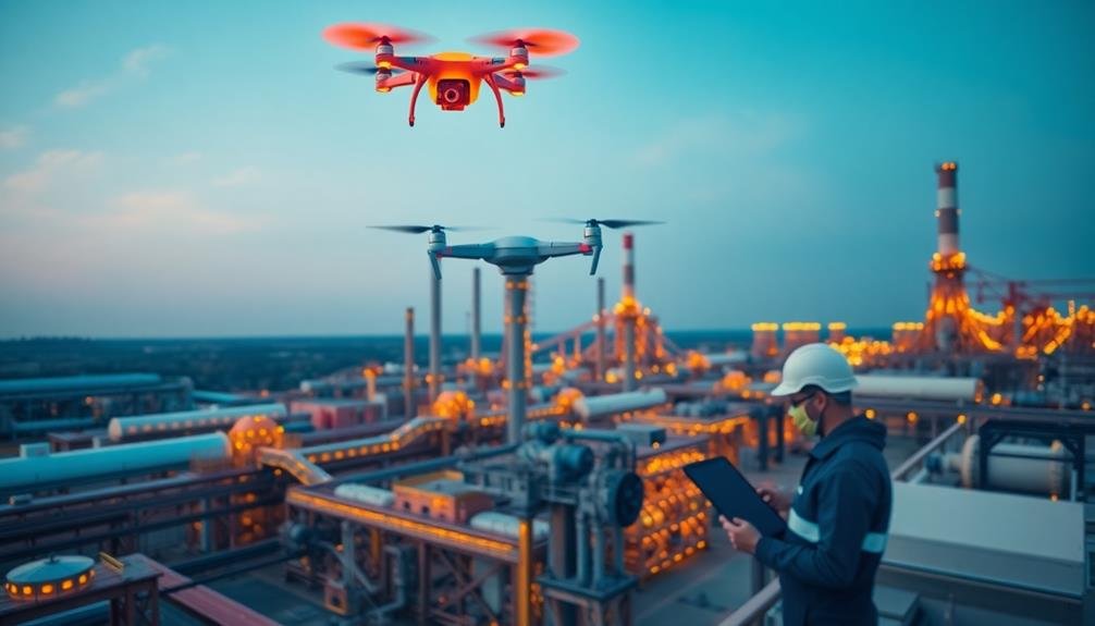
5 Tips for Safe Drone Inspections in Hazardous Areas
You’ll uncover crucial safety strategies for hazardous drone inspections, but the fifth tip might surprise you.
-
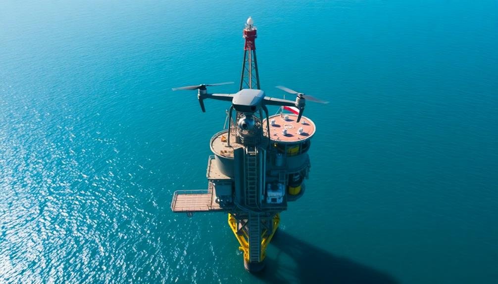
How to Conduct Offshore Platform Surveys With UAVS
You’ve mastered drone tech, but offshore platform surveys pose unique challenges. Learn the essential steps to conduct
-

How to Conduct Industrial Roof Inspections With Drones
Uncover the secrets of efficient industrial roof inspections using drones, from preparation to execution. Learn the essential steps and best practices for…
-
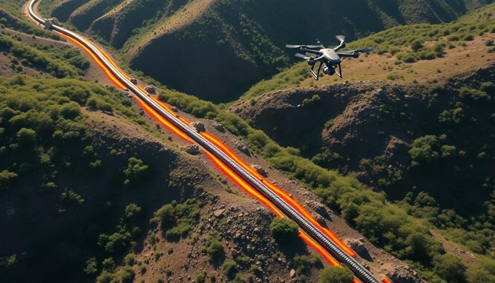
Detect Pipeline Leaks: Essential Guide to UAV Inspections
Modernize pipeline leak detection with UAV inspections: discover efficient, cost-effective methods using drones and high-tech sensors. But how…?
-
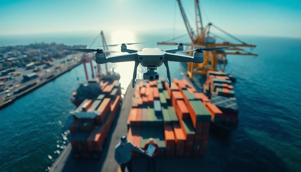
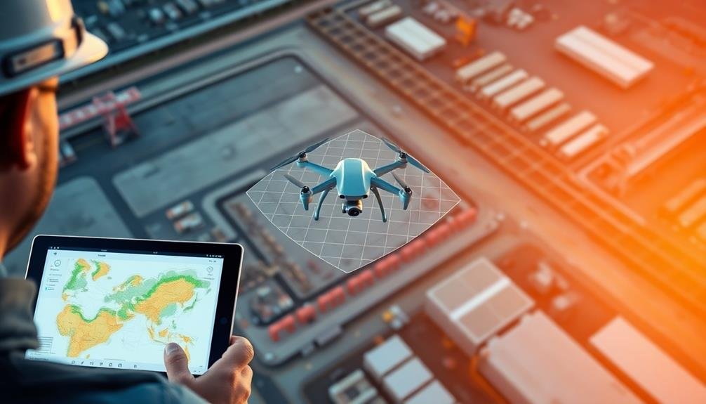
3 Benefits of Drone Inspections for Port Facilities
Streamline port operations with drone inspections: safety, savings, and superior data. But what unexpected advantages await?