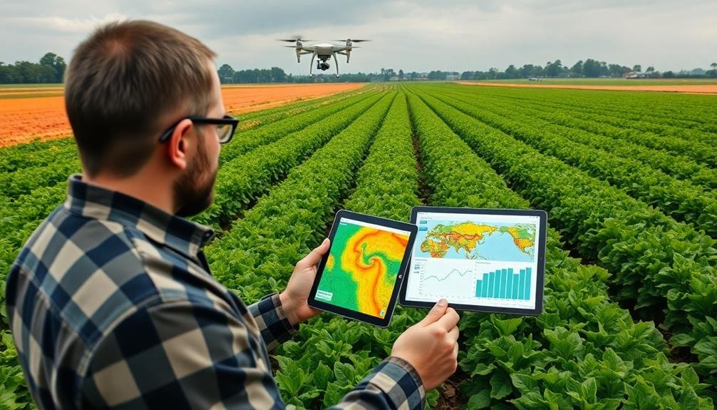
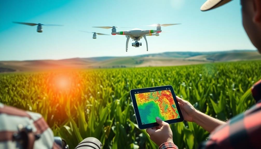
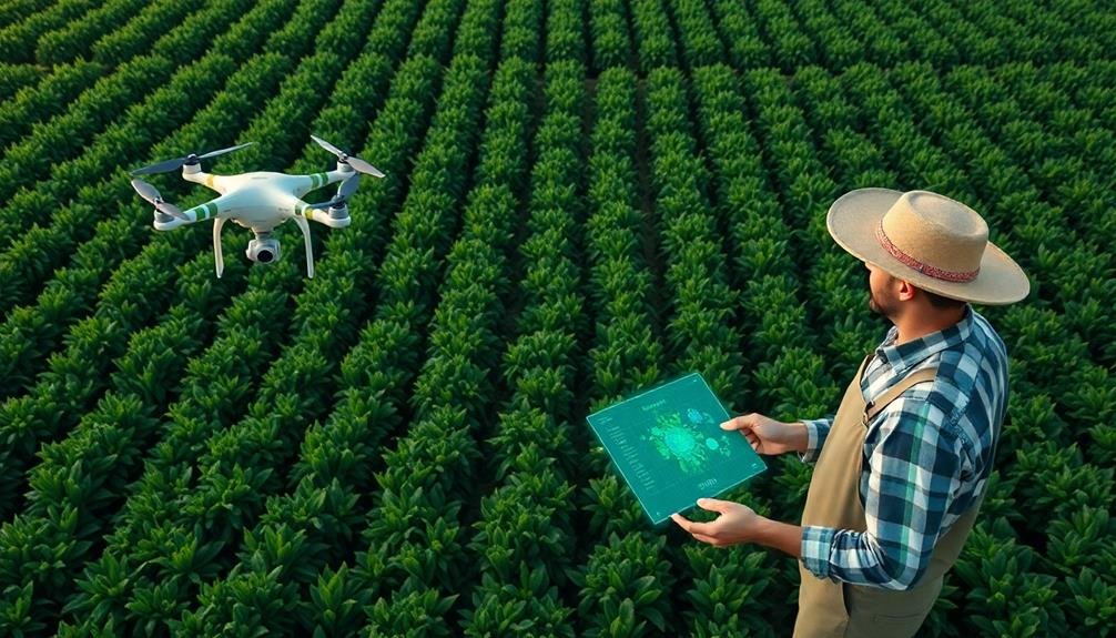
Seven top automated crop monitoring services for precision agriculture include DroneDeploy, Sentera FieldAgent, Pix4D Fields, Agremo, Taranis, Aerobotics, and PrecisionHawk. These services leverage drone technology, AI-powered analytics, and real-time monitoring to provide farmers with valuable insights. You'll benefit from high-resolution imagery, crop health analysis, and data-driven decision support. Features like weed detection, yield estimation, and stress identification help optimize resource allocation and boost productivity. With user-friendly interfaces and mobile access, you can easily manage your fields and collaborate with your team. Exploring these services further will reveal how they can transform your farming operations.
DroneDeploy

With DroneDeploy, farmers can revolutionize their crop monitoring practices. This cloud-based software platform allows you to capture, process, and analyze aerial imagery using drones. You'll gain valuable insights into crop health, pest infestations, and soil conditions, enabling data-driven decision-making for your farm.
DroneDeploy's user-friendly interface lets you plan and execute automated drone flights over your fields. The software generates high-resolution maps and 3D models, providing a thorough view of your crops. You can easily identify problem areas, measure plant height, and calculate crop yields with precision.
The platform's AI-powered analysis tools help you detect crop stress, diseases, and nutrient deficiencies early on. You'll receive actionable reports and recommendations, allowing you to address issues promptly and optimize resource allocation.
DroneDeploy also integrates with other farm management systems, streamlining your workflow and enhancing overall efficiency.
With its mobile app, you can access real-time data in the field, making on-the-spot decisions. The software's collaboration features enable you to share maps and insights with your team or agronomists, fostering better communication and coordination.
DroneDeploy's automated crop monitoring capabilities empower you to maximize yields, reduce costs, and improve sustainability in your farming operations.
Sentera FieldAgent
Sentera FieldAgent offers you real-time crop health monitoring through its advanced drone integration capabilities.
You'll gain access to extensive data-driven decision support, helping you make informed choices about your agricultural operations.
With FieldAgent, you can efficiently collect, analyze, and act on critical crop data, streamlining your farm management processes.
Real-Time Crop Health Monitoring
One of the most advanced tools in real-time crop health monitoring is Sentera's FieldAgent platform. This powerful system integrates seamlessly with drones and sensors to provide you with up-to-the-minute data on your crops' health and performance.
You'll receive detailed insights into plant stress, nutrient deficiencies, pest infestations, and overall crop vigor.
FieldAgent's real-time monitoring capabilities offer several key benefits:
- Rapid response to issues: You can quickly identify and address problems before they escalate.
- Optimized resource allocation: Target your efforts and resources where they're needed most.
- Data-driven decision making: Base your farming decisions on accurate, timely information.
- Increased yield potential: Maximize your crop's performance through proactive management.
The platform's user-friendly interface allows you to easily interpret complex data through intuitive visualizations and customizable reports.
You can access this information on any device, enabling you to make informed decisions whether you're in the field or at your desk.
With FieldAgent's real-time crop health monitoring, you'll have the tools to optimize your farming operations, reduce costs, and improve overall crop quality and yield.
Drone Integration Capabilities
Today, FieldAgent's drone integration capabilities stand at the forefront of agricultural technology. You'll find that this platform seamlessly incorporates drone data into your crop monitoring strategy, offering unparalleled insights into field conditions.
With FieldAgent, you can easily plan and execute drone flights over your fields. The system supports various drone models and sensors, allowing you to capture high-resolution imagery and multispectral data. Once collected, this data is automatically processed and analyzed, providing you with actionable information about crop health, pest infestations, and nutrient deficiencies.
You'll appreciate the user-friendly interface that lets you view and interpret drone-captured data alongside other field information. The platform's advanced algorithms generate detailed maps and reports, highlighting areas of concern and potential yield-limiting factors. This integration enables you to make data-driven decisions about irrigation, fertilization, and pest management with greater precision.
FieldAgent's drone capabilities also include features like stand count analysis, weed detection, and yield estimation. By leveraging these tools, you can optimize your resource allocation and improve overall farm productivity.
The system's cloud-based infrastructure guarantees that you can access your drone data anytime, anywhere, facilitating collaboration with agronomists and other team members.
Data-Driven Decision Support
Building on the robust drone integration capabilities, FieldAgent's data-driven decision support takes crop monitoring to the next level. This advanced feature empowers you to make informed decisions based on real-time data and analytics. By leveraging machine learning algorithms and agronomic models, FieldAgent provides you with actionable insights that can greatly improve your crop management strategies.
With FieldAgent's data-driven decision support, you'll benefit from:
- Customized recommendations for irrigation, fertilization, and pest control based on your specific field conditions
- Early detection of crop stress and disease, allowing for timely interventions
- Yield predictions and harvest optimization suggestions to maximize your profits
- Historical data analysis to identify trends and optimize long-term planning
You'll have access to intuitive dashboards and reports that present complex data in easily digestible formats. This enables you to quickly identify areas of concern and prioritize your resources effectively.
Pix4D Fields
Pix4D Fields offers you a powerful tool for accurate crop health analysis.
You'll benefit from its drone-based data collection capabilities, which provide detailed insights into your fields.
The user-friendly mobile application allows you to easily access and interpret the gathered information, helping you make informed decisions about your crops.
Accurate Crop Health Analysis
Precision agriculture takes a leap forward with Pix4D Fields' accurate crop health analysis. You'll gain valuable insights into your fields' health status, allowing you to make informed decisions and optimize your farming practices. This innovative tool uses advanced imaging technology and data analysis to provide you with detailed information about your crops' well-being.
With Pix4D Fields, you can:
- Detect early signs of crop stress, diseases, or pest infestations
- Identify areas of nutrient deficiencies or water stress
- Monitor crop growth and development throughout the season
- Generate precise prescription maps for variable rate applications
The software processes high-resolution drone imagery and combines it with other data sources to create thorough crop health maps.
You'll be able to spot issues before they become visible to the naked eye, giving you a vital advantage in addressing problems promptly. By analyzing these detailed maps, you can pinpoint specific areas that require attention, reducing the need for blanket treatments and minimizing resource waste.
This targeted approach not only improves your crop yields but also enhances your farm's overall efficiency and sustainability.
Drone-Based Data Collection
At the heart of Pix4D Fields' powerful crop analysis lies its advanced drone-based data collection system. This innovative approach allows you to gather high-resolution imagery and data from your fields quickly and efficiently.
You'll be able to capture detailed information about crop health, growth patterns, and potential issues across large areas in a fraction of the time it would take using traditional methods.
With Pix4D Fields, you can easily plan and execute drone flights to collect multispectral imagery, thermal data, and RGB photos. The software guides you through the process, ensuring ideal flight paths and image overlap for thorough coverage.
You'll appreciate the user-friendly interface that lets you set up missions with just a few clicks.
Once your drone has completed its flight, Pix4D Fields automatically processes the collected data. It stitches together individual images to create detailed orthomosaic maps and 3D models of your fields.
These high-quality outputs serve as the foundation for in-depth analysis, allowing you to identify problem areas, track crop progress, and make informed decisions about irrigation, fertilization, and pest management.
User-Friendly Mobile Application
How does Pix4D Fields make crop monitoring accessible on the go? This user-friendly mobile application brings precision agriculture to your fingertips, allowing you to manage your fields efficiently from anywhere. You'll have access to real-time data and insights, enabling quick decision-making and timely interventions.
Pix4D Fields offers a seamless experience with its intuitive interface and powerful features. You can easily:
- Upload and process drone imagery
- Generate detailed field maps and reports
- Analyze crop health and identify problem areas
- Share data with team members and stakeholders
The app's offline functionality guarantees you can work even in areas with poor connectivity. You'll appreciate how it simplifies complex data into easily digestible visuals, helping you spot trends and anomalies at a glance.
With customizable alerts, you'll stay informed about critical changes in your fields. Pix4D Fields integrates smoothly with other farm management tools, creating a thorough ecosystem for your agricultural operations.
You'll find that the app's user-centric design reduces the learning curve, allowing you to focus on optimizing your crop yields rather than grappling with complicated software.
Agremo
Agremo stands out as a leading provider of AI-powered crop analysis solutions. This platform offers you thorough field monitoring and crop health assessment through advanced image processing technology. You'll appreciate Agremo's ability to analyze various types of imagery, including satellite, drone, and smartphone captures.
With Agremo, you can access detailed reports on plant populations, crop stress, weed pressure, and yield estimates. The platform's AI algorithms process your field data quickly, providing actionable insights to optimize your farming practices. You'll find it easy to integrate Agremo with your existing farm management software, streamlining your precision agriculture workflow.
| Feature | Benefit |
|---|---|
| Multi-source imagery | Flexibility in data collection |
| AI-powered analysis | Accurate and timely insights |
| Customizable reports | Tailored to your specific needs |
| Integration capabilities | Seamless workflow management |
Agremo's user-friendly interface allows you to navigate through your field data effortlessly. You can create treatment zones, track crop progress over time, and share reports with your team or advisors. By leveraging Agremo's advanced analytics, you'll make more informed decisions, reduce input costs, and ultimately improve your crop yields.
Taranis
Revolutionizing precision agriculture, Taranis offers high-resolution aerial imagery and AI-driven insights for crop monitoring. You'll benefit from their advanced technology that combines drone and satellite imagery with machine learning algorithms to detect and analyze field issues early on.
Taranis' platform provides you with:
- Sub-millimeter image resolution, capturing details as small as 0.5mm per pixel
- Automatic detection of weeds, pests, diseases, and nutrient deficiencies
- Customized treatment recommendations based on field-specific data
- Real-time alerts and reports accessible via mobile app or web interface
You can make informed decisions quickly, optimizing your crop management strategies and increasing yields. Taranis' AI-powered system identifies potential threats before they become visible to the naked eye, allowing you to take preventive action.
The platform also offers historical data analysis, helping you track field performance over time and plan for future seasons.
With Taranis, you'll reduce input costs, minimize crop losses, and improve overall farm efficiency. Their user-friendly interface makes it easy to interpret complex data and implement targeted interventions, ensuring you stay ahead in the competitive agricultural landscape.
Aerobotics
In line with the growing trend of precision agriculture, Aerobotics offers a thorough crop monitoring solution that combines aerial imagery with artificial intelligence. You'll find their platform particularly useful for tree and vine crops, as it specializes in detecting issues like pests, diseases, and nutrient deficiencies.
Aerobotics uses drones and satellite imagery to capture high-resolution images of your fields. Their AI algorithms then process these images to provide you with actionable insights. You'll receive detailed reports on crop health, growth patterns, and potential problem areas.
Here's a quick overview of Aerobotics' key features:
| Feature | Description | Benefit |
|---|---|---|
| Tree Counting | Accurate inventory of trees/vines | Improved yield estimation |
| Health Tracking | Monitors crop health over time | Early issue detection |
| Scouting App | Guides field inspections | Efficient problem solving |
You'll appreciate the user-friendly interface that allows you to easily navigate through your farm's data. With Aerobotics, you're not just getting raw data; you're receiving tailored recommendations to optimize your farming practices and boost your yields.
PrecisionHawk
Another major player in the automated crop monitoring field, PrecisionHawk offers a complete suite of drone-based solutions for agriculture. Their platform combines advanced drone technology, sensors, and data analytics to provide farmers with actionable insights for improving crop yields and reducing operational costs.
PrecisionHawk's services include:
- Aerial data collection using fixed-wing and multi-rotor drones
- Customizable flight planning and automated missions
- Advanced image processing and analysis
- Integration with farm management software
You'll benefit from PrecisionHawk's ability to capture high-resolution imagery and generate detailed crop health maps. These maps highlight areas of stress, disease, or nutrient deficiency, allowing you to target interventions precisely.
The platform also offers plant counting and stand assessment tools, helping you optimize planting strategies and forecast yields accurately.
PrecisionHawk's analytics engine processes collected data to deliver insights on crop performance, pest infestations, and irrigation needs. You can easily share these reports with your team or consultants for collaborative decision-making.
With their user-friendly interface and mobile app support, you'll have access to critical information wherever you are, enabling timely responses to emerging issues in your fields.
Frequently Asked Questions
How Do Automated Crop Monitoring Services Integrate With Existing Farm Management Software?
You'll find that automated crop monitoring services often integrate seamlessly with your existing farm management software through APIs. They'll sync data, allowing you to view and analyze crop information alongside other farm operations in one platform.
What Are the Initial Setup Costs for Implementing These Technologies?
You'll find initial setup costs vary widely. They can range from a few hundred dollars for basic sensors to tens of thousands for extensive systems. You'll need to factor in hardware, software, and potential consulting fees.
Can These Services Detect and Identify Specific Crop Diseases or Pests?
Yes, many crop monitoring services can detect and identify specific diseases and pests. They'll use AI and image analysis to spot abnormalities in your crops. You'll receive alerts and recommendations for targeted treatment when issues are found.
How Frequently Are Satellite or Drone Images Updated in These Monitoring Systems?
You'll find update frequencies vary widely. Some services offer daily satellite imagery, while others update weekly or monthly. Drone images can be as frequent as you need, but typically range from daily to weekly updates.
Are There Any Legal Restrictions on Using Drones for Agricultural Monitoring?
You'll face legal restrictions when using drones for agricultural monitoring. You must follow FAA regulations, including registering your drone, flying below 400 feet, and maintaining visual line of sight. Local laws may also apply, so check before flying.
In Summary
You've now explored seven top automated crop monitoring services for precision agriculture. Each offers unique features to enhance your farming operations. Whether you're looking for drone-based solutions, AI-powered analytics, or extensive field management tools, there's an option to suit your needs. By adopting these technologies, you'll boost crop yields, reduce resource waste, and make more informed decisions. Embrace the future of farming and take your agricultural practices to the next level with these innovative solutions.
As educators and advocates for responsible drone use, we’re committed to sharing our knowledge and expertise with aspiring aerial photographers.


Leave a Reply