
Robotic surveys for construction site monitoring use advanced technology to automate data collection and analysis. You'll find these systems combining robotics with precision surveying equipment, including robotic total stations and drones. They offer real-time data collection, early issue detection, and unparalleled accuracy in measurements. By continuously operating in challenging environments, they enhance project efficiency and safety. Robotic surveys can access hazardous areas, minimizing human risk while maximizing productivity. From fixed-wing drones for large-scale mapping to LiDAR-equipped units for detailed 3D modeling, these systems revolutionize site monitoring. Discover how implementing robotic surveys can transform your construction project management and decision-making processes.
Robotic Survey Technology Explained
Robotic survey technology revolutionizes construction monitoring by combining advanced robotics with precision surveying equipment. These systems typically consist of a robotic total station, which integrates an electronic theodolite with an electronic distance meter. The robotic aspect allows the device to automatically aim, track, and measure targets without manual intervention.
You'll find that these robotic systems can perform tasks like measuring angles, distances, and coordinates with exceptional accuracy. They're equipped with servo motors for precise movement and often feature advanced software for data processing and analysis.
Many models incorporate GPS technology for enhanced positioning capabilities. The robotic total station can be controlled remotely, allowing a single operator to manage the entire survey process.
It's designed to work efficiently in various weather conditions and can operate continuously for extended periods. The technology also includes features like automatic target recognition, which helps identify and lock onto prisms or other reflective targets.
Benefits of Automated Site Monitoring
This advanced technology brings numerous advantages to construction sites. You'll find that robotic surveys considerably enhance project efficiency and accuracy. They provide real-time data collection, allowing for immediate decision-making and problem-solving.
With automated monitoring, you can detect potential issues early, reducing costly delays and rework. Robotic surveys offer unparalleled precision in measurements, often surpassing human capabilities. This level of accuracy guarantees that your project stays on track and meets strict quality standards.
Furthermore, these systems can work continuously, even in challenging environments or during off-hours, maximizing productivity.
Here are four key benefits of automated site monitoring:
- Increased safety: Robots can access hazardous areas, minimizing human risk
- Cost reduction: Fewer labor hours and increased efficiency lead to considerable savings
- Improved documentation: Detailed, consistent reports for better project management
- Enhanced collaboration: Real-time data sharing among stakeholders streamlines communication
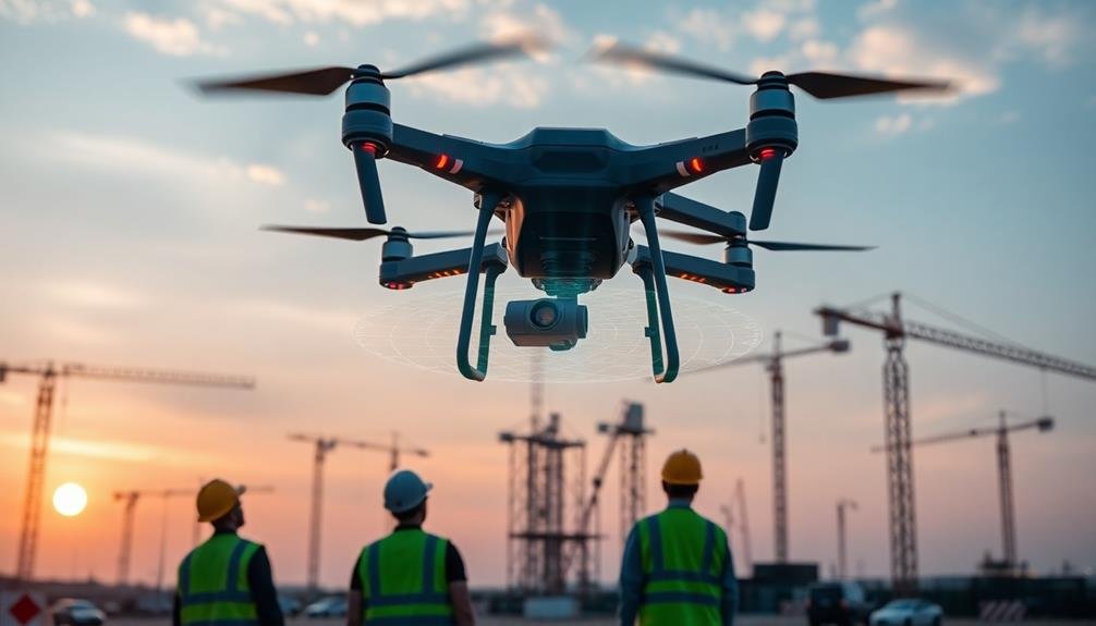
Drone Types for Construction Surveys
Construction surveys employ several drone types, each designed for specific tasks and environments.
You'll find fixed-wing drones excelling in large-scale site mapping and topographical surveys. These aircraft-like drones cover vast areas efficiently, making them ideal for initial site assessments and progress monitoring on expansive projects.
For more detailed inspections and confined spaces, you'll want to use multirotor drones. These versatile UAVs hover and maneuver with precision, allowing you to capture high-resolution images of building facades, structural elements, and hard-to-reach areas.
They're particularly useful for safety inspections and quality control checks.
You might also encounter VTOL (Vertical Takeoff and Landing) drones, which combine the benefits of fixed-wing and multirotor designs. These hybrids offer extended flight times and the ability to take off and land in tight spaces, making them suitable for diverse construction environments.
For specialized tasks, you'll find thermal imaging drones that detect heat signatures, helping you identify energy inefficiencies or potential electrical issues.
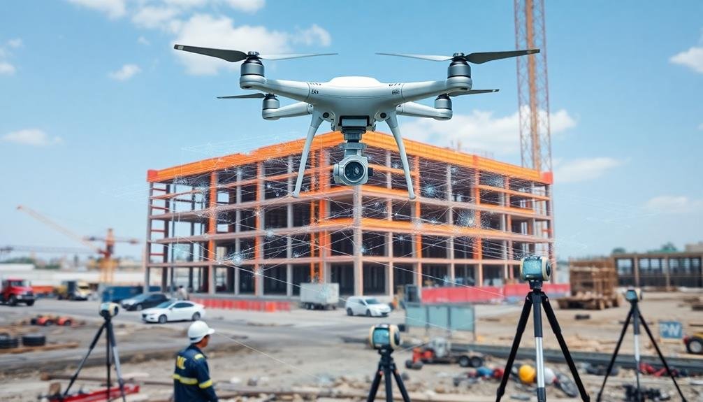
LiDAR-equipped drones provide accurate 3D mapping capabilities, essential for creating detailed site models and measuring volumetric changes in earthworks projects.
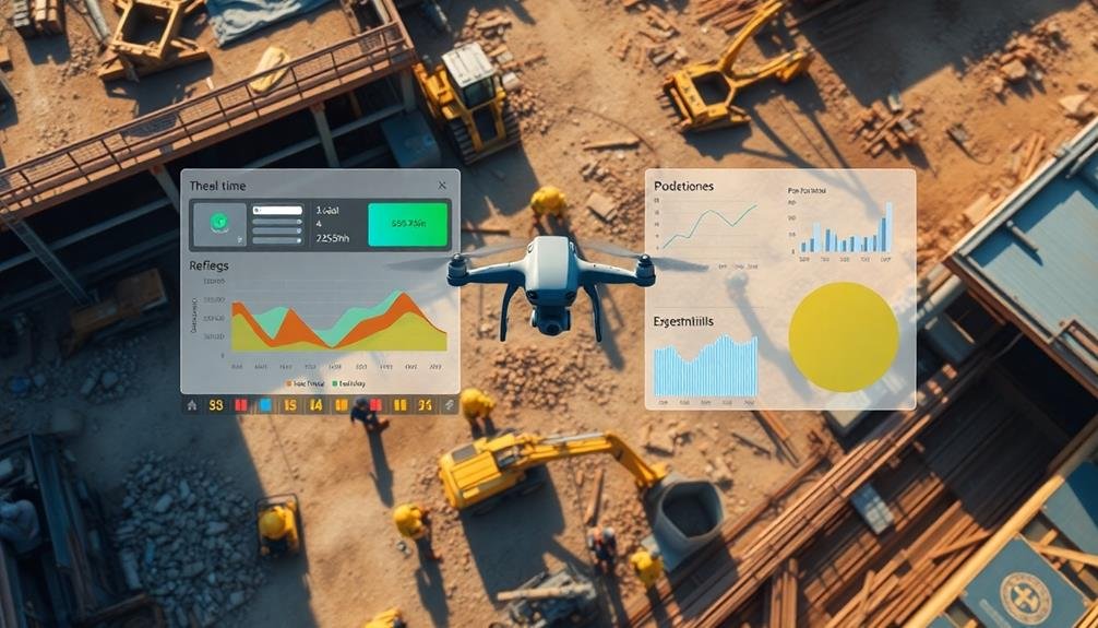
Data Collection and Analysis Process
A symphony of sensors and software orchestrates the data collection and analysis process in robotic construction surveys. You'll find that these advanced systems gather vast amounts of data quickly and efficiently, processing it in real-time to provide actionable insights.
The process typically involves four key steps:
- Data acquisition: Robots use various sensors, including LiDAR, cameras, and GPS, to capture detailed information about the construction site's topography, structures, and progress.
- Data processing: Powerful onboard computers or cloud-based systems process the raw data, applying algorithms to clean, filter, and organize the information.
- Analysis and interpretation: AI and machine learning techniques analyze the processed data, identifying patterns, discrepancies, and potential issues.
- Reporting and visualization: The system generates thorough reports and 3D models, allowing you to visualize the site's current state and compare it to the planned design.
You'll appreciate how this streamlined process enhances decision-making, improves project management, and guarantees construction quality.
With robotic surveys, you're not just collecting data; you're gaining a powerful tool for optimizing your construction projects and staying ahead of potential problems.
Implementing Robotic Surveys on Projects

Implementing robotic surveys on construction projects involves three vital steps. First, you'll need to select the appropriate robotic surveying equipment for your project's specific requirements. This includes choosing between terrestrial laser scanners, drones, or robotic total stations based on factors like site size, terrain, and data accuracy needs.
Second, you'll create a thorough survey plan that outlines the frequency of scans, data collection points, and integration with project schedules. Finally, you'll train your team on operating the equipment and interpreting the data.
Here's a quick comparison of common robotic surveying methods:
| Method | Accuracy | Range | Best for |
|---|---|---|---|
| Laser Scanners | High | Short | Detailed indoor scans |
| Drones | Medium | Wide | Large outdoor areas |
| Total Stations | Very High | Medium | Precise measurements |
When implementing robotic surveys, you'll need to evaluate factors such as data storage, processing power, and software integration. It's essential to establish clear workflows for data collection, analysis, and reporting to guarantee that the information gathered is effectively used to inform project decisions and track progress.
Frequently Asked Questions
How Much Does a Robotic Survey System for Construction Sites Typically Cost?
You'll find robotic survey systems for construction sites typically cost between $20,000 to $100,000. Prices vary based on features, accuracy, and brand. You're investing in advanced technology that'll streamline your site monitoring and data collection processes.
What Certifications or Training Are Required to Operate Robotic Survey Equipment?
You'll typically need surveying certification and specialized training on robotic equipment. Manufacturers often provide courses. Some states require a professional land surveyor license. Stay updated on software and safety protocols. Hands-on experience is essential.
Can Robotic Surveys Be Conducted at Night or in Low-Light Conditions?
Yes, you can conduct robotic surveys at night or in low-light conditions. They're equipped with their own lighting systems and sensors that don't rely on ambient light. You'll get accurate data regardless of the time or lighting situation.
How Do Weather Conditions Affect the Accuracy of Robotic Survey Data?
Weather can greatly impact your robotic survey data's accuracy. Rain, snow, and fog can obstruct sensors and cameras. Strong winds might disrupt drone flights. Extreme temperatures can affect equipment performance. You'll need to take into account these factors when planning surveys.
Are There Any Legal Restrictions on Using Robotic Surveys in Certain Areas?
You'll find legal restrictions on robotic surveys vary by location. They often relate to privacy concerns, airspace regulations, and property rights. Check local laws and obtain necessary permits before conducting surveys in restricted areas.
In Summary
You've now explored the world of robotic surveys for construction site monitoring. From understanding the technology to seeing its benefits and implementation, you're equipped to leverage this innovative approach. Whether you choose drones or ground-based robots, you'll enhance your project's efficiency and accuracy. As you move forward, consider how robotic surveys can transform your construction processes, saving time and resources while improving safety and data quality.
As educators and advocates for responsible drone use, we’re committed to sharing our knowledge and expertise with aspiring aerial photographers.


Leave a Reply