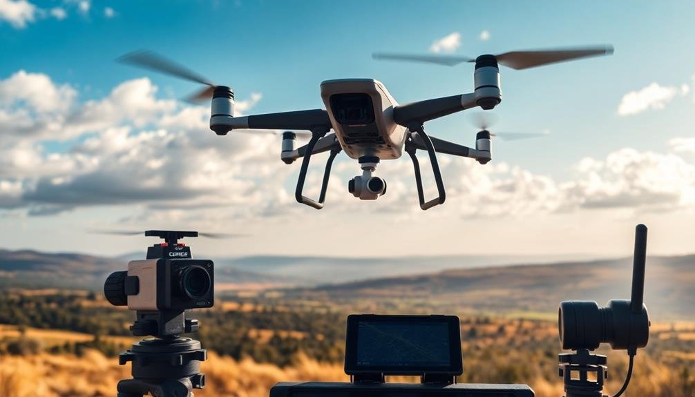
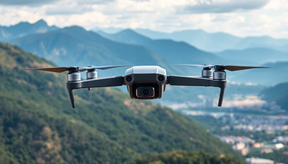
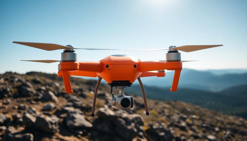
For precise aerial surveys, you'll want to take into account these top-performing drones: DJI Phantom 4 RTK, Wingtra One Fixed-Wing, Sensefly eBee X, DJI Matrice 300 RTK, Autel EVO II Pro RTK, Parrot Anafi USA, and Yuneec H520E RTK. Each offers centimeter-level accuracy with RTK or PPK positioning, high-resolution cameras, and extended flight times for efficient mapping. You'll find features like VTOL capabilities, obstacle avoidance systems, and versatile payload options. These drones excel in various environments and can cover large areas quickly. Whether you need 3D mapping or volumetric measurements, these flyers deliver the precision and reliability your projects demand. Exploring their unique capabilities will help you choose the perfect aerial survey companion.
Key Takeaways
- DJI Phantom 4 RTK offers centimeter-level accuracy with a 20MP camera and 30-minute flight time for detailed surveys.
- Wingtra One fixed-wing drone covers 400 hectares per flight with VTOL capability and high-resolution imaging.
- Sensefly eBee X provides 90-minute flight time, covering 500 hectares with RTK/PPK for centimeter-level accuracy.
- DJI Matrice 300 RTK features 55-minute flight time, 9kg payload capacity, and advanced RTK positioning for large-scale surveys.
- Autel EVO II Pro RTK combines 6K imaging with RTK positioning for precise, high-detail aerial mapping.
DJI Phantom 4 RTK
One of the most reliable drones for aerial surveys, the DJI Phantom 4 RTK offers unparalleled precision and efficiency. This advanced drone combines a high-resolution camera with Real-Time Kinematic (RTK) positioning technology, allowing you to capture highly accurate data for your mapping projects.
The Phantom 4 RTK's 20-megapixel camera with a 1-inch CMOS sensor guarantees you'll get crisp, detailed images even in challenging lighting conditions. Its mechanical shutter eliminates rolling shutter distortion, producing consistently clear results.
You'll appreciate the drone's RTK module, which provides centimeter-level positioning accuracy, reducing ground control points and saving you time in the field.
With a flight time of up to 30 minutes, you can cover large areas in a single mission. The drone's OcuSync transmission system offers a stable, long-range connection, allowing you to maintain control at distances up to 7 km.
You'll find the intuitive GS RTK app helpful for flight planning and data collection. The Phantom 4 RTK's robust build quality and intelligent obstacle avoidance system guarantee reliability and safety during your aerial surveys.
Wingtra One Fixed-Wing Drone
A game-changer in aerial surveying, the Wingtra One Fixed-Wing Drone offers a unique blend of VTOL (Vertical Take-Off and Landing) capability and fixed-wing efficiency.
You'll appreciate its ability to take off and land vertically like a multirotor, eliminating the need for runways or launchers. Once airborne, it shifts to fixed-wing flight, allowing for extended coverage of up to 400 hectares in a single flight.
The Wingtra One's PPK (Post-Processed Kinematics) system guarantees centimeter-level accuracy without ground control points. It's equipped with a choice of high-end cameras, including the 42MP Sony RX1R II, delivering exceptional image quality for your surveys.
You'll find its flight planning software user-friendly, enabling automated missions with minimal input. With a flight time of up to 59 minutes, you'll cover more ground efficiently.
The drone's robust design withstands winds up to 45 km/h, assuring reliable performance in various conditions. Its seamless workflow integration with popular photogrammetry software streamlines your data processing.
Whether you're mapping large areas, conducting corridor surveys, or performing volumetric calculations, the Wingtra One's versatility and precision make it an excellent choice for professional aerial surveying.
Sensefly Ebee X

SenseFly's eBee X fixed-wing drone stands out as a versatile powerhouse in the aerial survey market. It's designed for efficiency, capable of covering up to 500 hectares in a single flight.
You'll appreciate its endurance, with flight times reaching up to 90 minutes. The eBee X offers flexibility with its hot-swap payload system, allowing you to change sensors quickly between flights.
You can equip the eBee X with various cameras, including the S.O.D.A. 3D mapping camera, which captures high-resolution RGB imagery. For specialized surveys, you've got options like the Aeria X photogrammetry camera or the thermoMAP for thermal mapping.
The drone's RTK/PPK capabilities guarantee centimeter-level accuracy without ground control points.
The eBee X's lightweight design (1.4 kg) makes it easy to transport and deploy. It features an intuitive eMotion flight planning software, simplifying mission setup and execution.
You'll find the drone's autonomous take-off and landing particularly useful in challenging terrain. With its IP53 rating, the eBee X can operate in light rain and dusty conditions, enhancing its versatility for various survey projects.
DJI Matrice 300 RTK
DJI's Matrice 300 RTK drone redefines industrial aerial surveys with its rugged design and advanced capabilities. You'll appreciate its 55-minute flight time, allowing for extensive coverage in a single mission. The drone's IP45 rating guarantees it can operate in challenging weather conditions, making it reliable for year-round surveys.
The Matrice 300 RTK boasts a payload capacity of up to 9 kg, accommodating various sensors and cameras. Its modular design allows you to customize the setup for specific survey requirements. The drone's advanced RTK positioning system provides centimeter-level accuracy, vital for precise mapping and 3D modeling.
| Feature | Benefit |
|---|---|
| 55-minute flight time | Extended survey coverage |
| IP45 rating | All-weather operation |
| 9 kg payload capacity | Versatile sensor options |
| RTK positioning | Centimeter-level accuracy |
You'll find the Matrice 300 RTK's obstacle avoidance system particularly useful in complex environments. Its six-directional sensing and positioning technology helps prevent collisions during flight. The drone's hot-swappable batteries allow for quick turnarounds between missions, maximizing your productivity. With its robust build and cutting-edge features, the DJI Matrice 300 RTK is an excellent choice for professionals seeking reliability and precision in aerial surveying.
Autel EVO II Pro RTK

With impressive capabilities, the Autel EVO II Pro RTK stands out as a formidable competitor in the aerial survey market. You'll find its 6K camera sensor delivers stunning image quality, capturing intricate details vital for precise surveys. The 1-inch CMOS sensor guarantees excellent performance in various lighting conditions, making it versatile for different survey environments.
The RTK module enhances the drone's positioning accuracy, allowing you to achieve centimeter-level precision in your surveys. This feature is fundamental for creating highly accurate maps and 3D models.
You'll appreciate the EVO II Pro RTK's obstacle avoidance system, which uses 19 sensors to detect and avoid obstacles in all directions, securing safer flights in complex environments.
With a flight time of up to 40 minutes, you can cover larger areas in a single mission, increasing efficiency. The drone's robust build quality and IP43 weather resistance rating mean you can operate it in challenging conditions.
You'll find the Autel Explorer app user-friendly, offering intuitive flight planning and mission execution tools. The EVO II Pro RTK's compatibility with various third-party software expands its versatility for different survey applications.
Parrot Anafi USA
A standout in the aerial survey market, the Parrot Anafi USA offers unique advantages for professionals. You'll appreciate its compact, foldable design, making it highly portable for field operations. With a 32x zoom capability, you can capture detailed images from a safe distance, guaranteeing minimal disruption to sensitive areas.
The Anafi USA boasts a 4K HDR camera with a 1/2.4" CMOS sensor, delivering high-quality imagery for your survey needs. You'll find its 32-minute flight time ample for most missions, while the IP53 weather resistance allows you to operate in challenging conditions.
| Feature | Benefit | Emotion |
|---|---|---|
| Made in USA | Trust | Confidence |
| FIPS140-2 Compliant | Security | Reassurance |
| Thermal Imaging | Versatility | Excitement |
For precision work, you'll rely on the drone's RTK compatibility and centimeter-level accuracy. The Anafi USA's cybersecurity features, including encrypted links and secure data storage, guarantee your sensitive information remains protected. Whether you're conducting infrastructure inspections, environmental surveys, or public safety operations, this drone's adaptability and performance make it a valuable tool in your aerial survey arsenal.
Yuneec H520E RTK
You'll find the Yuneec H520E RTK to be a powerhouse for aerial surveys, offering high-precision RTK positioning for unmatched accuracy.
Its six-rotor design guarantees exceptional stability, even in challenging weather conditions.
With versatile payload options, you can equip this drone with various sensors and cameras to suit your specific survey needs.
High-Precision RTK Positioning
Real-time kinematic (RTK) positioning takes aerial surveys to new heights of accuracy with the Yuneec H520E RTK. This advanced technology allows you to achieve centimeter-level precision in your data collection, greatly enhancing the quality of your survey results.
The H520E RTK uses a network of ground-based reference stations to correct GPS signals in real-time. This eliminates errors caused by atmospheric interference, satellite orbit discrepancies, and other factors that can affect standard GPS accuracy. You'll get consistently reliable positioning data, even in challenging environments.
With RTK, you can create highly detailed 3D maps, conduct precise volumetric measurements, and perform accurate site inspections. The system's ability to maintain exact positioning also enables repeatable flights, ensuring you can return to specific points with unparalleled precision.
The Yuneec H520E RTK integrates seamlessly with various mapping and surveying software, streamlining your workflow. You'll save time in post-processing and reduce the need for ground control points, making your aerial surveys more efficient and cost-effective.
Six-Rotor Stability
Stability is a key factor in aerial survey precision, and the Yuneec H520E RTK excels with its six-rotor design. You'll notice the difference immediately when flying this hexacopter. Its six-rotor configuration provides enhanced stability, especially in challenging weather conditions.
This stability translates to clearer, more accurate imagery and data collection for your aerial surveys.
The H520E RTK's six-rotor setup offers redundancy, allowing the drone to maintain flight even if one rotor fails. This feature guarantees you can complete your mission safely and efficiently.
The increased lifting capacity of six rotors also means you can carry heavier payloads, expanding your survey capabilities.
Here's why you'll appreciate the six-rotor stability of the Yuneec H520E RTK:
- Smoother flight in windy conditions
- Improved hovering accuracy for precise data collection
- Enhanced safety with rotor redundancy
You'll find that the H520E RTK's stability contributes considerably to the overall quality of your aerial surveys. Its ability to maintain a steady position, even in less-than-ideal conditions, means you can capture high-resolution images and gather accurate data consistently.
This reliability makes it an excellent choice for professionals who demand precision in their aerial survey work.
Versatile Payload Options
The Yuneec H520E RTK offers a wide array of payload options, enhancing its versatility for various aerial survey tasks. You'll find that this drone can accommodate different types of cameras and sensors, allowing you to customize your setup based on your specific needs.
For high-resolution imagery, you can equip the H520E RTK with the E90X camera, which boasts a 1-inch sensor and 4K video capabilities. If you're focusing on thermal imaging, the CGOET dual thermal and low-light camera is an excellent choice. It combines a thermal sensor with a low-light RGB camera, enabling you to capture detailed heat signatures and visual data simultaneously.
When precision mapping is your priority, consider the E30Z camera with its 30x optical zoom lens. This payload is perfect for inspecting hard-to-reach areas or capturing detailed images from a safe distance.
For specialized applications, you can even integrate third-party payloads, such as multispectral sensors or LiDAR systems.
The quick-release design of the H520E RTK makes swapping payloads a breeze, minimizing downtime between flights. This flexibility guarantees you're always equipped with the right tools for your aerial survey projects, regardless of the terrain or environmental conditions you're facing.
Frequently Asked Questions
How Long Does It Take to Train a Pilot for Aerial Survey Drones?
You'll need about 3-6 months to become a proficient aerial survey drone pilot. You're looking at ground school, flight practice, and specialized training in survey techniques. It's an all-encompassing process, but you'll be flying confidently soon.
What Are the Legal Requirements for Conducting Aerial Surveys in Different Countries?
You'll find legal requirements vary widely by country. You'll need to check local aviation laws, obtain necessary permits, and follow airspace regulations. Don't forget to take into account privacy laws and environmental restrictions when conducting aerial surveys.
How Do Weather Conditions Affect the Accuracy of Drone-Based Aerial Surveys?
Weather conditions greatly impact your drone survey accuracy. You'll face challenges with wind, rain, and extreme temperatures. They'll affect flight stability, sensor performance, and data quality. Always check forecasts and plan accordingly for best results.
Can These Drones Be Used for Night-Time or Low-Light Aerial Surveys?
Yes, you can use drones for night-time and low-light aerial surveys. They're equipped with thermal cameras and infrared sensors, allowing you to capture clear imagery in dark conditions. You'll need proper lighting and specialized equipment for best results.
What Software Is Commonly Used for Processing and Analyzing Aerial Survey Data?
You'll often use software like Pix4D, Agisoft Metashape, or DroneDeploy for processing aerial survey data. These tools can stitch images, create 3D models, and perform advanced analysis of your captured imagery and sensor data.
In Summary
You've now explored seven excellent drone options for conducting precise aerial surveys. Whether you're looking for a compact quadcopter or a fixed-wing solution, there's a perfect fit for your needs. Remember to take into account factors like flight time, camera quality, and RTK capabilities when making your choice. With these advanced flyers at your disposal, you'll be well-equipped to gather accurate data and create detailed maps for your projects.
As educators and advocates for responsible drone use, we’re committed to sharing our knowledge and expertise with aspiring aerial photographers.


Leave a Reply