
When choosing a mapping UAV, you'll need to contemplate several key factors. Start by evaluating your project requirements, including area size, terrain complexity, and desired resolution. Decide between fixed-wing and multirotor drones based on your specific needs. Look for UAVs with sufficient payload capacity, long flight times, and high-quality cameras. GPS accuracy, especially with RTK systems, is essential for precise mapping. Don't forget to assess software integration, data processing capabilities, and the drone's durability. Finally, analyze the cost-effectiveness and potential ROI. By carefully weighing these aspects, you'll be well-equipped to select the ideal mapping UAV for your projects.
Understanding Mapping UAV Requirements
Selecting the right mapping UAV begins with understanding your specific requirements. Consider the area you'll be mapping, as this determines the drone's flight time and range needs. For large areas, you'll want a UAV with extended battery life and longer flight capabilities. Terrain complexity also plays a role; rugged landscapes may require more advanced obstacle avoidance systems.
Next, think about the desired mapping resolution. Higher resolution maps demand better camera quality and potentially lower flight altitudes. This might influence your choice between fixed-wing and multirotor UAVs, as fixed-wings typically cover larger areas but at higher altitudes.
Don't overlook payload capacity. If you need to carry additional sensors like LiDAR or multispectral cameras, make certain your UAV can handle the extra weight.
Also, consider the drone's ability to withstand various weather conditions, especially wind resistance for consistent mapping results.
Ease of use is essential, particularly if you're new to UAV mapping. Look for systems with intuitive controls and automated flight planning.
Fixed-Wing vs. Multirotor Drones
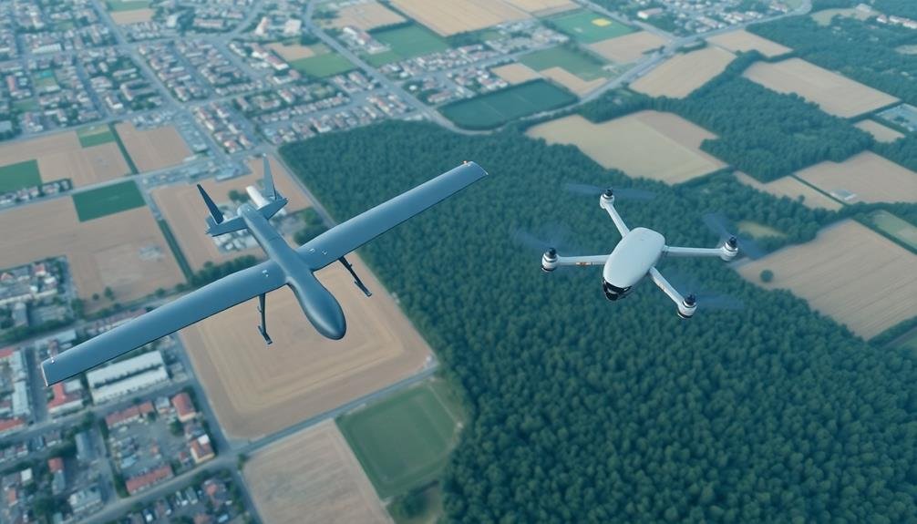
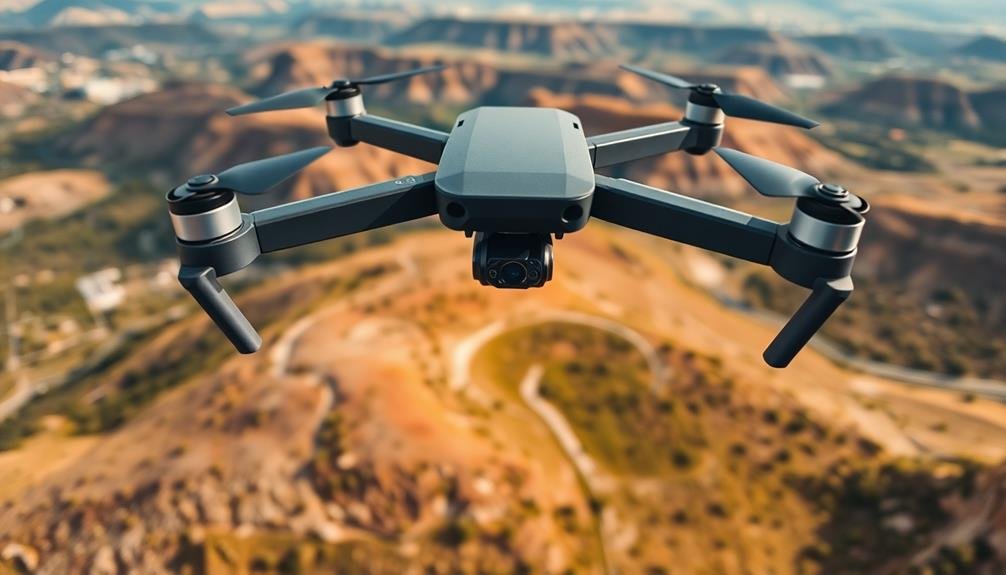
When it comes to mapping UAVs, you'll primarily choose between fixed-wing and multirotor drones. Each type has distinct advantages and limitations that affect their suitability for different mapping projects.
Fixed-wing drones excel in covering large areas efficiently. They're ideal for mapping expansive terrains like agricultural fields, forests, or infrastructure corridors. With their aerodynamic design, fixed-wing UAVs offer longer flight times and can carry heavier payloads, allowing for higher-resolution sensors.
However, they require more space for takeoff and landing, and they can't hover or capture detailed imagery of vertical structures.
Multirotor drones, on the other hand, offer greater versatility and maneuverability. They can take off and land vertically in confined spaces, hover for precise data collection, and navigate complex environments. This makes them perfect for mapping urban areas, construction sites, or areas with obstacles.
Multirotors also excel at capturing oblique imagery and inspecting vertical structures. Their main drawbacks are shorter flight times and smaller coverage areas compared to fixed-wing drones.
Your choice between fixed-wing and multirotor UAVs will depend on your specific mapping requirements, including area size, terrain complexity, and desired data resolution.
Payload Capacity and Sensor Options
The payload capacity and sensor options of a mapping UAV play an essential role in determining its capabilities and the quality of data it can collect. When selecting a mapping drone, you'll need to take into account the weight and type of sensors it can carry.
Higher payload capacities allow for more advanced and heavier sensors, which often translate to better data quality. You'll find that multirotor drones typically have lower payload capacities compared to fixed-wing models, but they offer more stability for certain sensors.
Common sensor options include RGB cameras for standard aerial photography, multispectral sensors for vegetation analysis, and thermal cameras for heat mapping. LiDAR sensors, while heavier and more expensive, provide highly accurate 3D point clouds.
Evaluate the specific requirements of your mapping projects when choosing sensors. If you're focusing on precision agriculture, a multispectral sensor might be essential. For urban planning or construction monitoring, a high-resolution RGB camera or LiDAR sensor could be more appropriate.
Don't forget to factor in the drone's flight time when adding sensors, as heavier payloads can greatly reduce endurance.
Balance your need for advanced sensors with the drone's ability to cover your intended mapping area efficiently.
Flight Time and Battery Life
How long can your mapping UAV stay airborne? Flight time and battery life are essential factors when selecting a drone for mapping projects. Longer flight times allow you to cover more ground in a single mission, increasing efficiency and reducing the need for multiple flights.
Most mapping UAVs offer flight times ranging from 20 to 60 minutes. However, factors like payload weight, wind conditions, and flying speed can greatly impact actual flight duration. To maximize your drone's time in the air, consider these tips:
- Choose a model with swappable batteries
- Carry spare batteries for extended missions
- Optimize your flight plan for efficiency
- Use power-saving features when available
Here's a comparison of flight times for popular mapping UAVs:
| UAV Model | Flight Time | Battery Capacity | Max Payload |
|---|---|---|---|
| DJI Phantom 4 RTK | 30 minutes | 5870 mAh | 1.0 kg |
| senseFly eBee X | 90 minutes | 3700 mAh | 1.2 kg |
| Parrot Anafi USA | 32 minutes | 3400 mAh | 0.9 kg |
| Autel EVO II Pro RTK | 40 minutes | 7100 mAh | 2.0 kg |
When evaluating battery life, consider the drone's power consumption, recharge time, and the availability of spare batteries. These factors will help you choose a UAV that meets your project's endurance requirements.
GPS Accuracy and RTK Systems
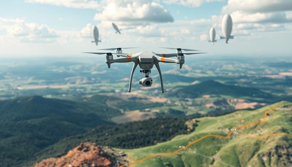
Accurate positioning is at the heart of successful mapping projects. When choosing a mapping UAV, you'll need to take into account its GPS accuracy and whether it includes Real-Time Kinematic (RTK) capabilities. Standard GPS systems typically offer accuracy within a few meters, which may suffice for basic mapping tasks. However, for high-precision surveys, you'll want to opt for a drone equipped with RTK technology.
RTK systems can provide centimeter-level accuracy by using a base station on the ground to correct GPS data in real-time. This enhanced precision is vital for applications like construction site monitoring, volumetric calculations, and detailed topographic mapping. Some advanced UAVs even offer Post-Processed Kinematic (PPK) functionality, allowing you to refine GPS data after the flight for even greater accuracy.
When evaluating GPS and RTK systems, pay attention to the number of satellite constellations the drone can access (e.g., GPS, GLONASS, Galileo). More constellations mean better coverage and reliability.
Also, check if the RTK system is integrated or requires additional modules. Integrated systems are often more user-friendly and streamlined.
Camera Resolution and Quality
When selecting a mapping UAV, you'll need to contemplate the camera's resolution and quality carefully.
The megapixel count of the sensor directly impacts the detail you can capture in your aerial imagery, while the sensor size affects the camera's light-gathering capabilities and overall image quality.
Don't overlook the importance of lens quality, as it greatly influences the sharpness and clarity of your captured data.
Megapixel Count Matters
The heart of any mapping UAV lies in its camera. When selecting a drone for mapping purposes, you'll need to pay close attention to the megapixel count of its onboard camera. Higher megapixel counts generally result in more detailed images, which is essential for creating accurate maps and 3D models.
For most mapping applications, you'll want a camera with at least 12 megapixels. This resolution allows for clear, crisp images that can be easily processed into usable data. However, if you're working on projects that require extreme precision, such as infrastructure inspections or archaeological surveys, you might want to take into account cameras with 20 megapixels or more.
Keep in mind that higher megapixel counts also mean larger file sizes, which can impact processing time and storage requirements. You'll need to balance the need for detail with practical factors like data management and processing capabilities.
It's also worth noting that megapixel count isn't the only factor affecting image quality. Sensor size, lens quality, and image processing capabilities all play essential roles.
Don't be swayed by megapixel count alone; evaluate the camera's overall performance and how it fits your specific mapping needs.
Sensor Size Considerations
Beyond megapixel count, sensor size plays an essential role in determining image quality for mapping UAVs.
Larger sensors typically capture more light, resulting in better image quality, especially in low-light conditions. They also tend to produce less noise and offer improved dynamic range, which is vital for capturing detailed aerial imagery.
When choosing a mapping UAV, consider the sensor size alongside other camera specifications.
Here's what you should keep in mind:
- Full-frame sensors offer the best image quality but come at a higher cost
- APS-C sensors provide a good balance between quality and affordability
- Micro Four Thirds sensors are compact and suitable for smaller drones
- 1-inch sensors are common in many high-end consumer drones
- Smaller sensors may suffice for basic mapping tasks but have limitations
Remember that sensor size affects the drone's payload capacity and flight time.
Larger sensors often require bigger, heavier cameras, which can reduce flight duration. Balance your needs for image quality with the drone's performance capabilities.
Additionally, consider the lens options available for different sensor sizes, as this can impact the versatility of your mapping UAV setup.
Lens Quality Impact
Along with sensor size, lens quality greatly impacts the overall camera resolution and quality of your mapping UAV. High-quality lenses produce sharper images with better contrast and color accuracy, which are essential for accurate mapping results.
When evaluating lens quality, consider factors like focal length, aperture, and lens distortion. A lens with an appropriate focal length for your mapping needs will guarantee you capture the right field of view. Wide-angle lenses are often preferred for aerial mapping as they cover more ground in a single shot.
The aperture affects light sensitivity and depth of field, with larger apertures allowing for better low-light performance. Look for lenses with minimal distortion to avoid warping in your aerial imagery.
Opt for lenses made with high-quality glass and coatings to reduce chromatic aberration and lens flare. Multi-element designs can help minimize optical imperfections.
Consider the durability of the lens, as it'll be subjected to vibrations and potential impacts during flights. Weather-sealed lenses are ideal for protecting against dust and moisture.
Software Integration and Data Processing
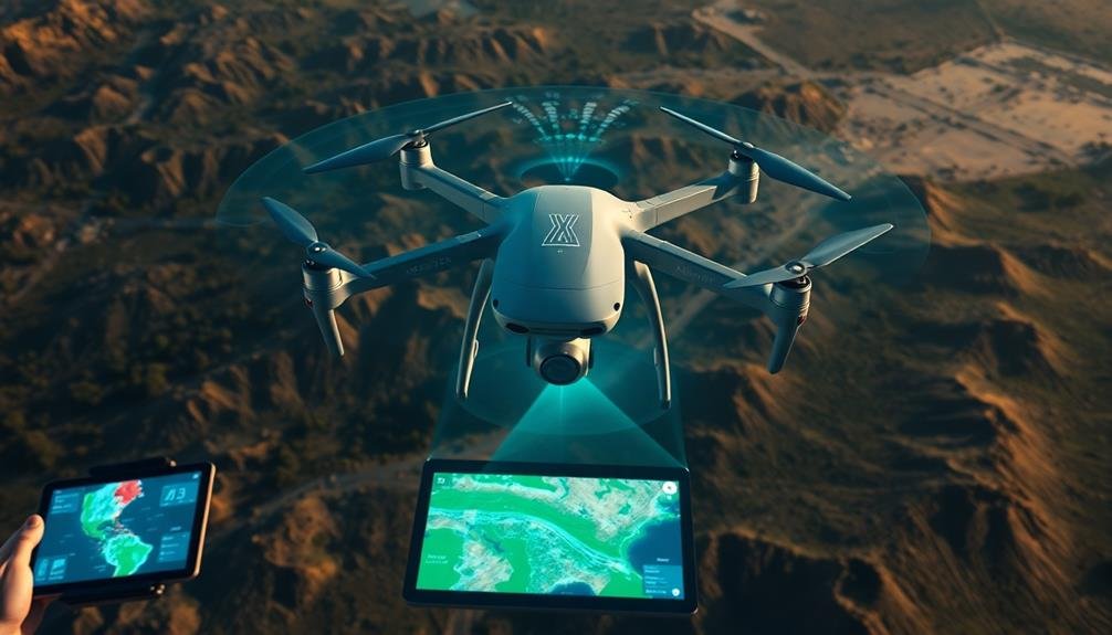
Mapping UAVs rely heavily on sophisticated software integration and data processing capabilities to churn out valuable insights. When selecting a mapping drone, you'll want to take into account its compatibility with industry-standard software and its ability to process data efficiently. Look for UAVs that seamlessly integrate with popular photogrammetry and GIS software, allowing you to easily transform raw data into actionable information.
Reflect on these key factors when evaluating software integration and data processing:
- Compatibility with your existing workflow
- Real-time data processing capabilities
- Cloud-based solutions for remote access
- Automated flight planning and mission execution
- Advanced analytics and reporting features
You'll also want to assess the drone's onboard processing power and storage capacity. Some advanced mapping UAVs offer edge computing capabilities, enabling preliminary data processing in-flight. This can greatly reduce post-flight processing time and allow for quicker decision-making in the field.
Don't forget to take into account the learning curve associated with new software. Choose a system that balances powerful features with user-friendly interfaces to make sure your team can quickly adapt and maximize the UAV's potential.
Durability and Weather Resistance
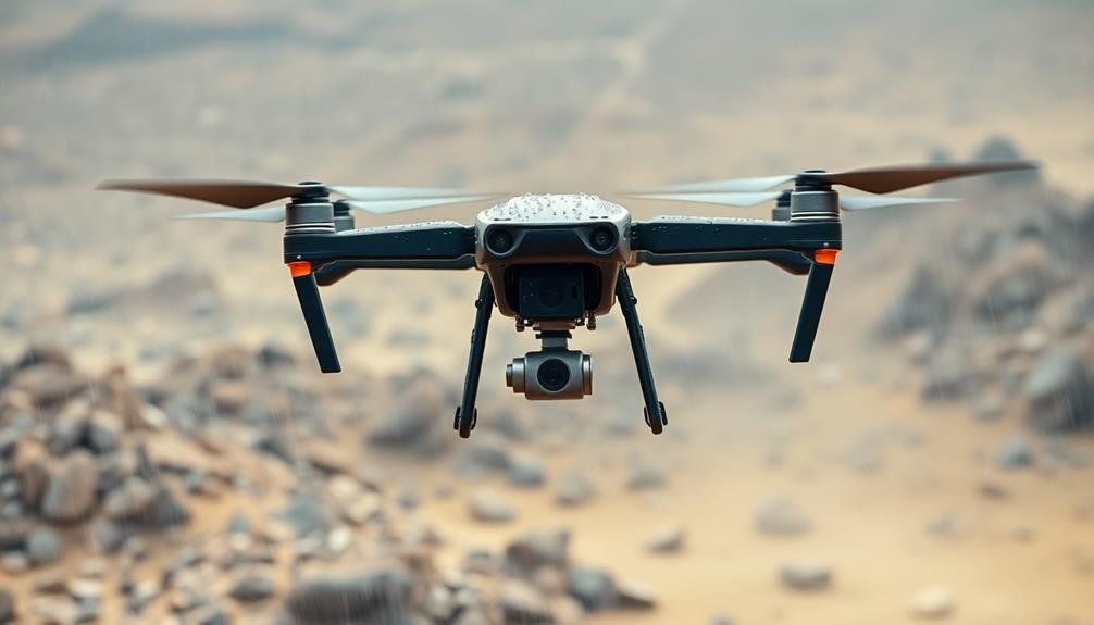
When selecting mapping UAVs, you'll need to take into account their durability and weather resistance.
Look for drones constructed with robust build materials that can withstand impacts and harsh conditions.
Check the environmental protection ratings to verify your UAV can operate in various weather scenarios, including light rain or dusty environments.
Robust Build Materials
Durability is an essential factor when selecting mapping UAVs for professional use. The materials used in construction play a vital role in determining how well your drone will withstand the rigors of fieldwork. You'll want to look for UAVs built with high-quality, impact-resistant materials that can handle occasional bumps and minor crashes.
Carbon fiber is often the gold standard for drone frames, offering an excellent strength-to-weight ratio. However, other materials like reinforced polymers and aircraft-grade aluminum can also provide robust protection.
When evaluating a mapping UAV's build quality, consider these key points:
- Impact resistance of the frame and body
- Quality of joints and connection points
- Protection for sensitive components like cameras and sensors
- Replaceable parts for easy repairs
- Water and dust resistance ratings
Don't forget to examine the drone's landing gear, as it's often the first point of contact during takeoffs and landings. Reinforced or shock-absorbing landing gear can greatly extend your UAV's lifespan.
Environmental Protection Ratings
Environmental protection ratings offer a standardized way to assess a mapping UAV's ability to withstand various weather conditions and environmental factors.
When choosing a mapping UAV, you'll want to pay close attention to its IP (Ingress Protection) rating. This two-digit code indicates the drone's resistance to solid particles and liquids.
The first digit ranges from 0 to 6, with 6 offering complete protection against dust. The second digit, ranging from 0 to 9, represents water resistance. For mapping purposes, you'll typically want a UAV with at least an IP54 rating, which provides protection against dust and water splashes.
Consider the environments you'll be operating in. If you're working in dusty or sandy areas, prioritize a higher first digit. For rainy or humid conditions, focus on a higher second digit. Some high-end mapping UAVs boast IP67 ratings, allowing for brief submersion in water.
Don't forget about temperature ranges. Check the manufacturer's specifications for operational temperature limits, especially if you'll be working in extreme heat or cold.
Wind resistance is another essential factor, as it directly affects flight stability and data accuracy.
Cost-Effectiveness and ROI Analysis
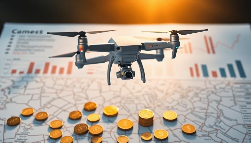
Beyond the initial investment, understanding the cost-effectiveness and return on investment (ROI) of mapping UAVs is vital for businesses and organizations.
You'll need to take into account factors like operational costs, data quality, and time savings to determine the true value of your UAV investment. Compare the costs of traditional surveying methods with UAV-based mapping to gauge potential savings.
When analyzing ROI, factor in:
- Reduced labor hours and personnel requirements
- Increased data accuracy and precision
- Faster project turnaround times
- Enhanced safety for workers in hazardous environments
- Ability to access hard-to-reach areas
Don't forget to account for ongoing expenses such as maintenance, software subscriptions, and training.
You should also take into account the potential for increased revenue through new service offerings or improved client satisfaction. Calculate the payback period by dividing the initial investment by the annual cost savings or revenue increase.
Remember that ROI can vary greatly based on your specific use case and industry.
It's essential to conduct a thorough analysis tailored to your organization's needs and goals. By carefully evaluating the cost-effectiveness and ROI of mapping UAVs, you'll be better equipped to make informed decisions about implementing this technology in your operations.
Frequently Asked Questions
Are Special Licenses Required to Operate Mapping UAVS Commercially?
Yes, you'll need specific licenses to operate mapping UAVs commercially. In most countries, you're required to obtain a remote pilot certificate and register your drone with aviation authorities. Always check local regulations before flying.
How Do Mapping UAVS Handle Wind and Turbulence During Data Collection?
You'll find mapping UAVs use advanced stabilization systems to combat wind and turbulence. They'll adjust their flight path, utilize gimbals for camera stability, and employ software corrections to guarantee accurate data collection even in challenging conditions.
Can Mapping UAVS Be Used for Indoor Mapping Projects?
Yes, you can use mapping UAVs for indoor projects. They're equipped with obstacle avoidance sensors and specialized indoor positioning systems. You'll need to take into account smaller drones and guarantee proper lighting for ideal results in confined spaces.
What Are the Legal Restrictions on Flying Mapping UAVS Near Airports?
You'll face strict regulations when flying mapping UAVs near airports. You can't fly within 5 miles of airports without permission. You must notify air traffic control and follow specific altitude restrictions. Always check local laws before flying.
How Often Should Mapping UAVS Undergo Maintenance and Calibration?
You should perform routine maintenance on your mapping UAV before each flight. Calibrate sensors monthly or after any crashes. Don't skip manufacturer-recommended service intervals. It's essential to keep your drone in top shape for accurate data collection.
In Summary
You've now got the key factors to evaluate when choosing a mapping UAV. Remember, there's no one-size-fits-all solution. Assess your specific needs, budget, and project requirements. Don't overlook the importance of software integration and data processing capabilities. By carefully evaluating each aspect we've discussed, you'll be well-equipped to select the right drone for your mapping tasks. Make an informed decision, and you'll maximize your UAV's effectiveness and ROI.
As educators and advocates for responsible drone use, we’re committed to sharing our knowledge and expertise with aspiring aerial photographers.


Leave a Reply