Category: Aerial Mapping Fundamentals
-

7 Mapping Techniques for Rapid Emergency Response
Uncover seven groundbreaking mapping techniques revolutionizing emergency response, from real-time aerial imagery to AI-powered change detection. How do they transform disaster management?
-
5 Key Composition Techniques for Mapping Photography
Never capture mapping photos without these 5 crucial composition techniques. Learn how to elevate your aerial imagery and create stunning…
-
What Factors Influence Mapping Precision in UAV Surveys?
Your UAV survey’s mapping precision hinges on multiple factors, from flight altitude to GPS accuracy. Discover how these elements interplay to
-
7 Tips for Precise Volumetric Measurements With Photogrammetry
Boost your photogrammetry accuracy with these 7 essential tips for precise volumetric measurements. Discover how to…
-
10 Top Flight Planning Tools for Mapping Projects
Groundbreaking flight planning tools revolutionize drone mapping projects, offering automated flights, real-time monitoring, and advanced mission planning. Which one will elevate your aerial data game?
-
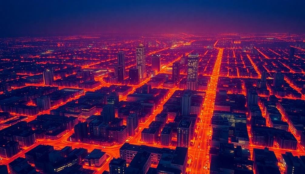
10 Thermal Imaging Techniques for Advanced Mapping Projects
Optimize your mapping projects with cutting-edge thermal imaging techniques that reveal hidden insights and transform your data analysis. Discover how these methods…
-
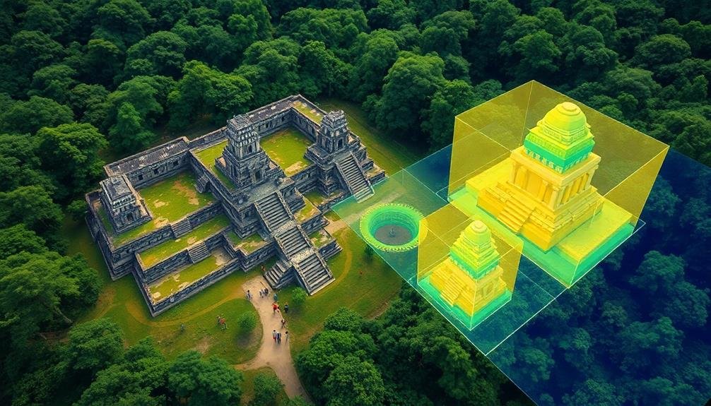
10 Mapping Techniques for Revealing Ancient Archaeological Secrets
Obscure archaeological wonders await discovery through these 10 cutting-edge mapping techniques, revolutionizing how we uncover hidden…
-
10 Aerial Mapping Camera Settings for Perfect Surveys
Unleash the power of aerial mapping with these 10 essential camera settings, transforming your surveys from ordinary to extraordinary. But there’s a catch…
-
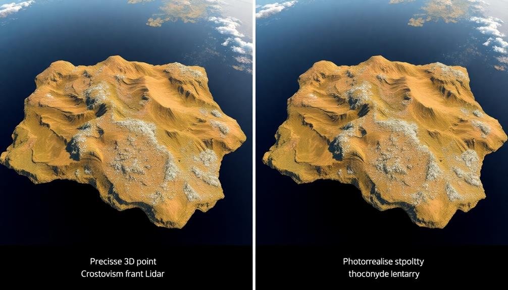
3 Key Differences: Lidar Vs Photogrammetry for Mapping
LiDAR and photogrammetry clash in mapping tech, but which reigns supreme? Discover the three crucial differences that could make or break your project.
-
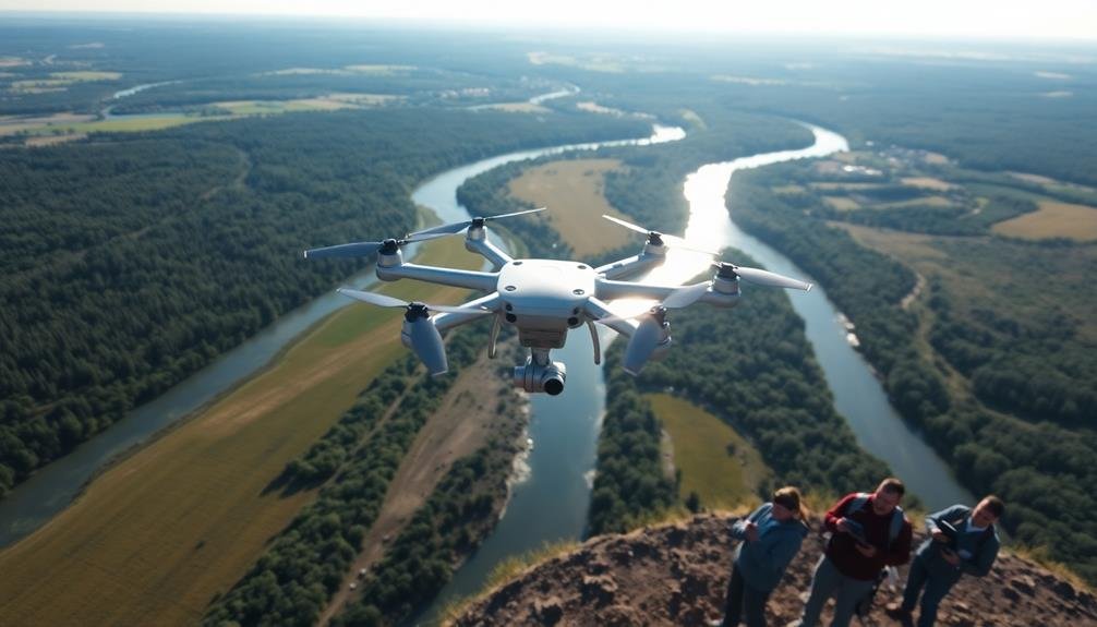
3 Key Techniques for Aerial Environmental Surveys
You’ll discover powerful aerial survey methods that reveal hidden environmental insights, but which technique holds the key to unlocking nature’s secrets?
