Category: Aerial Mapping Fundamentals
-
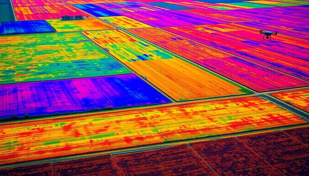
5 Key Benefits of Multispectral Imaging in Aerial Mapping
From crop health to environmental assessments, multispectral imaging in aerial mapping revolutionizes land management with five key benefits that transform…
-

Step-by-Step Guide: Aerial Photogrammetry Post-Processing for Beginners
You’ve captured aerial imagery, but what’s next? Discover the essential steps to transform your raw data into stunning 3D models and maps.
-

5 Best Aerial Mapping Regulations You Must Know
Five crucial aerial mapping regulations every drone pilot should know—but which one is the most important for your operations?
-

10 Best Point Cloud Creation Methods for UAV Mapping
Cutting-edge techniques revolutionize UAV mapping: discover the 10 best point cloud creation methods that will transform your aerial surveying projects. Which one will…
-

10 Tips to Boost Your Aerial Mapping Resolution
You’ve mastered the basics, but these 10 aerial mapping tips will skyrocket your resolution to new heights. Discover the secrets
-
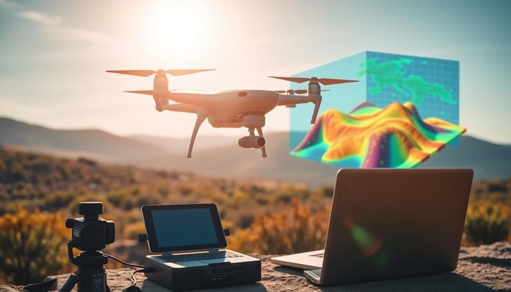
10 Must-Have Tools for Aerial Photogrammetry Success
High-flying success in aerial photogrammetry demands essential tools, from drones to software. Discover the 10 must-haves that’ll elevate your…
-
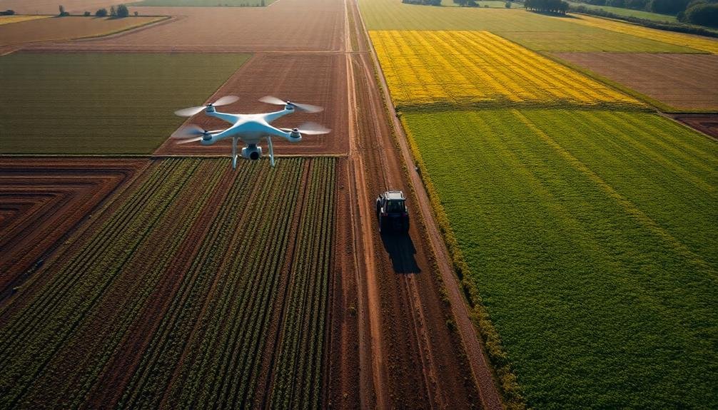
10 Essential Steps for Precision Agriculture Aerial Mapping
Discover the crucial steps for precision agriculture aerial mapping, from defining objectives to data analysis. But what’s the key to maximizing your farm’s potential?
-

10 Best Georeferencing Techniques for Aerial Imagery Accuracy
Soar to new heights of precision with these top georeferencing techniques for aerial imagery, but which one will revolutionize your workflow?
-
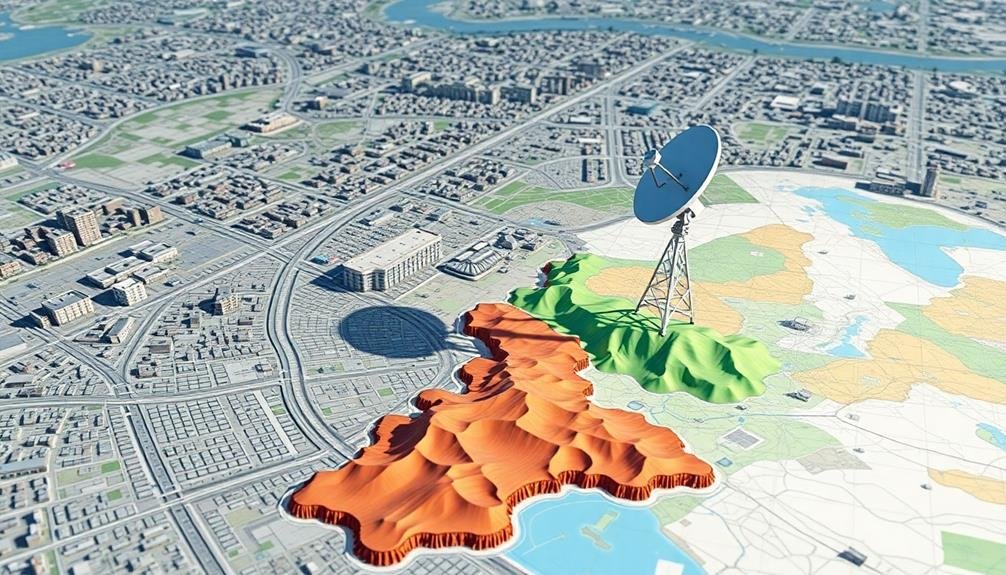
10 Tips for Transforming Aerial Imagery Into Precise Maps
From stunning aerial shots to accurate maps: discover 10 essential tips that transform your imagery into precision cartography. Find out how…
-
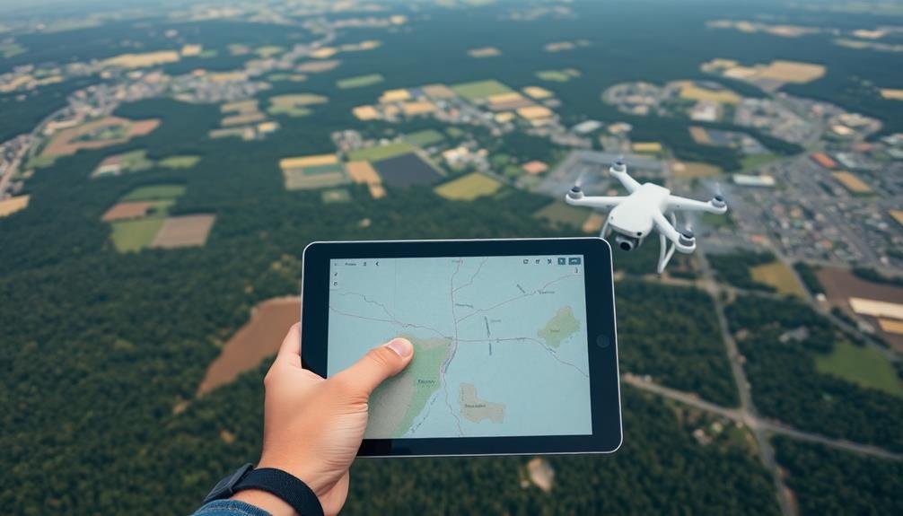
7 Essential Flight Planning Steps for Aerial Mapping
Wondering how to plan a successful aerial mapping flight? These 7 essential steps will guide you, but the last one might surprise you.
