Category: Aerial Mapping Fundamentals
-
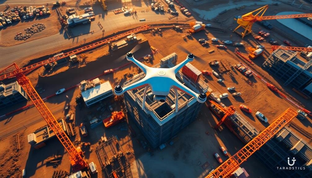
10 Aerial Mapping Tips for Construction Site Photography
Soar above construction sites with precision using these 10 aerial mapping tips, transforming your drone photography from amateur to professional-grade imagery that
-
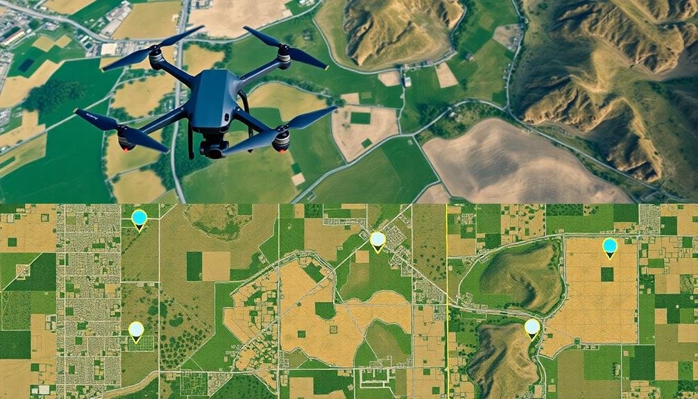
5 Essential Tips for Creating Precise Orthomosaic Maps
Unlock the secrets to flawless aerial mapping with these five crucial tips for orthomosaic precision. What’s the game-changing technique that pros swear by?
-
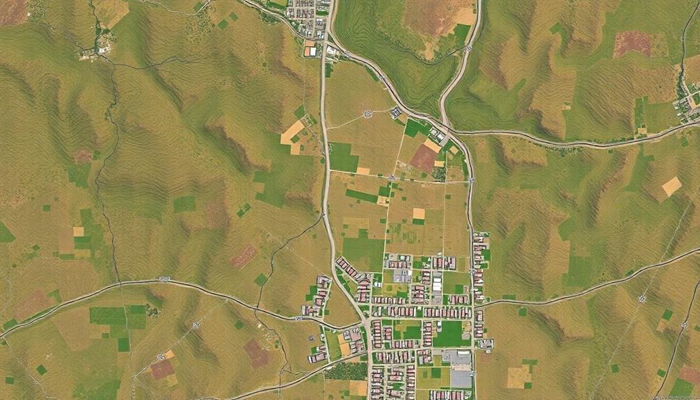
From Aerial Images to Precise Orthomosaic Maps
Soar into the world of aerial imagery, where pixels transform into precise orthomosaic maps. Discover the secrets behind this intricate process…
-
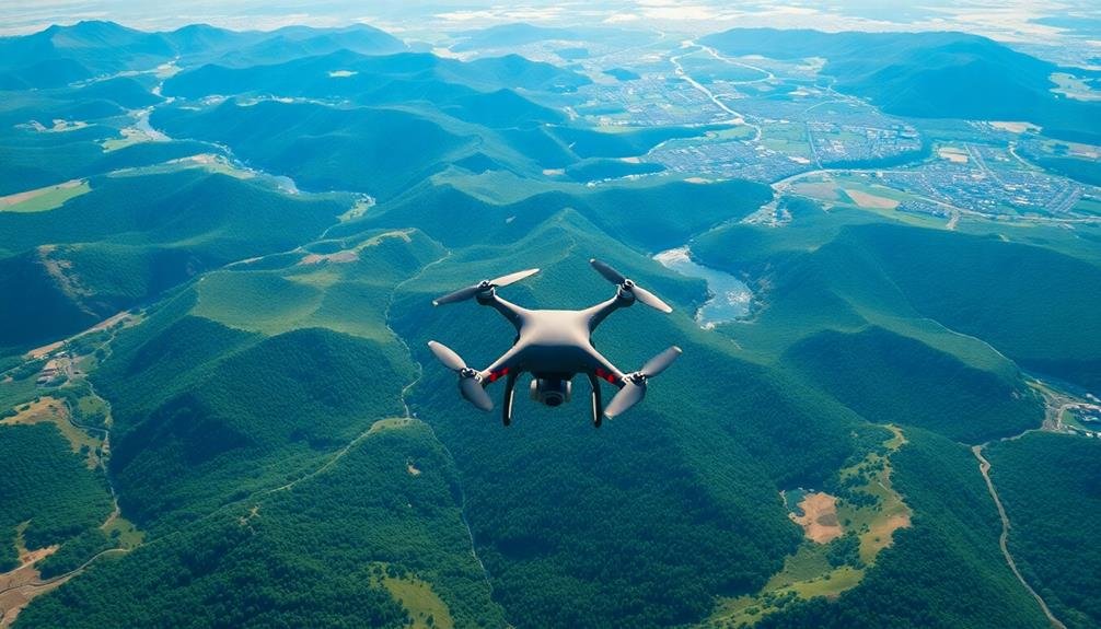
5 Essential Tips for Aerial Land Survey Mapping
Key strategies for aerial land survey mapping revealed: discover five essential tips that will transform your…
-

Essential Guide: Ground Control Points for Precise Mapping
Jaded by inaccurate maps? Jump into the world of ground control points and discover how they revolutionize precision mapping, elevating your projects to new heights.
-
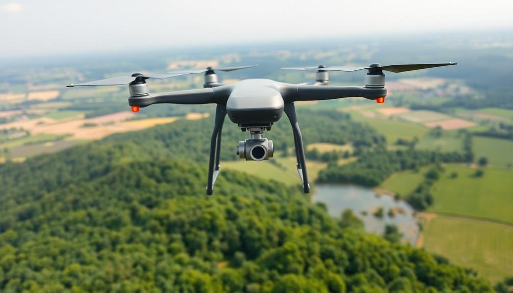
Boost Aerial Survey Precision: 5 Essential Techniques
Improve your aerial survey accuracy with these 5 crucial techniques. From flight planning to post-processing, discover how to elevate your results. But there’s more…
-
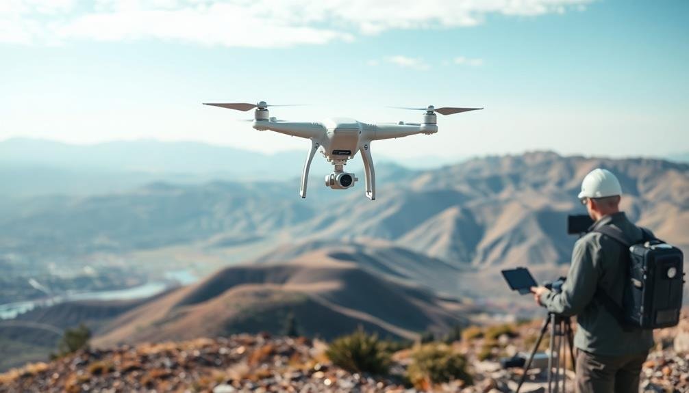
10 Top Photogrammetry Tools for Aerial Mapping Pros
Overwhelmed by photogrammetry software choices? Discover 10 top tools for aerial mapping professionals that streamline workflows and enhance project outcomes…
-
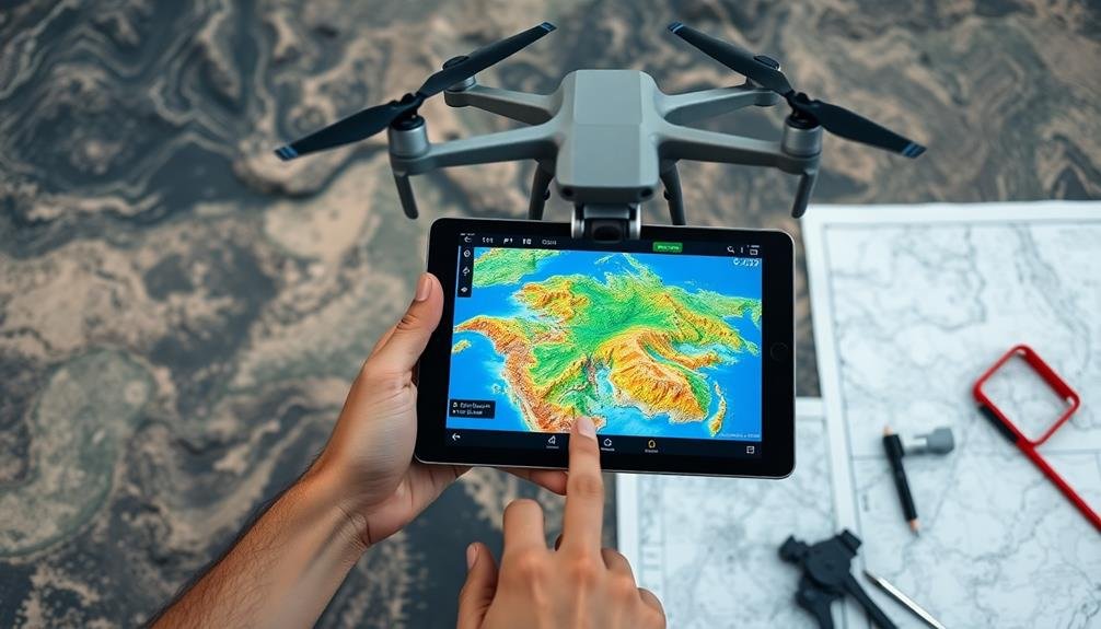
Top Aerial Mapping Tools: A Beginner’s How-To Guide
Learn essential aerial mapping tools and techniques in this beginner’s guide, from drone selection to software processing. Discover how to create…
-
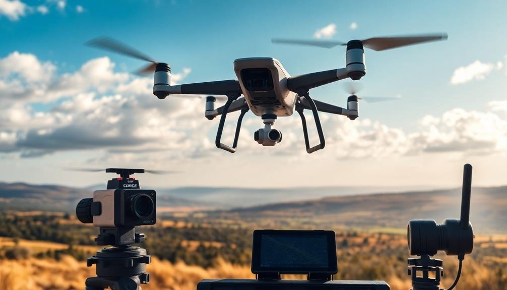
7 Top Flyers for Precise Aerial Surveys
Groundbreaking drones revolutionize aerial surveying with centimeter-level accuracy, extended flight times, and advanced features. Which one will elevate your mapping projects?
-
7 Steps to Transform Aerial Images Into 3D Models
Navigating the skies to ground-breaking 3D models: Discover the seven-step journey that transforms aerial images into immersive digital landscapes. What’s the secret ingredient?
