Category: Drone Mapping Surveying
-

5 Ways Imaging Enhances Insurance Claims Evaluation
Optical advancements revolutionize insurance claims, but how? Discover five game-changing ways imaging technology transforms evaluation processes and improves outcomes for insurers and policyholders alike.
-
7 Top Mapping Software Options for UAV Data Processing
Baffled by UAV data processing? Discover seven top mapping software options that streamline workflows, enhance precision, and revolutionize aerial imaging. Which one will transform your projects?
-
What Surveying Skills Can You Learn Virtually?
New surveying techniques await virtual learners, from aerial photogrammetry to 3D modeling. Discover how to master these skills without leaving your
-
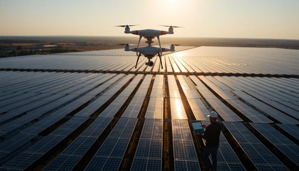
10 Tips for Efficient Solar Farm Inspections From Above
Key strategies for streamlined solar farm aerial inspections await, from drone selection to AI-powered defect detection. Discover how to…
-
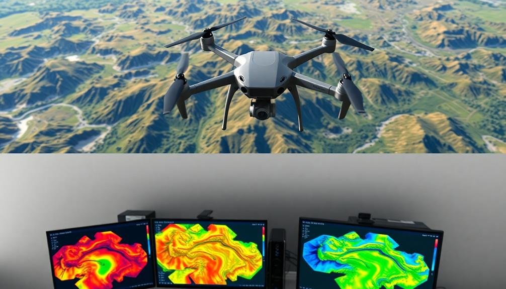
10 Best Tools for Precision Volumetric Surveys From Above
Harness the power of aerial precision with these 10 essential tools for volumetric surveys, revolutionizing your data collection and analysis. But which one is the game-changer?
-

Why Map Golf Courses From Above?
Harness the power of aerial golf course mapping to unlock hidden insights, revolutionize management, and elevate player experiences. How can this perspective transform your course?
-
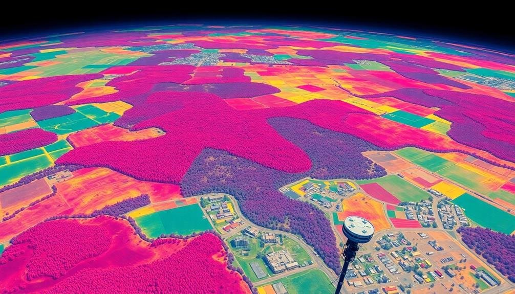
5 Multispectral Imaging Applications for Land Survey Insights
Land surveyors unlock hidden insights with multispectral imaging across five key applications, revolutionizing analysis and decision-making. Discover how…
-
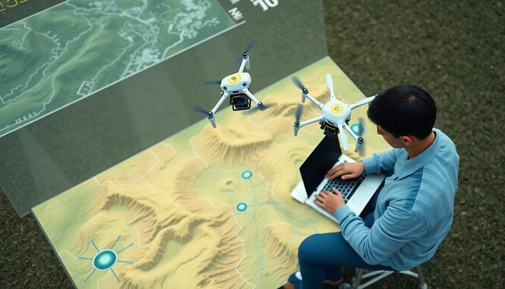
3 Tips: Maximize ROI in Surveying With UAVS
Want to skyrocket your ROI in UAV surveying? These three game-changing tips will transform your operations, but the last one might surprise you.
-
3 Innovative Ways to Survey Wildlife Habitats Remotely
Groundbreaking remote wildlife survey methods promise to revolutionize habitat monitoring, but which cutting-edge technologies are leading the charge?
-
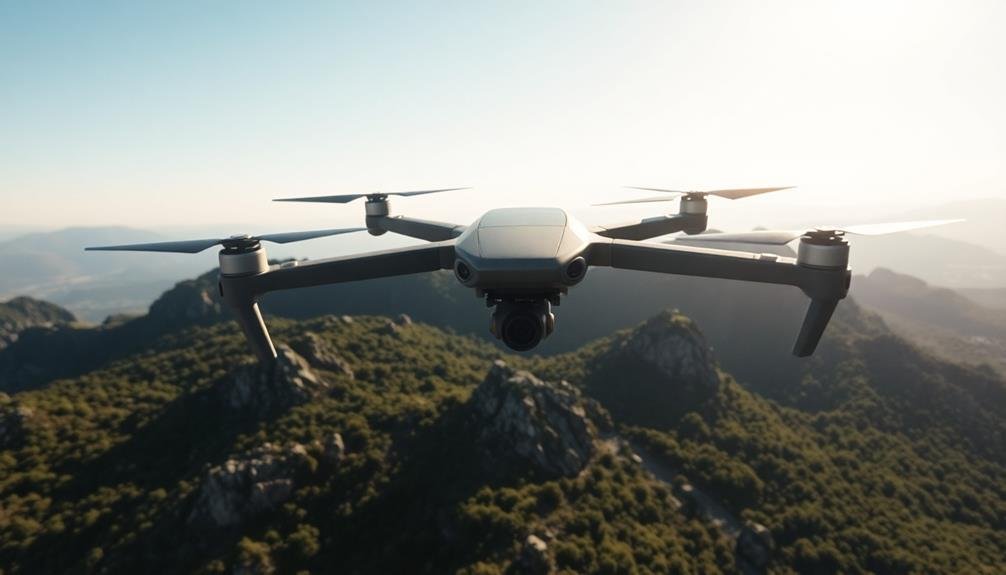
Why Map Infrastructure With Flying Cameras?
Soar into the future of infrastructure management with flying cameras, revolutionizing accuracy, safety, and efficiency. Discover how this technology can transform your approach.