Category: Drone Mapping Surveying
-

What Precision Tools Revolutionize Smart Farming Surveys?
Breakthrough precision tools revolutionize smart farming surveys, offering unparalleled insights into crop health and field conditions. But how do they work?
-

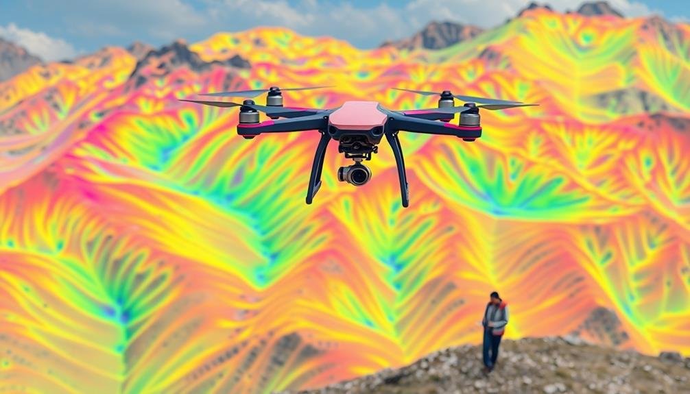
7 Mapping Strategies for Rapid Disaster Assessment
Groundbreaking mapping strategies revolutionize disaster assessment, but which ones will truly make a difference? Discover the game-changing techniques that…
-

Drone Techniques for Documenting Ancient Sites: A Guide
Journey into aerial archaeology with cutting-edge drone techniques that unlock ancient secrets. Discover how modern technology reveals…
-

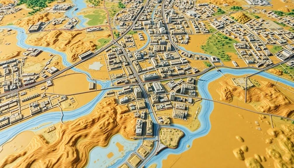
7 Best Urban Planning Applications for Mapping Cities
Jaded by ordinary maps? Discover 7 cutting-edge urban planning applications that revolutionize city mapping and analysis, transforming how we envision urban spaces.
-

Drones: Eyes in the Sky for Coastal Erosion
With cutting-edge technology, drones revolutionize coastal erosion monitoring, but their full potential remains untapped.
-

How to Map Mining Sites With UAV Technology
Soar above mining sites with UAV technology, capturing critical data for precise mapping and analysis. Discover the essential steps to
-

10 Best Software Tools for Drone-Based 3D Modeling
Groundbreaking drone software revolutionizes 3D modeling, but which tools truly stand out? Discover the top 10 that are reshaping aerial imagery processing.
-

What Are Global Mapping Rules for Unmanned Aircraft?
Drone mapping regulations differ worldwide, impacting your project’s feasibility. Discover the key factors that could determine your success or failure.
-
Why Use Thermal Drones for Precision Land Surveys?
Blazing new trails in land surveying, thermal drones offer unmatched precision and efficiency. But how do they revolutionize traditional methods?
-
What Is Mapping’s Role in Flood Risk Evaluation?
This essential tool visualizes flood data, aids risk assessment, and supports mitigation strategies, but how does mapping truly revolutionize flood management?