Flying sensors can reveal a wealth of information about urban pollution. They'll help you measure air quality parameters, map pollution hotspots, and collect real-time data across cities. You'll gain insights into vertical pollution profiles, assess traffic emissions, and monitor industrial zones with unprecedented accuracy. These sensors can analyze the impact of green spaces on air quality and detect urban heat islands. They'll provide you with dynamic emission source tracking and support the assessment of mitigation strategies. With flying sensors, you'll have a powerful tool to understand and combat urban pollution. Exploring their capabilities further will unveil even more potential for improving urban environments.
Types of Flying Sensors
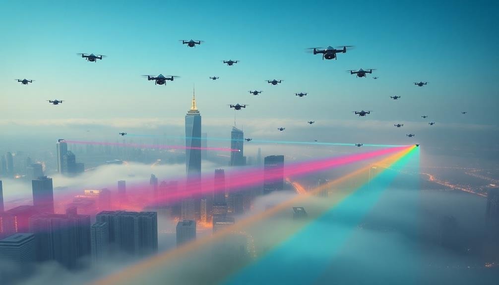
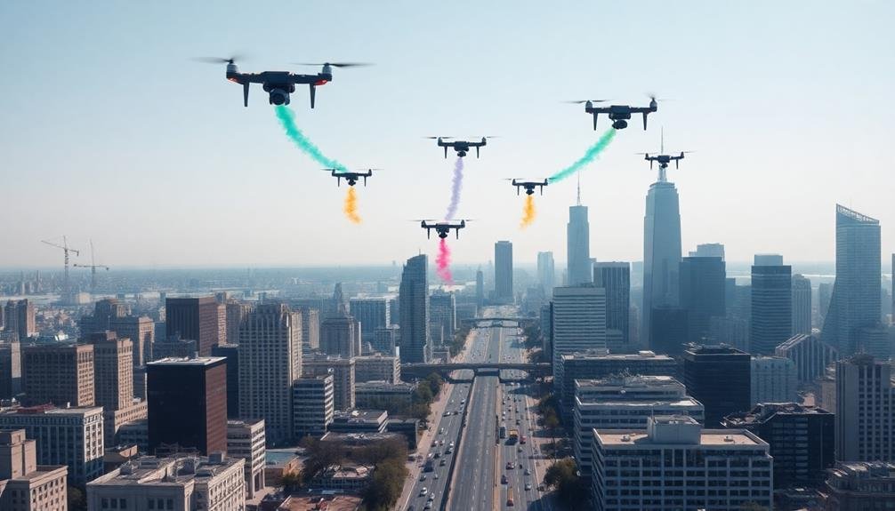
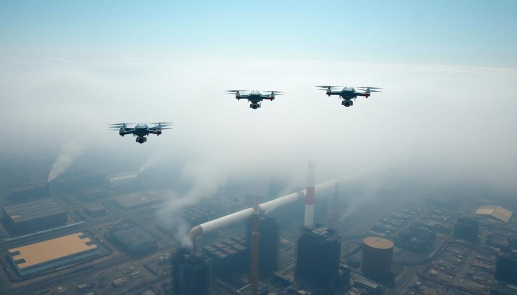
Flying sensors come in various forms, each designed for specific urban pollution monitoring tasks. You'll find three main types: unmanned aerial vehicles (UAVs), tethered balloons, and miniature satellites.
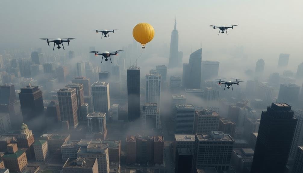
UAVs, or drones, are the most versatile. They can carry multiple sensors and navigate complex urban environments. You'll see them equipped with particulate matter sensors, gas analyzers, and even cameras for visual pollution assessment. They're ideal for targeted, short-term monitoring campaigns.
Tethered balloons offer a different approach. They're stationary but can reach higher altitudes than most drones. You'll find them useful for continuous monitoring of vertical pollution profiles. They're often equipped with weather sensors alongside pollution monitors, providing valuable data on how atmospheric conditions affect pollution dispersion.
Miniature satellites, or CubeSats, give you a broader perspective. While they can't provide street-level detail, they're excellent for monitoring large-scale pollution patterns. You'll use them to track urban heat islands, measure greenhouse gas emissions, and monitor air quality across entire cities or regions.
Each type has its strengths, and you'll often see them used in combination for extensive urban pollution monitoring.
Measuring Air Quality Parameters
With flying sensors, you're able to measure a wide range of air quality parameters. These devices can detect and quantify various pollutants and atmospheric conditions that impact urban air quality. You'll find that flying sensors are equipped with specialized instruments to capture data on particulate matter, gases, and other environmental factors.
The sensors can measure:
| Parameter | Unit | Typical Range |
|---|---|---|
| PM2.5 | µg/m³ | 0-500 |
| Ozone | ppb | 0-500 |
| NO2 | ppb | 0-200 |
| CO | ppm | 0-50 |
You'll notice that flying sensors offer advantages over traditional ground-based monitoring stations. They can cover larger areas quickly, access hard-to-reach locations, and provide vertical profiles of pollutant concentrations. This gives you a more thorough understanding of urban air quality dynamics.
When you're using flying sensors, you'll be able to track temporal and spatial variations in pollution levels. This data helps you identify pollution hotspots, assess the effectiveness of air quality improvement measures, and inform urban planning decisions. You can also use the information to develop more accurate air quality models and forecasting systems for your city.
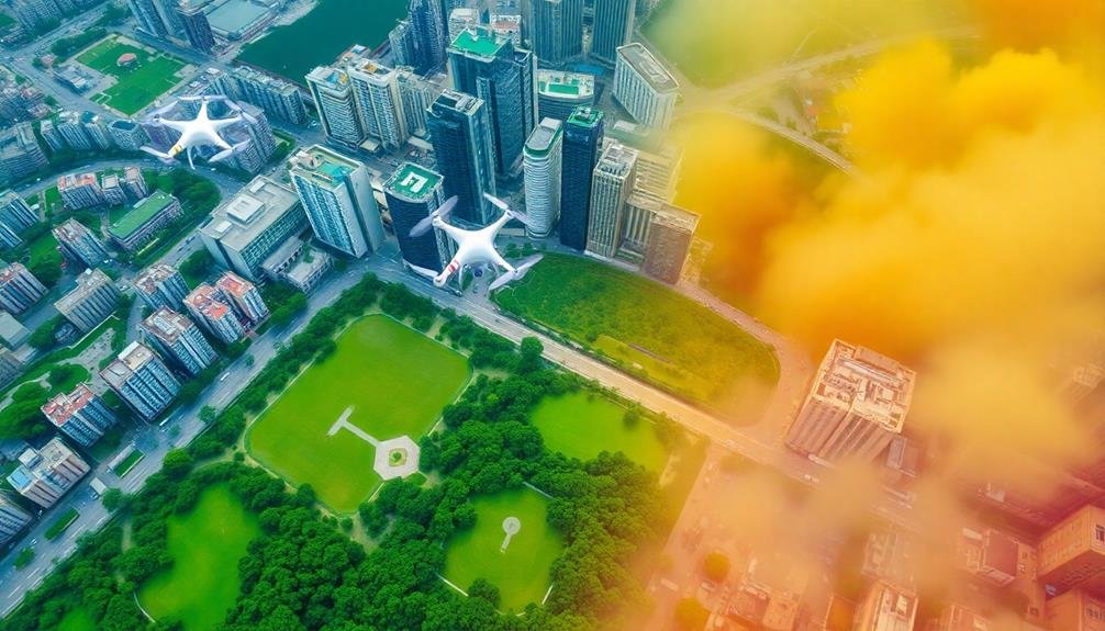
Mapping Pollution Hotspots
You'll find that flying sensors excel at identifying pollution concentration zones, revealing where pollutants accumulate in urban areas.
These airborne devices can pinpoint emission sources with remarkable accuracy, tracing pollutants back to their origins.
Identifying Pollution Concentration Zones
Urban landscapes often conceal invisible threats lurking in the air we breathe.
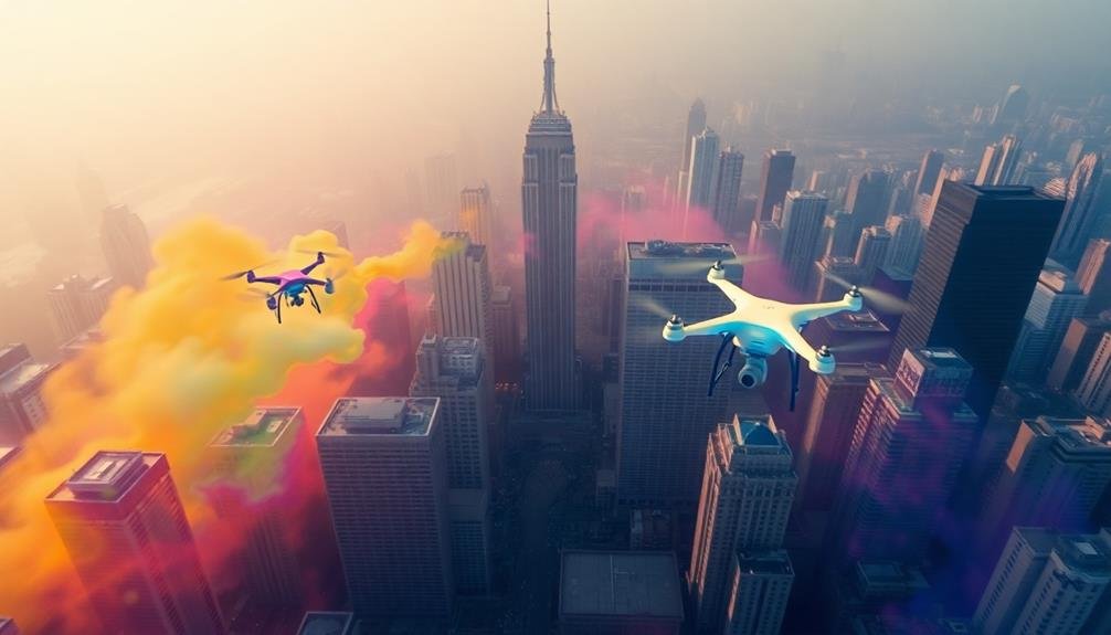
Flying sensors play an essential role in identifying pollution concentration zones, allowing you to visualize these hidden dangers. By deploying drones equipped with advanced air quality monitors, you can create detailed maps of pollution distribution across cities.
These aerial devices collect data on various pollutants, including particulate matter, nitrogen dioxide, and ozone. As they navigate through different urban areas, they reveal patterns of pollution accumulation.
You'll find that certain neighborhoods, intersections, or industrial zones consistently show higher concentrations of harmful substances.
Pinpointing Emission Sources Accurately
Numerous pollution hotspots dot our urban landscapes, and flying sensors excel at pinpointing their exact locations. These aerial devices can map emission sources with unprecedented accuracy, helping you identify specific buildings, industrial facilities, or traffic intersections responsible for high pollution levels.
You'll find that flying sensors use advanced algorithms to analyze data in real-time, cross-referencing it with geographical information systems. This allows for precise identification of pollution sources, even in complex urban environments. They can detect emissions from factory chimneys, vehicle exhaust systems, and even smaller sources like restaurant kitchens or dry cleaners.
By employing multiple sensors simultaneously, you can create a thorough 3D map of pollution distribution. This helps you distinguish between ground-level and elevated sources, essential for understanding how pollutants disperse in urban areas.
You'll also be able to track temporal variations, identifying sources that may only operate at certain times of day.
With this detailed information, you can target interventions more effectively, focusing on the most significant contributors to urban pollution. It's a game-changer for environmental management, allowing for tailored strategies to improve air quality in our cities.
Real-Time Data Collection
You'll find that flying sensors excel at real-time data collection, offering continuous air quality monitoring throughout urban environments.
These airborne devices can rapidly detect various pollutants, providing up-to-the-minute information on air quality changes.
With their mobility, you can track dynamic emission sources, pinpointing pollution origins as they shift across the city landscape.
Continuous Air Quality Monitoring
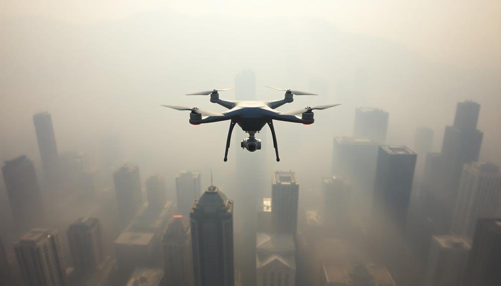
While traditional air quality monitoring stations provide valuable data, they're limited by their fixed locations and infrequent sampling. Flying sensors overcome these limitations by offering continuous, mobile air quality monitoring across urban environments. These airborne devices can traverse cities, collecting real-time data on various pollutants and environmental factors.
You'll find that continuous monitoring allows for a more thorough understanding of pollution patterns. Flying sensors can detect sudden spikes in pollutant levels, track the movement of pollution plumes, and identify localized hotspots that might be missed by stationary monitors. They can also measure air quality at different altitudes, providing insights into vertical pollution distribution.
The data collected by these sensors enables you to create high-resolution pollution maps that update in real-time. This information is essential for city planners, environmental agencies, and health officials to make informed decisions and implement targeted interventions.
With continuous monitoring, you can assess the effectiveness of pollution control measures, predict air quality trends, and issue timely alerts to the public when pollution levels become dangerous.
Rapid Pollutant Detection Capabilities
The rapid pollutant detection capabilities of flying sensors take continuous monitoring to the next level. These advanced devices can swiftly identify and measure various pollutants in real-time, providing you with instant data on air quality. As drones or other aerial platforms equipped with sophisticated sensors navigate through urban environments, they're able to detect sudden spikes in pollution levels or pinpoint emission sources quickly.
You'll find that these flying sensors offer several advantages over traditional stationary monitoring systems:
- Mobility: They can cover large areas and access hard-to-reach locations.
- Speed: Real-time data collection allows for immediate response to pollution events.
- Versatility: They can detect multiple pollutants simultaneously.
- Precision: High-resolution mapping of pollution hotspots is possible.
With rapid pollutant detection, you're able to make informed decisions faster. Whether you're a city planner, environmental researcher, or concerned citizen, you'll have access to up-to-the-minute air quality information.
This technology enables swift identification of pollution sources, allowing for quicker implementation of mitigation strategies. It's revolutionizing our approach to urban air quality management, making it more proactive and efficient than ever before.
Dynamic Emission Source Tracking
Building on the rapid detection capabilities, dynamic emission source tracking takes urban pollution monitoring to new heights. You'll find that flying sensors can now follow pollution plumes in real-time, pinpointing their origins with unprecedented accuracy.
These airborne devices use advanced algorithms to analyze wind patterns and concentration gradients, allowing them to backtrack emissions to their sources.
As you observe the data, you'll notice how these sensors can differentiate between multiple pollution sources, even in complex urban environments. They're capable of distinguishing industrial emissions from vehicle exhaust or residential heating systems.
This granular level of information enables city planners and environmental agencies to target specific polluters and implement more effective mitigation strategies.
You'll appreciate how this technology adapts to changing conditions. If a new pollution source emerges or an existing one alters its emission patterns, the flying sensors quickly detect and track these changes.
This dynamic approach guarantees that you're always working with the most up-to-date information, allowing for rapid response to emerging environmental threats and more informed decision-making in urban air quality management.
Vertical Pollution Profiles
Pollution layers in urban environments reveal a complex vertical structure that's often overlooked. Flying sensors can help you understand these vertical pollution profiles, providing essential insights into air quality at different heights. You'll discover how pollutants disperse and interact as they rise from street level to rooftops and beyond.
By utilizing drones and other aerial platforms equipped with advanced sensors, you can:
- Map pollution concentrations at various altitudes
- Identify inversions and stagnant air pockets
- Track the movement of pollutants between different atmospheric layers
- Assess the effectiveness of green infrastructure at different heights
These vertical profiles offer a more thorough picture of urban air quality than ground-level measurements alone. You'll be able to pinpoint areas where pollution accumulates, helping city planners and environmental scientists develop targeted strategies for improvement.
Additionally, you can use this data to enhance air quality forecasting models, making them more accurate and useful for public health warnings. By understanding the vertical distribution of pollutants, you'll gain valuable insights into how buildings, trees, and other urban structures influence air flow and pollution dispersion, leading to more effective urban planning and pollution mitigation efforts.
Urban Heat Island Detection
You'll find that flying sensors excel at urban heat island detection through advanced temperature mapping techniques.
These airborne tools can reveal how urban design impacts heat retention and distribution across city landscapes.
Temperature Mapping Techniques
Within the domain of urban pollution monitoring, temperature mapping techniques play an essential role in detecting and analyzing urban heat islands. You'll find that these methods utilize advanced sensors and data processing algorithms to create detailed thermal profiles of urban areas. By employing flying sensors, such as drones or satellites, you can capture temperature data across vast city landscapes efficiently.
To understand the importance of temperature mapping techniques, consider these key points:
- High-resolution thermal imaging: You'll use infrared cameras to detect subtle temperature variations across urban surfaces.
- Temporal analysis: By mapping temperatures at different times of day and year, you'll identify patterns in heat retention and dissipation.
- 3D modeling: You'll integrate elevation data to create three-dimensional heat maps, revealing how building heights affect temperature distribution.
- Data fusion: Combining temperature data with other environmental factors, you'll gain thorough insights into urban microclimates.
These techniques allow you to pinpoint hotspots, assess the effectiveness of cooling strategies, and inform urban planning decisions.
You'll be able to track changes over time, helping cities adapt to and mitigate the effects of urban heat islands.
Urban Design Impacts
Building on the temperature mapping techniques, urban design impacts become a focal point in detecting and mitigating urban heat islands. You'll find that flying sensors can reveal essential information about how city layouts affect pollution and heat retention.
These airborne devices can identify areas with excessive heat absorption, often due to dark surfaces, lack of vegetation, or poor air circulation. As you analyze the data, you'll notice patterns emerge. Dense clusters of high-rise buildings might trap heat and pollutants, while areas with more green spaces tend to be cooler.
You can pinpoint neighborhoods where asphalt and concrete dominate, contributing to higher temperatures. This information allows urban planners to make informed decisions about future developments.
You'll also be able to assess the effectiveness of existing heat mitigation strategies. For instance, you can measure the impact of green roofs, reflective surfaces, or urban forests on local temperatures.
Mitigation Strategies Assessment
Flying sensors play an essential role in evaluating the effectiveness of urban heat island mitigation strategies. You'll find these airborne devices collecting data on temperature, humidity, and surface reflectivity across cities.
They're able to capture high-resolution thermal images, helping urban planners and researchers assess the impact of various cooling initiatives.
When you're looking at mitigation strategies, flying sensors can help you measure:
- Green roof performance
- Cool pavement effectiveness
- Urban forest canopy coverage
- Reflective building material impacts
You'll see how these sensors can track changes over time, allowing you to compare pre- and post-implementation data. This information is vital for determining which strategies are most effective in reducing urban heat.
You can use the data to fine-tune your approach, focusing resources on the most impactful solutions.
Flying sensors also enable you to identify hot spots that may have been overlooked in ground-based assessments. This extensive view helps you develop targeted interventions for specific neighborhoods or city blocks.
Traffic Emissions Assessment
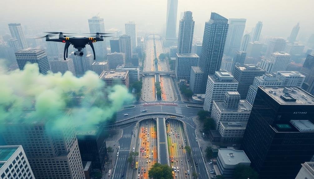
As urban areas grapple with increasing air pollution, traffic emissions assessment has become a vital component of environmental monitoring. Flying sensors offer a revolutionary approach to this challenge, providing real-time data on vehicle emissions across vast urban landscapes.
You'll find that these airborne devices can measure a range of pollutants, including carbon monoxide, nitrogen oxides, and particulate matter. They're equipped with advanced sensors that can detect emissions from individual vehicles, giving you a thorough picture of traffic-related pollution hotspots.
By deploying drones or other flying platforms, you can quickly gather data from congested intersections, highways, and urban centers. This information helps you identify areas with the highest pollution levels and pinpoint the most problematic vehicle types or traffic patterns.
You'll also appreciate how flying sensors can track pollution dispersion, showing how emissions spread from roadways into surrounding neighborhoods. This data is essential for developing targeted interventions, such as rerouting heavy traffic or implementing stricter emission controls in specific areas.
Ultimately, traffic emissions assessment using flying sensors empowers you to make informed decisions about urban planning and pollution mitigation strategies.
Industrial Zone Monitoring
Factories and industrial complexes pose unique challenges for air quality monitoring. Flying sensors offer a game-changing solution for evaluating pollution in these areas. They can access hard-to-reach locations and provide real-time data on emissions, helping to identify hotspots and track pollutant dispersal patterns.
You'll find that drones equipped with advanced sensors can:
- Measure a wide range of pollutants, including particulate matter, volatile organic compounds, and greenhouse gases
- Create 3D maps of pollution concentrations across industrial zones
- Detect leaks and unauthorized emissions from factories
- Monitor air quality changes over time, allowing for trend analysis
By using flying sensors, you're able to gather more thorough data than traditional ground-based monitoring stations. This information is essential for enforcing environmental regulations and developing targeted pollution reduction strategies.
It's also valuable for evaluating the effectiveness of emission control measures implemented by industries.
Moreover, you can use the data collected by flying sensors to inform urban planning decisions, such as determining safe buffer zones between industrial areas and residential neighborhoods. This approach helps protect public health and improve overall air quality in urban environments.
Green Space Impact Analysis
With urban green spaces gaining recognition for their air-purifying potential, flying sensors are revolutionizing how we assess their impact. These airborne devices can map the air quality around parks, gardens, and tree-lined streets with unprecedented detail.
You'll find that drones equipped with advanced sensors can measure particulate matter, ozone, and other pollutants at various heights and locations within green spaces.
By comparing data from green areas to nearby built-up zones, you can quantify the pollution reduction effects of vegetation. Flying sensors allow you to track seasonal changes in air quality, helping you understand how leaf cover impacts pollution levels throughout the year.
You'll also be able to identify which types of plants are most effective at filtering air pollutants.
This data empowers urban planners to make informed decisions about green space design and placement. You can use it to optimize the layout of parks, choose the most beneficial plant species, and create green corridors that maximize air purification.
Ultimately, flying sensors provide the evidence needed to justify investments in urban greening projects, showing their concrete benefits for public health and environmental quality.
Policy Implications and Solutions
The data gathered from flying sensors has far-reaching policy implications for urban air quality management.
You'll find that this information empowers policymakers to make informed decisions about pollution control strategies. By identifying pollution hotspots and tracking emission patterns, cities can tailor their approaches to address specific problem areas.
With these insights, you're able to develop more effective policies and solutions. Here are four key areas where flying sensor data can drive change:
- Zoning regulations
- Traffic management
- Industrial emissions control
- Green infrastructure planning
You'll notice that zoning laws can be revised to create buffer zones between pollution sources and residential areas.
Traffic flow can be optimized to reduce congestion and emissions in high-risk zones.
Industrial facilities can be held accountable for their emissions through more accurate monitoring.
Frequently Asked Questions
How Do Flying Sensors Compare to Traditional Ground-Based Air Quality Monitoring Stations?
You'll find flying sensors offer more mobility and flexibility than stationary ground stations. They can cover larger areas quickly, access hard-to-reach locations, and provide real-time, three-dimensional data on air quality across different altitudes and environments.
What Are the Privacy Concerns Associated With Using Flying Sensors in Urban Areas?
You should be aware that flying sensors in urban areas raise privacy concerns. They can capture detailed images and data about people's activities, potentially invading personal space and compromising individual privacy without consent. It's a contentious issue.
How Do Weather Conditions Affect the Accuracy of Flying Sensor Measurements?
You'll find that weather conditions greatly impact flying sensor accuracy. Wind can disrupt flight paths, while rain or humidity may interfere with sensors. Temperature fluctuations can affect readings, and sunlight might skew certain measurements. Always consider these factors when analyzing data.
Can Flying Sensors Detect Indoor Air Pollution in High-Rise Buildings?
You'll find that flying sensors can indeed detect indoor air pollution in high-rises. They're able to hover near windows or balconies, capturing data on pollutants that seep in from outside or originate within the building itself.
What Are the Potential Health Risks for Operators of Flying Sensor Equipment?
You'll face potential health risks as a flying sensor operator. You're exposed to airborne pollutants, electromagnetic radiation, and noise. You might experience eye strain, headaches, or respiratory issues. There's also a risk of accidents during equipment deployment.
In Summary
You've seen how flying sensors revolutionize urban pollution monitoring. They're giving you unprecedented insights into air quality, from street level to skyscrapers. You can now pinpoint pollution sources, track emissions in real-time, and assess the impact of green spaces. With this data, you're better equipped to develop targeted solutions and policies. It's time to harness this technology and take decisive action to create cleaner, healthier cities for everyone.
As educators and advocates for responsible drone use, we’re committed to sharing our knowledge and expertise with aspiring aerial photographers.


Leave a Reply