
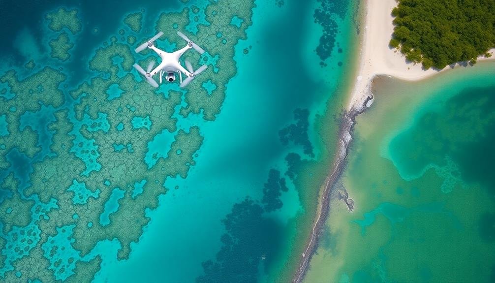
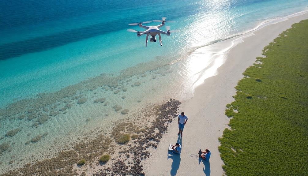
Monitoring coastal ecosystems from above offers unparalleled advantages. You'll gain a broader perspective, revealing patterns and changes invisible from the ground. Aerial surveys efficiently cover vast areas, minimizing disturbance to wildlife and habitats. You can track population dynamics, map habitats, and detect environmental shifts with unprecedented accuracy. From identifying erosion hotspots to spotting pollution sources, aerial monitoring provides essential data for conservation efforts. It's a cost-effective approach that allows access to remote or dangerous areas, enhancing your ability to develop targeted management strategies. By embracing this bird's-eye view, you'll reveal a wealth of insights to protect and preserve our crucial coastal environments.
Aerial Perspective Advantages
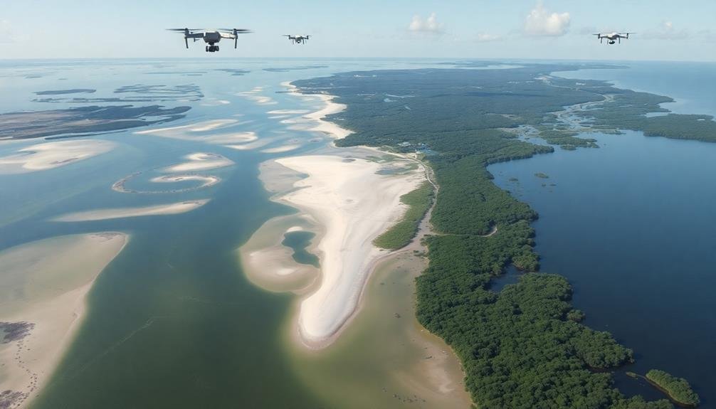
Numerous advantages come with monitoring coastal ecosystems from an aerial perspective. You'll gain a broader view of the landscape, allowing you to observe patterns and changes that aren't visible from the ground. This bird's-eye view enables you to track shoreline erosion, detect algal blooms, and identify pollution sources more effectively.
You'll also be able to cover vast areas quickly, saving time and resources compared to traditional ground-based surveys. This efficiency is essential for monitoring large coastal regions or responding to sudden environmental changes.
From above, you can easily spot wildlife movements, nesting sites, and migration patterns, providing valuable data on ecosystem health and biodiversity.
Aerial monitoring offers a non-invasive approach, minimizing disturbance to sensitive habitats and wildlife. You'll capture high-resolution imagery and data that can be analyzed repeatedly, creating a thorough record of coastal changes over time.
This information is invaluable for making informed decisions about conservation efforts, urban planning, and climate change adaptation strategies.
Minimizing Wildlife Disturbance
While aerial monitoring offers many benefits, it's vital to contemplate its impact on wildlife. When you're observing coastal ecosystems from above, you must prioritize minimizing disturbance to the animals and their habitats.
Using drones or manned aircraft at appropriate altitudes and distances can greatly reduce stress on wildlife compared to ground-based monitoring methods.
You'll find that aerial monitoring allows you to collect data without physically entering sensitive areas, preserving delicate ecosystems and avoiding habitat disruption.
By planning flight paths carefully and adhering to local regulations, you can gather critical information while respecting wildlife boundaries.
Consider these imagery-evoking scenarios when monitoring from above:
- A soaring eagle's view of a pristine coastline
- Sunlight glinting off camera lenses as they capture shoreline changes
- The gentle hum of a drone hovering over a thriving coral reef
Tracking Population Dynamics
You'll need to assess species abundance and distribution to understand coastal ecosystem health.
Analyzing migration patterns will reveal how different species move through and utilize these areas.
Species Abundance and Distribution
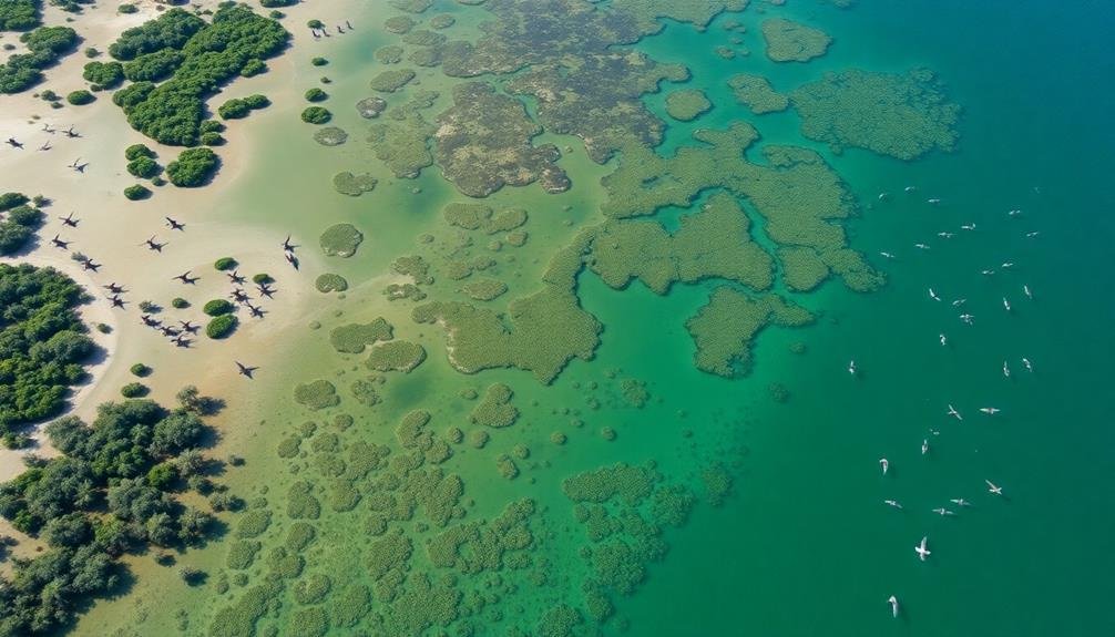
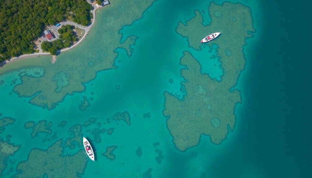
Tracking species abundance and distribution is a cornerstone of coastal ecosystem monitoring. From above, you can easily observe patterns and changes that might be missed at ground level. Aerial surveys and satellite imagery provide a thorough view of how different species populate the coastline, revealing essential information about ecosystem health and biodiversity.
You'll notice shifts in population density, migration patterns, and habitat preferences over time. This data helps you identify trends, such as the expansion or contraction of certain species' ranges, which can indicate broader environmental changes. By monitoring from above, you're able to cover vast areas quickly and efficiently, capturing a snapshot of the entire ecosystem.
Consider the vivid imagery you might encounter:
- A flock of seabirds nesting on a remote cliff face
- Vibrant coral reefs teeming with colorful fish
- Pods of dolphins surfacing in coastal waters
These observations allow you to assess the overall health of the ecosystem, detect potential threats, and inform conservation efforts. By tracking species abundance and distribution from above, you're better equipped to make informed decisions about coastal management and protection.
Migration Patterns Analysis
Immerse yourself in the fascinating world of migration patterns analysis to uncover the secrets of coastal ecosystem dynamics. By tracking population movements, you'll gain invaluable insights into species behavior, habitat preferences, and environmental changes. Aerial monitoring provides a bird's-eye view of these intricate patterns, allowing you to observe large-scale migrations and local movements alike.
You'll be able to identify key migration routes, stopover sites, and breeding grounds for various species. This information is essential for conservation efforts and helps predict how climate change might impact future migration patterns. Here's a breakdown of what you can track:
| Species Type | Migration Timing | Key Observation Points |
|---|---|---|
| Seabirds | Spring/Fall | Nesting colonies |
| Whales | Seasonal | Feeding grounds |
| Sea turtles | Annual | Nesting beaches |
| Fish | Varies by species | Spawning areas |
| Crustaceans | Tidal/Seasonal | Intertidal zones |
Breeding Ground Identification
Numerous coastal ecosystems serve as essential breeding grounds for a diverse array of species. From above, you'll gain a thorough view of these crucial areas, allowing you to identify and map breeding sites with unprecedented accuracy. You'll spot patterns and changes that might go unnoticed from the ground, helping conservation efforts and informing policy decisions.
Aerial monitoring lets you track population dynamics over time. You'll observe how breeding grounds expand or contract, and how environmental factors impact nesting success. This data is fundamental for understanding species' reproductive health and predicting future population trends.
By identifying breeding grounds from above, you'll:
- See vast colonies of seabirds nesting on rocky cliffs
- Spot sea turtle tracks leading to nesting sites on sandy beaches
- Observe marine mammal gatherings in protected bays
You'll also detect threats to these sensitive areas, such as encroaching development or invasive species. This information enables swift action to protect breeding grounds.
Additionally, you'll identify potential new breeding sites, guiding habitat restoration efforts. Aerial monitoring of breeding grounds is an invaluable tool for safeguarding coastal ecosystems and the species that depend on them.
Habitat Mapping and Assessment
You'll find habitat mapping and assessment essential for understanding coastal ecosystems.
By identifying species distribution patterns, you can pinpoint critical areas for conservation and management efforts.
You'll also detect ecosystem changes over time, allowing you to track the impacts of climate change, pollution, or human activities on coastal habitats.
Identifying Species Distribution Patterns
Ecologists and marine biologists rely heavily on habitat mapping and assessment to identify species distribution patterns in coastal ecosystems. By monitoring these areas from above, you'll gain valuable insights into how different species interact with their environment and each other. This aerial perspective allows you to observe large-scale patterns that mightn't be apparent from ground level.
When you're identifying species distribution patterns, you'll focus on:
- Tracking the movement of migratory birds along coastal flyways
- Observing the spread of invasive plant species in wetlands
- Monitoring the seasonal changes in algal blooms offshore
These observations help you understand the complex relationships within coastal ecosystems. You'll be able to detect changes in population densities, identify key breeding or feeding areas, and assess the impact of human activities on species distribution.
By using remote sensing technologies, you can collect data over vast areas quickly and efficiently, providing a thorough view of the ecosystem's health and dynamics. This information is essential for developing effective conservation strategies and managing coastal resources sustainably.
It also helps you predict how species distributions might shift in response to climate change or other environmental pressures.
Detecting Ecosystem Changes
Building on the insights gained from species distribution patterns, habitat mapping and assessment play a key role in detecting ecosystem changes.
You'll find that aerial monitoring provides a thorough view of coastal habitats, allowing you to track shifts in vegetation cover, sediment distribution, and shoreline morphology over time. By comparing current imagery with historical data, you can identify trends and anomalies in ecosystem structure and composition.
You'll be able to detect subtle changes that might go unnoticed from ground-level observations, such as the expansion of invasive species, alterations in wetland hydrology, or the impacts of coastal development. This bird's-eye perspective enables you to assess the health and resilience of entire ecosystems, not just individual components.
Moreover, you can use aerial data to create detailed habitat maps, classifying different types of coastal environments and quantifying their extent. These maps serve as invaluable baselines for future comparisons, helping you to measure the success of conservation efforts or the impact of natural disasters.
Detecting Environmental Changes
Detecting environmental changes in coastal ecosystems requires a keen eye and sophisticated monitoring techniques. You'll need to observe shifts in water quality, sediment patterns, and vegetation cover. These changes can indicate broader environmental issues like pollution, erosion, or climate change impacts.
From above, you can spot:
- Algal blooms spreading across the water's surface, signaling nutrient imbalances
- Shoreline alterations, revealing erosion or human-made modifications
- Changes in seagrass bed density, indicating water quality or temperature shifts
By using aerial or satellite imagery, you'll capture an extensive view of the coastal landscape. This bird's-eye perspective allows you to track changes over time and across large areas. You can detect subtle alterations in coastal morphology, such as barrier island migration or wetland loss.
Remote sensing technologies enable you to measure parameters like water temperature, salinity, and turbidity. These data help you identify trends and anomalies that might go unnoticed from ground-level observations.
Monitoring Coastal Erosion
You'll find that monitoring coastal erosion involves several key aspects.
By tracking shoreline changes over time, you can identify erosion hotspots where land loss is most severe.
You can then assess the effectiveness of coastal protection measures in these vulnerable areas, helping to inform future management strategies.
Tracking Shoreline Changes
As coastlines constantly evolve due to natural processes and human activities, tracking shoreline changes has become essential for effective coastal management. You'll find that aerial monitoring provides a thorough view of these dynamic changes, allowing you to observe long-term trends and sudden shifts in shoreline position.
By using aerial imagery and remote sensing techniques, you can accurately measure and map shoreline changes over time. This data helps you identify areas of erosion, accretion, and stability along the coast. You'll be able to quantify the rate of change and predict future shoreline positions, which is critical for planning and decision-making.
Aerial monitoring of shoreline changes offers several benefits:
- Detect subtle changes that might be missed from ground-level observations
- Cover large stretches of coastline efficiently and cost-effectively
- Create time-series analysis to visualize changes over decades
With this information, you can develop targeted strategies for coastal protection, assess the effectiveness of existing interventions, and make informed decisions about infrastructure development and resource allocation.
Tracking shoreline changes from above empowers you to better understand and manage your coastal ecosystems in the face of climate change and increasing human pressures.
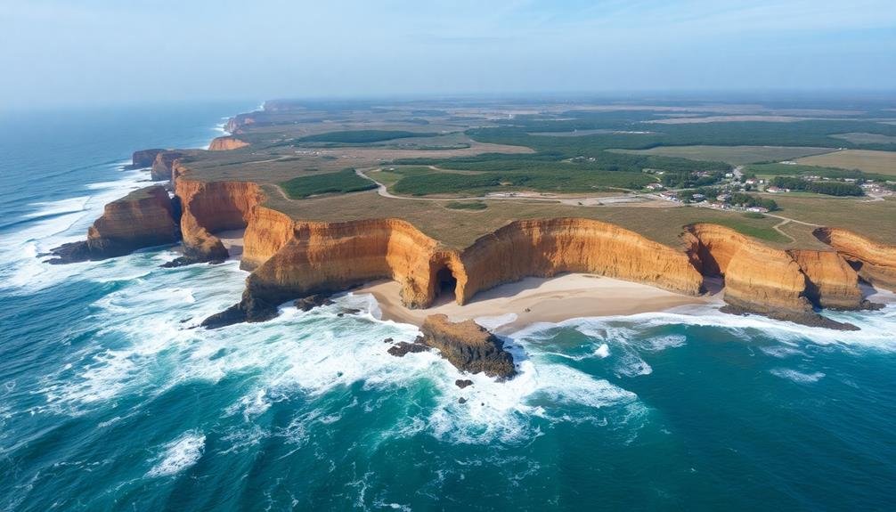
Identifying Erosion Hotspots
Coastal erosion poses a significant threat to shoreline stability and nearby infrastructure. To effectively manage this issue, you'll need to identify erosion hotspots along the coastline. These are areas experiencing accelerated erosion rates, often due to a combination of natural processes and human activities.
By using aerial and satellite imagery, you can pinpoint these vulnerable locations quickly and accurately. Look for signs of rapid shoreline retreat, such as exposed tree roots, collapsing cliffs, or narrowing beaches.
You'll also want to pay attention to areas with inadequate coastal defenses or those facing increased wave action.
Once you've identified erosion hotspots, you can prioritize your conservation efforts and allocate resources more efficiently. This might involve implementing erosion control measures, such as beach nourishment or constructing seawalls.
You'll also need to contemplate long-term strategies, like managed retreat or zoning changes, to protect coastal communities and ecosystems.
Regular monitoring of these hotspots will help you track the effectiveness of your interventions and adjust your approach as needed.
Assessing Coastal Protection Measures
Effective coastal protection measures are essential for safeguarding shorelines against erosion and flooding. Aerial monitoring plays a vital role in evaluating the performance and effectiveness of these measures. You'll be able to analyze both natural and engineered coastal protection strategies from above, gaining valuable insights into their impact on shoreline stability.
From the air, you can observe:
- Seawalls and breakwaters stretching along the coastline, their surfaces gleaming in the sunlight
- Lush mangrove forests with their intricate root systems acting as natural barriers
- Newly constructed artificial reefs submerged just beneath the water's surface
Aerial imagery allows you to track changes in beach profiles, dune systems, and vegetation cover over time. You'll identify areas where protection measures are successful and spots that may require additional intervention.
By comparing current data with historical records, you can evaluate long-term trends and the overall effectiveness of coastal management strategies.
You'll also spot potential weak points in existing structures, enabling proactive maintenance and preventing costly failures. This bird's-eye view helps you make informed decisions about future coastal protection investments and adaptations to climate change impacts.
Identifying Pollution Sources
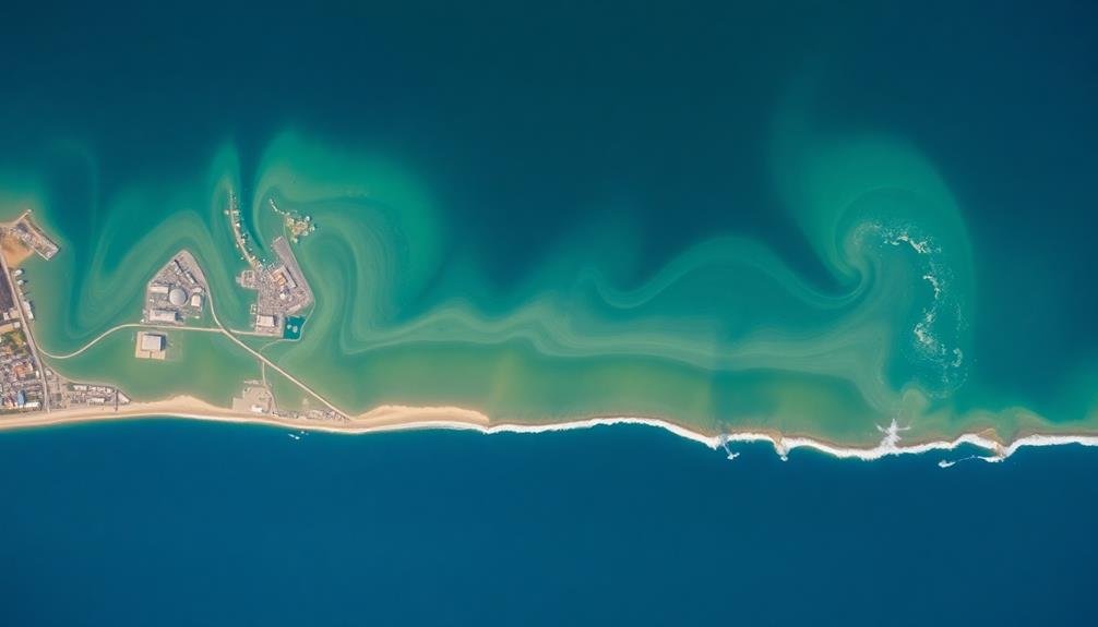
Numerous pollution sources threaten coastal ecosystems, making their identification essential for effective monitoring and protection. From above, you can spot various pollution sources that may not be visible from the ground.
You'll be able to identify industrial discharge points, agricultural runoff, and urban stormwater outfalls. These sources often appear as discolored plumes or distinct patterns in the water.
Aerial monitoring also helps you detect oil spills, which appear as shiny slicks on the water's surface. You can track their spread and estimate their impact on coastal habitats.
Additionally, you'll be able to spot illegal dumping sites, both on land and at sea, which might otherwise go unnoticed.
Studying Animal Behavior Patterns
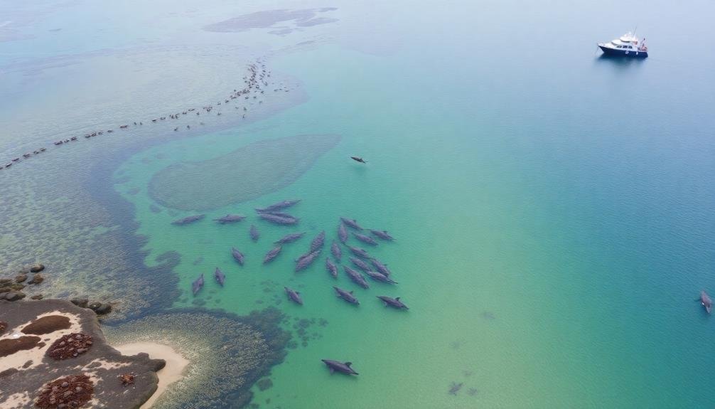
Aerial observation provides a unique vantage point for studying animal behavior patterns in coastal ecosystems. You'll gain valuable insights into how various species interact with their environment and each other. From above, you can track migration routes, feeding habits, and breeding grounds without disturbing the natural balance.
When you observe from the air, you'll notice patterns that aren't visible from the ground. You can identify large-scale movements of marine mammals, seabirds, and fish schools. This broader perspective allows you to understand the ecosystem's dynamics and how different species use coastal habitats throughout the year.
Aerial monitoring also helps you detect changes in behavior that might indicate environmental stressors or shifts in resource availability. You'll be able to spot unusual gatherings, alterations in feeding patterns, or unexpected migrations that could signal potential threats to the ecosystem's health.
- Pods of dolphins surfing the waves in perfect synchronization
- Flocks of seabirds diving en masse into shimmering schools of fish
- Sea turtles leaving distinctive tracks on moonlit beaches as they nest
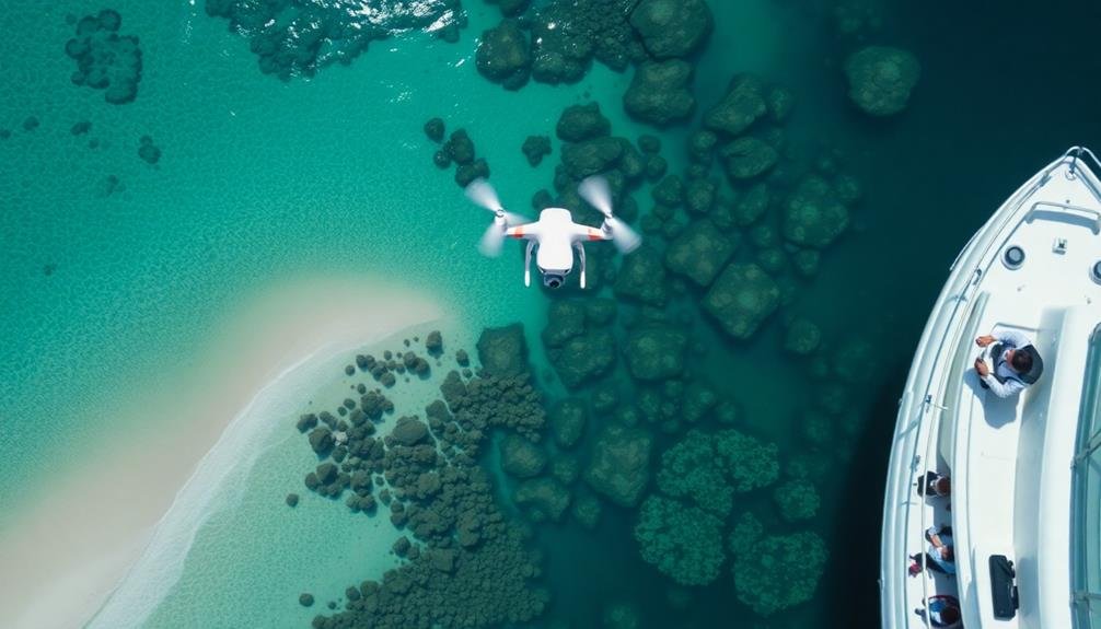
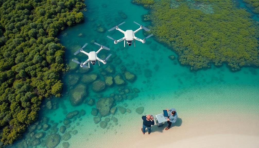
Efficient Large-Scale Data Collection
While traditional methods can be time-consuming, aerial monitoring revolutionizes large-scale data collection in coastal ecosystems.
You'll find that drones, satellites, and aircraft equipped with advanced sensors can cover vast areas in a fraction of the time it takes ground-based teams. These tools allow you to gather data on water quality, vegetation health, erosion patterns, and wildlife populations efficiently and consistently.
You can use multispectral and hyperspectral cameras to capture detailed images across various light wavelengths, revealing information invisible to the naked eye.
LiDAR technology enables you to create precise 3D maps of coastal topography, tracking changes over time. Thermal sensors help you detect temperature variations in water bodies and identify pollution sources.
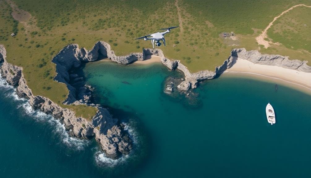
Accessing Remote or Dangerous Areas
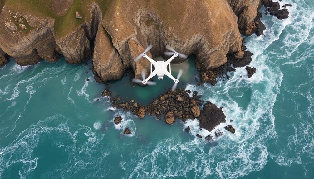
Coastal ecosystems' remote or hazardous areas often pose significant challenges for researchers. You'll find that aerial monitoring provides a safer and more efficient way to access these locations. By using drones, satellites, or manned aircraft, you can observe areas that are difficult or dangerous to reach on foot or by boat. This approach allows you to gather data from steep cliffs, treacherous shoals, or storm-battered coastlines without risking personal safety.
When you monitor from above, you'll gain insights into:
- Isolated mangrove forests teeming with wildlife, their tangled roots disappearing into murky waters
- Jagged rocky outcrops pounded by relentless waves, home to resilient marine life
- Vast, shifting sandbars that change shape with each passing tide
You'll also be able to track changes in these hard-to-reach areas over time, detecting shifts in vegetation patterns, erosion rates, or wildlife populations. This all-encompassing view helps you understand the complex dynamics of coastal ecosystems without the limitations of ground-based observations.
Enhancing Conservation Strategies
Over the years, effective conservation strategies have become increasingly essential for protecting coastal ecosystems. By monitoring these areas from above, you'll gain valuable insights that can greatly enhance your conservation efforts. You'll be able to identify threats more quickly, such as pollution sources, habitat destruction, or invasive species, allowing you to take swift action.
Aerial monitoring provides you with a thorough view of ecosystem health, enabling you to prioritize areas that need immediate attention. You can track changes in vegetation cover, shoreline erosion, and wildlife populations over time, helping you assess the effectiveness of your current conservation measures. This data allows you to make informed decisions about resource allocation and adjust your strategies as needed.
Moreover, you'll be able to detect early warning signs of ecosystem stress, such as algal blooms or coral bleaching events. By catching these issues early, you can implement preventive measures before they escalate.
Aerial monitoring also helps you identify potential corridors for wildlife movement and areas suitable for habitat restoration, allowing you to develop more targeted and effective conservation plans.
Cost-Effective Ecosystem Management
Although managing coastal ecosystems can be resource-intensive, aerial monitoring offers a cost-effective solution for ecosystem management. You'll find that using drones or satellite imagery can greatly reduce the need for on-the-ground personnel and equipment. This approach allows you to cover vast areas quickly, saving time and money while still gathering essential data.
By implementing aerial monitoring, you're able to:
- Detect changes in vegetation patterns
- Identify areas of erosion or coastal degradation
- Spot potential pollution sources or habitat disruptions
You'll also benefit from the ability to conduct frequent surveys without disturbing sensitive habitats. This non-invasive method helps you track ecosystem health over time, allowing for more informed decision-making.
With aerial monitoring, you can allocate resources more efficiently, focusing on areas that require immediate attention.
Additionally, you'll find that the data collected through aerial monitoring can be easily shared among stakeholders, fostering collaboration and streamlining conservation efforts. By adopting this cost-effective approach, you're not only saving money but also improving the overall effectiveness of your ecosystem management strategies.
Frequently Asked Questions
What Equipment Is Typically Used for Aerial Coastal Ecosystem Monitoring?
You'll typically use drones, satellites, and manned aircraft for aerial coastal ecosystem monitoring. These tools are equipped with cameras, LiDAR sensors, and multispectral imaging devices to capture detailed data on coastal environments from above.
How Often Should Aerial Surveys Be Conducted for Effective Ecosystem Monitoring?
You'll want to conduct aerial surveys at least annually, but more frequent monitoring may be necessary. It depends on your specific ecosystem, research goals, and any ongoing threats or changes you're tracking. Adjust your schedule accordingly.
Are There Legal Restrictions on Flying Drones for Coastal Ecosystem Monitoring?
You'll need to check local regulations, as drone laws vary by location. Generally, you'll require permits for commercial use and must follow airspace restrictions. Don't forget to respect wildlife and privacy when conducting coastal ecosystem monitoring.
How Does Weather Affect the Accuracy of Aerial Coastal Monitoring?
Weather considerably impacts your aerial coastal monitoring accuracy. You'll face challenges with wind, rain, and cloud cover. They'll affect image quality, data collection, and drone stability. You should plan flights during ideal weather conditions for best results.
Can Aerial Monitoring Detect Underwater Ecosystem Changes in Coastal Areas?
Yes, you can detect underwater ecosystem changes through aerial monitoring. It'll show you water color variations, seagrass coverage, and coral reef health. You'll also spot algal blooms and sediment plumes that impact coastal ecosystems.
In Summary
You've seen how aerial monitoring revolutionizes coastal ecosystem management. It's a game-changer, offering unparalleled advantages in data collection, wildlife observation, and habitat assessment. You'll minimize disturbance while maximizing efficiency and reach. By embracing this bird's-eye view, you're empowering conservation efforts and improving ecosystem understanding. Don't underestimate the power of this perspective – it's your key to more effective, informed, and cost-efficient coastal ecosystem management. Take flight and transform your approach today.
As educators and advocates for responsible drone use, we’re committed to sharing our knowledge and expertise with aspiring aerial photographers.


Leave a Reply