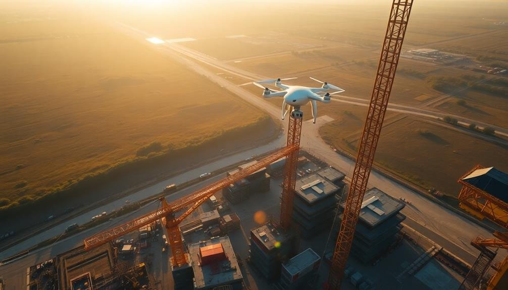
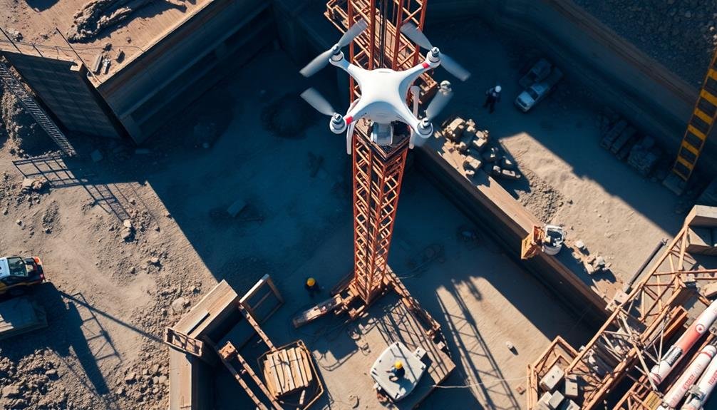
Monitoring building sites from above provides you with a game-changing perspective on construction management. You'll enhance safety measures, track project progress in real-time, and create accurate site documentation. It's a cost-effective and time-efficient approach that allows for quick identification of potential issues and streamlined communication. You can assess environmental impacts, analyze erosion rates, and identify pollution sources more effectively. This aerial view improves stakeholder communication by offering clear, visual updates on project progress. By embracing this technology, you'll reveal a wealth of benefits that can revolutionize your construction practices.
Enhanced Safety Measures
Safety officers play an essential role in implementing enhanced safety measures on building sites. By monitoring from above, you'll gain a thorough view of the entire site, allowing you to identify potential hazards quickly.
You can spot workers who aren't following safety protocols, such as not wearing proper protective equipment or working in unsafe areas. This aerial perspective also helps you detect structural issues, unstable scaffolding, or improperly secured materials that might pose risks to workers below.
You'll be able to track the movement of heavy machinery and confirm it's being operated safely and efficiently. Overhead monitoring allows you to assess traffic flow within the site, reducing the risk of collisions or accidents involving vehicles and pedestrians.
You can also identify areas where additional safety measures are needed, such as installing guardrails or improving lighting.
Real-Time Project Progress Tracking
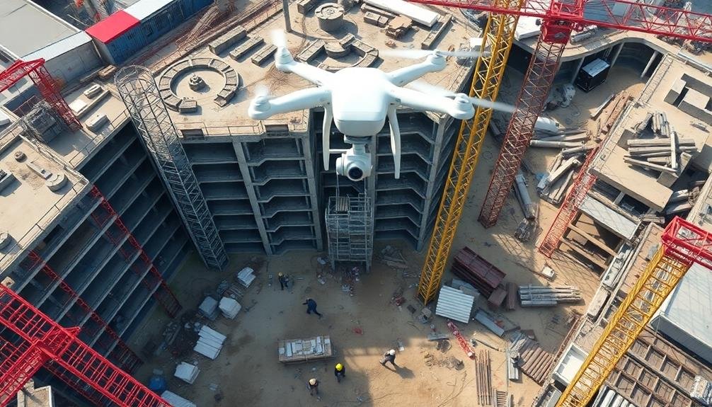
Countless project managers have discovered that aerial monitoring provides unparalleled advantages for real-time project progress tracking.
With drones and satellite imagery, you can get a bird's-eye view of your construction site, allowing you to assess progress accurately and efficiently.
You'll be able to compare current site conditions with your project plans, identifying any discrepancies or delays quickly. This real-time data enables you to make informed decisions and adjustments on the fly, keeping your project on schedule and within budget.
Aerial monitoring also helps you track material usage and inventory. You can easily spot stockpiles, estimate quantities, and guarantee proper material allocation across the site. This level of oversight reduces waste and prevents costly shortages or overages.
Moreover, you can use the aerial footage to create time-lapse videos, showcasing the project's progress to stakeholders and clients. This visual representation not only impresses but also helps in maintaining transparency and trust.
Accurate Site Documentation
Building on the benefits of real-time progress tracking, aerial monitoring also revolutionizes site documentation. You'll find that drones and satellite imagery provide thorough, accurate records of your construction site at various stages. These high-resolution images and videos offer an unparalleled level of detail, allowing you to document every aspect of the project from start to finish.
With aerial monitoring, you can create a visual timeline of your project's progress. This documentation serves multiple purposes, including:
| Purpose | Benefit | Application |
|---|---|---|
| Legal Protection | Evidence in disputes | Contract compliance |
| Quality Control | Identifying issues | Improvements in processes |
| Historical Record | Project portfolio | Marketing and future bids |
You'll appreciate the ability to easily share this documentation with stakeholders, clients, and team members. It's an invaluable tool for communication and transparency. Additionally, the accuracy of aerial documentation reduces the risk of errors in reporting and helps you make informed decisions throughout the project lifecycle. By maintaining a detailed visual record, you're safeguarding your project's integrity and creating a valuable resource for future reference and analysis.
Cost and Time Efficiency
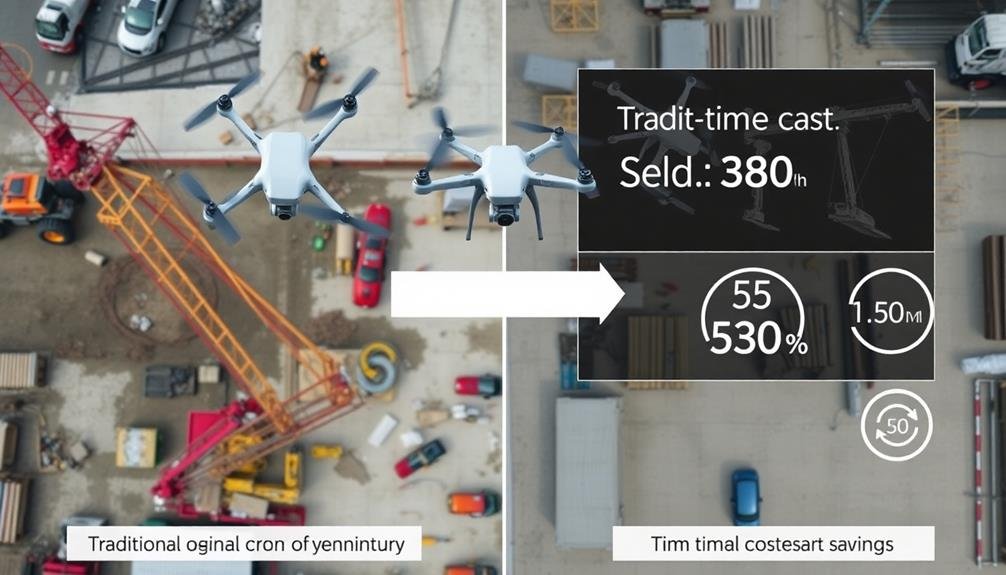
Numerous construction managers are discovering that aerial monitoring greatly reduces both costs and time on building sites. You'll find that using drones or satellite imagery for site surveillance can greatly cut down on the need for frequent in-person inspections. This means fewer staff hours spent on-site and reduced transportation costs.
You can quickly identify potential issues or delays from aerial views, allowing for faster problem-solving and decision-making. This proactive approach helps prevent costly mistakes and keeps your project on schedule. Additionally, you'll save time by creating accurate, up-to-date site maps and progress reports with ease.
By implementing aerial monitoring, you'll streamline your communication processes. You can share real-time imagery and data with stakeholders, subcontractors, and team members, reducing the need for time-consuming meetings and site visits. This improved collaboration leads to faster project completion and fewer misunderstandings.
Moreover, you'll benefit from enhanced resource management. Aerial views allow you to optimize the placement of equipment, materials, and personnel, minimizing wasted time and effort. This efficiency translates directly into cost savings and improved productivity across your entire building site.
Environmental Impact Assessment
You'll find that environmental impact assessment is essential for responsible construction.
Through habitat disruption monitoring, erosion and runoff detection, and pollution source identification, you can minimize your project's ecological footprint.
These assessments help you comply with regulations and protect local ecosystems while progressing with your building plans.
Habitat Disruption Monitoring
Frequently, construction projects have significant impacts on local ecosystems. Monitoring habitat disruption from above allows you to assess and mitigate these effects more effectively. You'll gain a thorough view of how construction activities alter the landscape and affect wildlife habitats.
Aerial monitoring helps you track changes in vegetation cover, identify fragmentation of natural areas, and detect alterations to water bodies. You can observe animal movement patterns and spot potential barriers to migration routes. This bird's-eye perspective enables you to pinpoint areas of concern quickly and adjust your construction plans accordingly.
You'll be able to document the before, during, and after states of the site, providing valuable data for environmental impact assessments. This information helps you comply with regulations and demonstrate your commitment to responsible development.
By using drones or satellite imagery, you can access hard-to-reach areas and minimize on-the-ground disturbances during the monitoring process. Real-time aerial monitoring also allows you to respond swiftly to unexpected habitat changes, implementing protective measures or modifying construction activities as needed.
This proactive approach helps you balance development goals with environmental conservation efforts.
Erosion and Runoff Detection
Construction activities can markedly alter local topography and drainage patterns, making erosion and runoff detection essential for environmental impact assessments. By monitoring building sites from above, you'll gain valuable insights into potential erosion issues and runoff concerns.
Aerial surveys allow you to identify areas prone to soil loss, track sediment movement, and assess the effectiveness of erosion control measures. You'll be able to detect early signs of erosion, such as rill formation or gully development, before they become severe problems.
This proactive approach enables you to implement timely mitigation strategies, reducing environmental impact and avoiding costly remediation efforts. Additionally, you can monitor the performance of stormwater management systems, ensuring they're functioning as designed to prevent excessive runoff and protect nearby water bodies.
Aerial monitoring offers several advantages for erosion and runoff detection:
- Provides a thorough view of the entire site, allowing for efficient identification of problem areas
- Enables frequent and consistent monitoring, facilitating the tracking of changes over time
- Offers high-resolution imagery and data, allowing for detailed analysis and precise measurements of erosion rates and sediment transport
Pollution Source Identification
From within and around construction sites, various pollution sources can emerge, potentially impacting the surrounding environment. Aerial monitoring allows you to identify these sources quickly and accurately. You'll be able to spot fuel spills, chemical leaks, and improper waste disposal from a bird's-eye view. This perspective helps you pinpoint the exact locations of pollutants and track their spread.
You can use drones or satellite imagery to detect changes in water color, indicating potential contamination in nearby water bodies. You'll also be able to identify dust emissions from construction activities, helping you assess air quality impacts. By monitoring vehicle movements and material storage areas, you can identify potential sources of particulate matter and hazardous substances.
Thermal imaging cameras mounted on drones can help you detect hidden pollution sources, such as underground leaks or unauthorized burning activities. You'll be able to track the movement of pollutants over time, allowing for swift intervention and mitigation efforts.
This thorough approach to pollution source identification enables you to comply with environmental regulations, minimize ecological damage, and maintain good relations with surrounding communities.
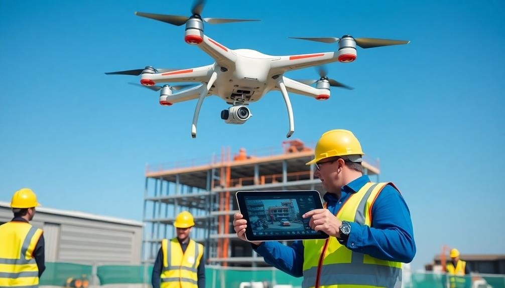
Improved Stakeholder Communication
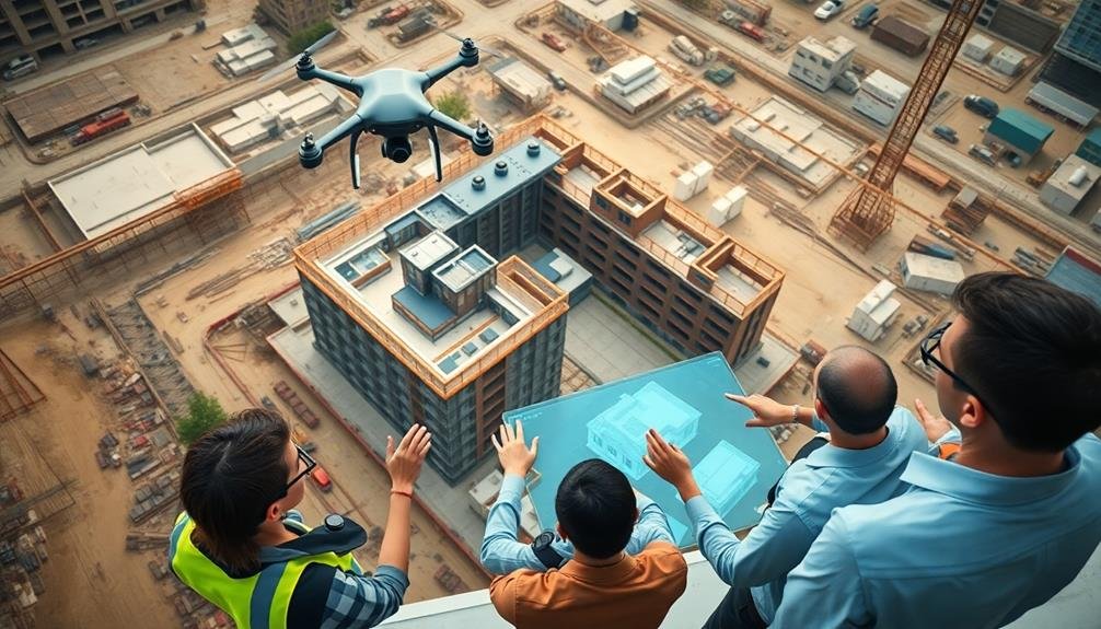
Effective stakeholder communication is a cornerstone of successful building site monitoring. By utilizing aerial monitoring, you'll enhance your ability to keep all parties informed and engaged throughout the construction process. You can easily share high-resolution images and videos with clients, contractors, and regulatory bodies, providing a clear and thorough view of the project's progress.
Aerial monitoring allows you to:
- Generate regular, visually appealing updates for stakeholders
- Quickly address concerns or questions with real-time data
- Demonstrate compliance with regulations through visual evidence
You'll find that this improved communication leads to increased trust and transparency among all parties involved. It's easier to convey complex information when you have visual aids at your disposal, and aerial monitoring provides just that.
By sharing bird's-eye views of the site, you can help stakeholders better understand the project's scope, timeline, and challenges.
Moreover, you'll be able to streamline decision-making processes by providing accurate, up-to-date information to all relevant parties. This enhanced communication can help prevent misunderstandings, reduce delays, and ultimately contribute to the project's overall success.
Frequently Asked Questions
What Types of Drones Are Best for Construction Site Monitoring?
You'll want to evaluate quadcopter drones for construction site monitoring. They're versatile, stable, and easy to maneuver. Look for models with high-resolution cameras, long flight times, and obstacle avoidance features for ideal performance and safety.
How Do Weather Conditions Affect Aerial Monitoring of Building Sites?
Weather conditions greatly impact your aerial monitoring efforts. You'll face challenges with wind, rain, and extreme temperatures. They can affect drone stability, image quality, and flight duration. Always check forecasts and adjust your monitoring schedule accordingly.
Are There Legal Restrictions on Flying Drones Over Construction Areas?
Yes, there are legal restrictions on flying drones over construction sites. You'll need to comply with local regulations, obtain necessary permits, and follow FAA guidelines for commercial drone use in urban areas. Always check current laws before flying.
Can Aerial Monitoring Detect Potential Structural Issues During Construction?
You can use aerial monitoring to detect potential structural issues during construction. It'll help you spot alignment problems, material defects, or safety hazards that aren't visible from the ground. This early detection can prevent costly mistakes.
How Does Aerial Monitoring Integrate With Building Information Modeling (Bim) Systems?
You'll find aerial monitoring integrates seamlessly with BIM systems. It provides real-time data that can be directly incorporated into your 3D models, enhancing accuracy and allowing you to track progress and identify issues more effectively.
In Summary
You've seen how monitoring building sites from above offers numerous advantages. By embracing this technology, you'll enhance safety, track progress in real-time, and document your site accurately. You'll save time and money while evaluating environmental impacts more effectively. Don't forget the improved communication with stakeholders. It's clear that aerial monitoring is a game-changer for construction projects. Consider implementing it to stay ahead in the competitive construction industry.
As educators and advocates for responsible drone use, we’re committed to sharing our knowledge and expertise with aspiring aerial photographers.


Leave a Reply