You'll find three powerful visual techniques for tracking construction site progress: aerial photography and videography, 3D mapping and modeling, and time-lapse drone imagery. Drones equipped with high-resolution cameras provide extensive bird's-eye views, enabling regular site surveys and safety inspections. 3D mapping creates detailed digital twin models, facilitating virtual walkthroughs and clash detection. Time-lapse drone imagery combines aerial photography with time-lapse techniques for thorough visual records of project evolution. These methods enhance safety, improve oversight, and streamline decision-making processes. By leveraging these cutting-edge technologies, you'll gain unparalleled insights into your construction project's progress and efficiency. Discover how these techniques can revolutionize your site management approach.
Aerial Photography and Videography
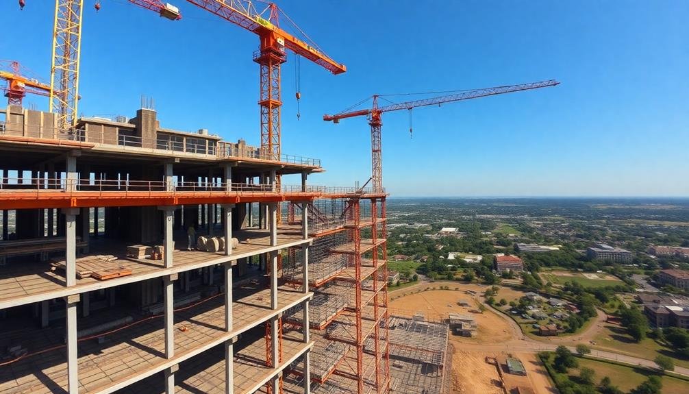
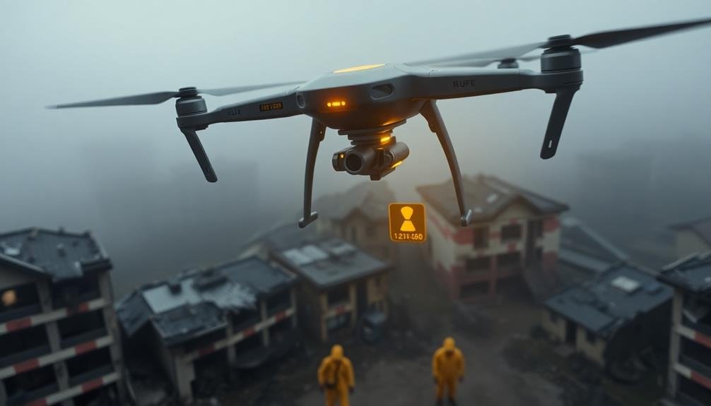
Drones have revolutionized aerial photography and videography for construction site tracking. You'll find these unmanned aerial vehicles equipped with high-resolution cameras, providing a bird's-eye view of your entire project. They can capture detailed images and videos of your site's progress, allowing you to monitor work from multiple angles and elevations.
You can use drones to conduct regular site surveys, creating time-lapse footage that showcases your project's evolution. This visual data helps you identify potential issues, track material usage, and verify subcontractor work.
You'll also benefit from improved safety inspections, as drones can access hard-to-reach areas without putting workers at risk.
When implementing drone technology, you'll need to evaluate factors such as flight regulations, weather conditions, and data management. You should invest in software that can process and analyze the aerial imagery, extracting valuable insights for project management.
Remember to train your team on drone operation and data interpretation to maximize the benefits of this technology.
3D Mapping and Modeling

The next frontier in visual construction site tracking is 3D mapping and modeling. This technology allows you to create detailed, three-dimensional representations of your construction site, offering a level of insight that 2D images simply can't match.
You'll use specialized equipment like LiDAR scanners or photogrammetry techniques to capture the site's geometry. These tools collect millions of data points, which are then processed into a highly accurate 3D model. This model serves as a digital twin of your site, updating as construction progresses.
With 3D mapping, you can conduct virtual walkthroughs, measure distances and volumes precisely, and identify potential clashes or issues before they become problems on-site. It's particularly useful for comparing as-built conditions to design plans, ensuring everything's on track.
You'll find 3D models invaluable for communication with stakeholders. They provide a clear, intuitive representation of the project's status, making it easier to discuss progress, changes, and potential challenges.
Additionally, these models can be integrated with project management software, enhancing your ability to track timelines, resources, and overall project health.
Time-Lapse Drone Imagery
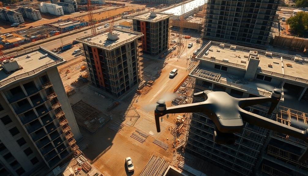
Innovation in visual site tracking takes flight with time-lapse drone imagery. You'll find this technique combines the power of aerial photography with the insights of time-lapse footage. By deploying drones to capture images at regular intervals, you're able to create a thorough visual record of your construction project's progress.
Here's how time-lapse drone imagery can benefit your site tracking:
| Benefit | Description | Impact |
|---|---|---|
| Thorough Coverage | Captures entire site | Improved oversight |
| Reduced Safety Risks | Minimizes on-site personnel | Enhanced safety |
| Cost-Effective | Less equipment needed | Budget savings |
| Time-Efficient | Quick data collection | Faster decision-making |
| High-Quality Visuals | 4K+ resolution | Detailed analysis |
You'll need to plan your drone flights carefully, considering factors like weather conditions, flight paths, and image capture frequency. It's essential to comply with local regulations and obtain necessary permissions. Once you've collected your imagery, you can use specialized software to stitch the photos together, creating a smooth time-lapse video. This visual representation allows you to easily identify progress, detect delays, and make informed decisions about resource allocation and scheduling.
Frequently Asked Questions
How Do Visual Techniques Impact Project Budgeting and Cost Estimation?
You'll find visual techniques greatly enhance project budgeting and cost estimation. They provide accurate, real-time data on progress, allowing you to identify potential overruns early. This enables better resource allocation and more precise financial forecasting.
What Are the Legal Considerations When Implementing Visual Progress Tracking Methods?
You'll need to take into account privacy laws, data protection regulations, and worker consent when implementing visual tracking. Make certain you're complying with local labor laws and union agreements. Don't forget about potential liability issues related to surveillance.
How Can Visual Data Be Integrated With Existing Project Management Software?
You can integrate visual data into existing project management software by using APIs, custom integrations, or plugins. You'll need to verify data formats are compatible and that your software supports visual data import and analysis features.
What Training Is Required for Staff to Effectively Use Visual Tracking Techniques?
You'll need training in visual data collection, analysis software, and interpretation techniques. It's vital to learn how to use cameras, drones, and 3D scanners effectively. You should also understand how to integrate visual data with project management systems.
How Do Weather Conditions Affect the Reliability of Visual Progress Tracking?
Weather can considerably impact your visual progress tracking. You'll face challenges with poor visibility during rain or fog. Bright sunlight might cause glare, while snow can obscure site details. Adjust your methods and schedule accordingly for reliable results.
In Summary
You've now explored three powerful visual techniques for tracking construction site progress. By incorporating aerial photography, 3D mapping, and time-lapse drone imagery into your project management, you'll gain invaluable insights and improve communication. These methods offer a bird's-eye view of your site, allowing you to spot issues quickly and make informed decisions. Don't hesitate to embrace these technologies – they'll revolutionize how you monitor and showcase your construction projects.
As educators and advocates for responsible drone use, we’re committed to sharing our knowledge and expertise with aspiring aerial photographers.
Leave a Reply