
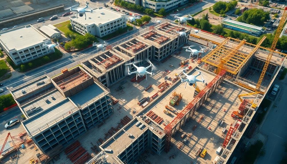
Drones can reveal a wealth of information about construction site changes. They'll provide you with high-resolution aerial mapping and real-time progress monitoring, allowing you to track structural modifications and detect safety hazards quickly. You'll be able to measure material stockpiles accurately, optimize workforce distribution, and identify scheduling discrepancies. Drones also enable precise comparisons between as-built conditions and design plans, enhancing communication with stakeholders through visual updates. By leveraging drone technology, you'll gain thorough insights into site changes, from earthwork progress to potential risks. Exploring these capabilities further will unveil even more benefits for your construction projects.
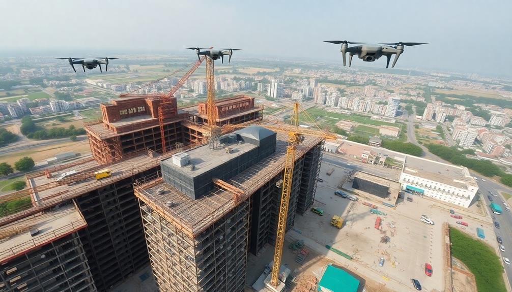
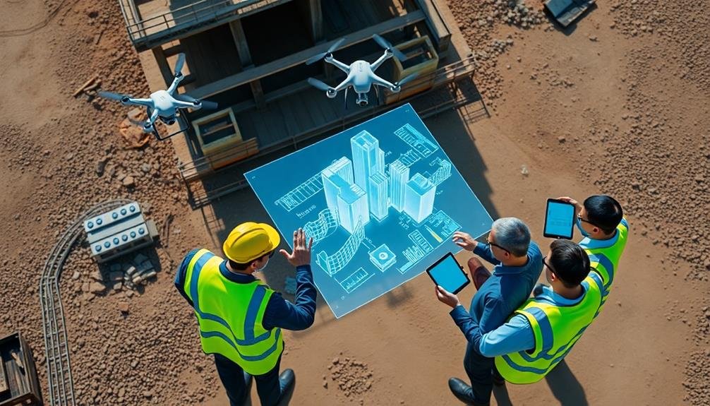
Aerial Mapping of Construction Sites
Countless construction sites are now benefiting from aerial mapping with drones.
You'll find that these unmanned aerial vehicles can quickly capture high-resolution images and data from above, providing a thorough view of your project's progress.
With drone technology, you're able to create detailed 2D and 3D maps of your construction site in a fraction of the time it would take using traditional surveying methods.
Aerial mapping allows you to track changes over time, identify potential issues, and make informed decisions.
You can easily measure distances, calculate volumes, and analyze terrain features with the data collected.
This information proves invaluable for project planning, resource allocation, and quality control.
Real-Time Progress Monitoring
Aerial mapping provides a solid foundation for understanding your construction site, but real-time progress monitoring takes it a step further.
With drones, you can now track changes on your site as they happen, allowing for quick decision-making and problem-solving. You'll be able to spot potential issues before they become major setbacks, saving time and money in the long run.
Real-time monitoring offers several key advantages:
- Increased safety: You can identify hazardous conditions or unsafe practices immediately, reducing the risk of accidents on site.
- Improved communication: Share live footage with stakeholders, enabling remote collaboration and reducing the need for on-site visits.
- Enhanced productivity: Track worker progress and equipment utilization in real-time, allowing for better resource allocation and scheduling.
Identifying Structural Changes
You'll find drones invaluable for identifying structural changes on construction sites through volumetric analysis.
By comparing 3D models generated from drone imagery over time, you can accurately measure changes in building volume and shape.
Additionally, you'll be able to track material movement across the site, ensuring resources are efficiently allocated and construction progresses according to plan.
Volumetric Analysis
Volumetric analysis has emerged as a powerful tool for identifying structural changes on construction sites. With drones equipped with advanced sensors and software, you can now accurately measure and analyze the volume of materials, excavations, and structures. This technology allows you to track progress, identify discrepancies, and make informed decisions in real-time.
By utilizing volumetric analysis, you'll gain valuable insights into your construction project:
- Material management: Accurately measure stockpiles of materials like soil, gravel, or concrete, ensuring you have the right quantities on-site and minimizing waste.
- Excavation monitoring: Track the progress of excavations, comparing actual volumes removed to planned quantities, and identify potential issues early on.
- Structure verification: Compare as-built structures to design plans, detecting deviations in volume and shape that may require attention.
You can use this data to optimize your project schedule, reduce costs, and improve overall efficiency.
Material Movement Tracking
As construction projects progress, tracking the movement of materials across the site becomes essential for identifying structural changes. Drones equipped with high-resolution cameras and GPS technology can help you monitor material movement efficiently. You'll be able to capture detailed aerial imagery and compare it to previous snapshots, allowing you to pinpoint where materials have been relocated or installed.
By utilizing drone footage, you can:
| Benefit | Application | Impact |
|---|---|---|
| Identify discrepancies | Compare actual vs. planned material placement | Improve accuracy and reduce errors |
| Track inventory | Monitor stockpile volumes and locations | Optimize material management |
| Enhance safety | Detect potential hazards from material placement | Reduce workplace accidents |
You'll find that drones provide a thorough view of your construction site, enabling you to spot structural changes that might be difficult to see from ground level. This bird's-eye perspective allows you to track the progress of specific components, such as steel beams, concrete pours, or prefabricated elements. By regularly capturing and analyzing drone imagery, you'll maintain a clear understanding of how your project is evolving and guarantee that materials are being used efficiently and according to plan.
Detecting Safety Hazards
You'll find drones invaluable for detecting safety hazards on construction sites.
They can swiftly identify fall risks by scanning elevated areas, spot equipment malfunctions through thermal imaging, and monitor worker behavior to ascertain compliance with safety protocols.
Identifying Fall Risks
Drones can zero in on potential fall hazards that might otherwise go unnoticed on busy construction sites. You'll find that these aerial devices offer a unique vantage point, allowing for thorough surveys of elevated work areas, unprotected edges, and unstable surfaces.
By utilizing drones, you're able to identify and address fall risks more efficiently and effectively than traditional ground-based inspections.
When you're using drones to identify fall risks, you'll want to focus on:
- Unprotected edges and openings
- Inadequate or improperly installed guardrails
- Unstable scaffolding or temporary structures
You'll discover that drones can capture high-resolution images and videos of these potential hazards, providing you with detailed visual evidence to support your safety assessments.
This technology enables you to spot issues like missing safety nets, damaged fall protection equipment, or unsecured materials at height. By regularly conducting drone inspections, you're able to track changes in fall risk conditions over time, ensuring that safety measures remain effective throughout the project's duration.
Ultimately, you'll find that incorporating drones into your fall risk identification process can greatly enhance your ability to prevent accidents and maintain a safer work environment for all personnel on site.
Spotting Equipment Malfunctions
The ability to spot equipment malfunctions is another essential advantage of using drones on construction sites. You can use these aerial devices to regularly inspect heavy machinery, cranes, and other equipment for signs of wear, damage, or potential failure.
Drones equipped with high-resolution cameras and thermal imaging sensors can detect issues that mightn't be visible to the naked eye. You'll be able to identify overheating components, loose connections, or structural weaknesses in equipment before they lead to accidents or costly breakdowns.
By flying drones close to hard-to-reach areas of machinery, you can perform detailed inspections without putting workers at risk. This approach allows you to catch problems early, schedule preventive maintenance, and avoid unexpected downtime.
Additionally, you can use drones to monitor the performance of equipment in real-time. They can track fuel consumption, operating hours, and productivity levels, helping you optimize your fleet's efficiency.
With this data, you'll make informed decisions about equipment replacement, repairs, and resource allocation. Ultimately, drone-assisted equipment inspections will improve safety, reduce maintenance costs, and increase overall productivity on your construction site.
Monitoring Worker Behavior
Equipped with advanced sensors and cameras, drones offer a powerful tool for monitoring worker behavior and detecting safety hazards on construction sites. You can use these aerial devices to observe workers' adherence to safety protocols, identify potential risks, and guarantee compliance with regulations. By analyzing drone footage, you'll gain valuable insights into your team's performance and areas that need improvement.
Drones allow you to:
- Detect unsafe practices, such as workers not wearing proper protective equipment or engaging in risky behaviors
- Identify bottlenecks or inefficiencies in work processes, helping you optimize productivity
- Monitor restricted areas and guarantee unauthorized personnel don't enter hazardous zones
With real-time monitoring capabilities, you can quickly address safety concerns and prevent accidents before they occur. Drones provide a bird's-eye view of the entire site, allowing you to spot potential hazards that might go unnoticed from ground level.
You'll be able to track worker movements, assess ergonomic risks, and guarantee proper use of equipment. By implementing drone-based monitoring, you're not only enhancing safety but also improving overall site management.
This technology empowers you to make data-driven decisions, streamline operations, and create a safer work environment for your entire team.
Measuring Material Stockpiles

Stockpile measurement has undergone a revolution with the advent of drone technology. You can now accurately assess material volumes on your construction site without the need for time-consuming manual surveys. Drones equipped with high-resolution cameras and LiDAR sensors can quickly capture detailed 3D models of your stockpiles.
These aerial surveys provide you with precise measurements of your aggregate, sand, gravel, or other bulk materials. You'll get accurate volume calculations, helping you manage inventory and plan material usage more effectively.
With drone-based measurements, you can track changes in stockpile volumes over time, allowing you to monitor consumption rates and identify any discrepancies.
You'll also benefit from improved safety, as workers no longer need to climb potentially unstable piles for measurements. The data collected by drones can be easily integrated into your project management software, giving you real-time insights into your material resources.
This technology enables you to optimize your supply chain, reduce waste, and make informed decisions about material orders. By leveraging drone-based stockpile measurements, you'll enhance your site's efficiency and maintain better control over your construction materials.
Tracking Equipment Movement
You'll find drones invaluable for real-time location monitoring of your construction equipment.
Real-Time Location Monitoring
Drone-enabled tracking systems have revolutionized real-time location monitoring on construction sites. You can now pinpoint the exact location of equipment, materials, and personnel with unprecedented accuracy. This technology allows you to optimize resource allocation, enhance safety measures, and improve overall project efficiency.
By integrating drones with GPS and RFID technologies, you're able to create a thorough real-time monitoring system. Here's how it benefits your construction site:
- Increased productivity: You'll reduce downtime by quickly locating equipment and materials, guaranteeing they're always where they need to be.
- Enhanced security: You can set up geofencing alerts to notify you when assets leave designated areas, preventing theft and unauthorized use.
- Improved safety: Real-time monitoring helps you identify potential hazards and guarantee workers are in safe zones, reducing accidents and injuries.
With drone-based real-time location monitoring, you'll have a bird's-eye view of your entire construction site. This allows you to make informed decisions quickly, adjust project timelines as needed, and maintain better control over your resources.
Optimizing Equipment Utilization
Building on the real-time location monitoring capabilities of drones, construction managers can now take equipment utilization to new heights. You'll be able to track the movement of heavy machinery, vehicles, and tools across your construction site with unprecedented accuracy. This aerial perspective allows you to identify underutilized equipment, optimize placement, and streamline workflows.
By analyzing drone footage, you can spot idle machinery and reassign it to areas where it's needed most. You'll reduce downtime and maximize productivity by ensuring that each piece of equipment is always in the right place at the right time. Drones can also help you plan efficient routes for vehicles, minimizing fuel consumption and wear and tear.
You'll gain valuable insights into equipment usage patterns, enabling data-driven decisions about rentals, purchases, and maintenance schedules. By identifying bottlenecks and inefficiencies, you can adjust your equipment allocation strategy to boost overall site productivity.
With drones, you'll have a bird's-eye view of your entire operation, allowing you to make quick, informed decisions that optimize equipment utilization and keep your project on track and within budget.
Analyzing Earthwork and Excavation
Precision in earthwork and excavation analysis has reached new heights with drone technology. You'll find that drones can capture detailed topographic data, allowing you to accurately measure cut and fill volumes, track progress, and identify potential issues before they become costly problems.
With regular drone surveys, you're able to compare site conditions over time, ensuring your project stays on schedule and within budget.
Drones equipped with LiDAR sensors can penetrate vegetation and provide highly accurate terrain models, even in challenging environments. This technology enables you to:
- Calculate exact quantities of materials moved or needed
- Detect erosion and drainage issues early on
- Plan and optimize haul routes for maximum efficiency
You'll appreciate how drone-generated 3D models help you visualize the site from any angle, making it easier to communicate with stakeholders and make informed decisions.
Assessing Environmental Impact
Environmental impact assessment has been revolutionized by drone technology on construction sites. You can now use drones to monitor and evaluate the ecological effects of construction activities with unprecedented accuracy and efficiency.
These aerial devices capture high-resolution images and videos, allowing you to track changes in vegetation, soil erosion, and wildlife habitats over time.
You'll find that drones equipped with multispectral sensors can detect subtle changes in plant health, helping you identify areas where construction activities might be affecting local flora. They can also map water bodies and drainage patterns, enabling you to assess potential impacts on aquatic ecosystems and implement necessary mitigation measures.
By using drones, you're able to conduct regular site inspections without disturbing sensitive habitats or endangering personnel. This non-invasive approach minimizes additional environmental disturbances during the assessment process.
You can also use drone-collected data to create 3D models and time-lapse sequences, providing a thorough view of the site's environmental evolution throughout the construction project.
Ultimately, drone technology empowers you to make more informed decisions about environmental protection and mitigation strategies, ensuring your construction project adheres to sustainability goals and regulatory requirements.
Documenting Site Access Changes
Drones have revolutionized the way you can document site access changes on construction projects. You'll find these aerial tools invaluable for capturing and tracking modifications to entry points, roads, and pathways throughout the construction process.
As your project progresses, you'll need to adjust access routes to accommodate new structures, equipment, and safety requirements.
With drones, you can easily monitor and record these changes in real-time. You'll get high-resolution imagery and video footage that clearly shows the evolution of site access over time. This documentation is essential for:
- Ensuring compliance with safety regulations and site management plans
- Communicating changes to workers, subcontractors, and stakeholders
- Resolving disputes or addressing concerns about site accessibility
You'll appreciate the efficiency of using drones to document site access changes. Instead of relying on time-consuming ground-level surveys, you can quickly capture detailed aerial views.
These images provide context and perspective that's difficult to achieve with traditional methods. You'll be able to identify potential bottlenecks, optimize traffic flow, and plan for future access needs more effectively.
Monitoring Workforce Distribution

On busy construction sites, monitoring workforce distribution is essential for optimizing productivity and ensuring safety. Drones can provide you with a bird's-eye view of your entire site, allowing you to track where workers are concentrated and identify areas that may be understaffed or overcrowded.
You'll be able to spot bottlenecks in real-time and redistribute your workforce accordingly. By analyzing drone footage, you can determine if certain teams are working efficiently or if they need additional support. This data helps you make informed decisions about resource allocation and scheduling.
Drones can also help you monitor worker safety compliance. You'll quickly spot areas where personal protective equipment isn't being used or where workers are venturing into restricted zones. This information enables you to address safety concerns promptly and prevent potential accidents.
Additionally, drone-captured data allows you to track worker movements over time. You can identify patterns in how your workforce navigates the site, helping you optimize pathways and improve overall site logistics.
This insight can lead to more efficient workflows and reduced downtime between tasks, ultimately boosting productivity across your construction project.
Identifying Scheduling Discrepancies
Beyond monitoring workforce distribution, drones play a key role in identifying scheduling discrepancies on construction sites. You'll find that these aerial tools provide real-time data on project progress, allowing you to spot delays or inconsistencies quickly. By comparing drone footage with your project timeline, you can pinpoint areas that aren't keeping pace with expectations.
Drones help you identify scheduling discrepancies in several ways:
- Visual progress tracking: You'll see daily or weekly changes in construction elements, helping you gauge if work is proceeding as planned.
- Automated measurements: Drones can calculate volumes of materials or areas of completed work, allowing you to compare actual progress against scheduled milestones.
- Time-lapse imagery: By compiling drone footage over time, you'll easily spot patterns of slow progress or unexpected delays.
With this information, you're able to address issues promptly, adjusting schedules or reallocating resources as needed.
You'll also improve communication with stakeholders by providing visual evidence of project status. Ultimately, using drones for schedule monitoring enhances your ability to keep projects on track and within budget, reducing the risk of costly overruns or missed deadlines.
Comparing As-Built to Design Plans
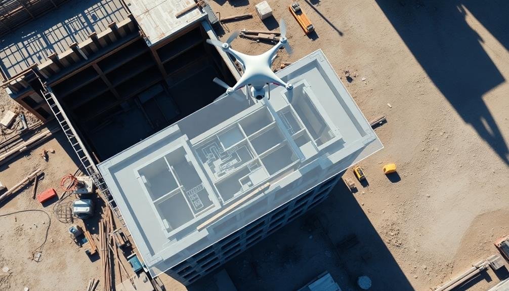
Construction's accuracy hinges on the comparison between as-built conditions and original design plans. Drones offer a game-changing solution for this vital task. You'll find that these aerial devices can capture high-resolution images and precise measurements of your construction site, allowing for detailed comparisons with design specifications.
By utilizing drone technology, you're able to:
| Benefit | Impact |
|---|---|
| Detect discrepancies | Identify deviations early |
| Improve accuracy | Reduce human error |
| Save time | Faster data collection |
| Enhance safety | Minimize on-site inspections |
| Increase efficiency | Streamline project management |
You'll appreciate how drones can quickly survey large areas, providing extensive data on structural elements, dimensions, and placement. This information can be overlaid with original design plans, highlighting any differences. You're then able to address issues promptly, ensuring that the final product aligns closely with the intended design.
Moreover, you'll find that drone-captured data can be easily integrated into Building Information Modeling (BIM) systems, further enhancing your ability to track progress and maintain accuracy throughout the construction process. This seamless integration of as-built data with design plans greatly improves your project outcomes and client satisfaction.
Enhancing Communication With Stakeholders
Effective communication with stakeholders is essential for any construction project's success, and drones are revolutionizing this aspect. You'll find that drone technology provides a powerful tool for keeping all parties informed and engaged throughout the construction process. By capturing high-resolution aerial imagery and videos, you can create visually compelling updates that are easy for stakeholders to understand and appreciate.
You'll be able to enhance your communication with stakeholders in several ways:
- Real-time progress updates: Share drone footage and images to showcase current site conditions and progress, allowing stakeholders to visualize the project's development without visiting the site.
- Virtual site tours: Create immersive 3D models from drone data, enabling remote stakeholders to explore the construction site virtually.
- Issue identification and resolution: Quickly identify and communicate potential problems or delays using drone-captured data, facilitating faster decision-making and problem-solving.
Frequently Asked Questions
How Do Weather Conditions Affect Drone Operations on Construction Sites?
You'll find that weather greatly impacts drone operations on construction sites. Wind can disrupt flight stability, rain affects visibility and equipment, extreme temperatures impact battery life, and lightning poses safety risks. Always check conditions before flying.
What Certifications Are Required for Drone Pilots in Construction Surveying?
You'll need a Remote Pilot Certificate from the FAA to operate drones commercially in construction surveying. It's crucial to pass the Part 107 exam, which covers airspace regulations, weather, and drone operations. Additional state-specific licenses may apply.
Can Drones Be Used for Night-Time Construction Site Monitoring?
Yes, you can use drones for night-time construction site monitoring. They're equipped with thermal cameras and night vision technology, allowing you to detect intruders, check equipment, and monitor progress even in low-light conditions. It's an effective security measure.
How Do Construction Companies Ensure Data Privacy When Using Drones?
You'll need to implement strict data handling policies. Encrypt drone footage, limit access to authorized personnel, and use secure storage systems. Don't share sensitive information, and guarantee your drone operators are trained in privacy regulations and best practices.
What Is the Average Cost of Implementing Drone Technology in Construction Projects?
You'll find the average cost of implementing drone technology in construction projects varies widely. It can range from $2,000 to $50,000+, depending on factors like drone type, sensors, software, training, and project scale.
In Summary
You've seen how drones can revolutionize construction site management. They'll give you unparalleled insights into project progress, safety issues, and resource allocation. You'll catch discrepancies early, improve communication, and make data-driven decisions. By embracing drone technology, you're not just observing your site; you're gaining a powerful tool to optimize efficiency, reduce risks, and guarantee your project stays on track. It's time to elevate your perspective and take your construction management to new heights.
As educators and advocates for responsible drone use, we’re committed to sharing our knowledge and expertise with aspiring aerial photographers.


Leave a Reply