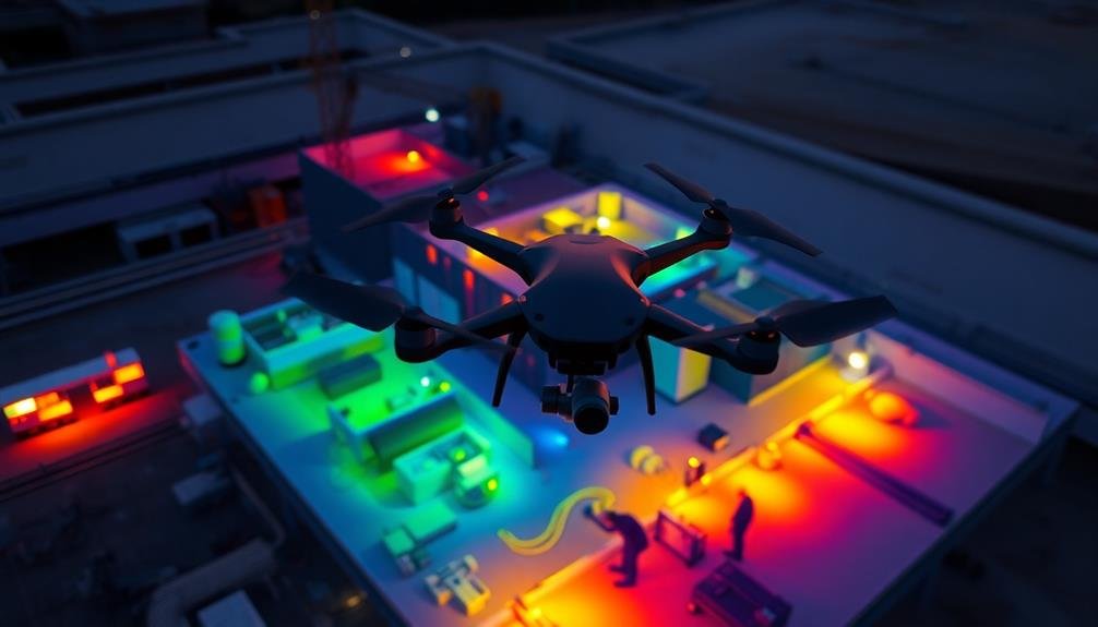
To effectively use drones for environmental monitoring on construction sites, you'll need to follow these key tips: Choose the right drone with adequate flight time and camera quality. Plan your flight paths strategically to maximize coverage and battery life. Optimize camera settings for the best image quality. Establish a regular monitoring schedule to track changes over time. Utilize thermal imaging technology to detect hidden issues. Process and analyze your data efficiently using specialized software. Always comply with local and federal regulations governing drone use. By implementing these strategies, you'll enhance your environmental monitoring efforts and gain valuable insights into your construction site's impact.
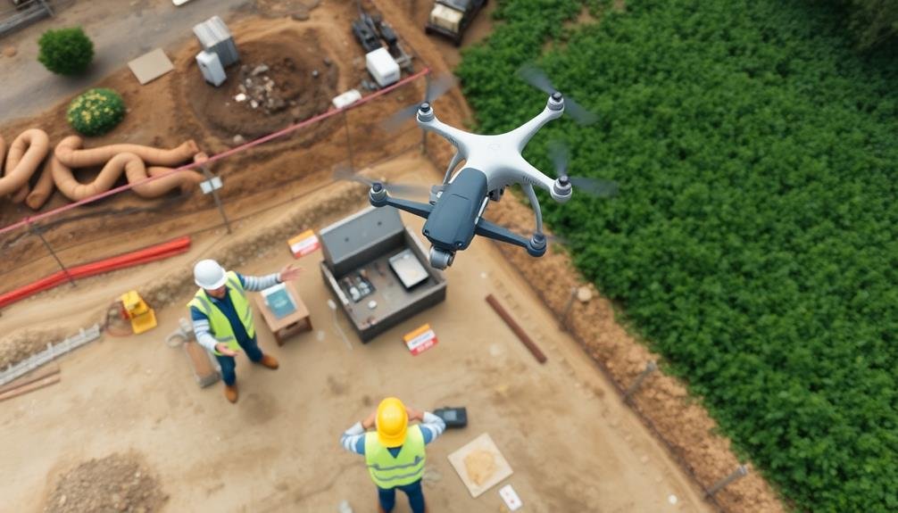
Choose the Right Drone
Selecting the right drone is essential for effective environmental monitoring. Consider factors like flight time, payload capacity, and camera quality when choosing your drone.
For construction sites, you'll need a model that can withstand dust and potential impacts. Look for drones with at least 30 minutes of flight time to cover larger areas efficiently.
Opt for a drone with a high-resolution camera, ideally 4K or better, to capture detailed imagery of the site. Thermal cameras can be useful for detecting heat signatures and identifying potential environmental issues. Make certain your drone has GPS capabilities for accurate mapping and georeferencing of data.
Consider the drone's stability in various weather conditions, as you'll likely be operating in challenging environments. Choose a model with obstacle avoidance technology to prevent collisions with structures or equipment on-site.
Additionally, select a drone with autonomous flight modes, such as waypoint navigation, to streamline your monitoring process.
Plan Flight Paths Strategically
When planning your drone's flight path for environmental monitoring, you'll want to map out key areas of interest to guarantee thorough coverage.
It's vital to optimize your battery life by designing efficient routes that minimize unnecessary travel.
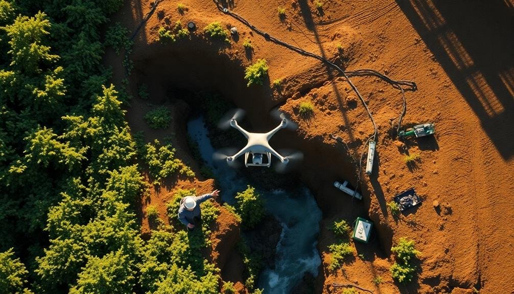
Be sure to avoid sensitive wildlife zones to prevent disturbance, adjusting your flight path as needed to respect natural habitats.
Map Key Environmental Areas
Before launching your drone, it's important to map out key environmental areas and plan your flight paths strategically. Identify sensitive habitats, water bodies, and protected species locations on your construction site. Use satellite imagery, topographic maps, and environmental impact assessments to create a thorough environmental map.
Prioritize areas that require frequent monitoring, such as erosion-prone zones, stormwater management structures, and vegetation buffers. Consider seasonal changes and wildlife migration patterns when planning your drone surveys. Create a grid system over your site map to guarantee systematic coverage during flights.
| Environmental Feature | Monitoring Frequency |
|---|---|
| Wetlands | Weekly |
| Erosion Control | After rainfall |
| Wildlife Corridors | Monthly |
Use your environmental map to program waypoints for your drone's flight path. This guarantees consistent data collection and reduces the risk of missing critical areas. Adjust flight altitudes based on terrain and vegetation cover to capture high-quality imagery. Remember to comply with local regulations regarding drone operations near sensitive areas or wildlife habitats. By mapping key environmental areas and planning your flights accordingly, you'll maximize the efficiency and effectiveness of your drone monitoring program on construction sites.
Optimize Battery Life
Strategic flight path planning not only guarantees thorough environmental monitoring but also maximizes your drone's battery life. To optimize your drone's energy consumption, start by mapping out the most efficient route that covers all key areas of interest.
Consider factors like terrain, obstacles, and wind conditions when planning your flight path. Prioritize areas that require the most attention and plan your route to minimize unnecessary backtracking.
Use a grid or linear pattern to guarantee systematic coverage while reducing energy-intensive maneuvers. When possible, fly downwind on the outbound leg of your mission to conserve power, then return upwind when the battery is lighter.
Take advantage of your drone's automated features, such as waypoint navigation and return-to-home functions, to streamline your flight and reduce pilot fatigue. Monitor battery levels closely throughout the flight and set conservative return-to-home thresholds to guarantee a safe landing.
Consider carrying spare batteries for longer missions or multiple flights in a single day. By optimizing your flight paths and battery management, you'll extend your drone's operational time and gather more extensive environmental data during each mission on your construction site.
Avoid Sensitive Wildlife Zones
Despite the benefits of drone technology for environmental monitoring, it's crucial to prioritize wildlife protection in your flight planning. Before launching your drone, research the area to identify any sensitive wildlife zones, nesting sites, or protected habitats. Consult local wildlife authorities or environmental agencies for up-to-date information on species of concern and their locations.
When planning your flight paths, maintain a safe distance from known wildlife areas. The exact distance may vary depending on local regulations and the specific species present, but a general rule of thumb is to stay at least 100 meters away from any visible wildlife.
Consider seasonal factors, such as migration patterns or breeding seasons, which may affect wildlife sensitivity to disturbances.
To minimize the impact on wildlife, follow these guidelines:
- Fly at higher altitudes when possible to reduce noise and visual disturbance
- Avoid sudden movements or rapid changes in direction that could startle animals
- Limit flight duration and frequency in sensitive areas to minimize prolonged disturbances
If you encounter unexpected wildlife during your flight, immediately increase your altitude or change course to avoid causing stress or altering their behavior.
Optimize Camera Settings
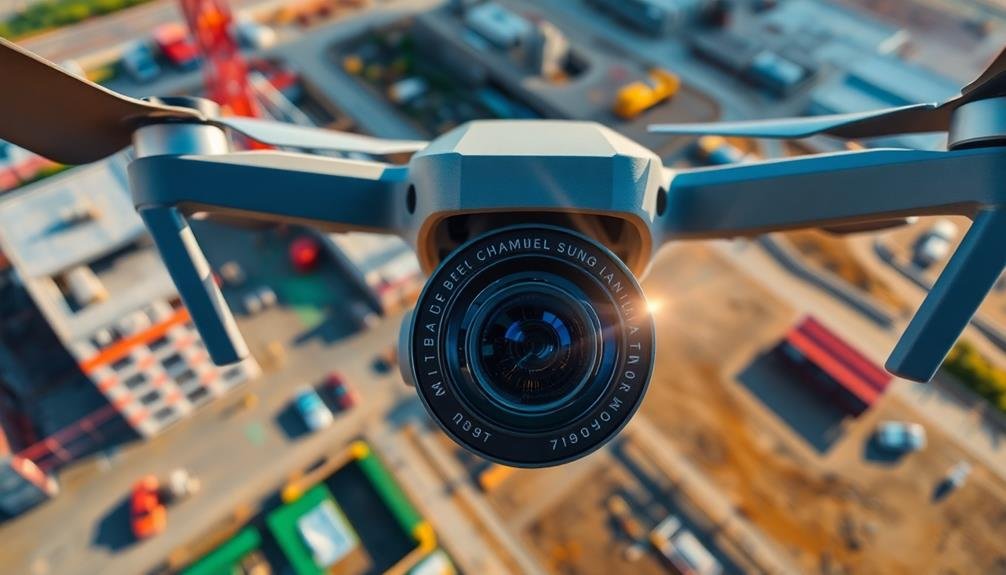
Optimizing your drone's camera settings is essential for capturing high-quality environmental data. Start by selecting the appropriate resolution and frame rate for your monitoring needs. For most environmental surveys, 4K resolution at 30 frames per second offers a good balance between detail and file size.
Adjust your camera's ISO settings to match the lighting conditions, keeping it as low as possible to reduce noise in your footage. Set your drone's white balance to match the environment you're monitoring. Use auto white balance for varied conditions or preset options for specific lighting situations.
Experiment with different picture profiles to enhance contrast and color saturation, but avoid over-processing, as this can lead to loss of important details. When monitoring vegetation, use the camera's histogram to verify you're capturing the full range of greens without overexposing.
For water bodies, polarizing filters can help reduce glare and improve visibility below the surface. Always shoot in RAW format when possible, as it provides more flexibility for post-processing and data analysis.
Monitor at Regular Intervals

Set up consistent flight schedules to guarantee you're capturing data at regular intervals.
By flying your drone over the same areas at predetermined times, you'll be able to track environmental changes more accurately.
This systematic approach allows you to build a thorough dataset that reveals patterns and trends over time.
Establish Consistent Flight Schedules
To maximize the value of environmental monitoring with drones, establishing consistent flight schedules is essential. By following a regular timetable, you'll guarantee that you're capturing data at predictable intervals, allowing for more accurate trend analysis and early detection of potential environmental issues.
Consistent schedules also help you maintain compliance with local regulations and minimize disruptions to construction activities.
When setting up your flight schedules, consider the following factors:
- Project timeline: Align your drone flights with key project milestones and phases
- Seasonal changes: Account for variations in weather, vegetation, and wildlife patterns
- Regulatory requirements: Guarantee compliance with local environmental monitoring standards
Plan your flights at the same time of day whenever possible to maintain consistent lighting conditions for your imagery. This practice will improve the quality and comparability of your data over time.
If you're monitoring multiple sites, create a standardized schedule that covers all locations efficiently. Remember to factor in time for equipment preparation, pre-flight checks, and post-flight data processing.
Track Changes Over Time
Regular monitoring intervals are essential to tracking environmental changes effectively with drones. You'll want to establish a consistent schedule for drone flights to capture data at set intervals. This approach allows you to compare images and data over time, identifying trends and changes in the environment.
When planning your monitoring schedule, consider the specific environmental factors you're tracking. For example, if you're monitoring vegetation growth, you might fly weekly during peak growing seasons and monthly during slower periods. For erosion control, you may need more frequent flights during rainy seasons.
Use your drone's GPS capabilities to guarantee you're capturing data from the same locations each time. This consistency is vital for accurate comparisons. As you collect data, organize it chronologically and by location for easy analysis.
Don't forget to factor in seasonal changes when interpreting your data. What might appear as a concerning change could be a normal seasonal fluctuation.
Leverage Thermal Imaging Technology
Thermal imaging technology opens up a new dimension for environmental monitoring with drones. By detecting heat signatures, you can identify potential environmental issues that aren't visible to the naked eye.
When using thermal imaging drones on construction sites, you'll be able to spot temperature anomalies that could indicate problems like water leaks, insulation defects, or energy inefficiencies.
To make the most of thermal imaging technology:
- Calibrate your thermal camera properly before each flight to guarantee accurate temperature readings.
- Conduct flights during ideal conditions, such as early morning or late evening, to minimize interference from solar radiation.
- Use a combination of visual and thermal imagery to provide context and enhance your analysis.
Remember that thermal data interpretation requires expertise. You'll need to understand how different materials and environmental factors affect heat signatures.
Pay attention to color patterns in the thermal images, as they represent temperature variations. Hot spots may indicate areas of concern, while cool spots could reveal moisture issues or inadequate insulation.
Process and Analyze Data Efficiently

Once you've collected thermal and visual data from your drone flights, the next step is to process and analyze it efficiently. Start by organizing your data into a structured format, using consistent file naming conventions and folder structures. This will save you time when searching for specific information later.
Invest in powerful software designed for drone data analysis. Look for programs that can stitch together multiple images to create orthomosaic maps and 3D models. These tools often come with features like automatic object detection and measurement capabilities, which can streamline your workflow.
Use cloud-based platforms to store and process large datasets. This allows for easier collaboration with team members and provides access to more computing power for complex analyses. Set up automated workflows to process incoming data, reducing manual labor and increasing efficiency.
Implement machine learning algorithms to identify patterns and anomalies in your environmental data. This can help you quickly spot issues like erosion, vegetation stress, or water pollution.
Comply With Regulations
Compliance is essential when operating drones for environmental monitoring. You'll need to familiarize yourself with local, state, and federal regulations governing drone usage on construction sites.
In the United States, the Federal Aviation Administration (FAA) oversees drone operations. Verify you're registered with the FAA and have obtained the necessary certifications, such as a Part 107 license for commercial drone pilots.
Before each flight, check for any temporary flight restrictions in your area and obtain necessary permissions. You'll also need to adhere to specific rules regarding altitude limits, visual line of sight requirements, and no-fly zones.
To stay compliant, follow these key steps:
- Research and understand all applicable regulations
- Maintain accurate flight logs and documentation
- Regularly update your knowledge of changing drone laws
Remember to respect privacy concerns and obtain consent when flying near residential areas.
Be aware of environmental regulations that may impact your monitoring activities, such as protected species or habitats.
Frequently Asked Questions
How Do Weather Conditions Affect Drone Performance During Environmental Monitoring?
Weather conditions greatly impact your drone's performance. You'll face reduced flight time in cold temperatures, stability issues in high winds, and potential damage from rain or snow. Always check forecasts and adjust your monitoring plans accordingly.
What Software Is Best for Analyzing Environmental Data Collected by Drones?
You'll find several excellent options for analyzing drone-collected environmental data. Pix4D and DroneDeploy are popular choices for mapping and modeling. For more specialized analysis, consider ArcGIS or ENVI. Choose software that fits your specific needs and expertise.
Can Drones Detect Specific Pollutants or Contaminants on Construction Sites?
Yes, drones can detect specific pollutants and contaminants on construction sites. You'll need to equip them with specialized sensors. They can identify air pollutants, chemical spills, and even radiation levels, helping you guarantee environmental compliance and safety.
How Long Does It Typically Take to Train Staff in Drone Operations?
You'll find that training staff in drone operations typically takes 1-3 months. It'll depend on the complexity of the drones, regulations, and your team's prior experience. Intensive courses can speed things up, but practice is essential.
Are There Any Special Insurance Requirements for Using Drones in Construction Monitoring?
Yes, you'll need specialized drone insurance for construction monitoring. It typically covers liability, property damage, and equipment. You should also check local regulations and obtain necessary permits. Don't forget to train your operators properly.
In Summary
You've now got the tools to revolutionize environmental monitoring on your construction sites. By implementing these drone tips, you'll enhance efficiency, accuracy, and compliance. Remember, it's not just about flying; it's about strategic planning, data analysis, and staying within legal bounds. Keep refining your techniques, and you'll soon be capturing invaluable insights that'll help protect the environment and streamline your projects. Embrace this technology, and watch your site management soar to new heights.
As educators and advocates for responsible drone use, we’re committed to sharing our knowledge and expertise with aspiring aerial photographers.


Leave a Reply