Unmanned aircraft systems (UAS) revolutionize construction site planning by offering unparalleled aerial perspectives. You'll benefit from enhanced data collection, real-time progress monitoring, and improved safety inspections. These drones provide accurate volumetric measurements, enabling efficient resource allocation and cost-effective project management. With high-resolution imaging and 3D modeling capabilities, you can easily track stockpiles, monitor excavation, and estimate fill requirements. UAS streamline communication with stakeholders, improve worker safety, and optimize resource usage. By integrating drone technology, you'll keep your projects on schedule and within budget. Discover how these aerial marvels can transform your construction site planning process.
Enhanced Aerial Site Surveys
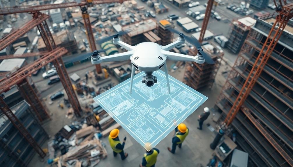
Unmanned aircraft systems (UAS) have revolutionized aerial site surveys for construction projects. They offer you a cost-effective and efficient way to gather thorough site data. With drones, you'll capture high-resolution images and videos of your construction site from various angles and altitudes, providing a detailed overview of the terrain, existing structures, and potential obstacles.
You can use these aerial surveys to create accurate 3D models and topographic maps, which are invaluable for site planning and design. UAS technology allows you to measure distances, calculate volumes, and assess site conditions without setting foot on the ground. This reduces the time and manpower required for traditional surveying methods.
Drones equipped with specialized sensors can also collect data on soil composition, moisture levels, and vegetation cover. You'll use this information to make informed decisions about site preparation, drainage systems, and environmental impact mitigation.
Additionally, UAS surveys can be conducted regularly throughout the construction process, allowing you to monitor progress, identify potential issues, and make timely adjustments to your project plan. This level of oversight enhances project management and helps keep your construction on schedule and within budget.
Real-Time Progress Monitoring
Beyond initial site surveys, drones offer powerful capabilities for real-time progress monitoring on construction sites. You'll be able to track your project's advancement with unprecedented accuracy and frequency.
By deploying drones regularly, you can capture high-resolution images and videos of your entire site, allowing you to compare progress against your planned schedule and identify potential issues before they escalate.
These aerial views provide you with a thorough perspective that's simply impossible to achieve from ground level. You'll spot inefficiencies, safety hazards, and logistical challenges that might otherwise go unnoticed.
In addition, you can easily share this visual data with stakeholders, enhancing communication and transparency throughout the project lifecycle.
The emotional impact of using drones for real-time progress monitoring is significant:
- Pride in seeing your project take shape from a bird's-eye view
- Relief in catching and addressing issues early
- Excitement in showcasing progress to clients and investors
- Confidence in making data-driven decisions
Improved Safety Inspections
You'll find that unmanned aircraft greatly enhance construction site safety inspections.
These drones can quickly identify hazardous areas, allowing you to address potential risks before they escalate.
With remote inspection capabilities, you'll reduce worker exposure to dangerous situations, keeping your team safer while maintaining thorough site assessments.
Identify Hazardous Areas Quickly
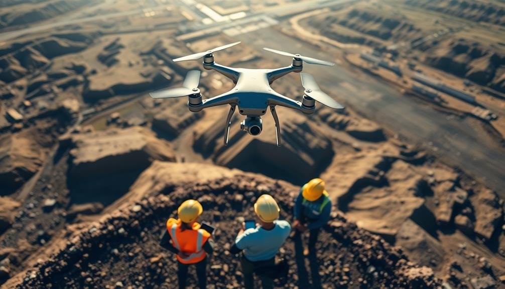
Safety inspectors equipped with drones can quickly identify hazardous areas on construction sites. You'll find that these unmanned aircraft provide a bird's-eye view of the entire project, allowing for rapid detection of potential dangers.
By using drones, you're able to spot issues that might be missed during ground-level inspections, such as unstable structures, fall hazards, or areas with poor lighting.
Drones can access hard-to-reach or dangerous locations without putting workers at risk. You'll appreciate the ability to inspect rooftops, tall structures, and confined spaces safely and efficiently.
With high-resolution cameras and thermal imaging capabilities, drones capture detailed images and videos of potential hazards, enabling you to make informed decisions about site safety.
Using drones for hazard identification offers several emotional benefits:
- Relief knowing that workers are less exposed to dangerous situations
- Confidence in the thoroughness of safety inspections
- Pride in utilizing cutting-edge technology to protect your team
- Peace of mind from addressing potential issues before they escalate
Remote Inspection Capabilities
Efficiency is the hallmark of remote inspection capabilities enabled by unmanned aircraft. You'll find that drones can access hard-to-reach areas of your construction site quickly and safely, providing high-resolution imagery and data for thorough inspections.
These aerial tools allow you to examine rooftops, tall structures, and hazardous zones without putting workers at risk.
With remote inspections, you'll save time and resources. Drones can cover large areas in minutes, capturing detailed visuals that would take hours or days to collect manually.
You'll receive real-time data, enabling faster decision-making and problem-solving on-site.
You can use drones to perform regular safety checks, monitor progress, and assess structural integrity. They're particularly useful for inspecting bridges, towers, and complex building exteriors.
You'll also benefit from thermal imaging capabilities, which can detect heat anomalies, moisture issues, and potential energy inefficiencies.
Reduce Worker Exposure Risks
By deploying unmanned aircraft for safety inspections, you can considerably reduce worker exposure to hazardous conditions on construction sites. Drones equipped with high-resolution cameras and sensors can access hard-to-reach areas, eliminating the need for workers to climb scaffolding or navigate unstable terrain.
You'll be able to conduct thorough inspections of rooftops, tall structures, and confined spaces without putting your team at risk. These unmanned aircraft can quickly identify potential safety hazards, allowing you to address issues before they escalate.
By using drones, you'll:
- Minimize the risk of falls and accidents
- Reduce exposure to harmful substances or materials
- Decrease the likelihood of equipment-related injuries
- Avoid potential encounters with wildlife or pests
You'll also save time and resources by streamlining the inspection process. Instead of setting up complex scaffolding or lifts, you can deploy a drone in minutes.
This efficiency allows for more frequent safety checks, ensuring your site remains compliant with regulations and maintaining a safer work environment. By prioritizing worker safety through the use of unmanned aircraft, you'll boost morale, reduce insurance costs, and enhance your company's reputation in the industry.
Accurate Volumetric Measurements

You'll find that unmanned aircraft revolutionize volumetric measurements on construction sites.
With drones, you can accurately estimate material quantities, simplify cut-and-fill calculations, and track stockpile volumes.
These precise measurements enable better resource management and project planning, ultimately saving time and reducing costs.
Precise Material Quantity Estimation
Through the use of unmanned aircraft, construction managers can now achieve unprecedented accuracy in material quantity estimation. By capturing high-resolution aerial imagery and generating detailed 3D models, drones provide a thorough view of the construction site. This technology allows you to precisely calculate the volume of materials needed, such as soil, gravel, or concrete, reducing waste and optimizing resource allocation.
You'll find that drone-based quantity estimation offers several advantages over traditional methods:
- Time savings: Complete surveys in hours instead of days
- Cost-effectiveness: Reduce labor and equipment expenses
- Safety improvements: Eliminate the need for workers to access dangerous areas
- Increased accuracy: Minimize human error and inconsistencies
With drone technology, you can easily track stockpiles, monitor excavation progress, and estimate fill requirements. The data collected can be seamlessly integrated into your project management software, enabling real-time updates and informed decision-making.
You'll be able to quickly identify discrepancies between planned and actual material quantities, allowing for timely adjustments to prevent costly delays or shortages. By leveraging unmanned aircraft for precise material quantity estimation, you'll improve your project's efficiency, reduce costs, and enhance overall site management.
Cut-And-Fill Calculations Simplified
Drones have revolutionized cut-and-fill calculations in construction site planning. You'll find that these unmanned aircraft provide incredibly accurate volumetric measurements, simplifying the process of determining earthwork requirements. By capturing high-resolution aerial imagery and creating detailed 3D models, drones enable you to visualize terrain changes and calculate material volumes with unprecedented precision.
Here's how drones streamline cut-and-fill calculations:
| Feature | Traditional Method | Drone-Based Method |
|---|---|---|
| Speed | Days or weeks | Hours |
| Accuracy | +/- 5-10% | +/- 1-2% |
| Safety | High risk | Low risk |
| Cost | Expensive | Cost-effective |
| Repeatability | Limited | Easily repeatable |
You'll appreciate the time and cost savings that drone technology brings to your projects. With faster data collection and processing, you can make informed decisions quickly, reducing delays and optimizing resource allocation. The improved accuracy of drone-based measurements also helps you avoid costly overestimates or underestimates of material quantities. Additionally, you'll minimize safety risks by reducing the need for on-site personnel during surveying. Ultimately, incorporating drones into your cut-and-fill calculations will enhance your project efficiency and profitability.
Stockpile Volume Tracking
Building on the efficiency gains in cut-and-fill calculations, unmanned aircraft systems excel in tracking stockpile volumes. You'll find that drones equipped with advanced sensors and photogrammetry software can quickly and accurately measure the volume of materials on your construction site. This capability allows you to monitor inventory levels in real-time, optimize material usage, and reduce waste.
By using drones for stockpile volume tracking, you'll experience:
- Improved safety: No need to climb potentially unstable piles or expose workers to hazardous conditions.
- Time savings: Collect data in minutes rather than hours or days required for manual measurements.
- Cost reduction: Eliminate the need for expensive ground-based surveying equipment and personnel.
- Enhanced accuracy: Achieve precision within 1-2% of actual volumes, surpassing traditional methods.
You can easily integrate drone-collected data into your existing project management software, enabling better decision-making and resource allocation.
With frequent surveys, you'll detect discrepancies between delivered and used materials, preventing theft and identifying potential billing errors. This level of oversight helps you maintain tight control over your project's budget and timeline, ensuring smoother operations and increased profitability.
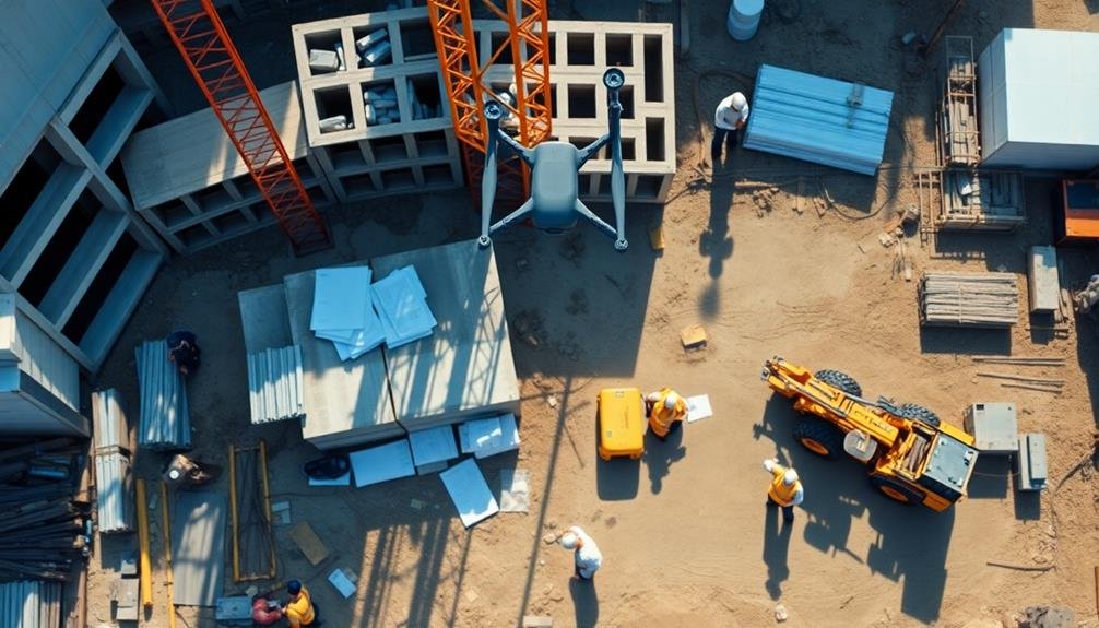
Efficient Resource Allocation

The strategic deployment of unmanned aircraft systems (UAS) on construction sites revolutionizes resource allocation. You'll find that drones provide real-time data on material locations, equipment usage, and workforce distribution. This aerial perspective allows you to optimize your resources efficiently, reducing waste and improving productivity.
With UAS, you can quickly identify bottlenecks in your workflow and redistribute assets accordingly. You'll spot idle equipment or underutilized areas, enabling you to make informed decisions about where to allocate resources. This bird's-eye view also helps you plan material deliveries and storage more effectively, minimizing congestion and potential delays.
Here's how UAS improves resource allocation across different aspects of construction:
| Aspect | Traditional Method | UAS Method | Benefits |
|---|---|---|---|
| Equipment Tracking | Manual checks | Automated aerial surveys | Reduced downtime, optimized usage |
| Material Management | Physical inventory | Real-time aerial monitoring | Better inventory control, reduced waste |
| Workforce Distribution | On-ground supervision | Aerial oversight | Improved productivity, balanced workload |
| Site Layout Planning | 2D drawings | 3D aerial mapping | Enhanced spatial awareness, efficient planning |
Cost-Effective Project Management
By incorporating unmanned aircraft into your construction project management, you'll release significant cost-saving potential. Drones provide real-time data and aerial imagery, allowing you to make informed decisions quickly and efficiently. This technology reduces the need for frequent on-site visits, saving time and travel expenses for project managers and stakeholders.
Unmanned aircraft enable you to:
- Detect potential issues early, preventing costly delays and rework
- Optimize resource allocation, minimizing waste and idle equipment
- Enhance safety measures, reducing accidents and associated costs
- Improve communication with clients, boosting satisfaction and referrals
You'll find that drones streamline your project timeline, helping you complete tasks faster and more accurately. By capturing high-resolution images and videos, you can create detailed 3D models and maps of your construction site, facilitating better planning and design processes.
This level of precision allows you to identify potential conflicts or clashes before they occur on-site, saving valuable time and resources.
Moreover, unmanned aircraft can assist in monitoring progress, ensuring that your project stays on schedule and within budget. You'll be able to track deliveries, inspect hard-to-reach areas, and verify subcontractor work with ease, all while reducing overall project costs.
Frequently Asked Questions
What Licenses or Certifications Are Required to Operate Drones for Construction?
You'll need a Part 107 Remote Pilot Certificate from the FAA to operate drones commercially in construction. You must pass a knowledge test and be at least 16 years old. Some states require additional licenses.
How Do Weather Conditions Affect Drone Operations on Construction Sites?
You'll find that wind, rain, and extreme temperatures can greatly impact your drone operations. Strong winds may destabilize flight, rain can damage electronics, and cold temperatures can reduce battery life. Always check forecasts before flying.
Can Drones Be Used for Nighttime Construction Site Monitoring?
Yes, you can use drones for nighttime construction site monitoring. They're equipped with thermal cameras and LED lights, allowing you to detect intruders, inspect equipment, and guarantee safety. However, you'll need special permits for night flights.
What Types of Drones Are Best Suited for Construction Site Planning?
You'll want to contemplate multi-rotor drones for construction site planning. They're versatile, easy to maneuver, and can hover in place. Look for models with high-resolution cameras, GPS, and obstacle avoidance features for the best results.
How Long Does It Take to Process and Analyze Drone-Captured Data?
You'll find that processing drone-captured data typically takes a few hours to a day. It depends on factors like data volume, software used, and computer power. Some advanced systems can provide near real-time analysis for quick insights.
In Summary
You've seen how unmanned aircraft revolutionize construction site planning. They'll give you unparalleled aerial views, real-time updates, and safer inspections. You'll benefit from precise measurements and smarter resource allocation. By embracing this technology, you're setting yourself up for more efficient, cost-effective project management. Don't hesitate to incorporate drones into your planning process – they're not just a trend, but a powerful tool that'll transform how you approach construction projects.
As educators and advocates for responsible drone use, we’re committed to sharing our knowledge and expertise with aspiring aerial photographers.


Leave a Reply