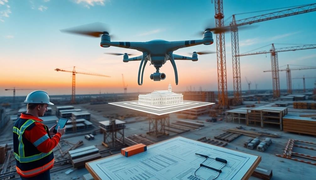
You'll find three powerful tools revolutionizing construction site progress tracking. First, aerial drones capture high-resolution images and videos, enabling quick site inspections and 3D modeling. Second, photogrammetry software transforms drone imagery into detailed 3D models, facilitating accurate progress comparisons over time. Third, cloud-based project management platforms centralize information, improving communication and transparency among stakeholders. These tools work together to enhance efficiency, reduce risks, and provide real-time updates on your construction project. By leveraging these innovative technologies, you'll gain unprecedented insights into your site's development and stay ahead of potential issues.
Aerial Drones

In recent years, aerial drones have revolutionized construction progress tracking. These unmanned aerial vehicles equipped with high-resolution cameras provide you with a bird's-eye view of your entire construction site.
You'll be able to capture detailed images and videos that showcase the project's progress from various angles and elevations. Drones allow you to conduct regular site inspections without physically walking through the entire area, saving you time and reducing safety risks.
You can use them to create accurate 3D models, orthomosaic maps, and volumetric measurements, helping you track earthwork progress and material stockpiles.
With drone technology, you'll detect potential issues early on, such as design discrepancies or safety hazards. You can easily share the captured data with stakeholders, improving communication and decision-making processes.
Many drones now come with software that automatically generates progress reports, comparing current site conditions to previous surveys or design plans.
Photogrammetry Software

Photogrammetry software is a crucial companion to aerial drone technology in construction progress tracking. It transforms drone-captured images into detailed 3D models, allowing you to visualize and measure your project with incredible accuracy. You'll be able to compare actual progress against plans, identify potential issues early, and make informed decisions faster.
When choosing photogrammetry software, consider these key features:
| Feature | Benefit |
|---|---|
| Cloud processing | Faster results, less hardware needed |
| Automatic georeferencing | Accurate positioning without manual input |
| Progress comparison | Easy tracking of changes over time |
| Integration capabilities | Seamless workflow with other tools |
You'll find that top-tier photogrammetry software can process hundreds of images quickly, creating point clouds, mesh models, and orthomosaics. These outputs provide an all-encompassing view of your site, enabling precise measurements and volume calculations.
To get the most out of your photogrammetry software, make sure your drone captures high-quality, overlapping images. You'll also want to establish ground control points for enhanced accuracy. With the right setup, you'll have a powerful tool for monitoring progress, improving communication, and maintaining quality control throughout your construction project.
Cloud-Based Project Management Platforms

While photogrammetry software focuses on visual data, cloud-based project management platforms streamline overall construction tracking and collaboration. These platforms offer a centralized hub for all project-related information, accessible from anywhere with an internet connection.
You'll find features like real-time task management, document sharing, and team communication tools integrated into a single interface. Many platforms also include mobile apps, allowing you to update progress and access information directly from the construction site.
Key benefits include improved transparency, as stakeholders can view project status updates in real-time. You'll also experience enhanced accountability, with clear task assignments and deadlines visible to all team members.
These platforms often offer customizable dashboards and reporting tools, helping you quickly identify potential delays or issues.
Popular cloud-based project management platforms for construction include Procore, Autodesk Construction Cloud, and PlanGrid. When choosing a platform, consider factors like ease of use, integration capabilities with other software tools, and scalability to match your project size and complexity.
Frequently Asked Questions
How Often Should Progress Tracking Tools Be Used on a Construction Site?
You should use progress tracking tools daily on your construction site. It's crucial to monitor tasks, milestones, and potential issues regularly. This consistent approach helps you stay on schedule and address problems promptly.
What Training Is Required for Using Advanced Construction Progress Tracking Tools?
You'll need training in software operation, data interpretation, and equipment handling. Learn to use drones, 3D scanners, and project management platforms. Understand safety protocols and legal requirements. It's essential to stay updated with evolving technologies.
Are There Any Legal Considerations When Implementing Site Progress Tracking Technologies?
You'll need to take into account privacy laws, data protection regulations, and employee consent when implementing site progress tracking. Make certain you're compliant with local labor laws and union agreements regarding worker monitoring and data collection practices.
How Do Weather Conditions Affect the Accuracy of Construction Progress Tracking Tools?
Weather can greatly impact your tracking accuracy. Rain, snow, and fog can obstruct cameras and sensors. Extreme temperatures may affect equipment performance. You'll need to account for these factors when interpreting data and planning site visits.
Can Progress Tracking Tools Integrate With Existing Construction Management Software Systems?
You'll find that many progress tracking tools can seamlessly integrate with existing construction management software. They'll sync data, share updates, and streamline workflows. You're able to connect them with project management, scheduling, and budgeting systems for improved efficiency.
In Summary
You've now got the inside scoop on three powerful tools for tracking construction site progress. Whether you're using aerial drones for bird's-eye views, photogrammetry software for detailed 3D models, or cloud-based project management platforms for real-time collaboration, you're well-equipped to stay on top of your projects. Don't hesitate to implement these technologies – they'll streamline your workflow, improve communication, and help you deliver projects on time and within budget. Embrace these tools and watch your productivity soar.

As educators and advocates for responsible drone use, we’re committed to sharing our knowledge and expertise with aspiring aerial photographers.


Leave a Reply