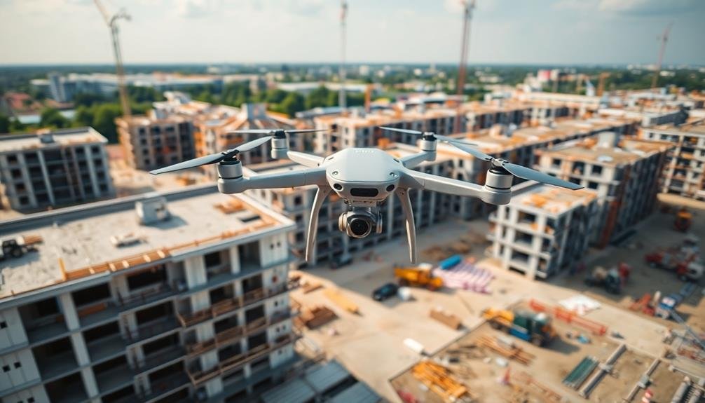
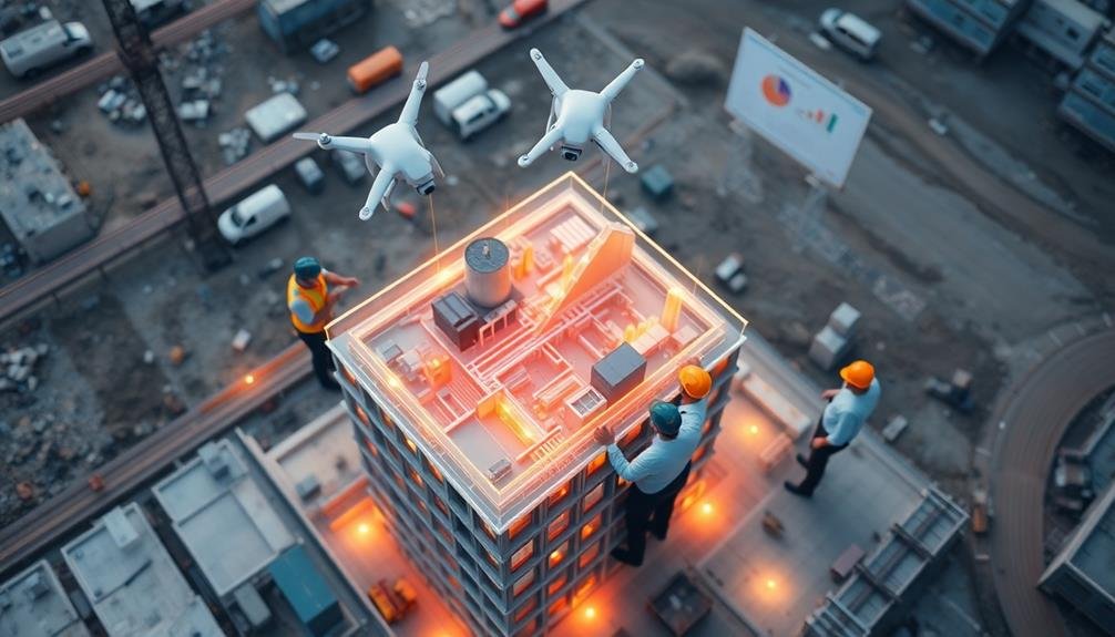
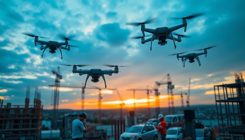
To track construction timelines with unmanned aircraft, you'll need to choose the right drone and plan effective flight paths. Capture high-quality aerial imagery regularly, focusing on key areas of interest. Process the data using specialized software to create orthomosaic maps and 3D models. These visuals allow you to compare actual progress against milestones. Integrate the drone data with your project management software for real-time updates. Don't forget to comply with FAA regulations and implement safety measures. By overcoming initial challenges, you'll gain valuable insights into your project's progress. The benefits of this innovative approach are just the beginning.
Benefits of Drone-Based Timeline Tracking
Three key benefits make drone-based timeline tracking a game-changer for construction projects.
First, you'll gain unparalleled visual documentation. Drones capture high-resolution images and videos of your entire site, allowing you to monitor progress from multiple angles and elevations. This thorough view helps you identify potential delays or issues early on.
Second, you'll save time and resources. Traditional timeline tracking often involves manual site inspections, which can be time-consuming and labor-intensive. With drones, you can quickly survey large areas and collect data in a fraction of the time, freeing up your team to focus on other critical tasks.
Lastly, you'll enhance safety on your construction site. Drones can access hard-to-reach or potentially dangerous areas without putting workers at risk. This capability allows you to inspect structures, monitor hazardous conditions, and guarantee compliance with safety regulations more effectively.
Choosing the Right Unmanned Aircraft
When choosing an unmanned aircraft for construction timeline tracking, you'll need to weigh the pros and cons of fixed-wing versus rotary drones.
You'll want to assess the payload capacity required for your specific monitoring equipment.
It's also essential to evaluate the flight time requirements for your project, as this will impact the drone's ability to cover large construction sites efficiently.
Fixed-Wing vs. Rotary Drones
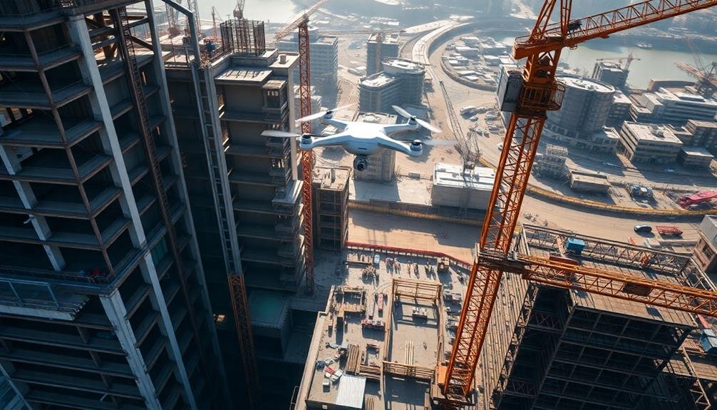
For construction timeline tracking, choosing between fixed-wing and rotary drones is essential. Fixed-wing drones resemble airplanes and excel at covering large areas quickly, making them ideal for expansive construction sites.
They're more energy-efficient and can stay airborne longer, allowing for extended survey missions. However, they require more space for takeoff and landing, which can be challenging in confined urban environments.
Rotary drones, also known as multicopters, offer greater maneuverability and the ability to hover. They're perfect for detailed inspections of vertical structures and can easily navigate tight spaces.
While they've shorter flight times, they're more versatile for various construction monitoring tasks.
When deciding between fixed-wing and rotary drones, consider these factors:
- Site size and layout
- Required level of detail in imagery
- Frequency of flights needed
Your choice will depend on your specific project requirements. If you're monitoring a large highway construction project, a fixed-wing drone might be more suitable.
For a high-rise building site in a city center, a rotary drone would likely be the better option. Some companies even use a combination of both types to maximize efficiency and data collection capabilities.
Payload Capacity Considerations
Beyond the choice between fixed-wing and rotary drones, payload capacity plays a key role in selecting the right unmanned aircraft for construction timeline tracking.
You'll need to evaluate the weight and size of the sensors and equipment you'll be using to monitor progress.
For basic visual inspections, a lightweight camera may suffice, allowing you to use smaller drones with lower payload capacities.
However, if you're planning to use advanced imaging technology like thermal cameras or LiDAR sensors, you'll need a drone capable of carrying heavier payloads.
Don't forget to factor in battery life when assessing payload capacity. Heavier payloads drain batteries faster, potentially reducing flight time and coverage area.
You might need to invest in a larger drone with a higher payload capacity to maintain adequate flight duration.
Examine future needs as well. If you anticipate upgrading your equipment or adding new sensors, choose a drone with a payload capacity that can accommodate these potential additions.
This foresight can save you from having to replace your entire drone system down the line.
Flight Time Requirements
One of the most critical factors in selecting an unmanned aircraft for construction timeline tracking is flight time. You'll need to guarantee that the drone can stay airborne long enough to cover the entire construction site and capture all necessary data in a single flight.
Consider the size of your project and the level of detail required when determining the ideal flight time. Most commercial drones offer flight times ranging from 20 to 30 minutes, but some high-end models can stay aloft for up to an hour.
When evaluating flight time requirements, keep these factors in mind:
- Site size and complexity
- Desired image resolution and overlap
- Weather conditions and wind speeds
Remember that longer flight times often come at the expense of payload capacity or maneuverability. You'll need to strike a balance between these factors to find the right drone for your needs.
If a single flight isn't sufficient to cover your entire site, consider investing in additional batteries or a drone with quick-swap battery capabilities. This will allow you to conduct multiple flights in succession, minimizing downtime and guaranteeing thorough coverage of your construction project.
Planning Drone Flight Paths
Careful planning of drone flight paths is essential for effective construction site monitoring. You'll need to evaluate several factors when mapping out your drone's route.
First, identify the key areas of interest on the construction site that require regular observation. These might include active work zones, material storage areas, and critical infrastructure points.
Next, determine the ideal altitude for capturing clear imagery while complying with local regulations. Higher altitudes provide a broader view but may sacrifice detail, while lower flights offer more precise data but require more battery power.
Factor in obstacles like cranes, scaffolding, and tall structures when plotting your course. Reflect on the time of day for your flights, as lighting conditions can greatly impact image quality. Early morning or late afternoon flights often provide the best lighting for aerial photography.
You'll also want to program your drone to maintain a consistent speed and follow a grid pattern for thorough coverage.
Capturing High-Quality Aerial Imagery
With your flight path planned, it's time to focus on capturing high-quality aerial imagery. Make certain your drone's camera settings are optimized for the lighting conditions and desired level of detail. Adjust the resolution, shutter speed, and ISO to achieve crisp, clear images that'll be useful for tracking construction progress.
Consider the time of day when capturing imagery. Early morning or late afternoon light often provides the best contrast and minimizes harsh shadows. Avoid flying during midday when the sun is directly overhead, as this can create unflattering shadows and reduce image quality.
To capture the most useful aerial imagery for construction tracking:
- Use a mix of orthographic (straight-down) and oblique (angled) shots to provide extensive coverage.
- Maintain consistent altitude and camera angles across multiple flights for easy comparison.
- Capture overlapping images to enable accurate stitching and 3D model creation.
Pay attention to weather conditions, as wind and precipitation can affect image quality. If possible, schedule flights on calm, clear days for the best results.
Data Processing and Analysis
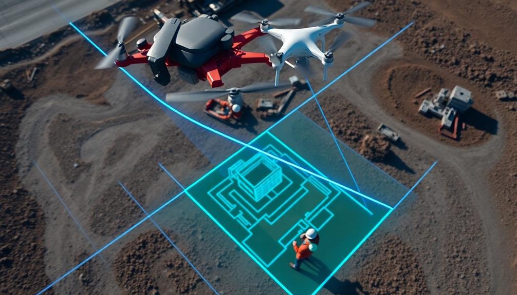
After capturing high-quality aerial imagery, you'll need to process and analyze the data to extract valuable insights about your construction project's progress. Start by importing your drone footage into specialized photogrammetry software. This software will stitch together individual images to create orthomosaic maps and 3D models of your construction site.
Next, use these models to perform volumetric calculations, measure distances, and track changes over time. You can overlay your site plans onto the orthomosaic maps to compare actual progress against planned milestones. Identify discrepancies and potential delays early on, allowing you to take corrective action promptly.
Utilize artificial intelligence and machine learning algorithms to automate object detection and classification. These tools can help you quickly identify and count equipment, materials, and workers on-site. By analyzing this data, you'll gain insights into resource utilization and productivity trends.
Generate progress reports and visualizations to communicate findings effectively with stakeholders. Use time-lapse videos and side-by-side comparisons to showcase project advancements.
Remember to store your processed data securely and maintain a consistent naming convention for easy retrieval and future reference.
Creating Time-Lapse Construction Videos
To create time-lapse construction videos, you'll need a high-quality drone camera, a stable mounting system, and reliable data storage.
You'll want to establish consistent flight paths and capture intervals to guarantee smooth video shifts.
In post-production, you can use specialized software to stitch together your aerial images and adjust parameters like frame rate and resolution for the final time-lapse video.
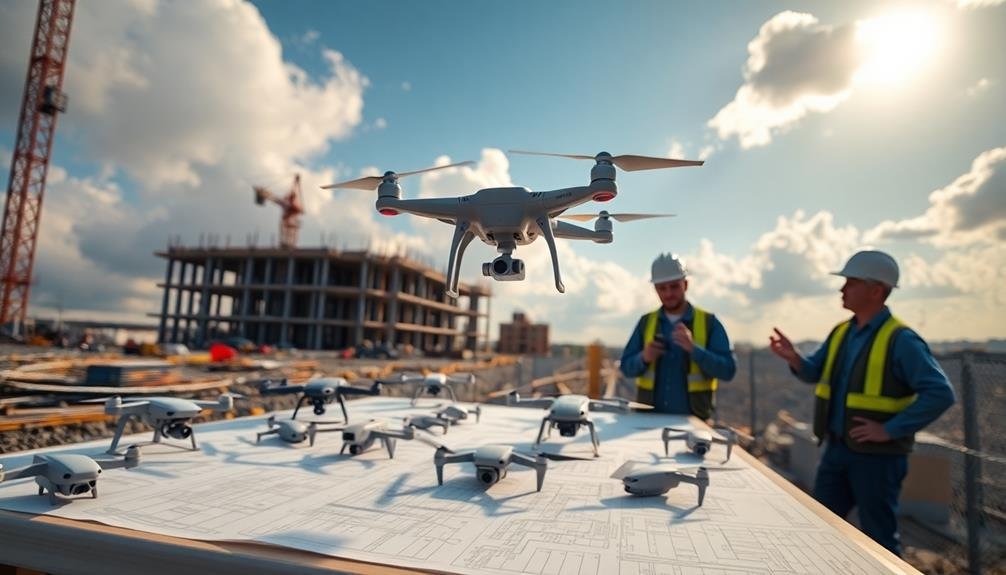
Equipment and Setup Requirements
Creating time-lapse construction videos with unmanned aircraft requires several essential pieces of equipment and careful setup. You'll need a reliable drone with a high-quality camera, capable of capturing clear images at regular intervals. Choose a model with good battery life and GPS capabilities for consistent positioning.
Additionally, invest in multiple batteries and a charging station to guarantee uninterrupted filming during long sessions.
To set up your equipment effectively:
- Scout the construction site beforehand to identify ideal flight paths and vantage points.
- Program your drone with predetermined waypoints to maintain consistent framing across multiple flights.
- Configure your camera settings for the best image quality, considering factors like lighting conditions and time of day.
You'll also need robust data storage solutions to handle the large volume of images captured during the project. Consider using high-capacity SD cards and external hard drives for on-site backups.
Post-processing software is vital for compiling your images into a smooth time-lapse video. Familiarize yourself with video editing tools that offer features like image stabilization and color correction to enhance the final product.
Editing and Compilation Techniques
Numerous editing and compilation techniques can transform your raw drone footage into a compelling time-lapse construction video.
Begin by organizing your footage chronologically and selecting the best shots for each stage of construction. Use video editing software to stitch these clips together, maintaining a consistent perspective across frames.
Adjust the playback speed to compress days or weeks of construction into a few minutes. You'll want to experiment with different speeds to find the right balance between showcasing progress and maintaining viewer engagement.
Apply stabilization effects to smooth out any camera shake, ensuring a professional look.
Add changes between scenes to indicate the passage of time or changes in construction phases. Overlay text or graphics to highlight key milestones or provide context about the project's timeline.
Consider adding a subtle soundtrack to enhance the visual experience.
To create a polished final product, color-grade your footage for consistency across different lighting conditions.
Export your video in a high-quality format suitable for your intended platform, whether it's social media, client presentations, or project documentation.
Remember to backup your original footage and project files for future reference or revisions.
Integrating With Project Management Software

For seamless project management, integrating drone data with existing software platforms is essential. You'll want to choose project management tools that offer APIs or direct integrations with drone data processing software. This allows for automatic updates to your project timeline as new aerial data is collected and analyzed.
When selecting integration solutions, consider these key factors:
- Data compatibility: Verify your drone data format is supported by the project management software.
- Real-time syncing: Look for solutions that offer immediate updates to keep your team informed.
- Customizable dashboards: Choose software that allows you to create tailored views of drone-captured data within your project timeline.
Once integrated, you can use drone data to update task progress, identify potential delays, and allocate resources more effectively.
You'll be able to generate reports that combine traditional project metrics with visual data from drone surveys, providing a thorough view of your construction timeline.
To maximize the benefits of integration, train your team on how to interpret and act on drone-derived data within the project management interface. This will guarantee that the insights gained from aerial surveys are effectively utilized to keep your project on track and within budget.
Regulatory Compliance and Safety Measures
While integrating drone technology can streamline your construction timeline tracking, it's crucial to address regulatory compliance and safety measures. First, verify you're familiar with FAA regulations for commercial drone use. You'll need to obtain a Part 107 remote pilot certificate and register your drone. Always check for airspace restrictions and obtain necessary authorizations before flying.
Implement a thorough safety protocol for your drone operations. This should include pre-flight checklists, weather assessments, and emergency procedures. Train your pilots thoroughly and keep them updated on the latest regulations and best practices.
| Safety Measure | Purpose | Implementation |
|---|---|---|
| Pre-flight checklist | Verify equipment readiness | Daily before first flight |
| Weather assessment | Avoid hazardous conditions | Before each flight |
| Airspace check | Comply with regulations | Use FAA B4UFLY app |
| Visual observer | Enhance situational awareness | Assign for complex flights |
Consider investing in drone insurance to protect against potential liability. Keep detailed flight logs and maintenance records to demonstrate compliance and aid in troubleshooting. By prioritizing regulatory compliance and safety, you'll minimize risks and maximize the benefits of using drones for construction timeline tracking.
Overcoming Challenges in Drone Implementation
Implementing drone technology for construction timeline tracking isn't without its hurdles. You'll need to address several challenges to guarantee successful integration.
First, consider the learning curve for your team. Drone operation and data interpretation require specialized skills, so you'll need to invest in training or hire experts.
Weather conditions can also impact drone flights, potentially disrupting your tracking schedule. You'll need to develop contingency plans for days when flights aren't possible.
Data management is another vital aspect. You'll be collecting large amounts of visual data, which requires robust storage and processing systems. Confirm you have the necessary infrastructure in place to handle this influx of information efficiently.
To overcome these challenges effectively, focus on:
- Developing an all-encompassing training program for your team
- Establishing clear protocols for weather-related disruptions
- Investing in powerful data management and analysis tools
Frequently Asked Questions
How Much Does It Cost to Implement Drone-Based Construction Timeline Tracking?
You'll find costs vary widely, ranging from $5,000 to $50,000+. It depends on drone type, software, training, and project scale. You're looking at initial equipment expenses, ongoing maintenance, and potential staff training or hiring costs.
Can Drones Be Used for Indoor Construction Progress Monitoring?
Yes, you can use drones for indoor construction progress monitoring. They're especially useful in large structures. You'll need smaller, more maneuverable drones with obstacle avoidance. Guarantee proper lighting and consider using specialized indoor positioning systems for accuracy.
What Type of Training Is Required for Drone Pilots in Construction?
You'll need a Remote Pilot Certificate from the FAA, which requires passing a knowledge test. Construction-specific training on safety protocols, flight planning, and data collection is also essential. Ongoing practice and staying updated on regulations are vital.
How Do Weather Conditions Affect Drone-Based Construction Site Monitoring?
Weather conditions greatly impact your drone monitoring. You'll face challenges with wind, rain, and extreme temperatures. They can limit flight time, affect image quality, and pose safety risks. Always check forecasts and follow safety guidelines before flying.
Are There Any Privacy Concerns When Using Drones for Construction Tracking?
Yes, you'll need to contemplate privacy concerns when using drones for construction tracking. You should be aware of local laws, obtain necessary permissions, and avoid capturing sensitive information or footage of neighboring properties without consent.
In Summary
You've now got the tools to revolutionize your construction timeline tracking with unmanned aircraft. By choosing the right drone, planning flights strategically, and capturing high-quality imagery, you'll gain invaluable insights into project progress. Don't forget to process and analyze your data, create time-lapse videos, and integrate with existing software. Remember to stay compliant with regulations and address any challenges head-on. With drones, you'll take your project management to new heights.
As educators and advocates for responsible drone use, we’re committed to sharing our knowledge and expertise with aspiring aerial photographers.


Leave a Reply