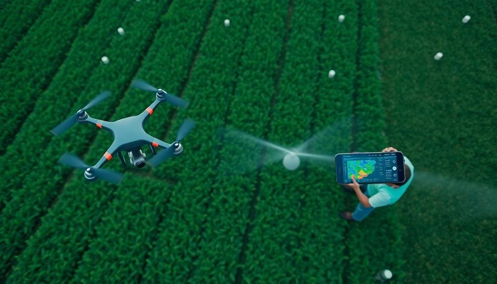
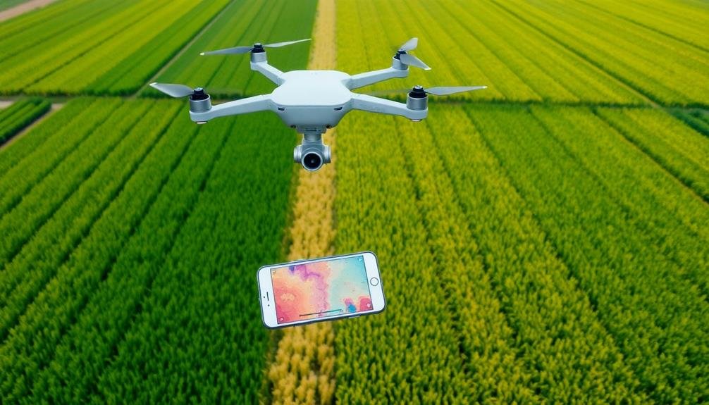
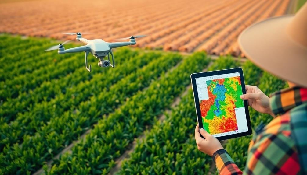
You'll revolutionize your farming practices with these three cutting-edge crop monitoring software solutions for precision agriculture. DroneDeploy offers a thorough platform for aerial imagery and analysis, capturing high-resolution images and providing AI-powered insights. Pix4Dfields specializes in precision agriculture, supporting multispectral and thermal imagery for extensive crop health assessment. Sentera FieldAgent combines drone imagery, satellite data, and ground-level insights for thorough crop monitoring. All three platforms feature user-friendly interfaces, automated data processing, and tools for addressing various crop issues. By leveraging these powerful solutions, you'll gain real-time insights and maximize your farm's productivity. Discover how each software can transform your agricultural operations.
DroneDeploy
While many crop monitoring solutions exist, DroneDeploy stands out as a thorough platform for aerial imagery and analysis. It leverages drone technology to capture high-resolution images of your fields, providing you with detailed insights into crop health, pest infestations, and overall field conditions.
You'll appreciate DroneDeploy's user-friendly interface, which allows you to plan and execute drone flights with ease. The software automatically processes the collected data, generating detailed maps and 3D models of your fields. These visuals help you identify problem areas quickly, enabling targeted interventions and resource allocation.
DroneDeploy's AI-powered analysis tools can detect plant stress, estimate crop yield, and even count individual plants. You'll receive actionable reports that highlight areas requiring attention, helping you make informed decisions about irrigation, fertilization, and pest control.
The platform integrates seamlessly with other farm management tools, allowing you to incorporate drone-collected data into your existing workflows. You can easily share maps and insights with your team or agronomists, fostering collaboration and improving overall farm management.
DroneDeploy's mobile app guarantees you can access your field data anytime, anywhere, making it a versatile tool for modern precision agriculture.
Pix4Dfields

Designed for precision agriculture, Pix4Dfields offers a detailed solution for crop monitoring and field analysis. You'll find it user-friendly, with a streamlined interface that allows you to process, analyze, and share aerial data quickly. The software supports various types of imagery, including multispectral and thermal, enabling extensive crop health assessment.
With Pix4Dfields, you can generate accurate orthomosaic maps and digital surface models. These tools help you identify problem areas in your fields, such as pest infestations or irrigation issues. The software's AI-powered engine rapidly processes data, letting you make timely decisions about crop management.
You'll appreciate the field boundary detection feature, which automatically delineates your fields for easier analysis. The software also offers tools for measuring field areas and distances, aiding in precise planning and resource allocation.
Pix4Dfields integrates seamlessly with other farm management systems, allowing you to export your data for further analysis. You can create prescription maps for variable rate applications, optimizing your use of fertilizers and pesticides.
The cloud-based platform guarantees you can access your data from anywhere, facilitating collaboration with agronomists or team members.
Sentera FieldAgent
Sentera FieldAgent stands out as a thorough crop monitoring solution that brings together drone imagery, satellite data, and ground-level insights. You'll find it's designed to help you make informed decisions about your crops throughout the growing season.
With its user-friendly interface, you can easily capture, analyze, and share field data, enabling you to spot potential issues before they become major problems.
FieldAgent's versatility allows you to:
- Collect high-resolution imagery using drones or satellites
- Generate detailed field maps for various crop health indicators
- Track crop progress with time-lapse animations
- Integrate with other farm management tools for extensive analysis
You'll appreciate how FieldAgent streamlines your workflow by automating data processing and analysis. It offers real-time insights into crop health, helping you identify areas that need attention.
Whether you're dealing with pest infestations, nutrient deficiencies, or water stress, FieldAgent provides the tools you need to address these issues promptly.
Frequently Asked Questions
How Does Crop Monitoring Software Integrate With Existing Farm Management Systems?
You'll find that crop monitoring software often integrates seamlessly with your existing farm management systems. It'll sync data, share information, and provide unified dashboards. You can expect automated data transfers and real-time updates across platforms.
What Is the Learning Curve for Implementing Precision Agriculture Software?
You'll face a moderate learning curve when implementing precision agriculture software. It'll take time to familiarize yourself with features, data interpretation, and integration. However, user-friendly interfaces and training resources can help you adapt quickly.
Are There Any Free or Open-Source Alternatives to Commercial Crop Monitoring Software?
Yes, you'll find several free and open-source options for crop monitoring. QGIS, GRASS GIS, and OpenDroneMap are popular choices. They offer basic features but may require more technical know-how compared to commercial solutions. You can explore these alternatives online.
How Frequently Should Farmers Update Their Crop Monitoring Data for Optimal Results?
You'll want to update your crop monitoring data frequently, ideally daily or weekly. It's essential to capture changes in weather, growth stages, and field conditions. Regular updates guarantee you're making timely, informed decisions for maximum crop management.
Can Crop Monitoring Software Be Used for Organic Farming Practices?
Yes, you can use crop monitoring software for organic farming. It'll help you track soil health, pest populations, and nutrient levels without chemicals. You'll get valuable insights to make informed decisions about crop rotation and natural pest control methods.
In Summary
You've now explored three top crop monitoring solutions for precision agriculture. Whether you choose DroneDeploy, Pix4Dfields, or Sentera FieldAgent, you'll be equipped with powerful tools to optimize your farming operations. These software options offer advanced features like drone integration, field mapping, and data analysis. By implementing one of these systems, you'll enhance your decision-making process, increase crop yields, and ultimately boost your farm's efficiency and profitability. Don't hesitate to take your agricultural practices to the next level with these innovative technologies.
As educators and advocates for responsible drone use, we’re committed to sharing our knowledge and expertise with aspiring aerial photographers.


Leave a Reply