
To survey disaster zones with UAVs, you'll need to select durable drones with long flight times and advanced sensors. Start by obtaining necessary permissions and creating a detailed flight plan. Prioritize safety by working in teams and maintaining communication with local authorities. Use grid-pattern flight paths for thorough coverage, and employ high-resolution cameras and thermal imaging for data collection. Process the data using specialized software to generate 3D models and maps. Coordinate closely with emergency response teams, sharing real-time information through established channels. By following these steps, you'll be well-equipped to conduct effective aerial surveys in challenging environments. Exploring further will reveal additional essential details for successful disaster zone surveying.
Selecting Suitable UAV Equipment

When selecting suitable UAV equipment for disaster zone surveys, you'll need to prioritize durability and versatility. Choose UAVs that can withstand harsh conditions, including extreme temperatures, high winds, and potential impacts. Look for models with robust construction, weather-resistant materials, and reinforced propellers.
Opt for drones with long flight times and extended range capabilities to cover large areas efficiently. Consider models with interchangeable batteries for quick swaps in the field. Select UAVs equipped with high-resolution cameras and thermal imaging sensors to capture detailed visual and infrared data.
Verify your chosen drone has obstacle avoidance technology and GPS-assisted flight modes for safer navigation in complex environments. Pay attention to payload capacity, as you may need to carry additional sensors or equipment. Choose a UAV with real-time data transmission capabilities to send information back to your team quickly.
Consider models with autonomous flight features for pre-programmed survey routes. Don't forget about portability – select equipment that's easy to transport and deploy in challenging terrains. Finally, verify your chosen UAV complies with local regulations and has the necessary certifications for disaster zone operations.
Pre-Flight Planning and Preparation
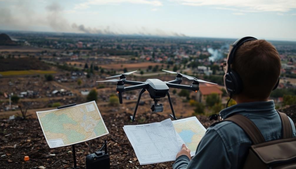
With your UAV equipment selected, thorough pre-flight planning and preparation are key to successful disaster zone surveys. First, obtain necessary flight permissions and clearances from local authorities. Study recent satellite imagery and topographical maps to identify potential hazards and plan ideal flight paths. Check weather forecasts for wind speeds, precipitation, and visibility conditions that could affect your mission.
Create a detailed flight plan, including takeoff and landing sites, survey area boundaries, and emergency landing locations. Program your UAV's flight path and set up geofencing to prevent it from straying into restricted areas. Verify your batteries are fully charged and pack spares. Inspect your UAV for any damage or loose components.
Calibrate your sensors and test all equipment, including cameras and communication systems. Brief your team on roles, safety procedures, and emergency protocols. Set up a ground control station with live video feed capabilities. Double-check that you have all necessary tools, spare parts, and documentation.
Safety Protocols for Disaster Zones
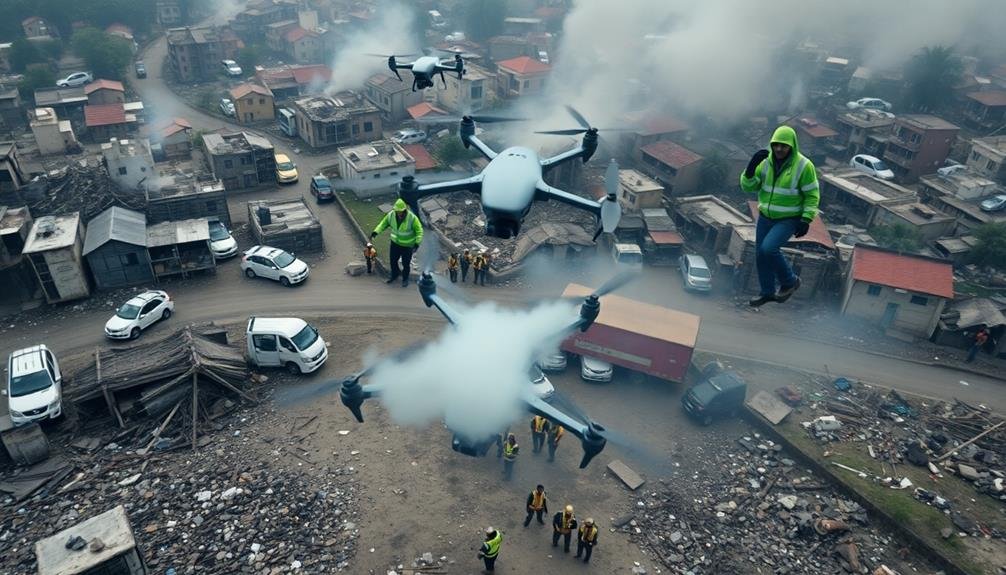
Safety is paramount when surveying disaster zones with UAVs. You must prioritize the well-being of both your team and any potential survivors in the area. Always work in pairs, with one person operating the drone and the other serving as a spotter. Wear appropriate personal protective equipment, including hard hats, safety glasses, and sturdy boots.
Before launching your UAV, establish a clear communication protocol with local authorities and other response teams. This guarantees you won't interfere with ongoing rescue efforts or other aerial operations. Set up a designated take-off and landing zone away from unstable structures or hazardous materials. Be aware of changing weather conditions and their impact on flight performance.
During the flight, maintain visual line of sight with your UAV at all times. Avoid flying over people or animals, and respect privacy concerns by not capturing unnecessary footage of survivors or private property. If you encounter unexpected obstacles or lose control of the drone, initiate emergency landing procedures immediately.
After each flight, conduct a thorough inspection of your equipment for any damage or malfunctions. By following these safety protocols, you'll minimize risks and maximize the effectiveness of your disaster zone survey.
Mapping Techniques for Aerial Surveys

Effective mapping techniques are the backbone of successful aerial surveys in disaster zones. You'll need to employ various strategies to capture accurate and thorough data.
Start by creating a flight plan that covers the entire affected area, using a grid pattern to guarantee thorough coverage. Overlap your flight paths by 60-70% to ensure complete imagery and compensate for any GPS inaccuracies.
Use photogrammetry software to stitch together the images captured by your UAV, creating detailed 3D models and orthomosaic maps. These tools will help you identify structural damage, assess terrain changes, and locate potential hazards. Don't forget to geotag your images for precise location data.
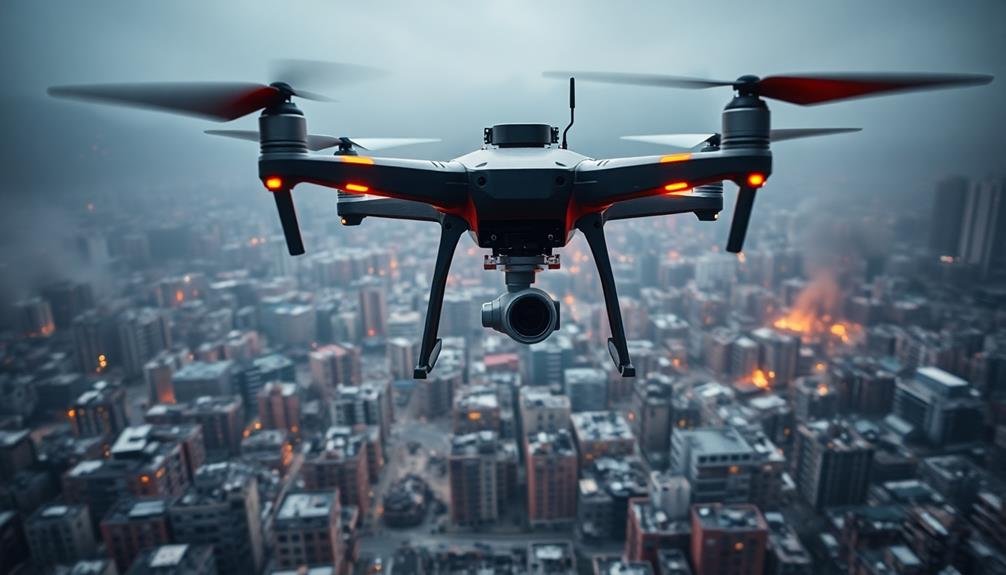
Consider using LiDAR sensors for more accurate elevation mapping, especially in areas with dense vegetation or complex terrain. Thermal imaging can be invaluable for detecting heat signatures of survivors or identifying active fire hotspots.
When surveying large areas, divide them into smaller sectors and prioritize based on urgency. Use real-time data transmission to relay critical information to ground teams immediately.
Remember to calibrate your equipment regularly and adjust your flight parameters based on weather conditions and local regulations.
Data Collection and Analysis Methods
Data collection and analysis form the backbone of any successful UAV disaster survey. You'll need to equip your UAV with appropriate sensors and cameras to gather relevant data. High-resolution optical cameras are essential for visual evaluations, while thermal cameras can detect heat signatures of survivors or potential hazards. LiDAR sensors provide accurate 3D mapping capabilities, vital for evaluating structural damage.
As you fly your UAV, make sure you're capturing data systematically, following predetermined flight paths to cover the entire affected area. Real-time data transmission allows for immediate analysis, but you'll also want to store data onboard for more detailed post-flight examination.
For analysis, use specialized software to process and interpret the collected data. You can generate 3D models, orthomosaic maps, and thermal overlays to provide an extensive view of the disaster zone. AI and machine learning algorithms can help identify areas of concern, such as collapsed buildings or flood-prone regions.
Don't forget to cross-reference your UAV data with other available information sources, like satellite imagery or ground reports. This multi-layered approach will give you the most accurate and actionable insights for disaster response efforts.
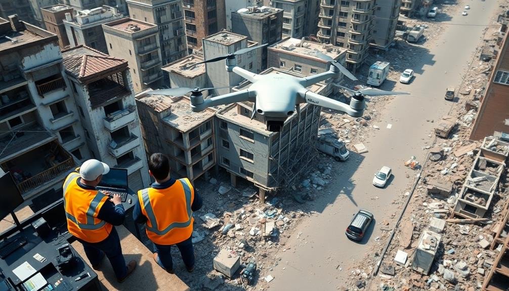
Coordinating With Emergency Response Teams
When coordinating UAV surveys with emergency response teams, you'll need to establish clear communication channels to guarantee seamless information flow.
It's essential to define roles and responsibilities, clarifying who'll operate the drones, analyze data, and make decisions based on the findings.
You should also implement systems to share real-time data effectively, allowing responders on the ground to quickly act on the information gathered by your UAVs.
Establish Clear Communication Channels
Clear communication is the lifeline of any disaster response operation. When using UAVs to survey disaster zones, you'll need to establish robust channels to relay information quickly and accurately.
Start by setting up a dedicated communication hub where UAV operators can directly interact with emergency responders. Use encrypted radio frequencies or secure mobile networks to guarantee sensitive information remains protected.
Implement a standardized communication protocol that all team members understand. This should include clear terminology for describing locations, hazards, and priorities. Create a system of call signs for different UAV units and response teams to streamline identification during radio communications.
Establish redundant communication methods in case primary systems fail. This might include satellite phones, mesh networks, or even old-fashioned runners if necessary. Train your team to use these backup systems effectively.
Set up regular check-ins and briefings to keep all parties updated on the evolving situation. Use visual aids like maps and real-time video feeds from UAVs to enhance understanding.
Define Roles and Responsibilities
Effective coordination hinges on clearly defined roles and responsibilities. When surveying disaster zones with UAVs, you'll need to establish a clear chain of command and designate specific tasks to team members.
Start by appointing a UAV operations coordinator who'll oversee the entire mission and liaise with emergency response teams. Assign pilots to operate the drones, guaranteeing they're familiar with the specific UAV models and local regulations.
Designate data analysts to process and interpret the collected imagery in real-time. You'll also need a communications specialist to maintain contact with ground teams and relay critical information.
Don't forget to assign a safety officer to monitor flight conditions and guarantee compliance with regulations. Include a logistics coordinator to manage equipment, batteries, and supplies.
Finally, appoint a liaison officer to work directly with emergency responders, sharing UAV findings and coordinating efforts.
Clearly define each role's responsibilities, including decision-making authority and reporting structures. Create a written document outlining these roles and share it with all team members and relevant emergency response personnel.
This clarity will streamline operations, reduce confusion, and enhance the effectiveness of your UAV survey mission in disaster zones.
Share Real-Time Data Effectively
Sharing real-time data effectively is essential for maximizing the impact of your UAV surveys in disaster zones. You'll need to establish a reliable communication system that allows for quick and accurate transmission of information to emergency response teams. Use secure, high-bandwidth channels to stream live video feeds and sensor data from your UAVs to command centers and field units.
Implement a standardized data format that's easily interpretable by all stakeholders. This guarantees that critical information is quickly understood and acted upon. Set up a centralized data hub where all survey results, images, and videos are automatically uploaded and categorized. This allows for real-time analysis and decision-making by multiple teams simultaneously.
| Emotion | UAV Data Impact |
|---|---|
| Urgency | Lives at stake |
| Hope | Faster rescues |
| Relief | Efficient aid |
| Trust | Accurate info |
| Unity | Coordinated efforts |
Train your team to prioritize and filter data, focusing on the most critical information first. Use visual aids like heat maps and 3D models to quickly convey complex data. Regularly update and brief emergency responders on new findings, guaranteeing they have the latest information to guide their efforts. By effectively sharing real-time data, you'll greatly enhance the overall disaster response operation.
Legal Considerations and Regulations

When surveying disaster zones with UAVs, you'll need to navigate complex legal considerations and regulations.
You must be aware of airspace restrictions in the affected area and obtain necessary clearances before flying.
Additionally, you'll need to meet pilot certification requirements and address data privacy concerns to guarantee your UAV operations comply with local and federal laws.
Airspace Restrictions
Maneuvering airspace restrictions is essential when surveying disaster zones with UAVs. You'll need to be aware of both permanent and temporary flight restrictions (TFRs) that may be in place. During disasters, emergency services often implement additional TFRs to guarantee the safety of rescue operations and prevent interference with manned aircraft.
Before launching your UAV, always check with local authorities and the Federal Aviation Administration (FAA) for current airspace restrictions. You may need to obtain special permissions or waivers to operate in restricted areas. Remember that violating airspace regulations can result in severe penalties and compromise ongoing relief efforts.
To navigate airspace restrictions effectively:
- Use official FAA resources like the B4UFLY app to check real-time airspace status
- Coordinate with local emergency management agencies for up-to-date information
- Obtain necessary certifications, such as Part 107 for commercial UAV operations
When operating in disaster zones, prioritize communication with other airspace users. Monitor local air traffic control frequencies and maintain situational awareness. If you encounter manned aircraft, immediately yield the right of way and land your UAV if necessary.
Pilot Certification Requirements
Obtaining proper certification is essential for legally operating UAVs in disaster zones. You'll need to acquire a Remote Pilot Certificate from the Federal Aviation Administration (FAA) to fly drones for commercial purposes, including disaster surveys. This certification requires passing an aeronautical knowledge test covering topics like airspace classification, weather patterns, and emergency procedures.
To maintain your certification, you must complete a recurrent knowledge test every 24 months. If you're operating as part of a government agency, you may be eligible for a Certificate of Authorization (COA) instead. This allows for more flexible operations but requires additional training and documentation.
In disaster scenarios, you might encounter expedited processes for temporary flight restrictions. However, you'll still need to demonstrate your qualifications and adhere to safety protocols. Be prepared to show your certification and flight logs at any time.
Remember that regulations can vary by country and even by state or municipality. Always check local laws and obtain necessary permissions before conducting UAV surveys in disaster zones.
Stay informed about evolving regulations, as drone laws are frequently updated to address new technologies and safety concerns.
Data Privacy Concerns
Protecting personal privacy stands as a critical concern when surveying disaster zones with UAVs. You'll need to balance the need for rapid assessment with individuals' rights to privacy.
Be aware of local and federal regulations regarding data collection and storage. Confirm you're not inadvertently capturing sensitive information or violating privacy laws while conducting your survey.
To address data privacy concerns effectively, you should:
- Implement strict data handling protocols
- Use encryption for all collected data
- Limit data retention to only what's necessary
You'll want to inform affected populations about your UAV operations and their purpose. Clearly communicate how you'll use and protect any collected data.
Be prepared to address concerns from local authorities and residents. Remember, transparency is key in maintaining trust and cooperation during disaster relief efforts.
Consider using software that automatically blurs faces or license plates in captured images. This helps protect individual identities while still allowing you to assess damage and plan relief efforts.
Always prioritize ethical data collection and use, even in emergency situations.
Post-Survey Reporting and Documentation

After completing your UAV survey of a disaster zone, thorough reporting and documentation are essential.
Begin by compiling all the data collected during your flights, including images, videos, and any sensor readings. Organize this information chronologically and geographically for easy reference.
Create a detailed report summarizing your findings. Include an overview of the disaster area, highlighting key points of interest and areas of concern. Provide analysis of the damage observed, potential hazards identified, and any immediate needs you've noticed.
Don't forget to document your survey methodology, including flight paths, altitudes, and equipment used.
Supplement your report with visual aids such as maps, annotated images, and 3D models if available. These can help stakeholders better understand the extent of the disaster and prioritize response efforts.
Ensure you're adhering to any legal or regulatory requirements for reporting UAV-collected data. Store all raw data securely, as it may be needed for future analysis or legal purposes.
Frequently Asked Questions
How Long Does It Take to Train a UAV Pilot for Disaster Surveying?
You'll need several weeks to months of training to become a proficient UAV pilot for disaster surveying. It depends on your experience level, the specific UAV system, and the complexity of survey operations you'll be conducting.
What Are the Typical Costs Associated With UAV Disaster Zone Surveying?
You'll face costs for UAV equipment ($1,000-$10,000+), pilot training ($500-$2,000), software licenses ($100-$500/month), and maintenance. Don't forget insurance ($500-$1,500/year) and potential regulatory fees. Actual costs vary based on your specific needs.
Can UAVS Be Used for Search and Rescue Operations During Disasters?
Yes, you can use UAVs for search and rescue during disasters. They'll help you cover large areas quickly, access hard-to-reach locations, and locate survivors. They're equipped with cameras and sensors to aid your search efforts effectively.
How Do Weather Conditions Affect UAV Performance in Disaster Zones?
Weather conditions greatly impact your UAV's performance in disaster zones. You'll face challenges with strong winds, rain, and low visibility. They can affect flight stability, battery life, and sensor accuracy. Always check forecasts before launching operations.
What Are the Ethical Considerations When Using UAVS in Disaster-Affected Communities?
You must consider privacy invasion, potential distress to victims, and data security. Guarantee you obtain proper permissions, respect cultural sensitivities, and use collected information responsibly. Don't exploit vulnerable populations or interfere with rescue efforts.
In Summary
You've now learned the essential steps for surveying disaster zones with UAVs. Remember to choose the right equipment, plan carefully, prioritize safety, and use effective mapping techniques. Don't forget to analyze your data thoroughly and coordinate with emergency teams. Always comply with legal regulations and document your findings. By following these guidelines, you'll be well-equipped to contribute valuable aerial survey data in disaster response efforts.
As educators and advocates for responsible drone use, we’re committed to sharing our knowledge and expertise with aspiring aerial photographers.


Leave a Reply