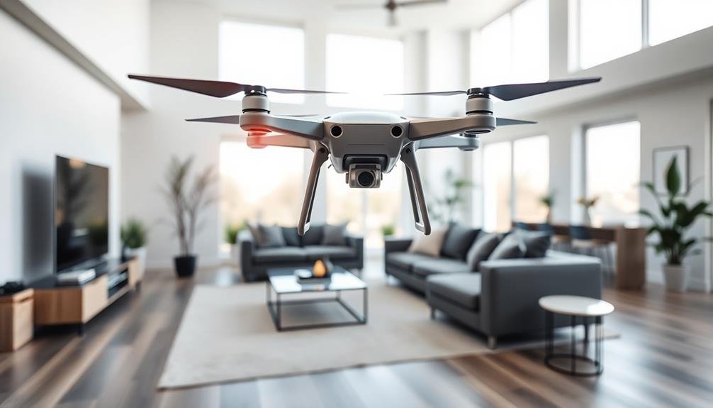
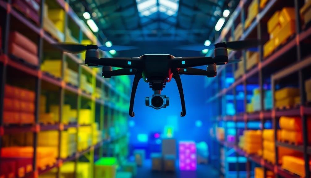
You'll revolutionize your indoor space visualization with these seven cutting-edge drone techniques. LiDAR scanning creates accurate 3D models, while photogrammetry captures detailed textures. Advanced obstacle avoidance systems guarantee safe navigation in confined spaces. Low-light imaging techniques allow for clear visuals in dim environments. Thermal mapping helps analyze energy efficiency by detecting heat signatures. Autonomous flight path planning enables drones to navigate complex interiors independently. Finally, multi-drone swarm coordination maximizes efficiency through simultaneous deployment. By mastering these techniques, you'll reveal new possibilities for precise indoor mapping and analysis. Explore further to discover how these innovations can transform your projects.
LiDAR Scanning for 3D Modeling

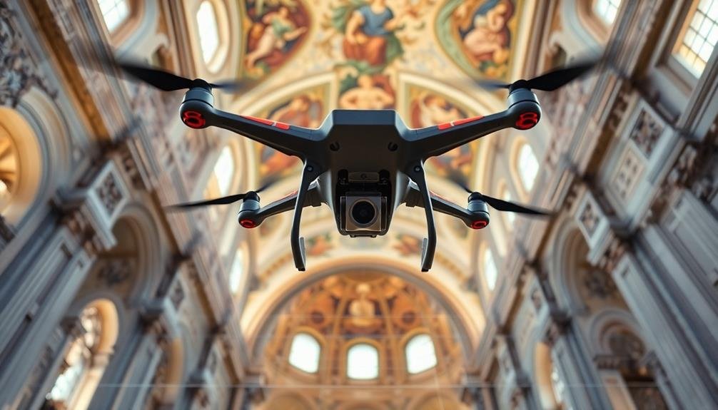
LiDAR, short for Light Detection and Ranging, is revolutionizing indoor space visualization with drones. This technology uses laser pulses to measure distances and create highly accurate 3D models of indoor environments. When mounted on a drone, LiDAR sensors can quickly scan large areas, capturing intricate details of walls, ceilings, and objects within a space.
You'll find that LiDAR-equipped drones offer several advantages for indoor mapping. They can navigate tight spaces and reach areas that are difficult for humans to access. The resulting 3D models provide precise measurements and spatial relationships, which are invaluable for architects, engineers, and facility managers.
To use LiDAR scanning effectively, you'll need to plan your flight path carefully. Guarantee complete coverage of the area by flying in a grid pattern and maintaining a consistent distance from surfaces.
You'll also want to take into account the drone's speed and the LiDAR sensor's scan rate to optimize data collection.
Post-processing is essential for transforming raw LiDAR data into usable 3D models. You'll use specialized software to align multiple scans, remove noise, and generate detailed point clouds.
These can then be converted into textured 3D models or 2D floor plans for various applications.
Photogrammetry for Detailed Textures
You'll find that photogrammetry excels at capturing high-resolution imagery for detailed textures in indoor spaces.
Using your drone, you'll take numerous overlapping photos from various angles to guarantee complete coverage of surfaces.
These images are then processed through specialized software, which aligns and combines them to create a highly detailed texture map that can be applied to 3D models.
Capturing High-Resolution Imagery
Precision is paramount when capturing high-resolution imagery for indoor space visualization. You'll need to equip your drone with a high-quality camera capable of at least 20 megapixels. Opt for a sensor with a large pixel size to capture more light in dim indoor environments. Use a wide-angle lens to cover more area in each shot, but be mindful of distortion at the edges.
To guarantee sharp images, maintain a slow and steady flight path. Set your drone's gimbal to a 90-degree angle for consistent, top-down shots. Overlap your images by 60-80% to provide ample data for 3D reconstruction.
Adjust your camera settings for indoor conditions: increase ISO to compensate for low light, but keep it below 800 to minimize noise. Set your aperture between f/4 and f/8 for a balance of depth of field and light intake.
Use manual exposure settings to maintain consistency across all images. Employ a fast shutter speed, at least 1/250th of a second, to minimize motion blur. If possible, add supplementary lighting to improve image quality and reduce shadows.
Texture Mapping Process
Once you've captured high-quality imagery, the next step is texture mapping through photogrammetry. This process involves creating detailed, realistic textures for your 3D model using the images you've collected. You'll start by aligning your photos with the 3D geometry, ensuring each image corresponds to the correct part of the model.
Next, you'll use specialized photogrammetry software to extract texture information from your images. This software analyzes the color, lighting, and surface details in each photo, then maps them onto the corresponding areas of your 3D model. You'll need to pay attention to seams and overlaps, adjusting as necessary to create a seamless texture across the entire model.
During this process, you may encounter challenges like varying lighting conditions or reflective surfaces. To address these, you can use image editing tools to balance exposure and reduce glare.
You'll also want to optimize your textures for performance, considering factors like resolution and file size. By carefully applying these techniques, you'll create a highly detailed, visually accurate representation of the indoor space that can be used for various applications, from virtual tours to architectural planning.
Obstacle Avoidance in Confined Spaces
When flying drones in confined indoor spaces, you'll need robust obstacle avoidance systems to prevent collisions.
Your drone should be equipped with sensors like ultrasonic, infrared, or LiDAR to detect walls, furniture, and other objects in real-time.
To further enhance safety and efficiency, you can implement automated flight path planning algorithms that calculate ideal routes through complex indoor environments.
Sensors and Collision Prevention
At the heart of indoor drone navigation lies a critical challenge: avoiding collisions in tight spaces. To tackle this, you'll need to equip your drone with an array of sensors and collision prevention systems.
Start with ultrasonic sensors, which emit sound waves to detect nearby objects. Pair these with infrared sensors for improved accuracy in varying light conditions. LiDAR technology offers precise 3D mapping capabilities, while optical flow sensors help maintain stability and track movement.
Here's a comparison of key sensor types:
| Sensor Type | Range | Accuracy | Best Use Case |
|---|---|---|---|
| Ultrasonic | Short | Moderate | Close objects |
| Infrared | Short | High | Dark areas |
| LiDAR | Long | Very High | 3D mapping |
Implement collision prevention algorithms that process sensor data in real-time. These algorithms should calculate safe flight paths and trigger evasive maneuvers when necessary. You'll also want to incorporate redundancy in your sensor setup to guarantee reliability.
Automated Flight Path Planning
In the domain of indoor drone operations, automated flight path planning is essential for maneuvering confined spaces safely and efficiently. You'll need to implement algorithms that can process real-time sensor data and generate ideal routes while avoiding obstacles. These algorithms typically use techniques like A* search, rapidly-exploring random trees (RRT), or potential field methods to calculate the best path.
When planning automated flight paths, you must consider the drone's size, turning radius, and acceleration capabilities. Factor in the dimensions and layout of the indoor space, including doorways, corridors, and potential obstructions. Your system should be able to dynamically adjust the flight path as new obstacles are detected or environmental conditions change.
Incorporate failsafe measures into your automated planning system. These might include hover-in-place protocols when the drone encounters unexpected obstacles or return-to-home functions if communication is lost.
You'll also want to implement speed controls that adjust based on the complexity of the environment, slowing down in tighter spaces and speeding up in open areas. By fine-tuning your automated flight path planning, you'll guarantee smoother, safer, and more efficient indoor drone operations.
Low-Light Imaging Techniques
Despite the challenges posed by dimly lit environments, low-light imaging techniques have revolutionized indoor drone photography. You'll find that these methods allow you to capture clear, detailed images in spaces with minimal lighting. By utilizing advanced sensors and sophisticated algorithms, you can overcome the limitations of traditional cameras in dark conditions.
To enhance your low-light drone imaging, you'll want to take into account the following techniques:
| Technique | Description |
|---|---|
| ISO Boost | Increase sensor sensitivity |
| Slow Shutter | Allow more light exposure |
| Noise Reduction | Minimize digital artifacts |
| HDR Imaging | Combine multiple exposures |
When you're shooting in low-light conditions, it's vital to stabilize your drone to avoid motion blur. You can achieve this by using a gimbal or advanced image stabilization software. Additionally, you'll want to experiment with different exposure settings to find the ideal balance between brightness and noise.
Post-processing plays a significant role in low-light imaging. You'll need to use specialized software to further reduce noise, adjust contrast, and enhance details in your captured images. By mastering these techniques, you'll be able to produce stunning visualizations of indoor spaces, even in the most challenging lighting conditions.
Thermal Mapping for Energy Analysis
While low-light imaging enhances visual clarity, thermal mapping takes indoor drone technology to a new level of analysis. You'll find that thermal mapping drones equipped with infrared cameras can detect heat signatures throughout a building, revealing vital information about energy efficiency and potential issues.
As you operate these drones, you'll capture detailed thermal images that highlight temperature variations in walls, ceilings, and floors. This data allows you to identify areas of heat loss, poor insulation, or faulty HVAC systems. You can pinpoint drafts, moisture intrusion, and even electrical hotspots that might pose fire risks.
The thermal mapping process isn't just about identifying problems; it's a powerful tool for energy optimization. You'll be able to create extensive heat maps of entire buildings, helping facility managers and energy auditors make informed decisions about improvements.
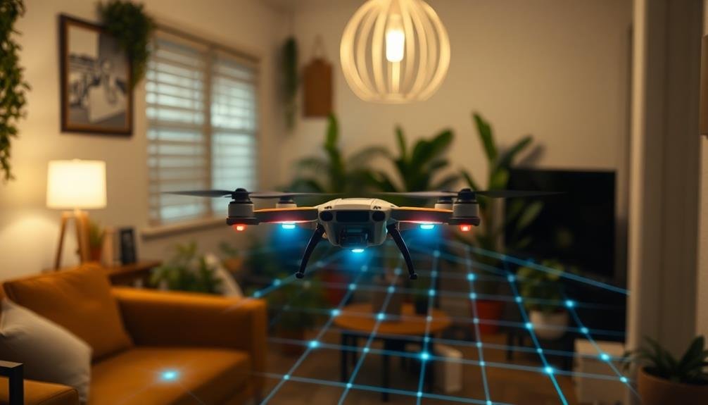
Autonomous Flight Path Planning

Autonomous flight path planning revolutionizes indoor drone operations, taking your visualization capabilities to new heights. This advanced technology allows drones to navigate complex indoor environments without constant human intervention.
You'll find that these systems use a combination of sensors, algorithms, and real-time data processing to create ideal flight paths. When you're setting up autonomous flight paths, you'll need to take into account obstacles, lighting conditions, and spatial constraints.
The drone's onboard computer will continuously analyze its surroundings, adjusting its route as needed. You can program specific waypoints or areas of interest, and the drone will efficiently cover the entire space.
You'll appreciate how this technology improves data collection consistency and reduces human error. It's particularly useful for large or complex indoor spaces where manual control might be challenging. You can even set up recurring autonomous flights to monitor changes over time.
To get the most out of autonomous flight path planning, you'll want to make sure your drone has up-to-date mapping data and sufficient battery life. Regular software updates will keep your system performing at its best, providing you with accurate and thorough indoor space visualizations.
Multi-Drone Swarm Coordination
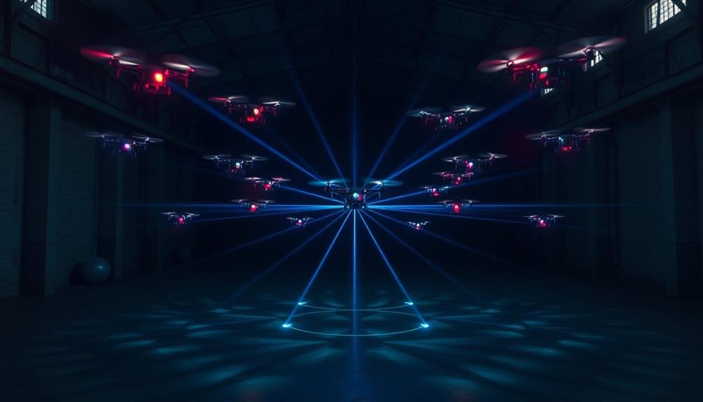
Efficiency soars when you implement multi-drone swarm coordination for indoor space visualization. This technique allows you to deploy multiple drones simultaneously, covering larger areas in less time.
You'll need to establish a central control system that manages communication and synchronization between all drones in the swarm.
To optimize swarm coordination, program your drones to maintain specific formations and distances from each other. This prevents collisions and guarantees thorough coverage of the indoor space.
Implement algorithms that enable real-time data sharing among the drones, allowing them to adjust their positions and flight paths based on the information gathered by their peers.
You'll want to equip each drone with sensors that detect obstacles and other drones, enhancing their ability to navigate safely in confined spaces.
Consider using different types of drones within the swarm, each specialized for specific tasks like mapping, image capture, or environmental sensing. This diversity can provide a more thorough visualization of the indoor space.
Frequently Asked Questions
How Do Drones Handle Reflective Surfaces During Indoor Scanning?
You'll find that drones use special sensors and algorithms to handle reflective surfaces during indoor scanning. They'll often employ multiple data sources, adjust lighting, and use advanced software to differentiate between actual objects and reflections.
What Are the Privacy Concerns When Using Drones for Indoor Visualization?
You'll face privacy concerns when using drones indoors. They can capture sensitive information, personal spaces, and activities without consent. You're responsible for protecting people's privacy and following data protection laws when collecting and storing images.
Can Drones Be Used for Real-Time Indoor Mapping During Emergencies?
Yes, you can use drones for real-time indoor mapping during emergencies. They'll quickly gather data, create up-to-date floor plans, and locate potential hazards or survivors. This information helps first responders navigate unfamiliar buildings more safely and efficiently.
How Do Vibrations From Drone Propellers Affect Image Quality?
You'll notice that drone propeller vibrations can blur images, reducing quality. They're especially problematic in low-light conditions. To combat this, you can use vibration dampeners, faster shutter speeds, and image stabilization software for clearer results.
What Certifications Are Required for Commercial Indoor Drone Operations?
You'll need a Remote Pilot Certificate from the FAA for commercial indoor drone operations. You should also check local regulations, as some states require additional licenses. Don't forget insurance and property owner permissions too.
In Summary
You've now explored seven cutting-edge drone techniques for indoor space visualization. By mastering these methods, you'll revolutionize how you capture and analyze interior environments. Whether you're using LiDAR, photogrammetry, or thermal mapping, you're equipped to tackle any indoor space challenge. Don't forget to prioritize safety with obstacle avoidance and autonomous flight planning. As you advance, consider multi-drone coordination to maximize efficiency. Keep pushing the boundaries of what's possible in indoor drone visualization.
As educators and advocates for responsible drone use, we’re committed to sharing our knowledge and expertise with aspiring aerial photographers.


Leave a Reply