Drones are revolutionizing construction quality control in seven key ways. You'll benefit from aerial surveying and mapping, real-time progress monitoring, and enhanced safety inspections. They'll provide thermal imaging for defect detection, precise measurements, and efficient documentation. Additionally, drones assist in environmental impact assessments, ensuring sustainable practices. These unmanned aerial vehicles offer unparalleled insights, improving accuracy and efficiency across your construction projects. They'll save you time, reduce costs, and enhance overall quality control measures. By incorporating drone technology, you're not just keeping up with industry trends; you're positioning yourself at the forefront of construction innovation. Explore further to access the full potential of these game-changing tools.
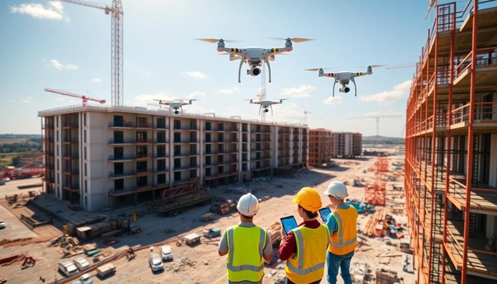
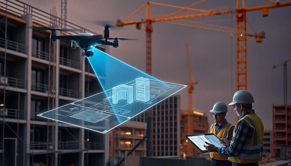
Aerial Surveying and Mapping
Eyes in the sky, drones have revolutionized aerial surveying and mapping in the construction industry. You'll find that these unmanned aerial vehicles (UAVs) offer unparalleled advantages in capturing high-resolution imagery and data from above.
They're equipped with advanced cameras and sensors, allowing you to create detailed 3D models and topographic maps of construction sites quickly and accurately.
You can now survey large areas in a fraction of the time it would take using traditional ground-based methods. Drones provide access to hard-to-reach or dangerous locations, ensuring thorough site coverage without compromising safety.
They'll help you identify potential issues early on, such as drainage problems or terrain irregularities.
With drone-generated data, you'll make more informed decisions about site planning, earthwork calculations, and progress tracking. The real-time information allows for rapid adjustments to project timelines and resource allocation.
You'll also benefit from improved communication with stakeholders by sharing visual progress reports and interactive 3D models.
As regulations evolve and technology advances, drones will continue to enhance the efficiency and accuracy of aerial surveying and mapping in construction quality control.
Real-Time Progress Monitoring
Moving from aerial surveys to ground-level insights, drones offer unparalleled capabilities for real-time progress monitoring on construction sites. You'll find that these unmanned aerial vehicles can capture high-resolution images and videos of your project's progress daily or even hourly. This frequent data collection allows you to track changes, identify potential issues, and make informed decisions quickly.
With drone-based progress monitoring, you're able to:
- Compare actual progress against planned schedules
- Detect discrepancies between design and construction
- Assess material usage and inventory levels
- Monitor worker productivity and safety compliance
- Identify potential bottlenecks or delays
You'll appreciate how drones can access hard-to-reach areas, providing a thorough view of your entire site. They can also generate 3D models and orthomosaic maps, which you can overlay with project plans to guarantee accuracy.
Safety Inspections From Above
From the vantage point of the sky, drones offer a revolutionary approach to construction site safety inspections. You'll find that these aerial devices can quickly identify potential hazards that might be overlooked from ground level. They can scan large areas in minutes, spotting issues like unstable scaffolding, unsecured equipment, or workers without proper safety gear.
You'll appreciate how drones can access hard-to-reach or dangerous areas without putting inspectors at risk. They can examine rooftops, tall structures, and confined spaces, providing high-resolution images and videos for detailed analysis. This capability allows you to address safety concerns promptly, potentially preventing accidents and injuries.
Additionally, you can use thermal imaging cameras on drones to detect heat anomalies that might indicate electrical issues or fire hazards.
Thermal Imaging for Defect Detection
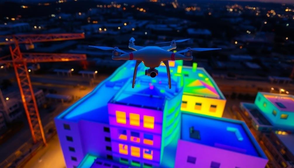
Thermal imaging frequently revolutionizes defect detection in construction projects. You'll find that drones equipped with thermal cameras can identify issues invisible to the naked eye. These cameras detect temperature variations, revealing potential problems in insulation, electrical systems, and moisture intrusion.
By using thermal imaging drones, you can:
- Locate air leaks in building envelopes
- Identify areas of heat loss or gain
- Detect moisture accumulation in roofs and walls
- Spot overheating electrical components
- Find structural defects in concrete and masonry
You'll save time and money by pinpointing problems early, before they escalate into major issues.
Thermal imaging allows you to assess large areas quickly, making it ideal for inspecting tall buildings, roofs, and expansive structures. You can conduct these inspections without disrupting ongoing work or putting workers at risk.
The data collected by thermal imaging drones provides valuable insights for improving energy efficiency and overall building performance.
You'll be able to create detailed reports with visual evidence, helping you communicate issues clearly to clients and contractors. By integrating thermal imaging into your quality control processes, you'll enhance the accuracy and effectiveness of your inspections, ensuring higher-quality construction outcomes.
Precise Measurements and Calculations
You'll find drones invaluable for precise measurements and calculations in construction quality control.
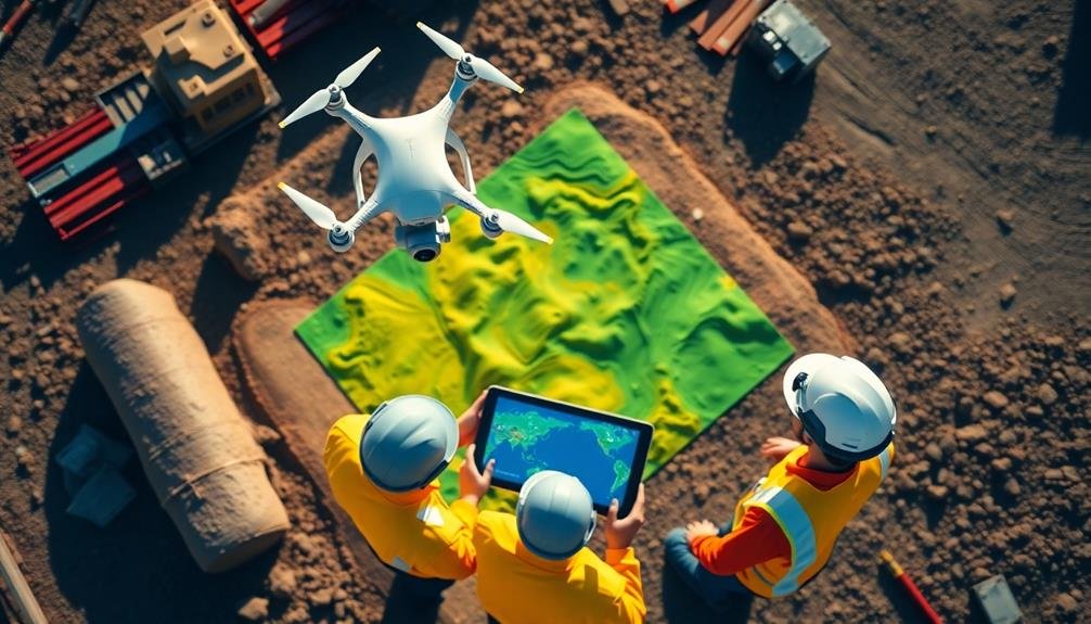
They excel at accurate site mapping, allowing you to create detailed 3D models of your project area.
You can also use drones for volumetric material calculations and to verify structural dimensions, ensuring your builds meet exact specifications.
Accurate Site Mapping
Drones have revolutionized site mapping in construction, offering unparalleled accuracy and efficiency. You'll find that these aerial devices can capture high-resolution images and data points, creating detailed 3D models of your construction site. This technology allows you to monitor progress, identify potential issues, and make informed decisions quickly.
With drone-assisted site mapping, you'll benefit from:
- Real-time updates on project progress
- Improved safety by reducing the need for manual surveys
- Enhanced communication among team members
- Easier detection of discrepancies between plans and actual construction
- Cost savings through reduced labor and equipment requirements
You'll appreciate how drones can cover large areas in a fraction of the time it takes for traditional surveying methods. They can access hard-to-reach or dangerous locations, providing thorough data without putting your team at risk.
By using photogrammetry and LiDAR technology, drones generate highly accurate topographical maps, contour lines, and volumetric calculations. This precision helps you optimize site logistics, track earthwork progress, and guarantee compliance with design specifications.
You'll find that drone-based site mapping considerably improves your project's overall efficiency and quality control processes.
Volumetric Material Calculations
Calculating precise material volumes on construction sites has become a breeze with drone technology. You can now accurately measure stockpiles, excavations, and fill areas without the need for time-consuming manual surveys. Drones equipped with LiDAR sensors or high-resolution cameras capture detailed 3D data of your site, which is then processed to create accurate volumetric calculations.
This technology allows you to track material usage, plan deliveries, and manage resources more efficiently. You'll be able to monitor earthwork progress daily, ensuring your project stays on schedule and within budget.
With drone-based volumetric calculations, you can quickly identify discrepancies between planned and actual material quantities, helping you avoid costly overages or shortages. You'll also benefit from improved safety, as workers no longer need to climb potentially unstable stockpiles for measurements.
The precision of drone-based calculations often surpasses traditional methods, with accuracy rates up to 99%. This level of detail enables you to make data-driven decisions, optimize your material management, and reduce waste.
Structural Dimension Verification
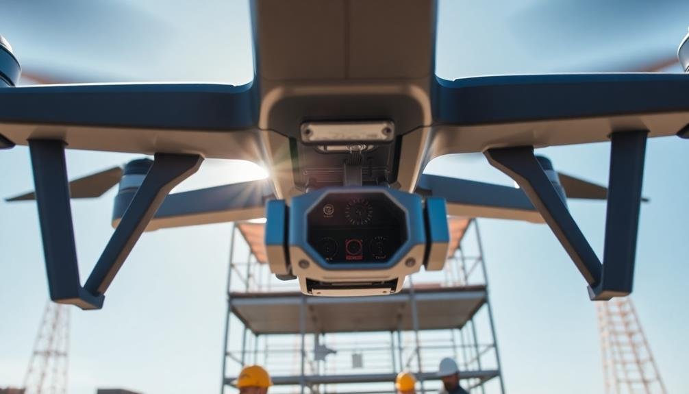
Beyond volumetric calculations, drones excel at verifying structural dimensions with unparalleled precision. You can use drones equipped with high-resolution cameras and LiDAR sensors to capture detailed measurements of buildings, bridges, and other structures.
These aerial devices provide access to hard-to-reach areas, ensuring thorough data collection without compromising safety.
By utilizing photogrammetry and 3D modeling software, you'll transform drone-captured images into accurate digital representations of your construction projects. This technology allows you to:
- Verify building heights and widths
- Check foundation alignment
- Assess roof pitch and symmetry
- Measure distances between structural elements
- Identify deviations from design specifications
With drones, you're able to conduct regular inspections throughout the construction process, catching potential issues early on.
You'll compare real-time measurements against original blueprints, ensuring strict adherence to design specifications. This level of precision helps you maintain quality control, reduce errors, and minimize costly rework.
Documentation and Reporting Efficiency
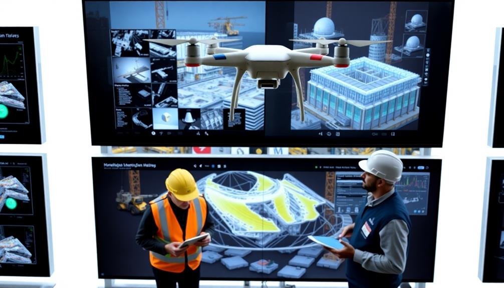
A game-changer in construction project management, drone technology has revolutionized documentation and reporting efficiency. You'll find that drones can capture high-resolution images and videos of your entire construction site in a fraction of the time it takes for manual inspections. This aerial footage provides a thorough overview of project progress, allowing you to quickly identify potential issues and make informed decisions.
With drone-based documentation, you'll streamline your reporting process:
| Benefit | Traditional Method | Drone Method |
|---|---|---|
| Speed | Hours or days | Minutes |
| Accuracy | Human error prone | Highly precise |
| Coverage | Limited | Extensive |
| Cost | Labor-intensive | Cost-effective |
| Accessibility | Restricted areas | Full site access |
You'll appreciate how drone-generated reports are more detailed and visually appealing. They often include 3D models, orthomosaic maps, and progress comparisons that enhance communication with stakeholders. You can easily share these reports digitally, reducing paper waste and improving collaboration. By implementing drone technology, you'll greatly cut down on documentation time, allowing your team to focus on critical tasks and ultimately accelerate project timelines.
Environmental Impact Assessment
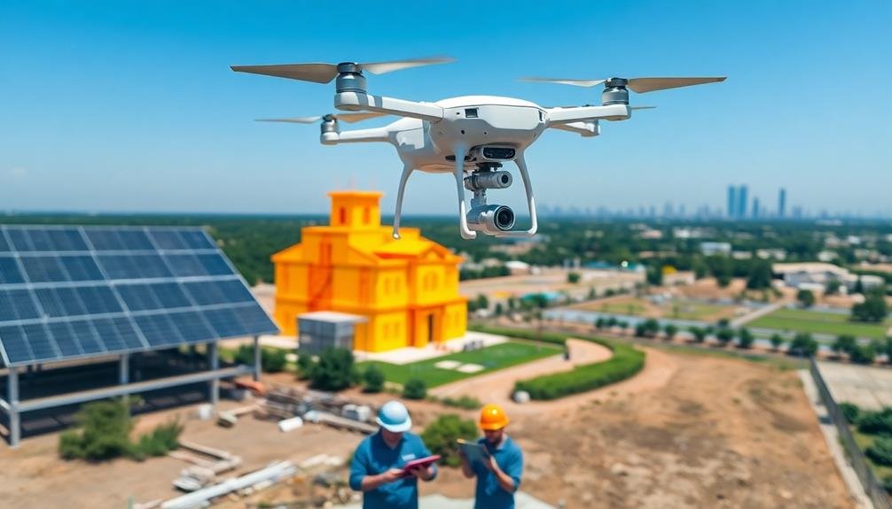
Drones have become invaluable tools for conducting environmental impact assessments in construction projects. They provide a cost-effective and efficient way to gather data on ecosystems, wildlife habitats, and potential environmental hazards.
You'll find that drones can cover large areas quickly, capturing high-resolution imagery and collecting data that would be difficult or impossible to obtain through traditional ground-based methods.
With drones, you can:
- Monitor air quality and emissions
- Track changes in vegetation and land use
- Identify potential contamination sources
- Assess noise pollution levels
- Detect erosion and sediment runoff
Frequently Asked Questions
How Long Does It Take to Train Construction Personnel to Operate Drones?
You'll find drone training for construction personnel varies widely. It can take a few days to several weeks, depending on the complexity of the drone and your existing skills. Expect to invest time in both theory and hands-on practice.
What Are the Legal Requirements for Using Drones on Construction Sites?
You'll need to obtain a remote pilot certificate from the FAA, register your drone, and follow Part 107 regulations. You must also respect local laws, obtain necessary permits, and guarantee your flights don't violate privacy or safety rules.
Can Drones Be Used in All Weather Conditions for Construction Monitoring?
You can't use drones in all weather conditions. They're limited by strong winds, heavy rain, and extreme temperatures. For safety and ideal performance, you'll need to fly them in mild weather with good visibility.
How Do Drones Compare to Traditional Methods in Terms of Cost-Effectiveness?
You'll find drones are often more cost-effective than traditional methods. They save time, reduce labor costs, and provide more extensive data. You're likely to see a higher return on investment, especially for large-scale or long-term projects.
What Security Measures Are in Place to Protect Drone-Collected Construction Data?
You'll find several security measures protecting drone-collected construction data. These include encryption, secure cloud storage, access controls, and data anonymization. You're also likely to encounter regular security audits and compliance with data protection regulations.
In Summary
You've seen how drones are transforming construction quality control. They're not just fancy gadgets; they're powerful tools that enhance efficiency, safety, and accuracy. By adopting drone technology, you'll streamline your processes, reduce risks, and improve project outcomes. Don't get left behind in this technological revolution. Embrace the future of construction and start integrating drones into your quality control practices. You'll wonder how you ever managed without them.
As educators and advocates for responsible drone use, we’re committed to sharing our knowledge and expertise with aspiring aerial photographers.


Leave a Reply