
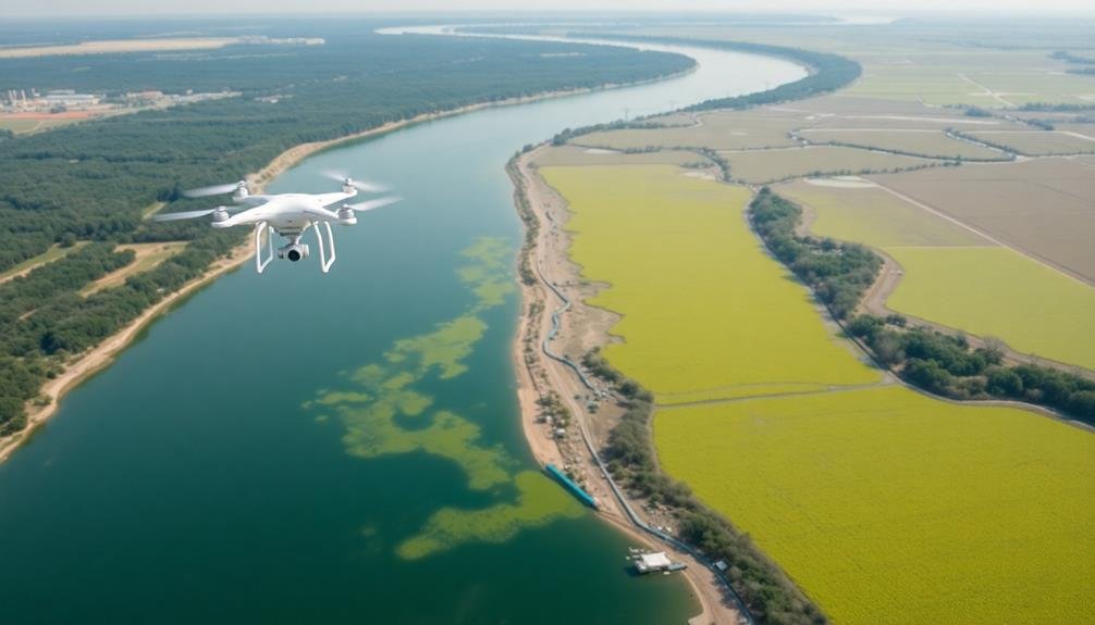
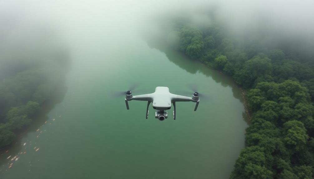
Drone technology has revolutionized river pollution surveillance, giving you a powerful "eye in the sky" for environmental monitoring. These unmanned aerial vehicles cover vast areas efficiently, equipped with high-res cameras, thermal sensors, and water sampling devices. They'll help you identify illegal dumping sites, monitor industrial discharges, and access remote areas ground methods can't reach. Drones offer a cost-effective alternative to manned aircraft, allowing for frequent deployment and timely data collection. You'll get a bird's-eye view of pollution hotspots, empowering swift action against polluters. The future of water quality management is soaring to new heights.
The Rise of Drone Technology
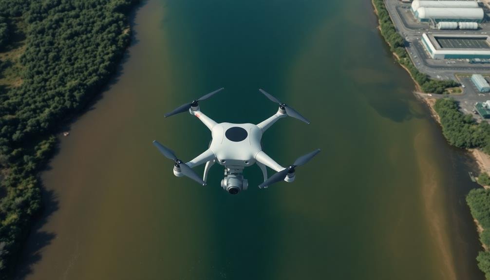
As technological advancements continue to reshape environmental monitoring, drones have emerged as a game-changing tool for river pollution surveillance. You'll find these unmanned aerial vehicles revolutionizing the way we detect and track pollutants in our waterways. With their ability to cover vast areas quickly and efficiently, drones provide a bird's-eye view of river systems, allowing you to spot pollution sources that might otherwise go unnoticed.
You can equip drones with high-resolution cameras, thermal imaging sensors, and water sampling devices to gather extensive data on river health. They'll help you identify illegal dumping sites, monitor industrial discharges, and track the spread of pollutants downstream. You'll appreciate how drones can access remote or dangerous areas that were previously challenging to survey.
The rise of drone technology has also made river pollution surveillance more cost-effective. You'll no longer need to rely solely on expensive manned aircraft or time-consuming ground surveys. Instead, you can deploy drones frequently, ensuring more timely and accurate data collection.
This technology empowers you to take swift action against polluters and protect our essential water resources more effectively than ever before.
Understanding River Pollution Sources
You'll encounter two main categories of river pollution sources: point and nonpoint.
Point sources are easily identifiable, like industrial discharge pipes, while nonpoint sources are more diffuse, such as agricultural runoff that carries fertilizers and pesticides into waterways.
Understanding these sources is essential, as both industrial effluents and agricultural runoff can severely impact river ecosystems, affecting water quality and aquatic life.
Point and Nonpoint Sources
River pollution stems from two primary categories: point sources and nonpoint sources.
Point sources are easily identifiable, specific locations where pollutants enter waterways. You'll find these at industrial facilities, wastewater treatment plants, and factories. They're often regulated and monitored due to their distinct discharge points.
Nonpoint sources, on the other hand, are more diffuse and harder to pinpoint. They result from runoff carrying pollutants over large areas. You'll encounter these in agricultural fields, urban streets, and construction sites. Rainwater and snowmelt pick up contaminants like fertilizers, pesticides, oil, and sediment, eventually depositing them into rivers.
To effectively monitor river pollution, you need to understand both types. Point sources can be addressed through permits and treatment technologies. Nonpoint sources require broader strategies like land-use management and public education.
You'll find that tackling nonpoint pollution is often more challenging due to its widespread nature. By recognizing these distinctions, you can better target surveillance efforts and develop extensive pollution control measures for river ecosystems.
Agricultural Runoff Impacts
You'll notice that sediment from eroded farmland also plays a role. It clouds water, reducing sunlight penetration and harming aquatic plants.
Pesticides in runoff can be toxic to fish and other aquatic life, disrupting food chains and biodiversity.
To combat these issues, you can implement buffer zones along riverbanks, use precision agriculture techniques, and adopt conservation tillage practices.
You'll find that proper manure management and responsible pesticide use greatly reduce runoff impacts.
By monitoring water quality indicators like nitrogen and phosphorus levels, you can assess the effectiveness of these measures.
Industrial Discharge Effects
Industrial discharge remains a significant contributor to river pollution, often introducing a cocktail of harmful chemicals and waste products. You'll find that many industries, including manufacturing, mining, and energy production, release effluents containing heavy metals, organic compounds, and other pollutants directly into rivers.
These discharges can have severe consequences on aquatic ecosystems. You'll notice changes in water quality, such as increased acidity or alkalinity, elevated temperatures, and reduced oxygen levels. This can lead to fish kills, algal blooms, and the decline of sensitive species.
You'll also see bioaccumulation of toxins in the food chain, affecting not only aquatic life but also humans who consume fish from polluted rivers. Industrial pollutants can contaminate drinking water sources, posing health risks to nearby communities.
To address this issue, you'll need to implement strict regulations and monitoring systems. Advanced treatment technologies, such as activated carbon filtration and membrane bioreactors, can help reduce the impact of industrial discharges.
You should also encourage industries to adopt cleaner production methods and circular economy principles to minimize waste generation and water consumption.
Advantages of Aerial Surveillance

In recent years, aerial surveillance has emerged as a game-changer in monitoring river pollution. You'll find that this approach offers several key advantages over traditional ground-based methods.
First, it provides a bird's-eye view of large areas, allowing you to quickly identify pollution hotspots and track the spread of contaminants along the river's course. You can cover vast stretches of waterways in a fraction of the time it'd take using boats or land vehicles. This efficiency is vital when dealing with time-sensitive pollution events.
Aerial surveillance also helps you access remote or hard-to-reach areas that might be inaccessible by ground. Using drones or aircraft equipped with high-resolution cameras and sensors, you'll capture detailed imagery and data on water quality, temperature, and color variations. This information is invaluable for detecting illegal discharges, monitoring algal blooms, and evaluating the overall health of the river ecosystem.
Moreover, you'll benefit from the non-intrusive nature of aerial surveillance. It doesn't disturb wildlife or interfere with river activities, ensuring accurate observations of pollutants and their effects on the environment.
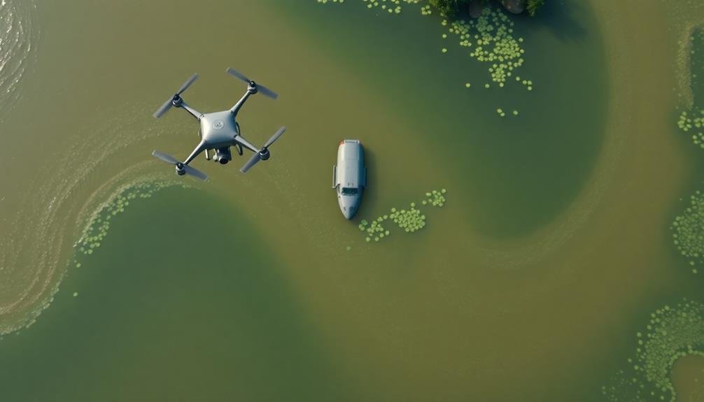
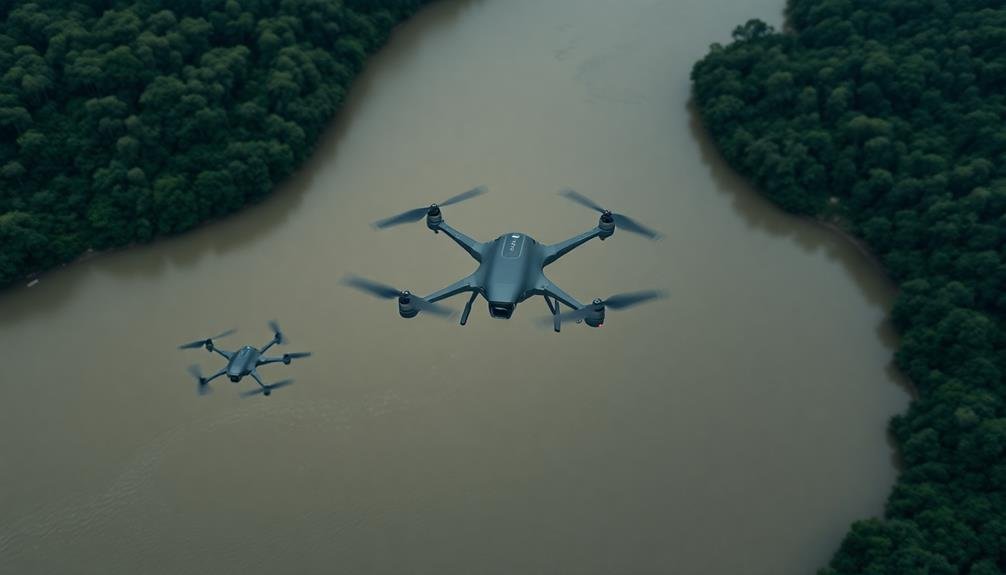
Types of Drones for Monitoring
For river pollution surveillance, several types of drones have proven effective.
You'll find that fixed-wing drones are ideal for covering large areas quickly. They can fly for extended periods, allowing you to survey long stretches of river in a single flight. These drones are perfect for initial assessments and detecting widespread pollution issues.
Multirotor drones offer greater maneuverability and hover capabilities. You can use them to inspect specific areas of concern more closely, such as discharge points or suspected pollution sources. They're excellent for capturing detailed imagery and water samples when equipped with specialized sensors or collection devices.
Amphibious drones are a unique option that can operate both in the air and on water. You'll find them useful for collecting water samples directly and monitoring pollution levels at various depths. These versatile drones can provide valuable data on water quality and contamination levels.
Thermal imaging drones help you detect temperature differences in water, which can indicate pollution hotspots or illegal discharges. You can use them to identify areas where pollutants are mixing with river water, even when not visible to the naked eye.
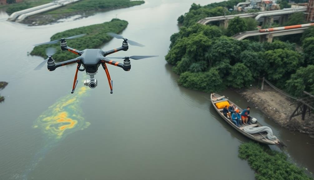
Thermal Imaging for Pollutant Detection
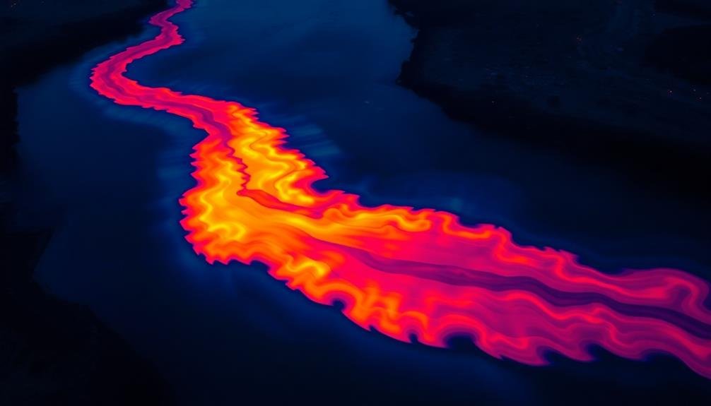
You'll find thermal imaging to be a powerful tool in detecting river pollutants.
By identifying heat signatures, you can spot unusual warm or cool areas that may indicate contamination.
You can also analyze thermal plumes and detect temperature anomalies, which often reveal the presence of pollutants or unauthorized discharges into the river.
Heat Signature Identification
Thermal imaging technology has stepped up to play an essential role in detecting river pollution. You'll find that heat signature identification is a vital aspect of this process. As pollutants enter a river, they often create temperature variations that can be detected by thermal cameras.
You can use these cameras to identify specific heat signatures associated with different types of pollutants. For example, industrial discharges might appear as hot spots, while cooler areas could indicate groundwater seepage. You'll notice that organic pollutants, such as sewage, may create warmer patches due to bacterial activity.
By analyzing these heat patterns, you're able to pinpoint the source and extent of pollution quickly. You'll find this method particularly useful for detecting illegal discharges or monitoring known problem areas.
It's essential to recognize that heat signature identification works best when combined with other surveillance techniques. You can enhance the accuracy of your pollution detection by integrating thermal imaging data with spectral analysis and water quality measurements.
This thorough approach allows you to create a more complete picture of river health and pollution sources.
Thermal Plume Analysis
Building on heat signature identification, thermal plume analysis takes pollution detection a step further. You'll find this technique particularly useful for tracking the spread of warm water discharges from industrial sources into cooler river environments.
As you analyze thermal imagery, you'll notice distinct plume patterns that reveal how pollutants disperse and mix with the surrounding water. You can use thermal plume analysis to assess the impact of various pollution sources, such as power plant cooling water or factory effluents.
By examining the size, shape, and temperature gradients of these plumes, you'll gain valuable insights into the extent of contamination and its potential effects on aquatic ecosystems.
To conduct effective thermal plume analysis, you'll need high-resolution thermal cameras mounted on drones or satellites. These tools allow you to capture detailed temperature variations across large areas of river surfaces.
As you interpret the data, you'll be able to identify pollution hotspots, track the movement of contaminants, and even predict future dispersion patterns. This information is essential for environmental monitoring, regulatory compliance, and developing targeted mitigation strategies to protect river ecosystems from thermal pollution.
Temperature Anomaly Detection
Temperature anomaly detection expands on thermal plume analysis by focusing on identifying unexpected or unusual temperature patterns in river systems. You'll find this method particularly useful for spotting potential pollution sources that might otherwise go unnoticed.
Using thermal imaging cameras mounted on drones or satellites, you can create detailed temperature maps of rivers and their surroundings. These maps allow you to spot areas where the water temperature deviates considerably from the norm.
You'll often find that these anomalies indicate the presence of pollutants or unauthorized discharges. When you're analyzing the data, look for sudden temperature spikes or drops, which can signal industrial runoff or underground springs.
You'll also want to pay attention to persistent temperature differences that don't align with natural patterns. These could indicate long-term pollution issues.
Water Sampling With Drone Assistance
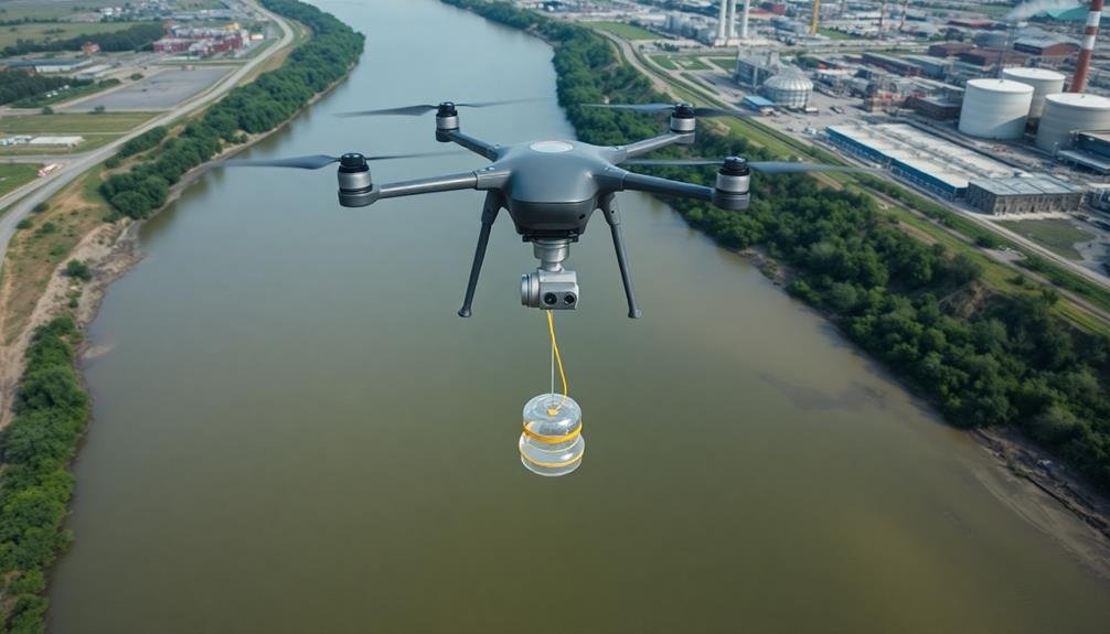
Drones have revolutionized water sampling in river pollution surveillance. You'll find these aerial assistants incredibly useful for collecting data from hard-to-reach or dangerous locations. They're equipped with specialized sampling devices that can gather water specimens from precise coordinates, ensuring accurate and consistent results.
You can program drones to follow predetermined flight paths, allowing for systematic sampling across large areas. They'll hover steadily over the water surface, lowering their sampling apparatus to collect water at various depths. This method markedly reduces the time and manpower required for traditional boat-based sampling.
You'll appreciate the real-time data transmission capabilities of these drones. As they collect samples, they can simultaneously send information about water quality parameters to your ground station. This instant feedback enables you to make quick decisions about areas that need further investigation.
Moreover, you can use drones to access contaminated or hazardous areas without risking human safety. They're particularly valuable during emergencies, such as chemical spills, where rapid assessment is essential.
Data Collection and Analysis Methods
You'll find satellite imagery techniques invaluable for large-scale river pollution monitoring, allowing you to cover vast areas efficiently.
Spectral analysis tools can help you identify specific pollutants by analyzing the unique light signatures reflected from the water's surface.
To process the immense amount of data collected, you'll want to employ machine learning algorithms, which can quickly detect patterns and anomalies that might indicate pollution events.
Satellite Imagery Techniques
Satellite imagery techniques have revolutionized river pollution surveillance, offering a bird's-eye view of vast waterways. You'll find these methods incredibly useful for monitoring large areas quickly and efficiently. They utilize various spectral bands to detect pollutants, changes in water color, and other indicators of contamination.
High-resolution satellites can capture detailed images of river systems, allowing you to identify point sources of pollution and track the spread of contaminants. You'll also be able to monitor changes over time, which is essential for understanding long-term trends and the effectiveness of cleanup efforts.
Here's a quick overview of some common satellite imagery techniques:
| Technique | Application | Advantages | Limitations |
|---|---|---|---|
| Multispectral | Detecting chlorophyll, sediments | Wide coverage | Limited spectral resolution |
| Hyperspectral | Identifying specific pollutants | High detail | Data processing intensive |
| SAR | All-weather imaging | Penetrates clouds | Complex interpretation |
| Thermal | Detecting temperature anomalies | Useful for industrial discharges | Limited to surface temperatures |
Spectral Analysis Tools
Advanced spectral analysis tools form the backbone of modern river pollution surveillance. These sophisticated instruments allow you to detect and measure various pollutants in water bodies by analyzing the light reflected or emitted from the river's surface.
You'll find that multispectral and hyperspectral sensors are particularly useful, as they can capture data across multiple wavelengths of the electromagnetic spectrum.
When using these tools, you'll need to understand how different pollutants affect the water's spectral signature. For instance, oil spills tend to increase reflectance in the near-infrared range, while algal blooms often show distinct peaks in the green and near-infrared regions.
You can use spectral libraries to compare your collected data with known pollutant signatures, enabling quick identification of contaminants.
Data processing software is essential for interpreting the vast amounts of spectral information you'll gather. These programs can help you perform tasks like atmospheric correction, spectral unmixing, and change detection.
Machine Learning Algorithms
Machine learning algorithms have revolutionized data collection and analysis methods in river pollution surveillance. These powerful tools enable you to process vast amounts of data quickly and accurately, identifying patterns and anomalies that might escape human observers.
You'll find that supervised learning algorithms, such as support vector machines and random forests, are particularly useful for classifying different types of pollutants based on spectral signatures.
Unsupervised learning techniques, like clustering algorithms, can help you discover hidden patterns in water quality data, potentially revealing new pollution sources or trends.
Deep learning models, including convolutional neural networks, excel at analyzing satellite imagery and can detect subtle changes in river color or vegetation that may indicate pollution.
You'll also benefit from reinforcement learning algorithms, which can optimize your monitoring strategies over time. These algorithms learn from past observations to guide future data collection efforts, ensuring you focus on the most critical areas.
Mapping Pollution Hotspots From Above
Three cutting-edge technologies have revolutionized the way we identify river pollution hotspots from above. Satellite imagery, drones, and hyperspectral sensors now enable you to detect and map pollution with unprecedented accuracy and efficiency.
Satellite imagery provides a broad view of river systems, allowing you to spot large-scale pollution events and track their progression over time. You'll use high-resolution imagery to identify discoloration, algal blooms, and other visible signs of contamination.
Drones offer a more flexible and cost-effective solution for detailed, localized mapping. You can deploy them quickly to survey specific areas of concern, capturing high-resolution images and video footage. They're particularly useful for accessing hard-to-reach locations and monitoring remote stretches of rivers.
Hyperspectral sensors, mounted on both satellites and drones, take pollution detection to the next level. These advanced instruments capture data across hundreds of spectral bands, enabling you to identify specific pollutants based on their unique spectral signatures.
You'll use this technology to detect a wide range of contaminants, including oil spills, chemical runoff, and heavy metals.
Real-Time Monitoring Capabilities
Building on these remote sensing techniques, real-time monitoring systems now offer continuous surveillance of river pollution. You'll find these systems equipped with advanced sensors that detect various pollutants, from chemical contaminants to microplastics. They're strategically placed along riverbanks or mounted on buoys, transmitting data to central control stations 24/7.
You can access this information through user-friendly dashboards, allowing you to track pollution levels in real-time. This immediate data helps you make quick decisions and take swift action when pollution spikes occur. It's a game-changer for environmental protection agencies and local authorities.
Here's a breakdown of the key components in real-time river monitoring:
| Component | Function |
|---|---|
| Sensors | Detect pollutants |
| Data loggers | Record measurements |
| Transmitters | Send data to stations |
| Control stations | Process incoming data |
| Dashboards | Display information |
You'll appreciate how these systems can trigger automated alerts when pollution levels exceed predetermined thresholds. This rapid response capability guarantees you're always one step ahead in safeguarding river ecosystems. With real-time monitoring, you're not just observing; you're actively protecting our waterways from the constant threat of pollution.
Legal Considerations for Drone Usage
When using drones for river pollution surveillance, you must comply with airspace regulations set by aviation authorities.
You'll need to obtain necessary permits, adhere to flight restrictions, and guarantee your operators are properly certified.
Additionally, you should implement privacy protection measures to safeguard individuals and properties near the surveyed areas.
Airspace Regulations Compliance
Legal considerations for drone usage in river pollution surveillance are essential to guarantee compliance with airspace regulations. You'll need to familiarize yourself with local, state, and federal laws governing unmanned aerial vehicles (UAVs).
In the United States, the Federal Aviation Administration (FAA) sets rules for drone operations. You must register your drone if it weighs more than 0.55 pounds and obtain a Remote Pilot Certificate if you're flying for commercial purposes.
When conducting river pollution surveillance, you'll need to adhere to specific airspace restrictions. Don't fly your drone above 400 feet or near airports without proper authorization. Be aware of temporary flight restrictions and no-fly zones.
You're required to maintain visual line of sight with your drone at all times and avoid flying over people or moving vehicles.
Privacy laws also come into play. Make sure you're not infringing on private property rights or capturing images that could violate individuals' privacy.
It's vital to obtain necessary permits for flying over protected areas or conducting environmental research. By staying informed and complying with these regulations, you'll avoid legal issues and contribute to effective river pollution monitoring efforts.
Privacy Protection Measures
Beyond legal compliance, implementing robust privacy protection measures is vital when using drones for river pollution surveillance. You'll need to take into account the privacy rights of individuals and properties near the waterways you're monitoring.
Start by clearly defining your drone's flight path and stick to it, avoiding unnecessary flyovers of private land. Make sure your drones are equipped with geo-fencing technology to prevent them from straying into restricted areas.
You should also blur or pixelate any identifiable individuals or private property in your captured footage before storing or sharing it. It's imperative to have a data protection policy in place, outlining how you'll collect, store, and use the information gathered.
You must inform the public about your surveillance activities. Post notices in areas where you'll be operating drones and maintain a website with information about your project.
Think about implementing a system for residents to check flight schedules or request temporary no-fly zones over their property. By prioritizing transparency and respecting privacy concerns, you'll build trust with the community and make certain your river pollution surveillance program operates ethically and effectively.
Cost-Effectiveness of Aerial Monitoring
Aerial monitoring of river pollution has emerged as a cost-effective solution for environmental agencies and researchers. You'll find that drones and satellite imagery offer a more efficient way to survey large areas compared to traditional ground-based methods. By using these technologies, you're able to cover extensive river systems in a fraction of the time and with fewer personnel.
The cost-effectiveness of aerial monitoring becomes evident when you consider these factors:
- Reduced labor costs: You'll need fewer staff members to conduct surveys.
- Time savings: You can cover vast areas quickly, allowing for more frequent monitoring.
- Accessibility: You'll reach remote or dangerous areas without risking human safety.
- Data quality: You'll obtain high-resolution imagery and consistent data across large regions.
You'll also find that the initial investment in aerial monitoring equipment is offset by long-term savings. As you continue to use these technologies, you'll gather more thorough data sets that enable better decision-making and more targeted interventions.
This efficiency translates to a more effective use of resources in combating river pollution, ultimately leading to improved environmental outcomes and reduced cleanup costs.
Challenges in Drone-Based Surveillance
Drone technology's rapid advancement has brought both opportunities and obstacles to river pollution surveillance. You'll face several challenges when implementing drone-based monitoring systems.
First, you must navigate complex regulations governing drone use, which vary by country and region. These laws often restrict flight altitudes, distances, and no-fly zones, limiting your coverage area.
Weather conditions pose another significant hurdle. Strong winds, rain, and extreme temperatures can affect drone performance and data quality. You'll need to plan flights carefully and invest in weather-resistant equipment.
Battery life limitations also constrain your surveillance capabilities, requiring frequent landings and battery changes for extended missions.
Data management and analysis present additional challenges. You'll collect vast amounts of imagery and sensor data, necessitating robust storage and processing systems.
Developing algorithms to automatically detect pollution incidents can be complex and time-consuming. Privacy concerns may arise when surveilling areas near private property, requiring you to implement strict data handling protocols.
Integration With Existing Monitoring Systems

Integrating drone-based surveillance with existing monitoring systems presents both opportunities and challenges. You'll need to take into account how drone data can complement and enhance current monitoring methods. This integration can lead to more thorough and accurate river pollution assessments.
To successfully integrate drone surveillance, you should:
- Confirm data compatibility between drone systems and existing databases
- Develop standardized protocols for data collection and analysis
- Train personnel to interpret and utilize combined data sets
- Implement secure data sharing mechanisms across different agencies
You'll find that drones can fill gaps in current monitoring networks, providing high-resolution imagery and real-time data in areas that are difficult to access.
However, you must address potential conflicts between drone operations and traditional monitoring methods. You'll need to synchronize drone flights with existing sampling schedules and confirm that drone activities don't interfere with ongoing monitoring efforts.
Future Developments in Drone Technology
On the horizon of river pollution surveillance, exciting advancements in drone technology promise to revolutionize monitoring capabilities.
You'll soon see drones with extended flight times, allowing for longer missions and broader coverage areas. Improved battery technology and more efficient propulsion systems will make this possible, enabling drones to monitor larger stretches of rivers without needing frequent recharging.
You can expect enhanced sensor technology to provide more accurate and diverse data collection. Future drones will likely feature multi-spectral cameras, capable of detecting subtle changes in water color and composition that indicate pollution.
They'll also incorporate advanced chemical sensors to identify specific pollutants in real-time.
Artificial intelligence and machine learning algorithms will play a vital role in analyzing the vast amounts of data collected by these drones.
You'll see systems that can automatically detect anomalies and predict potential pollution events before they become severe.
Swarm technology is another exciting development you should watch for.
Multiple drones working in coordination will allow for simultaneous monitoring of different river sections, providing a more thorough picture of water quality across entire watersheds.
Frequently Asked Questions
How Do Drones Communicate Pollution Data to Ground Stations in Real-Time?
You'll find drones transmit pollution data to ground stations in real-time using wireless technologies. They're equipped with sensors that collect information, which is then sent via radio signals, 4G/5G networks, or satellite communications to receivers on the ground.
Can Drones Detect Microplastics in Rivers Using Current Technology?
You'll find that drones can't directly detect microplastics in rivers yet. They're equipped with cameras and sensors, but current technology isn't sensitive enough. However, drones can collect water samples for lab analysis of microplastics.
What Training Is Required for Drone Operators in River Pollution Surveillance?
You'll need training in drone piloting, environmental sampling, and data analysis. You should learn about water quality parameters, pollution indicators, and relevant regulations. It's essential to master flight planning, safety protocols, and equipment maintenance for effective surveillance.
How Do Weather Conditions Affect the Accuracy of Drone-Based Pollution Monitoring?
Weather conditions greatly impact your drone-based pollution monitoring accuracy. You'll find that rain, wind, and cloud cover can interfere with sensors and cameras. Sunlight glare may also affect water surface visibility during your surveillance operations.
Are There International Standards for River Pollution Data Collected by Drones?
You'll find there aren't yet universal standards for drone-collected river pollution data. However, some organizations are working to develop guidelines. You should check with local environmental agencies for any regional standards they've implemented for drone monitoring.
In Summary
You've seen how drone technology is revolutionizing river pollution surveillance. You're now aware of the advantages, types, and challenges of aerial monitoring. You understand the cost-effectiveness and integration potential with existing systems. As you look to the future, you'll witness even more advanced developments in drone technology. Remember, these eyes in the sky are becoming an essential tool in protecting our waterways. It's an exciting time for environmental monitoring.
As educators and advocates for responsible drone use, we’re committed to sharing our knowledge and expertise with aspiring aerial photographers.


Leave a Reply