
Drones are transforming crop inventory control in agriculture, offering you powerful tools for precision farming. They excel in aerial crop counting, providing accurate plant counts across vast fields. You'll gain insights into plant health through advanced imaging, detecting issues invisible to the naked eye. Drones enhance yield prediction accuracy, combining imagery with historical data. They're invaluable for early weed and pest detection, enabling targeted treatments. You can optimize irrigation management with detailed moisture maps. Drones improve harvest timing precision and facilitate selective harvesting strategies. Finally, they create accurate field boundary maps for better planning. These innovations are just the tip of the iceberg in drone-powered agriculture.
Aerial Crop Counting
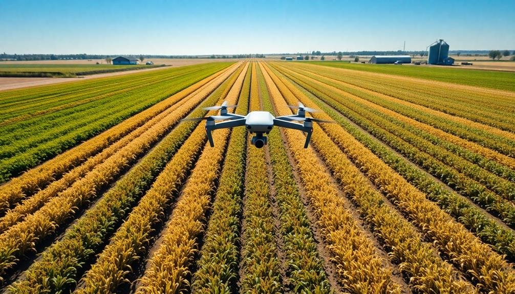
How do farmers accurately count their crops across vast fields? The answer lies in drone technology. You'll find that drones equipped with high-resolution cameras and advanced sensors can efficiently perform aerial crop counting, revolutionizing inventory management in agriculture.
When you use drones for crop counting, you're able to cover large areas quickly and accurately. These unmanned aerial vehicles fly over fields, capturing detailed images of crops from various angles. The data collected is then processed using specialized software that employs machine learning algorithms to identify and count individual plants.
You'll appreciate the precision this method offers compared to traditional manual counting or satellite imagery. Drones can detect subtle variations in plant size, spacing, and health, providing you with a more thorough inventory assessment.
This technology allows you to identify areas of poor germination, estimate crop yields, and make informed decisions about resource allocation.
Plant Health Assessment
You'll find drones invaluable for evaluating plant health in your fields.
These aerial devices can quickly detect signs of crop stress, allowing you to address issues before they become severe.
Additionally, drones equipped with specialized sensors can monitor nutrient deficiencies across large areas, helping you optimize fertilizer application and improve overall crop productivity.
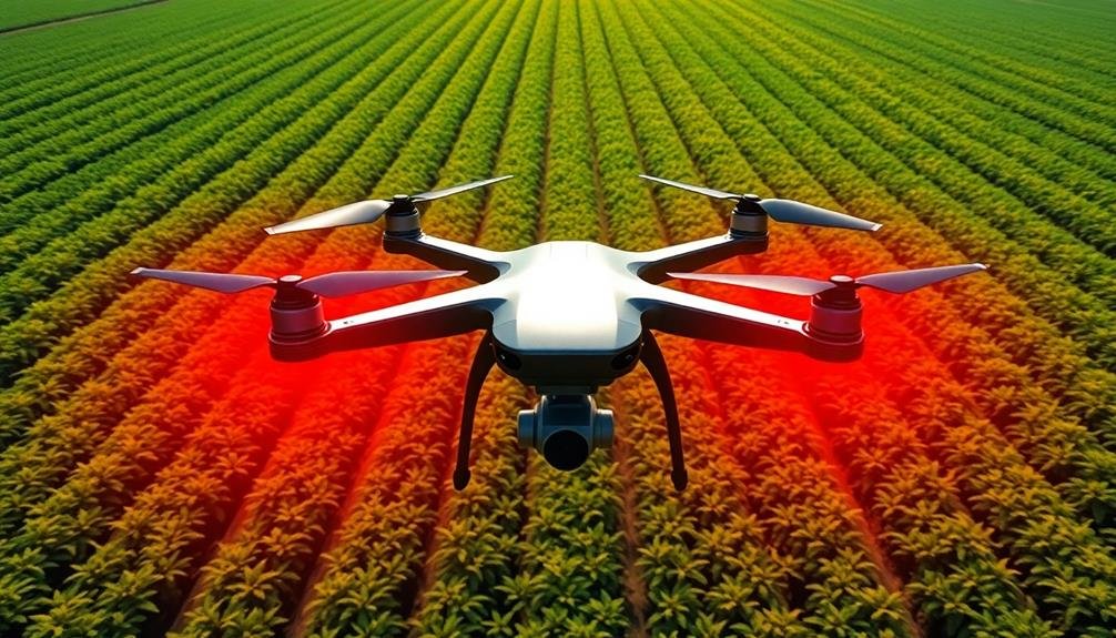
Detecting Crop Stress
Drones equipped with specialized sensors revolutionize the way farmers monitor crop health. You can now detect crop stress early, allowing for timely interventions. These aerial systems use multispectral and thermal imaging to identify issues invisible to the naked eye.
With multispectral cameras, you'll capture light reflectance data across various wavelengths. This information helps you assess plant vigor, chlorophyll content, and overall health. You'll spot nutrient deficiencies, pest infestations, and disease outbreaks before they become severe.
Thermal imaging detects temperature variations in crops, indicating water stress. You'll identify areas with inadequate irrigation or drainage problems, enabling targeted water management. This technology also helps you detect fungal infections, which often cause temperature changes in affected plants.
By analyzing drone-collected data, you'll create detailed stress maps of your fields. These maps guide precise applications of fertilizers, pesticides, and water, reducing waste and environmental impact. You'll also use this information to adjust planting strategies and crop rotations for future seasons.
Ultimately, drone-based crop stress detection empowers you to make data-driven decisions, optimizing yields and resource use while minimizing crop losses.
Monitoring Nutrient Deficiencies
Precision is key when it comes to monitoring nutrient deficiencies in crops. Drones equipped with multispectral and hyperspectral cameras can detect subtle changes in plant health that aren't visible to the naked eye. You'll be able to identify specific nutrient deficiencies by analyzing the spectral reflectance of your crops.
By flying drones over your fields regularly, you can create detailed nutrient maps that highlight areas of concern. This data allows you to apply fertilizers and other treatments only where they're needed, reducing waste and improving overall crop health.
You'll also be able to track the effectiveness of your interventions over time, adjusting your strategies as necessary.
Using drones for nutrient monitoring can evoke powerful emotions:
- Pride in adopting cutting-edge technology
- Relief from catching issues early
- Excitement about potential yield increases
- Satisfaction in reducing environmental impact
- Confidence in making data-driven decisions
With this technology, you're not just guessing about your crops' needs. You're armed with precise, actionable data that can greatly improve your farm's productivity and sustainability.
Yield Prediction Accuracy
Leveraging advanced machine learning algorithms, drone-based yield prediction has revolutionized crop forecasting accuracy. You'll find that drones equipped with high-resolution cameras and multispectral sensors can capture detailed images of your fields, providing a wealth of data for analysis.
These images allow you to assess plant health, density, and growth stages across vast areas quickly and efficiently. By combining drone imagery with historical yield data, weather patterns, and soil information, you can create highly accurate yield prediction models.
These models can estimate crop yields weeks or even months before harvest, giving you valuable insights for planning and decision-making. You'll be able to identify areas of your fields that may underperform, allowing you to take corrective actions early on.
Drone-based yield prediction isn't just more accurate; it's also more timely and cost-effective than traditional methods. You can update your forecasts regularly throughout the growing season, adjusting for changing conditions.
This improved accuracy helps you optimize resource allocation, plan storage and transportation needs, and make informed marketing decisions. With drone technology, you're better equipped to maximize your crop's potential and boost your farm's profitability.
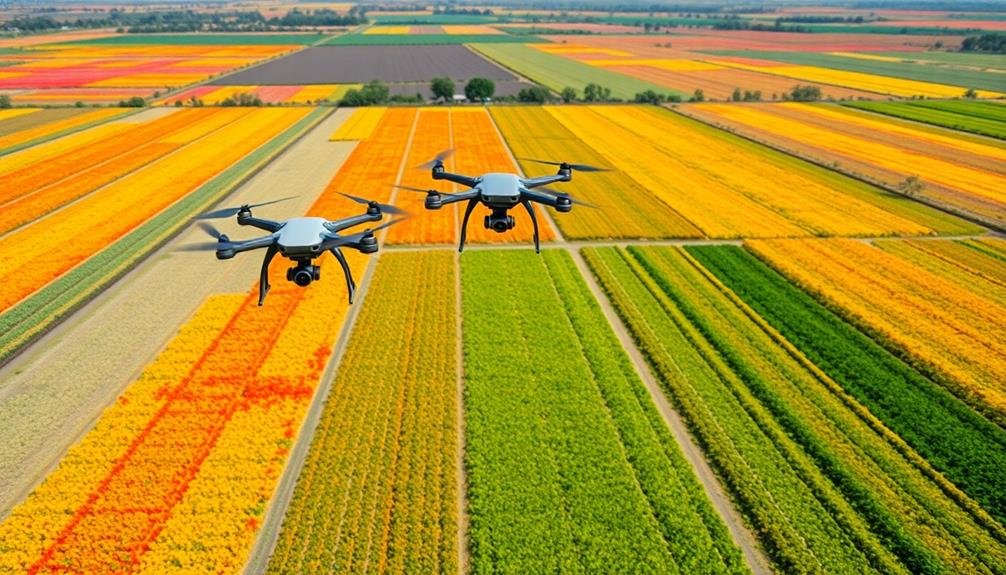
Weed and Pest Detection
Frequently, early detection of weeds and pests can make the difference between a successful harvest and crop failure.
Drone technology has revolutionized this aspect of agriculture, allowing you to spot potential threats before they become widespread problems.
Using high-resolution cameras and specialized sensors, drones can identify weed patches and pest infestations that aren't visible to the naked eye.
You'll receive detailed maps highlighting affected areas, enabling targeted treatment and reducing the need for blanket pesticide application.
This precision approach not only saves you money but also minimizes environmental impact.
You'll be able to:
- Protect your crops more effectively
- Reduce chemical usage considerably
- Improve overall yield quality
- Act swiftly to prevent pest spread
- Optimize resource allocation
Irrigation Management Optimization
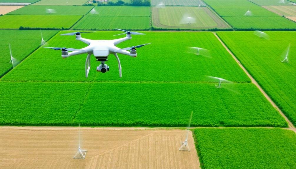
While drones excel at detecting threats to your crops, they're equally adept at managing one of agriculture's most essential resources: water.
By equipping drones with thermal cameras and multispectral sensors, you can precisely monitor soil moisture levels across your fields. This data allows you to identify areas that need more water and those that are adequately hydrated.
You'll be able to create detailed irrigation maps, showing exactly where to apply water and in what quantities. This precision reduces water waste and guarantees each plant receives ideal hydration.
Drones can also help you detect irrigation system malfunctions, such as leaks or blockages, allowing for quick repairs and preventing crop damage.
Harvest Timing Precision
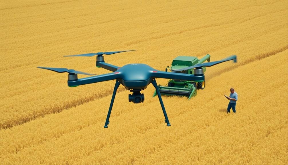
You'll find drones revolutionizing harvest timing precision through advanced imaging capabilities.
These aerial tools enable you to assess crop maturity with unprecedented accuracy, allowing for strategic selective harvesting.
Optimal Maturity Assessment
Farmers face a critical challenge in determining the perfect moment to harvest their crops. That's where drones come in, revolutionizing the way you assess crop maturity. These aerial helpers provide you with a bird's-eye view of your fields, allowing you to spot subtle changes in color, texture, and overall plant health that might be missed from the ground.
By using drones equipped with multispectral cameras, you'll get detailed insights into your crops' physiological state. These cameras capture data across various light spectrums, revealing information about chlorophyll content, water stress, and nutrient levels. This data helps you make informed decisions about harvest timing, guaranteeing you reap your crops at peak quality and yield.
Drones' impact on ideal maturity assessment:
- Reduces crop losses due to over-ripening
- Maximizes yield potential and market value
- Minimizes the risk of weather-related damage
- Improves resource allocation and labor planning
- Enhances overall farm profitability
With drone technology, you're no longer relying solely on visual inspections or manual sampling. You'll have access to extensive, real-time data that allows you to pinpoint the ideal harvest window for different sections of your fields.
This precision guarantees you're maximizing the quality and quantity of your harvest, ultimately boosting your farm's productivity and profitability.
Selective Harvesting Strategies
Building on the precision of ideal maturity assessment, selective harvesting strategies take crop management to the next level.
With drones, you can implement targeted harvesting techniques that maximize yield quality and efficiency. You'll be able to pinpoint specific areas of your field that are ready for harvest, while leaving less mature sections to continue developing.
By using high-resolution imagery and multispectral sensors, you can create detailed maps of crop maturity across your fields. These maps will guide your harvesting equipment, ensuring you're only collecting produce at its peak. You'll reduce waste by avoiding premature harvests and prevent over-ripening by not missing prime harvest windows.
You can also use drones to identify variations in crop health and adjust your harvesting strategy accordingly.
For instance, you might prioritize harvesting areas affected by pests or diseases to prevent further spread. This targeted approach allows you to salvage crops before they deteriorate, maximizing your overall yield.
Yield Prediction Accuracy
As harvest season approaches, accurate yield prediction becomes essential for optimizing farm operations. You'll find that drones equipped with multispectral cameras and advanced sensors can provide precise data on crop health, growth patterns, and potential yields.
By analyzing this information, you're able to make more informed decisions about harvest timing and resource allocation.
Drones can capture high-resolution imagery of your fields, allowing you to:
- Identify areas of stress or disease before they become visible to the naked eye
- Detect variations in plant density and vigor across different sections
- Estimate crop maturity levels with greater accuracy
- Predict yields for specific field zones, enabling targeted harvesting
- Optimize harvest schedules to maximize crop quality and market value
You'll appreciate how drone-based yield prediction improves your overall efficiency. By knowing which areas of your fields are likely to produce higher yields, you can plan your harvesting routes more effectively.
This precision allows you to allocate labor and equipment resources where they're needed most, reducing waste and improving productivity. Additionally, accurate yield predictions help you better manage storage and transportation logistics, ensuring you're prepared for the expected harvest volume.
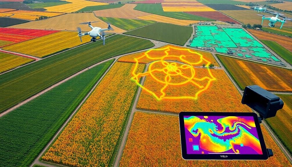
Field Boundary Mapping
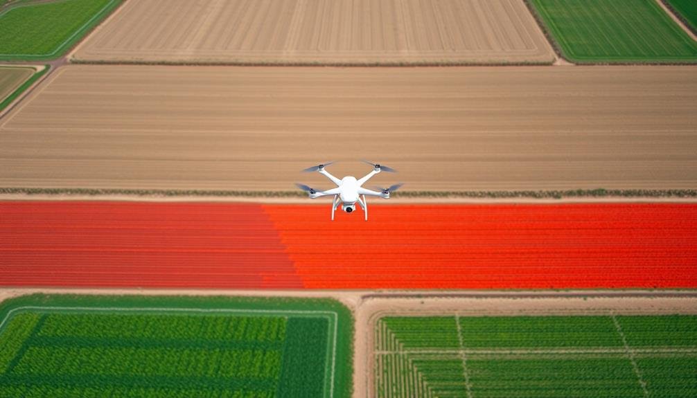
With the advent of drone technology, field boundary mapping has become more accurate and efficient than ever before. You'll find that drones equipped with high-resolution cameras and GPS systems can capture detailed imagery of your fields, allowing you to create precise boundary maps quickly and easily.
These aerial surveys provide you with a bird's-eye view of your entire farm, helping you identify irregularities in field shapes and sizes that mightn't be apparent from ground level. You can use this information to optimize your planting strategies, calculate exact field areas, and plan irrigation systems more effectively.
Drone-based mapping also helps you detect encroachments, resolve property disputes, and guarantee compliance with regulations. You'll be able to update your field boundaries regularly, keeping track of any changes due to erosion, land acquisitions, or sales.
Frequently Asked Questions
What Regulations Govern the Use of Drones in Agricultural Settings?
You'll need to follow FAA regulations for drone use in agriculture. These include registering your drone, obtaining a remote pilot certificate, flying below 400 feet, and maintaining visual line-of-sight. State laws may also apply.
How Much Do Agricultural Drone Systems Typically Cost for Farmers?
You'll find agricultural drone systems typically cost between $1,000 to $20,000. The price varies based on features, sensors, and software. You can start with a basic setup or invest in more advanced systems for extensive data collection.
Can Drones Be Used Effectively in All Weather Conditions?
You can't use drones effectively in all weather conditions. They're limited by strong winds, heavy rain, and extreme temperatures. However, you'll find many models designed for moderate weather challenges, allowing year-round use with some restrictions.
What Training Is Required to Operate Drones for Crop Inventory Control?
To operate drones for crop inventory control, you'll need training in drone piloting, safety regulations, and data analysis. You should also learn about agricultural practices, crop monitoring techniques, and how to interpret aerial imagery for inventory purposes.
How Do Drones Integrate With Existing Farm Management Software Systems?
You'll find drones seamlessly integrate with farm management software. They'll sync data, upload imagery, and update inventory counts automatically. You can access real-time information, generate reports, and make informed decisions through your existing software platform.
In Summary
You've seen how drones revolutionize crop inventory control in agriculture. They're not just flying cameras; they're powerful tools that transform how you manage your fields. From counting plants to predicting yields, these aerial assistants give you unprecedented insights. They'll help you optimize irrigation, time your harvest perfectly, and even map your field boundaries. Embrace this technology, and you'll boost efficiency, reduce waste, and maximize your farm's potential. The future of agriculture is in the skies.
As educators and advocates for responsible drone use, we’re committed to sharing our knowledge and expertise with aspiring aerial photographers.


Leave a Reply