
Revolutionize your farm's productivity with these five smart tips for precision fertilizer planning using UAVs. First, map your fields accurately using high-resolution aerial imagery. Then, analyze crop health patterns by employing multispectral and thermal cameras. Next, optimize fertilizer application rates with variable-rate technology based on collected data. Time your fertilizer applications by synchronizing them with crop growth stages and environmental conditions. Finally, monitor post-application results to refine your strategies continually. By implementing these UAV-driven techniques, you'll maximize nutrient efficiency, reduce costs, and boost crop yields. Discover how these advanced methods can transform your agricultural practices.
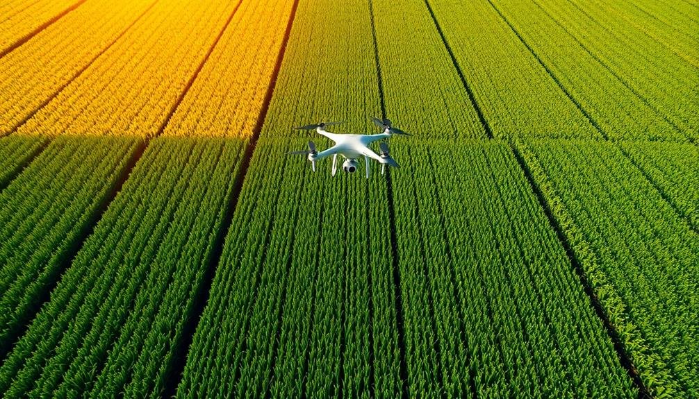
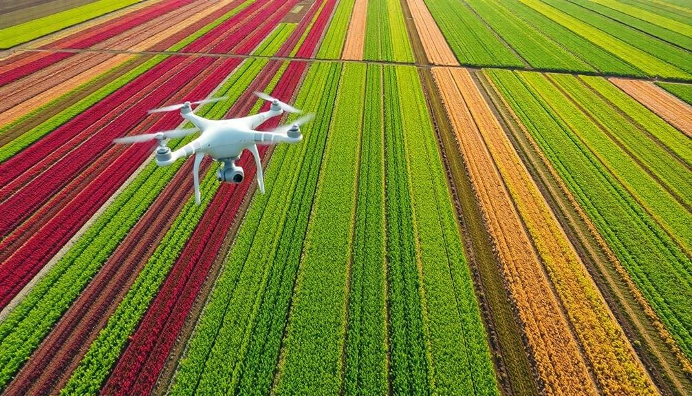
Map Your Fields Accurately

The first step in precision fertilizer planning with UAVs is to create an accurate map of your fields. This mapping process is essential for understanding the unique characteristics of your land and optimizing your fertilizer application.
Use a UAV equipped with high-resolution cameras and sensors to capture detailed aerial imagery of your entire farm. Fly your drone at a consistent altitude and speed, ensuring complete coverage of your fields. The UAV will collect data on topography, soil composition, and crop health.
Once you've gathered the raw data, use specialized software to stitch the images together and create a thorough field map. This map will serve as your foundation for precision fertilizer planning.
It'll highlight variations in soil types, drainage patterns, and crop performance across your fields. You'll be able to identify areas that may require different fertilizer treatments or application rates.
With an accurate field map, you can divide your land into management zones based on soil characteristics and crop needs. This zoning approach allows you to tailor your fertilizer strategy to specific areas, maximizing efficiency and reducing waste.
You'll save money on inputs while potentially boosting crop yields.
Analyze Crop Health Patterns
Having mapped your fields, it's time to focus on analyzing crop health patterns. UAVs equipped with multispectral and thermal cameras can capture detailed images of your crops, revealing essential information about their health and stress levels. These images allow you to identify areas of nutrient deficiency, pest infestations, or water stress that mightn't be visible to the naked eye.
Pay close attention to color variations in the imagery. Healthy vegetation typically appears bright red in near-infrared images, while stressed plants show up as duller shades. Look for patterns or clusters of stressed areas, as these may indicate systemic issues requiring intervention.
Thermal imaging can help detect temperature differences, which often correlate with water stress or soil compaction problems.
Use specialized software to analyze the data and create vegetation index maps, such as NDVI (Normalized Difference Vegetation Index). These maps provide a quantitative measure of crop health and can highlight subtle variations across your fields.
Optimize Fertilizer Application Rates
Armed with detailed crop health data, you're ready to fine-tune your fertilizer strategy. Use the UAV-collected information to create precise fertilizer application maps. These maps should highlight areas requiring different nutrient levels, allowing you to tailor your approach for each section of your field.
Consider variable-rate technology (VRT) to apply fertilizer at varying rates across your field. This method guarantees that each area receives the exact amount of nutrients it needs, reducing waste and optimizing crop growth. Integrate your UAV data with your VRT system for seamless implementation.
Don't forget to factor in soil type, topography, and historical yield data when determining application rates. Cross-reference this information with your UAV-gathered insights to create a thorough fertilization plan.
Adjust your rates based on crop growth stages, weather conditions, and seasonal variations.
Regularly monitor your crops' response to the optimized fertilizer application. Use your UAV to conduct follow-up surveys, tracking changes in crop health and adjusting your strategy as needed.
This iterative process will help you continually refine your fertilizer application rates, maximizing efficiency and yield potential while minimizing environmental impact.
Time Your Fertilizer Applications

Timing is essential when it comes to fertilizer applications. You'll want to synchronize your fertilizer schedule with your crops' growth stages and nutrient demands. UAVs can help you pinpoint the ideal timing by providing real-time data on crop health and soil conditions.
Use your UAV to conduct regular field surveys, monitoring crop development and stress indicators. This information will guide your decision-making process, allowing you to apply fertilizers when plants need them most. For example, you might schedule nitrogen applications during rapid growth phases or before key yield-determining periods.
Pay attention to weather forecasts and soil moisture levels. You'll want to avoid applying fertilizers before heavy rainfall to prevent runoff and nutrient loss. Conversely, guarantee adequate soil moisture for nutrient uptake. UAVs equipped with thermal sensors can help you assess soil moisture across your fields.
Consider split applications rather than a single, large dose. This approach allows you to fine-tune nutrient delivery based on ongoing crop needs and environmental conditions.
Your UAV's frequent monitoring capabilities make this precision timing strategy more feasible and effective, maximizing nutrient use efficiency and minimizing environmental impact.
Monitor Post-Application Results
After applying fertilizer, it's crucial to monitor the results to guarantee your efforts are paying off. UAVs equipped with multispectral cameras can help you track crop health and nutrient uptake over time. Fly your drone regularly to capture images of your fields, focusing on areas where you've applied fertilizer.
These images will reveal patterns in plant growth and chlorophyll content, indicating how well your crops are responding to the nutrients.
Use specialized software to analyze the drone imagery and create NDVI (Normalized Difference Vegetation Index) maps. These maps will highlight areas of strong growth and potential nutrient deficiencies. Compare the results to your pre-application data to assess the effectiveness of your fertilizer strategy.
If you notice uneven growth or persistent problem areas, you may need to adjust your approach.
Don't forget to ground-truth your aerial observations. Walk your fields to inspect plants up close and take soil samples in areas of concern.
This combination of UAV data and on-the-ground observations will give you an all-encompassing understanding of your fertilizer's impact. Use this information to fine-tune your nutrient management plan for future applications, ensuring ideal crop health and yield.
Frequently Asked Questions
How Do UAVS Handle Windy Conditions During Fertilizer Application?
You'll find UAVs equipped with advanced stabilization systems to handle wind. They'll adjust flight patterns, reduce speed, and lower altitude when necessary. Some models even use wind-resistant nozzles to guarantee precise fertilizer application in breezy conditions.
What Is the Average Cost of Implementing UAV Technology for Fertilizer Planning?
You'll find UAV technology for fertilizer planning costs vary widely. On average, you're looking at $5,000 to $20,000 for a basic setup. This includes the drone, sensors, software, and initial training. Ongoing costs differ too.
Are There Any Legal Restrictions on Using UAVS for Agricultural Purposes?
Yes, there are legal restrictions on using UAVs for agriculture. You'll need to comply with your country's aviation regulations, obtain necessary licenses, and follow rules on flight altitude, weight limits, and no-fly zones.
How Long Does It Take to Train Staff to Operate UAVS Effectively?
You'll need to invest time in training staff to operate UAVs effectively. It typically takes 2-4 weeks of hands-on practice and theoretical learning. However, the exact duration depends on your team's existing skills and the complexity of operations.
Can UAVS Be Used for Other Farm Management Tasks Besides Fertilizer Planning?
You can use UAVs for various farm tasks beyond fertilizer planning. They're great for crop monitoring, pest detection, irrigation management, and yield estimation. You'll find they're versatile tools that can greatly improve your overall farm management efficiency.
In Summary
You've now got the tools to revolutionize your fertilizer planning with UAVs. By mapping fields, analyzing crop health, optimizing application rates, timing applications precisely, and monitoring results, you'll maximize efficiency and minimize waste. Remember, precision is key. As you implement these smart tips, you'll see improved crop yields, reduced environmental impact, and increased profitability. Keep refining your approach and stay up-to-date with UAV technology to stay ahead in modern agriculture.
As educators and advocates for responsible drone use, we’re committed to sharing our knowledge and expertise with aspiring aerial photographers.


Leave a Reply