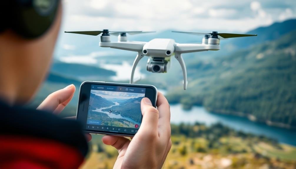
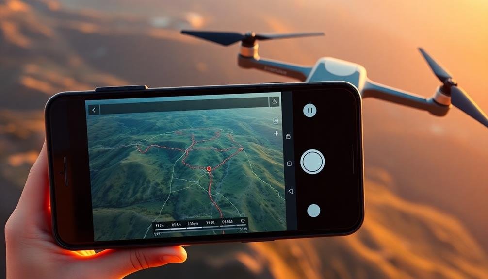
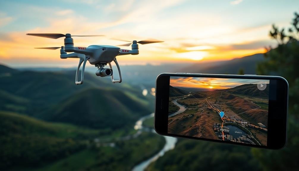
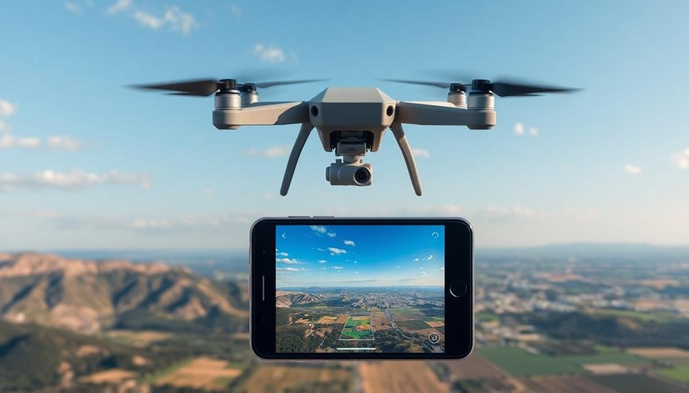
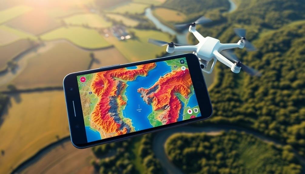
For aerial photographers, these seven top flight planning apps will elevate your drone missions: DJI GS Pro, Litchi, Pix4Dcapture, DroneDeploy, Map Pilot for DJI, Airmap, and Kittyhawk. Each offers unique features, from advanced waypoint planning to real-time airspace intelligence. You'll find tools for complex flight paths, 3D mapping, and automated mission execution. Some apps excel in photogrammetry, while others focus on regulatory compliance. Whether you're capturing stunning landscapes or conducting precise surveys, these apps streamline your workflow and enhance safety. Discover how these powerful tools can transform your aerial photography and take your drone operations to new heights.
Key Takeaways
- DJI GS Pro offers advanced flight planning for DJI drones with multiple modes and 3D mapping capabilities.
- Litchi provides versatile planning for various drone brands, including offline mission planning and community-shared flight plans.
- Pix4Dcapture specializes in precision mapping and 3D modeling with automatic flight path calculations based on desired parameters.
- DroneDeploy features an extensive ecosystem for 2D/3D mapping with real-time visualization and cloud-based processing.
- Map Pilot for DJI excels in mapping projects with terrain awareness and the ability to resume interrupted missions.
DJI GS Pro
DJI GS Pro stands out as a powerhouse app for aerial photographers using DJI drones. It's designed specifically for professional users, offering advanced flight planning capabilities that'll elevate your aerial photography game.
With this app, you can create complex flight paths, set waypoints, and adjust camera settings for each point in your mission. You'll appreciate the app's intuitive interface, which allows you to draw flight paths directly on a map.
It supports various flight modes, including waypoint, orbit, and time-lapse, giving you flexibility in capturing diverse shots. The app also enables you to set parameters like altitude, speed, and camera angle for each waypoint, ensuring precise control over your shots.
DJI GS Pro excels in its ability to handle large-scale projects. You can plan missions covering extensive areas and even save them for future use.
The app's 3D mapping feature is particularly useful, allowing you to visualize your flight path in relation to terrain and obstacles. It also offers real-time flight data and battery management, helping you maximize your drone's efficiency and safety during complex shoots.
Litchi
Offering versatility across multiple drone brands, Litchi stands out as a popular flight planning app for aerial photographers. It's compatible with DJI drones and supports both iOS and Android devices. You'll find Litchi's user-friendly interface intuitive, making it easy to plan complex flight paths and capture stunning aerial shots.
With Litchi, you can create waypoint missions, set focus points, and adjust camera settings for each waypoint. The app's "Follow Me" mode allows your drone to track a moving subject, perfect for dynamic shots. You'll appreciate the "Orbit" mode for capturing sweeping panoramic views around a central point of interest.
One of Litchi's standout features is its ability to plan missions offline and execute them without an internet connection. This proves invaluable when shooting in remote locations. The app also offers advanced features like curve flight paths and terrain awareness, ensuring smooth shifts between waypoints and safer flights over varying landscapes.
Litchi's community-driven "Hub" lets you share and discover flight plans from other users worldwide, providing inspiration and expanding your creative possibilities.
While it comes with a one-time purchase fee, many photographers find Litchi's robust features well worth the investment.
Pix4Dcapture
While Litchi excels in versatility, Pix4Dcapture focuses on precision mapping and 3D modeling. This app is designed specifically for photogrammetry missions, making it ideal for surveyors, architects, and aerial photographers who need accurate terrain data.
You'll find Pix4Dcapture's interface intuitive and user-friendly. It offers various flight patterns, including grid, double grid, and circular, allowing you to capture images from multiple angles. The app automatically calculates flight paths based on your desired ground sampling distance and overlap settings.
Here's a quick comparison of Pix4Dcapture's key features:
| Feature | Free Version | Pro Version |
|---|---|---|
| Flight Patterns | Limited | All |
| Offline Planning | No | Yes |
| Custom GSD | No | Yes |
| Multi-Flight Missions | No | Yes |
One of Pix4Dcapture's standout features is its seamless integration with Pix4D's desktop software for post-processing. This allows you to easily transform your captured images into high-quality 3D models and orthomosaics.
While Pix4Dcapture may not offer the same level of manual control as Litchi, it's an excellent choice if you're primarily focused on mapping and 3D modeling projects.
DroneDeploy
Another heavyweight in the drone flight planning arena, DroneDeploy stands out for its extensive ecosystem of tools. You'll find this app particularly useful if you're looking for a thorough solution that goes beyond simple flight planning.
With DroneDeploy, you can create detailed 2D maps and 3D models from your aerial imagery, making it ideal for surveying and construction projects. The app's user-friendly interface allows you to easily plan autonomous flights, set waypoints, and adjust camera settings.
You can choose from various flight patterns, including grid, circular, and custom routes. DroneDeploy also offers real-time mapping capabilities, letting you see your map come together as you fly.
One of DroneDeploy's standout features is its cloud-based processing. You can upload your data directly from the field and access it from any device. The app integrates with popular drones from manufacturers like DJI and Skydio, ensuring compatibility with a wide range of equipment.
DroneDeploy's analytics tools help you extract valuable insights from your aerial data, making it an excellent choice for professionals in agriculture, construction, and surveying. While it may be overkill for casual photographers, its robust features make it a top contender for serious aerial imaging work.
Map Pilot for DJI
For those seeking a streamlined and user-friendly flight planning app, Map Pilot for DJI is an excellent choice. This app offers a straightforward interface that allows you to create complex flight plans with ease.
You'll find it particularly useful for mapping projects, as it excels in creating grid patterns for surveying and photogrammetry.
Map Pilot for DJI supports various DJI drones and integrates seamlessly with the DJI SDK. You can set flight parameters such as altitude, speed, and camera settings directly within the app.
It also offers advanced features like terrain awareness, which adjusts the drone's altitude based on changes in ground elevation.
One of Map Pilot's standout features is its ability to resume interrupted missions. If your flight is cut short due to low battery or signal loss, you can easily pick up where you left off.
The app also provides real-time mission statistics and battery estimates, helping you plan more efficiently.
While Map Pilot for DJI may not have as many bells and whistles as some other apps, its reliability and ease of use make it a top choice for aerial photographers who prioritize simplicity and effectiveness in their flight planning.
Airmap
Airmap equips you with real-time airspace information, ensuring you're always aware of current flight conditions and restrictions.
You'll find extensive flight planning tools that help you map out your aerial photography missions efficiently.
The app's digital authorization capabilities streamline the process of obtaining necessary permissions for your flights in controlled airspace.
Real-Time Airspace Information
Real-time airspace information is a crucial feature offered by Airmap, a leading flight planning app for aerial photographers. With this functionality, you'll have access to up-to-date data on airspace restrictions, temporary flight limitations, and other indispensable information that can affect your drone operations.
Airmap's real-time updates guarantee you're always aware of changes in the airspace, allowing you to plan and adjust your flights accordingly. You'll receive notifications about restricted areas, no-fly zones, and temporary flight restrictions (TFRs) that may impact your planned route. This feature helps you stay compliant with regulations and avoid potential conflicts with manned aircraft or sensitive locations.
Here's a breakdown of the real-time information Airmap provides:
| Information Type | Update Frequency | Importance |
|---|---|---|
| Airspace Classes | Real-time | High |
| TFRs | As issued | Critical |
| Weather | Hourly | High |
| NOTAMs | As issued | Medium |
Flight Planning Tools
Building on its real-time airspace information, Airmap offers an extensive suite of flight planning tools to streamline your aerial photography missions.
You'll find features that help you create, save, and share flight plans with ease. The app allows you to draw custom flight paths, set waypoints, and define your project area using intuitive mapping tools.
Airmap's altitude planning feature lets you set specific heights for different segments of your flight, ensuring you capture the perfect shots while maintaining safety.
You can also input your drone's specifications, which the app uses to calculate flight time and battery life estimates.
The app's weather integration provides up-to-date forecasts, helping you plan ideal flying conditions.
You'll receive alerts about wind speed, visibility, and precipitation that could affect your shoot.
Collaboration tools within Airmap enable you to share your flight plans with clients or team members, facilitating better communication and coordination.
The app also allows you to log your flights, creating a detailed record of your missions for future reference or regulatory compliance.
Digital Authorization Capabilities
A game-changer in drone operations, Airmap's digital authorization capabilities streamline the process of obtaining necessary permissions for your flights. You'll find that this feature considerably reduces the time and effort required to comply with airspace regulations. By integrating real-time airspace data and automated authorization requests, you can quickly determine if your planned flight requires approval and submit the necessary information directly through the app.
Airmap's digital authorization system connects you with relevant authorities, including the FAA's Low Altitude Authorization and Notification Capability (LAANC) in the United States. This allows for near-instantaneous approval in many controlled airspace areas, enabling you to fly legally and safely without lengthy waiting periods.
| Feature | Benefit | Availability |
|---|---|---|
| LAANC Integration | Instant airspace authorization | US only |
| Real-time Airspace Data | Up-to-date flight restrictions | Global |
| Automated Requests | Simplified submission process | Select countries |
| Multi-agency Coordination | thorough approvals | Varies by region |
Kittyhawk

Kittyhawk offers real-time airspace intelligence to keep you informed about current conditions and restrictions.
You'll benefit from automated flight logging, which tracks your drone's movements and records essential flight data.
This feature saves you time and guarantees accurate record-keeping for your aerial photography missions.
Real-Time Airspace Intelligence
Real-time airspace intelligence forms the cornerstone of Kittyhawk's flight planning app. You'll receive up-to-the-minute information about airspace restrictions, temporary flight limitations, and no-fly zones. This feature guarantees you're always compliant with current regulations and aware of potential hazards in your flight area.
Kittyhawk's app integrates data from various sources, including FAA advisories, local authorities, and user reports. You'll see a dynamic map displaying airspace classes, controlled zones, and temporary restrictions. The app also alerts you to changes in weather conditions that might affect your flight plans.
You can set up custom geofences and receive notifications when approaching restricted areas. This proactive approach helps you avoid accidental incursions into prohibited airspace.
The app's real-time traffic feature shows nearby manned and unmanned aircraft, enhancing situational awareness.
Kittyhawk's airspace intelligence isn't just about restrictions; it also provides information on opportunities. You'll find details about approved flight corridors and areas where drone operations are encouraged.
This thorough approach to airspace data empowers you to make informed decisions and maximize your aerial photography potential while prioritizing safety and compliance.
Automated Flight Logging
With Kittyhawk's automated flight logging feature, you'll never forget to record essential flight details again. This powerful tool streamlines your workflow by automatically capturing vital information about each flight, saving you time and ensuring accuracy. The app logs data such as takeoff and landing times, flight duration, location, and weather conditions without any manual input required.
Automated flight logging offers several benefits for aerial photographers:
- Compliance: It helps you stay compliant with FAA regulations by maintaining accurate and complete flight records.
- Performance tracking: You can easily monitor your flight hours, patterns, and progress over time.
- Maintenance scheduling: The app assists in tracking equipment usage, making it easier to plan maintenance and replacements.
- Client reporting: Detailed flight logs provide professional documentation for clients and insurance purposes.
You'll appreciate the convenience of having all your flight data organized and accessible in one place. The app syncs across devices, allowing you to review logs on your smartphone, tablet, or computer.
With automated flight logging, you can focus more on capturing stunning aerial images and less on administrative tasks, ultimately enhancing your productivity and professionalism as an aerial photographer.
Frequently Asked Questions
How Do Flight Planning Apps Differ From Regular Drone Control Apps?
Flight planning apps focus on mapping routes and optimizing shots, while drone control apps let you fly the drone. You'll use planning apps before flights to prepare, and control apps during flights to operate your drone.
Are These Apps Compatible With All Drone Models and Brands?
You'll find that flight planning apps aren't universally compatible with all drones. They're often designed for specific brands or models. It's essential to check each app's compatibility list before purchasing or downloading to guarantee it works with your drone.
Do I Need an Internet Connection to Use These Apps in the Field?
You'll generally need an internet connection to use flight planning apps in the field. However, some apps offer offline functionality, allowing you to download maps and plan missions beforehand. It's best to check each app's specific features.
Can These Apps Help With Obtaining Necessary Flight Permits and Authorizations?
You'll find that many flight planning apps can assist with permits and authorizations. They'll often provide info on restricted areas, help you submit flight plans, and guide you through necessary permission processes for specific locations.
What's the Learning Curve for Beginners Using Flight Planning Apps?
You'll find most flight planning apps have a user-friendly interface. They're designed for beginners, so you can pick them up quickly. With practice, you'll become proficient in a few weeks. Don't hesitate to use tutorials.
In Summary
You've now got a powerful toolkit of flight planning apps at your disposal. Whether you're using DJI GS Pro for precision mapping or Litchi for complex waypoint missions, these apps will elevate your aerial photography game. Don't forget to explore Pix4Dcapture and DroneDeploy for professional surveying, or try Map Pilot for user-friendly interfaces. With Airmap and Kittyhawk, you'll stay informed about airspace regulations. Pick the app that best suits your needs and take your drone photography to new heights.
As educators and advocates for responsible drone use, we’re committed to sharing our knowledge and expertise with aspiring aerial photographers.


Leave a Reply