As an aerial photographer, your flight time limits depend on whether you're flying recreationally or commercially. For commercial use, you'll need a Part 107 certificate from the FAA and must adhere to stricter regulations. These include flying only during daylight hours or civil twilight, maintaining a maximum altitude of 400 feet, and keeping your drone within visual line of sight. Battery life typically allows for 20-30 minutes of flight time per charge. You'll also need to respect no-fly zones and weather conditions. Understanding these limits is essential for legal compliance and maximizing your drone's potential in aerial photography.
Key Takeaways
- Daylight operations are limited to 30 minutes before sunrise until 30 minutes after sunset, with night flights requiring special waivers.
- Maximum altitude for most drone operations is 400 feet above ground level, with exceptions near structures.
- Visual line of sight must be maintained at all times during flight, without relying on camera feeds or FPV goggles.
- Most consumer drones have flight times of 20-30 minutes per battery charge, with professional models reaching up to 40 minutes.
- Weather conditions, particularly wind speeds exceeding 20-25 mph, can restrict or prohibit drone flights for safety reasons.
Recreational vs. Commercial Drone Usage
In recent years, the distinction between recreational and commercial drone usage has become increasingly important for aerial photographers. If you're flying for fun, you're considered a recreational user. This means you're subject to less stringent regulations but also face more limitations on how you can use your footage.
As a recreational user, you can't sell your aerial photos or videos, use them for business promotion, or generate any income from your flights. You're also restricted to flying in uncontrolled airspace and must follow basic safety rules set by the FAA.
On the other hand, if you're using your drone for any commercial purpose, including selling photos or promoting a business, you're classified as a commercial operator. This requires obtaining a Part 107 certificate from the FAA, which involves passing a knowledge test and following more complex regulations.
Commercial operators have broader flight privileges, including the ability to fly in controlled airspace with proper authorization. However, they must also adhere to stricter safety protocols, maintain flight logs, and follow specific operational procedures.
Understanding these distinctions is vital for aerial photographers to guarantee legal compliance and maximize their drone's potential.
FAA Part 107 Flight Limitations
For commercial drone operators, understanding FAA Part 107 flight limitations is key to staying compliant. These rules govern your operations and guarantee safety in the national airspace. You'll need to adhere to specific flight restrictions, including altitude limits, speed caps, and visibility requirements.
Under Part 107, you can't fly your drone higher than 400 feet above ground level unless you're within 400 feet of a structure. Your maximum groundspeed is limited to 100 mph. You must maintain visual line of sight with your drone at all times and can only operate during daylight hours or civil twilight with appropriate anti-collision lighting.
Here's a quick reference table for key Part 107 limitations:
| Limitation | Requirement | Exception |
|---|---|---|
| Altitude | 400 feet AGL | Within 400 feet of structure |
| Speed | 100 mph max | None |
| Visibility | 3 miles min | None |
Daylight Operations and Night Waivers
As an aerial photographer, you'll primarily operate your drone during daylight hours due to FAA regulations.
However, night flights aren't entirely off-limits if you obtain the necessary waiver.
To secure a nighttime waiver, you'll need to demonstrate your ability to maintain visual line of sight and implement additional safety measures for after-dark operations.
Daytime Flight Regulations
Most aerial photography operations are conducted during daylight hours, adhering to strict FAA regulations. As an aerial photographer, you're required to fly during civil twilight or daylight hours. Civil twilight begins 30 minutes before official sunrise and ends 30 minutes after official sunset. This guarantees you have enough visibility to maintain visual line of sight with your drone and avoid potential hazards.
During daytime operations, you must keep your drone within visual line of sight at all times. This means you should be able to see it without the aid of binoculars or other vision-enhancing devices. You're also limited to flying at a maximum altitude of 400 feet above ground level, unless you're within 400 feet of a structure.
Weather conditions play a vital role in daytime flight regulations. You must maintain a minimum visibility of 3 statute miles and keep your drone at least 500 feet below clouds. It's your responsibility to check weather forecasts and confirm conditions are suitable for safe flying.
Night Operation Restrictions
Night operations for aerial photography present unique challenges and restrictions. As an aerial photographer, you'll need to be aware that the FAA generally prohibits drone flights between sunset and sunrise without a waiver. This rule applies to both recreational and commercial drone pilots operating under Part 107 regulations.
To conduct night operations, you must obtain a Part 107 night waiver from the FAA. This process involves demonstrating your ability to operate safely in low-light conditions. You'll need to outline specific safety measures, including the use of anti-collision lighting visible for at least 3 statute miles.
When applying for a night waiver, you'll need to provide detailed information about your planned operations, equipment, and safety protocols. The FAA will evaluate your application based on the potential risks and your mitigation strategies.
If granted a night waiver, you must adhere to its specific conditions. These typically include maintaining visual line of sight, using a visual observer, and avoiding flights over people or moving vehicles.
You'll also need to guarantee your drone is equipped with appropriate lighting and that you're proficient in night flying techniques.
Obtaining Nighttime Waivers
Securing a nighttime waiver for aerial photography operations requires careful planning and preparation. You'll need to demonstrate to the FAA that you can operate safely in low-light conditions. Start by reviewing Part 107 regulations and identifying specific rules you're requesting to be waived. Typically, you'll seek waivers for nighttime operations and anti-collision lighting requirements.
To improve your chances of approval, you should:
- Develop a thorough safety plan
- Outline risk mitigation strategies
- Provide proof of pilot qualifications and experience
- Describe your aircraft's capabilities and safety features
Your application should include detailed information about your proposed operations:
| Operation Details | Safety Measures |
|---|---|
| Flight locations | Lighting plans |
| Maximum altitudes | Crew roles |
| Mission objectives | Emergency procedures |
| Equipment used | Communication protocols |
Maximum Altitude for Aerial Photography
While regulations vary by country, the maximum altitude for aerial photography typically ranges from 400 to 500 feet above ground level for recreational and commercial drone use.
In the United States, the Federal Aviation Administration (FAA) sets a limit of 400 feet for most drone operations. This altitude restriction helps maintain separation between drones and manned aircraft, reducing collision risks.
You'll need to be aware that some areas may have lower altitude limits due to local regulations or proximity to airports. It's essential to check for any temporary flight restrictions or controlled airspace before your flight.
If you're flying near structures, you're allowed to fly within 400 feet of the structure's immediate vicinity, even if this takes you above the standard 400-foot limit.
For higher altitude photography, you'll need special authorization from the FAA. This process involves submitting a waiver request and demonstrating that your operation can be conducted safely at higher altitudes.
Line-of-Sight Requirements for Pilots
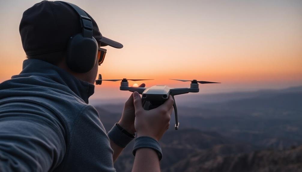
Line-of-sight rules form the backbone of safe drone operations for aerial photographers. As a drone pilot, you must maintain visual contact with your aircraft at all times during flight. This means you can't rely solely on your drone's camera feed or First Person View (FPV) goggles. You need to be able to see your drone with your own eyes, unaided by any devices other than corrective lenses.
You'll need to take into account factors that might obstruct your view, such as buildings, trees, or terrain. Don't fly your drone behind obstacles or into areas where you can't maintain visual contact. Remember, line-of-sight isn't just about distance; it's about maintaining situational awareness of your drone's position, altitude, and surroundings.
In some cases, you may use a visual observer to help maintain line-of-sight. This person must be in direct communication with you and able to see the drone at all times. They can alert you to potential hazards or help you maintain visual contact in challenging conditions.
However, as the pilot, you're still responsible for the safe operation of your drone, even with an observer's assistance.
Weather Conditions and Flight Restrictions
Weather conditions play an essential role in determining when you can safely operate your drone for aerial photography.
You'll need to be aware of wind speed limits, which typically restrict flights when winds exceed 20-25 mph for most consumer drones.
Additionally, you must adhere to visibility requirements, often mandating clear conditions with at least 3 miles of visibility to guarantee safe operation and compliance with regulations.
Wind Speed Limits
Gusts and gales can pose significant challenges for aerial photographers. When planning your aerial shoot, you'll need to take into account wind speed limits to guarantee safe and stable flights.
Generally, you shouldn't fly your drone in winds exceeding 20-25 mph (32-40 km/h), including gusts. However, this limit can vary depending on your drone's capabilities and your experience level.
For smaller consumer drones, it's best to stay grounded if winds exceed 15 mph (24 km/h). Larger, more powerful drones may handle winds up to 35 mph (56 km/h), but you'll still face increased battery drain and potential stability issues. Always check your drone's specifications for manufacturer-recommended wind limits.
Remember that wind speeds often increase with altitude, so conditions at ground level may not reflect what you'll encounter at higher elevations. Use weather apps or local aviation reports to gauge wind conditions at various altitudes.
If you're flying near structures or in urban areas, be aware of wind tunnels and turbulence created by buildings. These can cause sudden, unpredictable gusts that may exceed your drone's capabilities.
Prioritize safety and postpone your shoot if wind conditions are questionable.
Visibility Requirements
As an aerial photographer, you must always maintain clear visibility of your drone during flight. This requirement is essential for safety and legal compliance. The Federal Aviation Administration (FAA) mandates that you operate your drone within visual line of sight (VLOS) at all times.
Weather conditions play a significant role in visibility. You should avoid flying in fog, heavy rain, or snow, as these can obscure your view of the drone. Additionally, be aware of the following visibility requirements:
| Condition | Minimum Visibility |
|---|---|
| Daylight | 3 statute miles |
| Night | 5 statute miles |
| Class G | 1 statute mile |
| Class B | 3 statute miles |
| Class C | 3 statute miles |
Remember, these are minimum requirements. You should always err on the side of caution and avoid flying if visibility is questionable. Keep an eye on weather forecasts and plan your flights accordingly. If conditions deteriorate during a flight, land your drone immediately.
Be aware that certain locations may have additional visibility restrictions. Always check local regulations and obtain necessary permits before conducting aerial photography operations. By adhering to these visibility requirements, you'll guarantee safer flights and better photo opportunities.
No-Fly Zones for Drone Photography
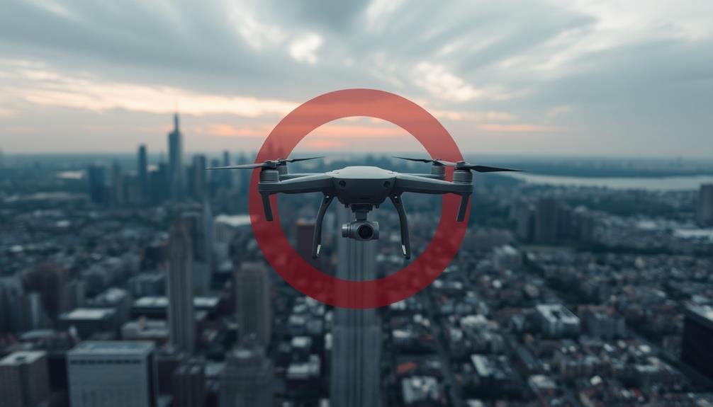
Steering through the skies as an aerial photographer isn't just about capturing stunning images; it's also about knowing where you can't fly. No-fly zones are areas where drone operation is strictly prohibited, and you must be aware of these restrictions to avoid legal troubles and guarantee safety.
You'll need to steer clear of several key no-fly zones:
- Airports and helipads: Maintain a 5-mile distance from these facilities to prevent interference with aircraft operations.
- Military bases and government buildings: These sensitive areas are off-limits to protect national security.
- National parks and wildlife refuges: Many of these locations restrict drone use to preserve natural habitats and visitor experiences.
Always check local regulations, as some cities and states have additional no-fly zones. Use official FAA resources and apps like B4UFLY to stay informed about restricted airspace.
Remember, temporary flight restrictions can be implemented for special events or emergencies.
Don't forget about private property rights. While not officially designated as no-fly zones, you'll need permission to fly over or photograph private land.
Respecting these boundaries will help you maintain professionalism and avoid potential conflicts with property owners.
Battery Life and Flight Duration
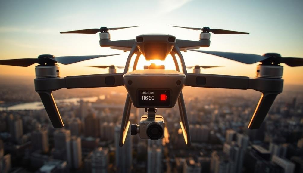
Equipped with powerful batteries, modern drones can stay aloft for impressive durations, but you'll need to manage your flight time carefully. Most consumer drones offer 20-30 minutes of flight time per battery charge, while professional models can reach up to 40 minutes. However, these estimates are based on ideal conditions and may decrease due to factors like wind resistance, payload weight, and flying style.
To maximize your aerial photography sessions, always carry spare batteries and plan your shots efficiently. It's essential to monitor your drone's battery level throughout the flight and initiate landing procedures when it reaches 25-30% capacity. This buffer guarantees you have enough power for a safe return and landing.
Remember that extreme temperatures can notably impact battery performance. Cold weather reduces flight time, while heat can cause overheating and premature battery drainage. Adjust your flight plans accordingly and consider using battery warmers in cold conditions.
Lastly, be aware of local regulations regarding maximum flight durations. Some jurisdictions impose time limits on continuous drone operations, so familiarize yourself with these rules to avoid potential legal issues while capturing your aerial shots.
Rest Periods Between Flights
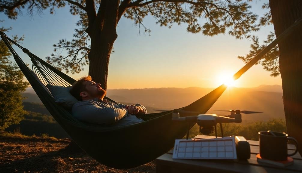
After each flight, your drone needs a breather. Just like you, it requires rest to perform at its best.
Giving your drone adequate rest periods between flights is vital for maintaining its performance and longevity. You'll want to allow the motors and electronic components to cool down, preventing overheating and potential damage.
The duration of rest periods can vary depending on several factors, including flight intensity, ambient temperature, and your drone's specifications. As a general rule, aim for a 10-15 minute break between flights. During longer photography sessions, consider extending this rest time to 20-30 minutes every few flights.
Use these breaks to:
- Check your drone for any signs of wear or damage
- Clean the camera lens and propellers
- Review and organize your captured footage
These rest periods aren't just beneficial for your equipment; they're also an opportunity for you to recharge.
Take this time to hydrate, stretch, and plan your next shots. By incorporating regular rest periods into your aerial photography routine, you'll guarantee both you and your drone stay in top form throughout your shooting sessions.
Logging Flight Time for Compliance
You'll need to maintain accurate records of your flight time to guarantee compliance with regulations.
Consider implementing a robust record-keeping system that includes both digital and manual logging methods.
Whether you opt for specialized software or a traditional logbook, consistently documenting your flights will help you track your hours and avoid exceeding legal limits.
Record-Keeping Best Practices
Accurate record-keeping is essential for aerial photographers to maintain compliance with flight time limits. You'll need to establish a systematic approach to logging your flights, ensuring every detail is captured. Create a dedicated logbook or digital spreadsheet to track your flight hours, including date, time, duration, and purpose of each flight.
To streamline your record-keeping process, consider these best practices:
- Use a flight tracking app that automatically logs your drone's flight time and location data.
- Take photos of your setup and flight conditions to supplement your written logs.
- Regularly backup your digital records to prevent data loss.
Make it a habit to update your logs immediately after each flight while the details are fresh in your mind. Include any notable incidents, equipment issues, or weather conditions that may have affected your flight.
Don't forget to record your pre-flight checks and post-flight maintenance activities.
When logging cumulative flight hours, be sure to distinguish between different types of operations, such as commercial and recreational flights. This separation will help you easily track your progress towards specific flight time limits and maintain compliance with regulations.
Digital vs. Manual Logging
Aerial photographers face a choice between digital and manual methods when logging flight time for compliance. Digital logging offers several advantages. You'll find it more efficient, as many modern drones and flight control systems automatically record flight data. This includes precise takeoff and landing times, duration, and even GPS coordinates.
Digital logs are typically more accurate and less prone to human error. They're also easier to backup, store, and retrieve when needed for audits or inspections.
However, manual logging shouldn't be dismissed entirely. It can serve as a reliable backup in case of technical failures. Some photographers prefer the tactile nature of writing in a logbook, finding it helps them better remember and internalize their flight experiences.
Manual logs can also be more flexible, allowing you to add personal notes or observations that mightn't fit into standardized digital forms.
Ultimately, the best approach may be a combination of both methods. Use digital logging for its efficiency and accuracy, but maintain a manual log as a backup and for additional insights.
This dual approach guarantees you're always prepared for compliance checks while maximizing the benefits of both logging styles.
Frequently Asked Questions
Can Aerial Photographers Use Automated Flight Paths for Their Drone Missions?
Yes, you can use automated flight paths for your drone photography missions. They're great for capturing consistent shots and covering large areas efficiently. Just guarantee you comply with local regulations and maintain visual line of sight.
Are There Specific Insurance Requirements for Commercial Aerial Photography Drones?
You'll need commercial drone insurance for aerial photography. It's typically required by law and clients. You should get liability coverage and hull insurance to protect against damage or injuries caused by your drone operations.
How Do Different Lens Types Affect Drone Weight and Flight Time Limits?
You'll find that larger, heavier lenses reduce your drone's flight time. Telephoto lenses add more weight than wide-angle ones. It's essential to balance lens choice with your drone's payload capacity and desired flight duration.
What Are the Regulations for Using Drones for Aerial Photography in National Parks?
You can't use drones in national parks without special permission. It's generally prohibited to protect wildlife and visitors. If you're planning aerial photography, you'll need to apply for a permit from the park service.
Are There Special Considerations for Aerial Photography of Events or Large Gatherings?
You'll need special permissions for aerial photography of events or large gatherings. Consider privacy concerns, obtain necessary permits, and follow local regulations. Don't fly directly over crowds, maintain a safe distance, and prioritize safety at all times.
In Summary
You've learned about the key flight time limits for aerial photographers, covering both recreational and commercial drone use. Remember to follow FAA Part 107 rules, fly during daylight hours unless you have a waiver, stay below 400 feet, maintain line-of-sight, and avoid restricted areas. Don't forget to monitor your battery life, take required rest breaks, and log your flight time. By adhering to these guidelines, you'll guarantee safe and compliant aerial photography operations.

As educators and advocates for responsible drone use, we’re committed to sharing our knowledge and expertise with aspiring aerial photographers.


Leave a Reply