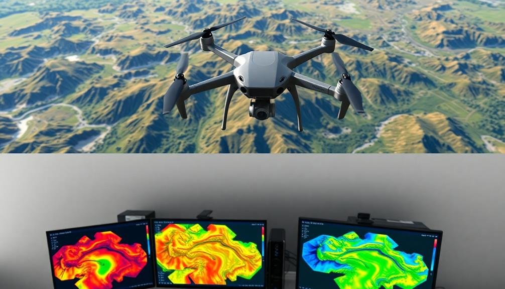
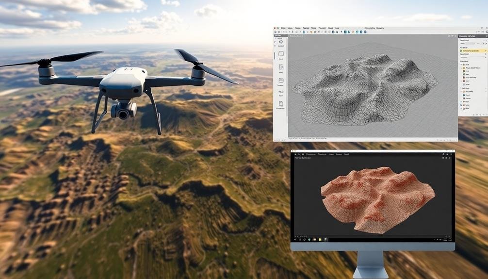
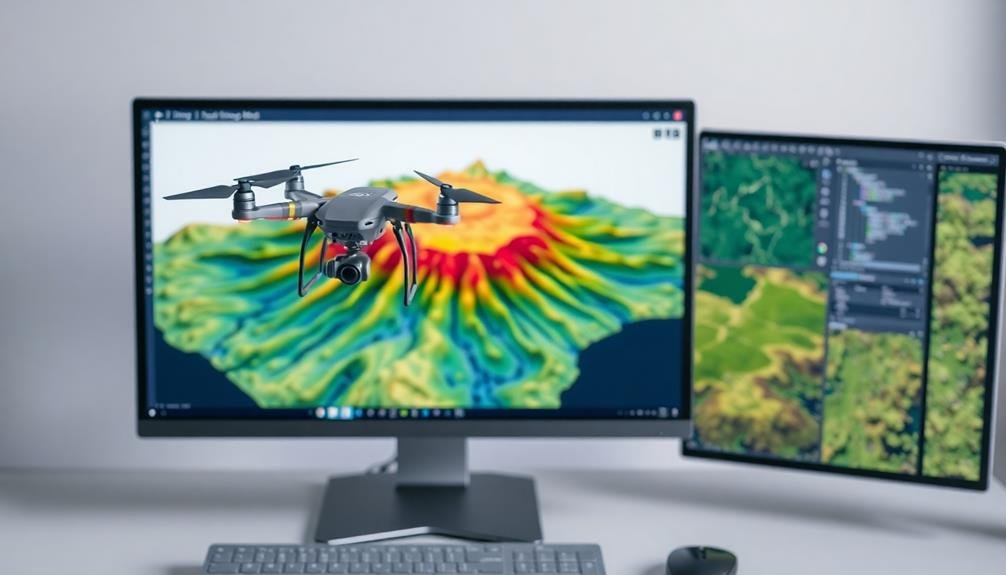
When it comes to UAV data processing, you've got several exceptional mapping software options to choose from. Pix4D and DroneDeploy offer user-friendly interfaces with automated workflows, while Agisoft Metashape and SimActive Correlator3D excel in creating high-quality 3D models. Bentley ContextCapture is known for its ability to handle massive datasets efficiently. For DJI drone users, DJI Terra provides seamless integration and cloud-based collaboration tools. Trimble Business Center offers thorough solutions for surveying and construction industries. Each software has its unique strengths, catering to different industry needs and user preferences. Exploring these options further will help you find the perfect fit for your UAV mapping projects.
Pix4D

Pix4D stands out from among the leading mapping software solutions for UAV data processing. It's a thorough platform that offers a wide range of tools for photogrammetry, 3D modeling, and geospatial analysis. You'll find that Pix4D excels in creating high-quality orthomosaics, point clouds, and digital surface models from aerial imagery.
With Pix4D, you can process data from various types of sensors, including RGB, multispectral, and thermal cameras. The software's user-friendly interface makes it accessible for beginners, while its advanced features cater to experienced professionals. You'll appreciate its automated workflows, which streamline the processing of large datasets.
Pix4D offers cloud-based and desktop solutions, giving you flexibility in how you work. The software's machine learning algorithms enhance accuracy in feature detection and classification. You can generate detailed reports and export your results in multiple formats compatible with GIS and CAD software.
One of Pix4D's strengths is its industry-specific modules, tailored for agriculture, surveying, and construction. These specialized tools help you extract valuable insights from your UAV data, making Pix4D a versatile choice for various applications in mapping and spatial analysis.
DroneDeploy

You'll find DroneDeploy to be another powerful contender in the UAV mapping software arena. This cloud-based platform offers an intuitive interface that simplifies the process of creating high-quality maps and 3D models from drone imagery. With DroneDeploy, you can easily plan flights, capture data, and process it into actionable insights.
One of DroneDeploy's standout features is its real-time mapping capability, allowing you to view results as the drone flies. You'll appreciate the software's compatibility with various drone models and its ability to generate orthomosaic maps, digital elevation models, and 3D point clouds.
The platform also excels in crop health analysis and volumetric measurements, making it valuable for agriculture and construction applications.
DroneDeploy offers a range of tools for collaboration, including the ability to share maps with team members and stakeholders. You can annotate maps, measure distances and areas, and export data in various formats.
The software's mobile app enables you to plan and execute missions directly from your smartphone or tablet. With its regular updates and expanding feature set, DroneDeploy continues to evolve, ensuring you have access to cutting-edge UAV mapping capabilities.
Agisoft Metashape
Agisoft Metashape stands out as a professional photogrammetry software solution for creating 3D content from still images. It's widely used in UAV data processing due to its robust features and user-friendly interface. You'll find it capable of handling various tasks, from aerial mapping to 3D object reconstruction.
With Metashape, you can process images from both RGB and multispectral cameras. It supports georeferencing, allowing you to create accurately positioned orthomosaics and digital elevation models. The software's automated workflow makes it easy to generate high-quality 3D models, even for beginners.
Here's a quick overview of Metashape's key features:
| Feature | Description | Use Case |
|---|---|---|
| Aerial Triangulation | Aligns images and builds sparse point cloud | Large-scale mapping projects |
| Dense Cloud Generation | Creates detailed point cloud from aligned images | Terrain modeling |
| Mesh Construction | Generates 3D polygonal model | Object reconstruction |
| Texture Mapping | Applies photo-realistic texture to 3D model | Visualization and analysis |
| Orthomosaic Creation | Produces georeferenced orthomosaic | Precision agriculture |
You'll appreciate Metashape's ability to handle large datasets efficiently, making it suitable for processing UAV imagery from extensive survey missions. Its scripting interface also allows for customization and automation of workflows, enhancing your productivity in data processing tasks.
SimActive Correlator3D
Among the top contenders in UAV mapping software, SimActive Correlator3D offers a powerful solution for professionals seeking rapid and accurate data processing. This software stands out for its ability to handle large datasets efficiently, making it ideal for extensive mapping projects.
You'll find that Correlator3D excels in producing high-quality orthomosaics, digital surface models (DSMs), and 3D point clouds. It's designed to process images from various sources, including UAVs, satellite imagery, and traditional aerial photography. The software's automated workflow streamlines your project from start to finish, reducing processing time considerably.
One of Correlator3D's key features is its advanced aerial triangulation capability, which guarantees precise georeferencing of your data. You can also benefit from its robust tools for generating detailed digital terrain models (DTMs) and performing volume calculations.
The software's user-friendly interface allows you to easily navigate through complex processing tasks. It supports multiple export formats, enabling seamless integration with other GIS and CAD software.
With regular updates and responsive customer support, SimActive guarantees you're always working with cutting-edge technology to meet your mapping needs.
Bentley ContextCapture

Bentley ContextCapture offers powerful mapping capabilities for your UAV data processing needs.
You'll find an extensive set of features designed to transform aerial imagery into detailed 3D models and orthophotos.
The software excels in processing large datasets, enabling you to create high-resolution digital twins and perform advanced geospatial analysis with ease.
Key Features Overview
ContextCapture, a powerhouse in the UAV mapping software arena, offers a robust set of features for processing aerial data. You'll find its ability to handle large datasets particularly impressive, allowing you to process thousands of images quickly and efficiently. The software's automatic tie point extraction and bundle adjustment guarantee precise alignment of your aerial photographs.
One of ContextCapture's standout features is its ability to generate high-quality 3D meshes and textured models from your UAV imagery. You can create detailed digital twins of real-world environments, perfect for urban planning or infrastructure inspection.
The software also excels in producing orthophotos and digital elevation models (DEMs) with remarkable accuracy.
You'll appreciate ContextCapture's support for various input formats, including oblique imagery and LiDAR data. This versatility allows you to combine different data sources for thorough mapping projects.
The software's automated quality control tools help you identify and correct issues in your datasets, assuring the final output meets your standards.
With its cloud processing capabilities, you can leverage distributed computing power to tackle even the most demanding projects efficiently.
Processing Capabilities Explained
Diving deeper into ContextCapture's processing capabilities, you'll find a powerhouse of features designed to handle complex UAV data. This software excels at creating highly accurate 3D models from aerial imagery, utilizing advanced photogrammetry techniques to process thousands of images quickly.
You can generate detailed point clouds, mesh models, and orthophotos with ContextCapture. It supports various input formats, including oblique and nadir images, as well as LiDAR data. The software's aerotriangulation algorithms guarantee precise image alignment and camera calibration.
ContextCapture's adaptive tiling system allows you to process massive datasets efficiently, even with limited hardware resources. You'll appreciate its ability to handle multi-resolution imagery and create level-of-detail (LOD) models for seamless visualization.
The software offers GPU acceleration for faster processing times and includes tools for automatic ground point extraction and classification. You can also perform quality checks and generate detailed reports on your processed data.
ContextCapture's interoperability with other Bentley products enables seamless integration into broader workflows, making it a versatile choice for professionals working on large-scale mapping and infrastructure projects.
DJI Terra

DJI Terra offers powerful mapping and modeling capabilities specifically designed for DJI drone users.
You'll find features like real-time 3D mapping, detailed terrain analysis, and automated flight planning to streamline your aerial surveying workflows.
While pricing varies based on subscription tiers, DJI Terra is compatible with a wide range of DJI drones and can process data from other UAV brands as well.
Key Features
A powerhouse in the domain of UAV data processing, DJI Terra boasts an array of key features that streamline mapping workflows. You'll find its intuitive interface easy to navigate, allowing for quick project setup and execution.
The software's real-time mapping capability enables you to visualize data as it's collected, helping you make immediate decisions in the field.
DJI Terra's advanced algorithms deliver highly accurate 2D orthomosaics and 3D models, with options for both photogrammetry and LiDAR data processing. You'll appreciate the software's ability to handle large datasets efficiently, reducing processing times without compromising quality.
Its seamless integration with DJI drones ensures compatibility and optimized performance.
Key features of DJI Terra include:
- Automated flight planning and mission execution
- Multi-sensor data fusion for thorough mapping
- Customizable output formats for various industry applications
- Cloud-based collaboration tools for team projects
- AI-powered object detection and classification
With these capabilities, you'll be able to tackle complex mapping projects across various industries, from construction and agriculture to environmental monitoring and urban planning.
DJI Terra's robust feature set empowers you to transform raw drone data into actionable insights efficiently and accurately.
Pricing and Compatibility
When considering DJI Terra for your mapping needs, you'll want to understand its pricing structure and compatibility.
DJI Terra offers a tiered pricing model with three main options: Basic, Advanced, and Pro. The Basic version is free but has limited features, while the Advanced and Pro versions require paid licenses.
You can purchase DJI Terra licenses on a monthly or annual basis, with annual subscriptions offering better value. Prices vary depending on your region and current promotions. The Advanced license typically costs around $1,000 per year, while the Pro license is priced higher, reflecting its more extensive feature set.
As for compatibility, DJI Terra is designed to work seamlessly with DJI drones, particularly models like the Phantom 4 RTK, Matrice 300 RTK, and Mavic 3 Enterprise Series. It supports various data formats, including .MRK and .TIFF for orthomosaic maps, and .LAS for point cloud data.
DJI Terra runs on Windows operating systems, requiring Windows 7 or later. It's not currently available for Mac or Linux users.
The software demands a relatively powerful computer, with recommended specifications including a dedicated graphics card and at least 16GB of RAM for ideal performance.
Trimble Business Center

Trimble Business Center stands out as a complete software solution for processing UAV data. It's designed to handle various types of geospatial information, including aerial imagery and LiDAR data. You'll find it particularly useful for creating accurate 3D models, orthomosaics, and point clouds from your drone surveys.
The software offers a user-friendly interface that simplifies complex workflows. You can easily import, process, and analyze data from multiple sources. Trimble Business Center's advanced algorithms guarantee high-precision results, making it ideal for surveying, mapping, and construction projects.
Key features of Trimble Business Center include:
- Automated flight planning and mission control
- Multi-sensor data fusion capabilities
- Powerful photogrammetry tools
- Seamless integration with other Trimble products
- Customizable reporting options
You'll appreciate the software's ability to handle large datasets efficiently, reducing processing times. It also provides tools for quality control and data validation, guaranteeing the accuracy of your final outputs.
While it may have a steeper learning curve compared to some alternatives, Trimble Business Center's extensive feature set makes it a valuable asset for professionals working with UAV data across various industries.
Frequently Asked Questions
How Does Weather Affect UAV Data Collection for Mapping Software?
Weather greatly impacts your UAV data collection. Wind can disrupt flight stability, while rain or snow interferes with sensors. Clouds may obscure visibility, and extreme temperatures affect battery life. You'll need to plan flights around ideal weather conditions.
Can These Software Options Process Data From Non-Uav Sources?
Yes, you'll find that many mapping software options can process data from non-UAV sources. They're versatile and often accept input from satellites, manned aircraft, ground-based sensors, and even smartphones. You're not limited to just UAV data.
What Are the Minimum Computer Specifications Required for Running These Programs?
You'll need a robust computer to run mapping software. Typically, you'll want at least 16GB RAM, a dedicated GPU, and a multi-core processor. Storage requirements vary, but 500GB SSD is a good starting point. Don't forget a high-resolution display.
Are There Free or Open-Source Alternatives to These Commercial Mapping Software Options?
You'll find several free and open-source alternatives for mapping software. Options like OpenDroneMap, WebODM, and QGIS offer powerful features without cost. They're community-driven and can handle various UAV data processing tasks, though they may have a steeper learning curve.
How Long Does It Typically Take to Process Large Datasets With These Software?
Processing time for large datasets varies widely. You'll find it depends on your hardware, dataset size, and desired output quality. It can take anywhere from a few hours to several days. You're best off testing with your specific setup.
In Summary
You've now explored seven leading mapping software options for UAV data processing. Whether you're a surveyor, engineer, or drone enthusiast, these tools can help you transform raw aerial data into valuable insights. Each software has its strengths, so consider your specific needs and budget when choosing. Remember, the right software can streamline your workflow and enhance your project outcomes. As technology advances, keep an eye out for updates and new features to stay ahead in the field.
As educators and advocates for responsible drone use, we’re committed to sharing our knowledge and expertise with aspiring aerial photographers.


Leave a Reply