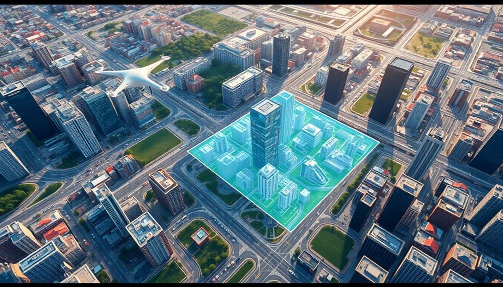
City planners leverage skyborne imagery in numerous ways to shape urban development. You'll find them using aerial and satellite data for urban growth monitoring, traffic flow analysis, and green space assessment. They'll inspect infrastructure, plan emergency responses, and identify pollution hotspots with precision. Historical preservation efforts benefit from unique aerial perspectives, while public transportation systems are optimized using bird's-eye views. Urban heat island mapping helps combat rising temperatures in cities. These high-tech tools allow planners to make data-driven decisions that improve city life and sustainability. Explore further to discover how this technology is transforming urban landscapes.
Urban Growth Monitoring
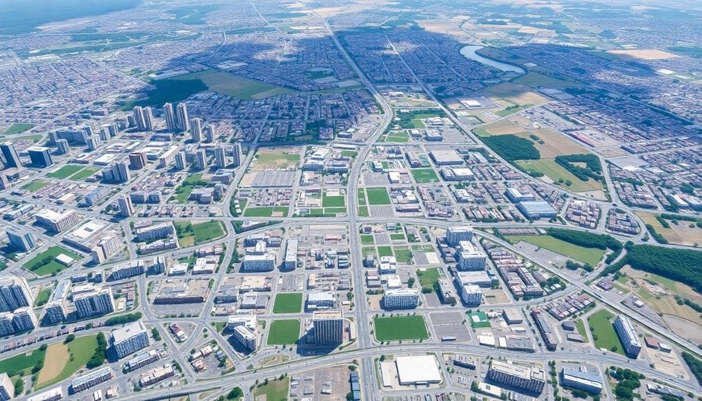
Urban growth monitoring has become an indispensable tool for city planners. You'll find that aerial and satellite imagery provide a thorough view of urban expansion, allowing you to track changes in land use, infrastructure development, and population density over time.
By analyzing these images, you can identify areas of rapid growth, detect unauthorized construction, and assess the impact of urban sprawl on surrounding ecosystems. You'll utilize sophisticated software to compare images from different time periods, highlighting new structures, roads, and land clearance.
This data helps you make informed decisions about zoning regulations, infrastructure planning, and resource allocation. You can also use this information to predict future growth patterns and plan accordingly.
Moreover, you'll find that urban growth monitoring through skyborne imagery enables you to evaluate the effectiveness of existing urban policies and development strategies. It provides concrete evidence of how your city is evolving, helping you communicate complex urban dynamics to stakeholders and the public.
Traffic Flow Analysis
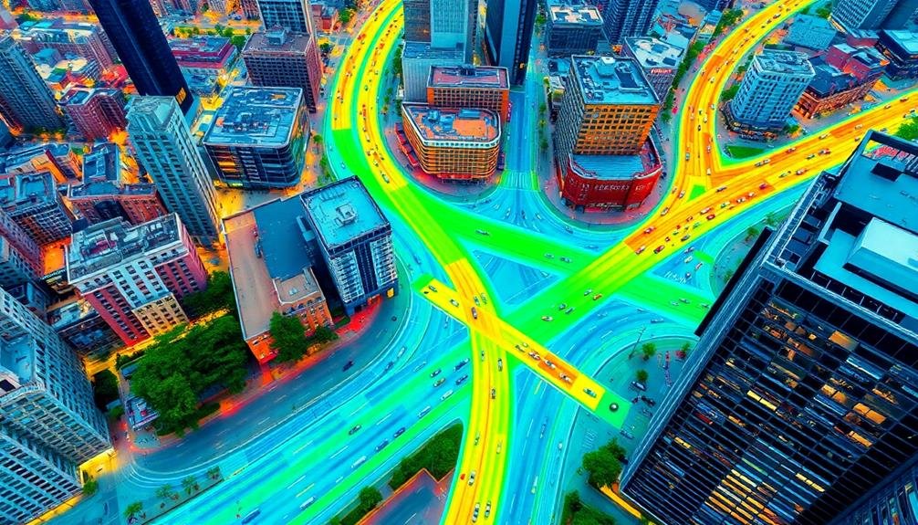
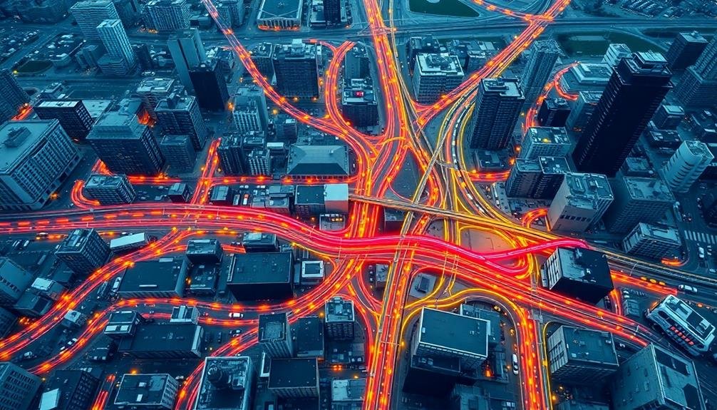
You'll find that skyborne imagery revolutionizes traffic flow analysis for city planners.
Through real-time congestion monitoring, you can quickly identify bottlenecks and implement immediate solutions to alleviate traffic jams.
Additionally, you'll be able to assess intersection efficiency by analyzing aerial data, allowing for optimized signal timing and improved overall traffic management.
Real-Time Congestion Monitoring
One of the most powerful applications of skyborne imagery for city planners is real-time congestion monitoring. You'll find that aerial and satellite imagery can provide an unparalleled view of traffic conditions across an entire city.
By utilizing high-resolution cameras and advanced image processing algorithms, you can track vehicle movements, identify bottlenecks, and assess traffic flow patterns in real-time.
This technology allows you to respond quickly to emerging traffic issues. You can deploy traffic management resources more effectively, adjusting signal timings or rerouting traffic to alleviate congestion.
You'll also be able to inform drivers about current road conditions through variable message signs or mobile apps, helping them make informed decisions about their routes.
Real-time congestion monitoring via skyborne imagery offers you the ability to analyze traffic trends over time. You can identify recurring problem areas, evaluate the effectiveness of traffic management strategies, and make data-driven decisions for infrastructure improvements.
This approach enhances your capacity to optimize traffic flow, reduce travel times, and improve the overall quality of life for city residents.
Intersection Efficiency Assessment
At the heart of efficient traffic management lies intersection efficiency assessment. You'll find that skyborne imagery provides an unparalleled vantage point for analyzing traffic flow at intersections. By using drones or satellites, you can capture real-time data on vehicle movements, pedestrian crossings, and signal timings.
With this aerial perspective, you're able to identify bottlenecks, assess turn lane effectiveness, and evaluate signal timing patterns. You'll notice how vehicles queue up during peak hours and how different traffic light cycles affect overall flow. This bird's-eye view allows you to spot inefficiencies that mightn't be apparent from ground level.
You can use this data to optimize intersection designs, adjust signal timings, and implement smart traffic systems. By analyzing multiple intersections simultaneously, you'll understand how they interact within the broader traffic network. This thorough approach helps you make informed decisions about road improvements, signal coordination, and traffic flow strategies.
Additionally, you'll find that skyborne imagery enables you to track changes over time, allowing you to assess the impact of implemented improvements and adjust your strategies accordingly. This dynamic approach to intersection efficiency assessment guarantees your city's traffic management remains responsive and effective.
Green Space Assessment

Numerous city planners are turning to skyborne imagery for thorough green space assessment. You'll find that aerial and satellite images provide an extensive view of urban landscapes, allowing you to identify and evaluate existing green spaces easily.
These images help you assess the distribution, size, and condition of parks, gardens, and other vegetated areas throughout the city.
With skyborne imagery, you can quickly calculate the total green space coverage and compare it to urban development. This data enables you to determine if your city meets recommended green space ratios and identify areas lacking sufficient vegetation.
You'll also be able to monitor changes in green spaces over time, detecting any loss or degradation of vegetated areas.
High-resolution imagery allows you to evaluate the health of vegetation, spot diseased or stressed plants, and plan for maintenance or replacement.
You can use this information to prioritize areas for new green space development or expansion of existing parks.
Additionally, you'll be able to assess the connectivity between green spaces, helping you plan wildlife corridors and improve biodiversity in urban environments.
Infrastructure Inspection
Beyond evaluating green spaces, skyborne imagery offers city planners a powerful tool for infrastructure inspection. You can use high-resolution aerial or satellite images to assess the condition of roads, bridges, and buildings without sending crews to every location. This saves time and resources while providing a thorough overview of your city's infrastructure.
With skyborne imagery, you'll identify potential issues like road deterioration, structural damage, or unauthorized construction. You can prioritize maintenance tasks and allocate resources more efficiently based on visual evidence. Here's a breakdown of key infrastructure elements and inspection benefits:
| Infrastructure | Inspection Benefits | Action Items |
|---|---|---|
| Roads | Detect potholes, cracks | Schedule repairs |
| Bridges | Assess structural integrity | Plan reinforcements |
| Buildings | Identify roof damage, encroachments | Enforce regulations |
Emergency Response Planning
In emergency response planning, you'll find skyborne imagery invaluable for disaster zone mapping, allowing you to quickly assess damage and prioritize rescue efforts.
You can optimize evacuation routes by analyzing aerial data to identify clear pathways and potential bottlenecks.
Furthermore, resource allocation becomes more efficient when you visualize the entire affected area, enabling you to strategically position emergency supplies and personnel.
Disaster Zone Mapping
Disaster zone mapping has become an essential tool in emergency response planning, allowing city planners to quickly assess and react to catastrophic events.
You'll find that aerial and satellite imagery plays a vital role in this process, providing real-time information about affected areas.
When disaster strikes, you can use skyborne imagery to identify damaged infrastructure, blocked roads, and areas of flooding or fire spread.
This information helps you prioritize rescue efforts and allocate resources more effectively. You'll be able to create detailed maps showing evacuation routes, safe zones, and potential hazards.
With high-resolution imagery, you can assess building damage, locate survivors, and guide first responders to critical areas.
You'll also use this data to track the progress of recovery efforts over time.
Advanced technologies like LiDAR and thermal imaging enhance your ability to detect hidden dangers and locate people in need of assistance.
Evacuation Route Optimization
Building on the disaster zone mapping capabilities, evacuation route optimization stands as a critical component of emergency response planning. You'll find that city planners use skyborne imagery to create efficient and safe evacuation routes for various emergency scenarios.
By analyzing high-resolution aerial photos and 3D models, you can identify potential bottlenecks, assess road conditions, and locate suitable gathering points.
With this data, you're able to:
- Simulate different evacuation scenarios
- Identify alternative routes to avoid congestion
- Designate safe zones and temporary shelters
You'll use traffic flow analysis and population density maps to determine the most effective evacuation strategies.
Resource Allocation Visualization
Effective resource allocation is a cornerstone of successful emergency response planning. With skyborne imagery, you'll gain a powerful tool to visualize and optimize the distribution of emergency resources across your city.
You can use high-resolution aerial photos and 3D models to identify strategic locations for stockpiling supplies, positioning emergency vehicles, and establishing temporary shelters.
By overlaying population density data onto these images, you'll quickly spot areas that may require more resources during a crisis. You can also use this information to create heat maps showing the potential impact of various emergency scenarios, helping you allocate resources more efficiently.
Skyborne imagery allows you to assess the accessibility of different areas, considering factors like road networks and terrain. This insight helps you determine the most effective placement of emergency response teams and equipment.
You'll also be able to identify potential bottlenecks or obstacles that could hinder resource distribution during a crisis.
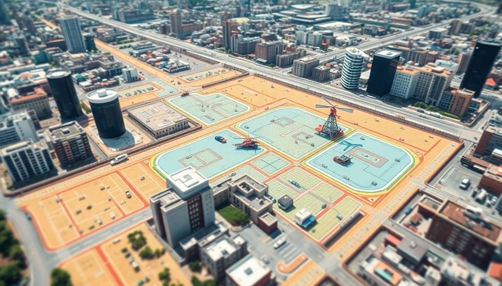
Zoning and Land Use
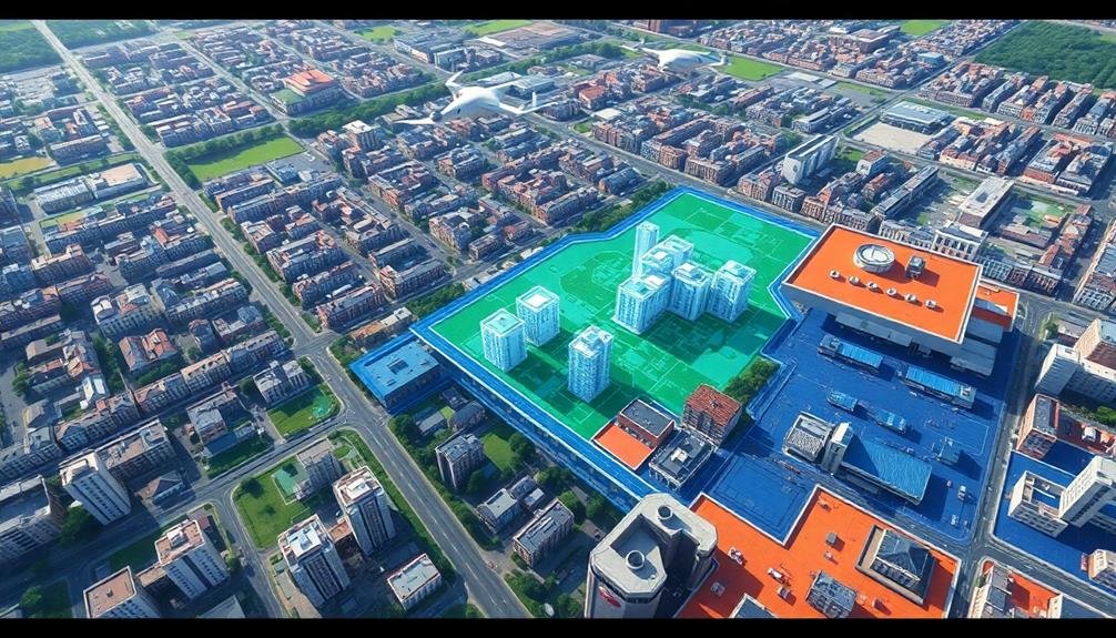
Aerial imagery revolutionizes zoning and land use planning in urban environments. You'll find that high-resolution photos and 3D models provide a thorough view of your city's layout, allowing you to make more informed decisions about land allocation and development.
With skyborne imagery, you can easily identify:
- Existing land use patterns
- Potential areas for rezoning
- Opportunities for infill development
You'll be able to assess the current distribution of residential, commercial, and industrial zones, spotting areas where mixed-use development might be beneficial. This bird's-eye perspective helps you visualize how proposed zoning changes could impact surrounding neighborhoods and infrastructure.
You can use these images to monitor urban sprawl, preserve green spaces, and guarantee balanced development across your city. They'll also help you identify non-conforming land uses and illegal constructions that may have gone unnoticed from ground level.
When presenting zoning proposals to stakeholders, you'll find that aerial imagery enhances communication and understanding. It provides a clear, visual representation of proposed changes, making it easier for community members and decision-makers to grasp the potential impact of new zoning regulations on their city's future growth and development.
Pollution Hotspot Identification

You'll find that skyborne imagery revolutionizes pollution hotspot identification for city planners.
By analyzing aerial data, you can precisely pinpoint emission sources, from industrial facilities to high-traffic areas.
This technology also enables you to track air quality trends over time, helping inform targeted interventions and policy decisions.
Pinpointing Emission Sources
Numerous city planners are turning to skyborne imagery to pinpoint pollution hotspots with unprecedented accuracy. You'll find that these advanced technologies enable the identification of specific emission sources, allowing for targeted interventions and more effective environmental management strategies.
By analyzing high-resolution aerial and satellite imagery, you can detect various types of emissions, including:
- Industrial stack emissions
- Vehicle exhaust patterns
- Fugitive emissions from landfills or waste treatment facilities
You'll appreciate how this data helps you prioritize areas for immediate action and develop long-term pollution reduction plans. With skyborne imagery, you're able to track changes in emission patterns over time, assess the effectiveness of implemented measures, and adjust strategies accordingly.
You can also use this technology to enforce environmental regulations more efficiently. By identifying non-compliant facilities or unexpected emission sources, you'll be better equipped to address violations and protect public health.
Additionally, you'll find that sharing this visual data with the public can increase awareness and support for environmental initiatives, fostering community engagement in pollution reduction efforts.
Tracking Air Quality Trends
Skyborne imagery revolutionizes the way city planners track air quality trends and identify pollution hotspots. You'll find that aerial and satellite data provide a thorough view of air quality patterns across your city, allowing you to spot areas with consistently poor air quality.
By analyzing time-series imagery, you can detect seasonal variations and long-term changes in air pollution levels. This information helps you prioritize interventions and evaluate the effectiveness of existing air quality improvement measures.
You'll be able to correlate pollution patterns with urban features, such as traffic congestion or industrial zones, enabling targeted policy decisions. High-resolution imagery allows you to pinpoint specific pollution sources that might be overlooked by ground-based monitoring stations.
You can use this data to create detailed air quality maps, helping residents understand their local air quality risks. Additionally, you'll be able to track the spread of pollutants from their source, evaluating their impact on surrounding areas.
Historical Preservation

Through the lens of skyborne imagery, city planners have discovered a powerful tool for historical preservation.
You'll find that aerial and satellite images provide a unique perspective on urban landscapes, revealing hidden patterns and structures that might otherwise go unnoticed. These images can help you identify and protect historically significant sites, buildings, and neighborhoods.
When you're working on historical preservation projects, skyborne imagery offers several advantages:
- Temporal analysis: You can compare images from different time periods to track changes in urban development and identify areas of historical importance.
- Large-scale assessment: You're able to survey entire cities or regions quickly, spotting potential heritage sites that may have been overlooked.
- Non-invasive documentation: You can document sensitive archaeological sites without disturbing them.
Public Transportation Optimization
Aerial imagery isn't just for preserving the past—it's also reshaping the future of urban mobility. You'll find city planners using skyborne data to optimize public transportation networks like never before. By analyzing high-resolution images, they can identify traffic bottlenecks, assess the condition of roads and rails, and plan more efficient routes.
You'll see planners leveraging this technology to determine the best locations for new bus stops or train stations. They'll examine population density, existing infrastructure, and land use patterns to maximize accessibility. With 3D models created from aerial imagery, you can visualize proposed transit lines and their impact on the urban landscape.
Real-time aerial data helps you monitor traffic flow and adjust bus schedules accordingly. You'll notice improved emergency response times as planners use this information to create better evacuation routes. By integrating aerial imagery with GPS data, you can track public vehicles and provide accurate arrival times to passengers.
As cities grow, you'll find planners using skyborne imagery to plan for future expansion, ensuring that public transportation evolves alongside urban development. This data-driven approach leads to more sustainable, efficient, and user-friendly transit systems.
Urban Heat Island Mapping
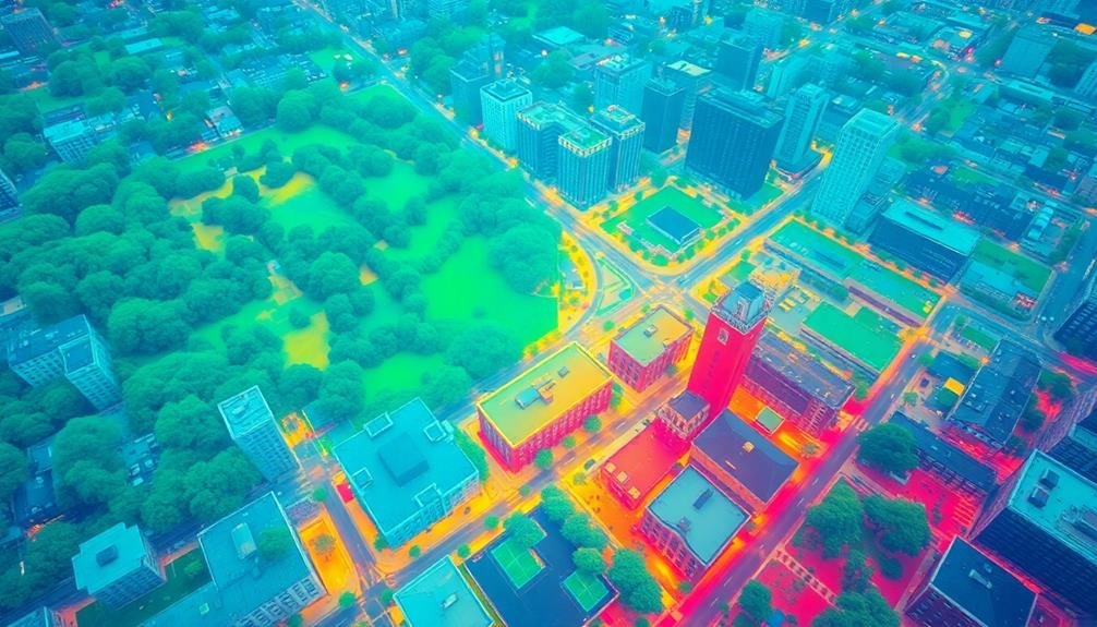
Urban heat islands pose significant challenges for city dwellers and planners alike. You'll find that skyborne imagery has become an invaluable tool in mapping and addressing this phenomenon. By using thermal cameras mounted on drones or satellites, you can identify areas of your city that retain more heat than others.
These high-resolution thermal maps allow you to:
- Pinpoint hotspots in urban areas
- Track temperature changes over time
- Assess the effectiveness of heat mitigation strategies
Armed with this data, you're able to make informed decisions about where to implement cooling measures. You might focus on adding green spaces, installing reflective roofing, or redesigning streets to improve air circulation in the most affected areas.
You'll also find that urban heat island mapping helps you predict and prepare for extreme weather events. By understanding how heat accumulates in different parts of your city, you can develop targeted emergency response plans and allocate resources more effectively during heatwaves.
Moreover, this data informs long-term urban planning decisions. You can use it to guide the placement of new buildings, design more energy-efficient neighborhoods, and create cooler, more livable cities for future generations.
Frequently Asked Questions
How Often Are Skyborne Imagery Updates Typically Conducted for Urban Planning Purposes?
You'll find that skyborne imagery updates for urban planning vary widely. They're typically conducted annually for fast-growing areas, but slower-changing regions might update every 2-5 years. Some cities even opt for more frequent seasonal updates.
What Are the Privacy Concerns Associated With Using High-Resolution Aerial Imagery?
You'll find privacy concerns with high-resolution aerial imagery include potential invasion of personal space, unintended capture of sensitive activities, and fear of surveillance. It's essential to balance urban planning needs with individuals' rights to privacy in their homes and properties.
How Do Weather Conditions Affect the Quality and Usability of Skyborne Imagery?
You'll find that weather greatly impacts skyborne imagery. Clouds, fog, and rain can obscure ground features. Strong winds may cause blurring. Sunlight and shadows affect contrast. Clear, calm days provide the best conditions for high-quality aerial images.
What Are the Costs Involved in Acquiring and Processing Skyborne Imagery?
You'll find costs for skyborne imagery vary widely. They include equipment expenses, flight operations, data storage, and software for processing. Don't forget about personnel costs for pilots, analysts, and technicians. It's a significant investment.
How Do City Planners Integrate Skyborne Imagery With Other Data Sources?
You'll find city planners integrating skyborne imagery with GIS databases, census data, and traffic patterns. They'll overlay these layers, creating detailed maps and models that combine aerial views with ground-level information for better urban planning decisions.
In Summary
You've seen how skyborne imagery revolutionizes urban planning. It's a powerful tool that offers unparalleled insights into city dynamics. From monitoring growth to optimizing transportation, it's changing how planners approach their work. As technology advances, you'll likely see even more innovative applications. Remember, the bird's-eye view isn't just for birds anymore – it's a vital perspective for shaping the cities of tomorrow. Embrace these tools to create smarter, more efficient urban spaces.
As educators and advocates for responsible drone use, we’re committed to sharing our knowledge and expertise with aspiring aerial photographers.


Leave a Reply