You'll discover seven cutting-edge mapping techniques revolutionizing rapid emergency response in disasters. These include real-time aerial imagery collection, 3D terrain modeling, thermal mapping for search-rescue, multispectral analysis for damage assessment, LiDAR-based structural integrity evaluation, GPS-enabled point cloud generation, and AI-powered change detection mapping. Each technique offers unique advantages, from providing detailed views of affected areas to identifying survivors through heat signatures. They enable faster, more accurate assessments and decision-making during critical situations. By harnessing advanced technologies like drones, satellites, and machine learning algorithms, these methods greatly enhance the efficiency and effectiveness of emergency operations. Exploring these innovative approaches will reveal their transformative impact on disaster response.
Key Takeaways
- Real-time aerial imagery collection using drones, aircraft, and satellites provides comprehensive views for damage assessment and hazard identification.
- 3D terrain and structural modeling creates detailed representations for planning emergency operations and assessing structural integrity.
- LiDAR-based damage assessment enables rapid evaluation of building safety and prioritization of response efforts.
- Thermal and multispectral mapping enhances search and rescue operations and facilitates comprehensive damage assessment of both natural and built environments.
- AI-powered change detection mapping swiftly identifies environmental alterations, allowing for efficient resource allocation during large-scale disasters.
Real-Time Aerial Imagery Collection
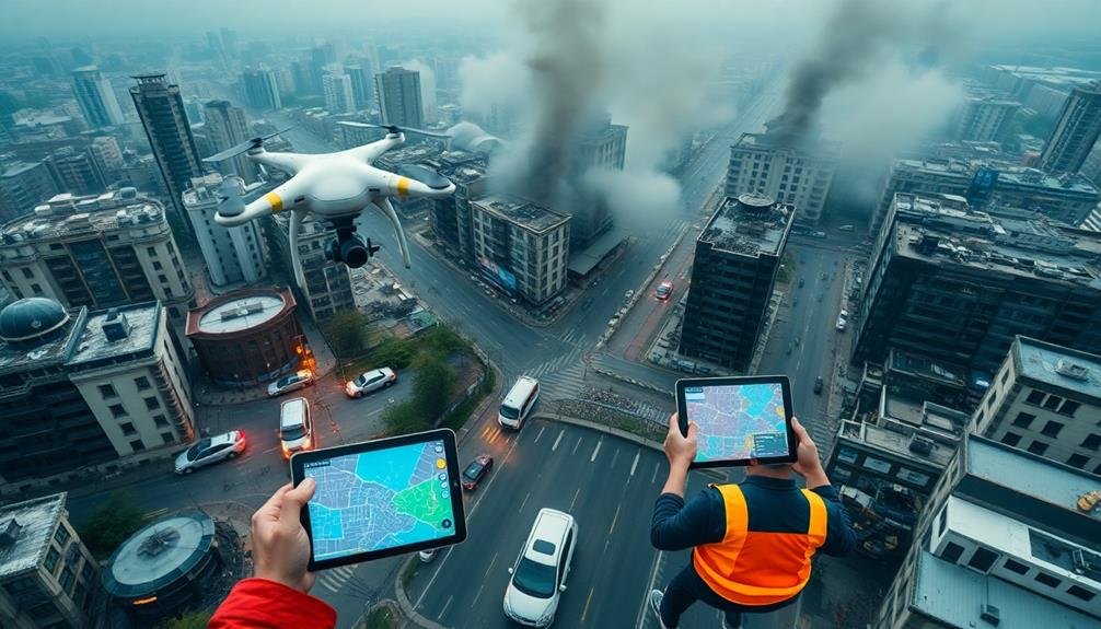
When disaster strikes, real-time aerial imagery collection becomes essential for effective emergency response. You'll find that aerial imagery provides a thorough view of the affected area, allowing you to quickly assess damage, identify hazards, and plan rescue operations.
To collect this crucial data, you'll use various platforms and technologies. Drones are your go-to tool for rapid deployment and flexibility. They can access hard-to-reach areas and provide high-resolution images and video footage.
You'll also employ manned aircraft equipped with specialized cameras and sensors for larger-scale coverage. Satellite imagery complements these methods, offering a broader perspective and the ability to monitor changes over time.
As you collect aerial imagery, you'll use advanced software to process and analyze the data in real-time. This allows you to create up-to-date maps and 3D models of the disaster area.
You'll integrate this information with other data sources, such as ground reports and weather forecasts, to build a thorough picture of the situation. By leveraging real-time aerial imagery collection, you'll enhance your decision-making capabilities and improve the overall effectiveness of your emergency response efforts.
3D Terrain Modeling
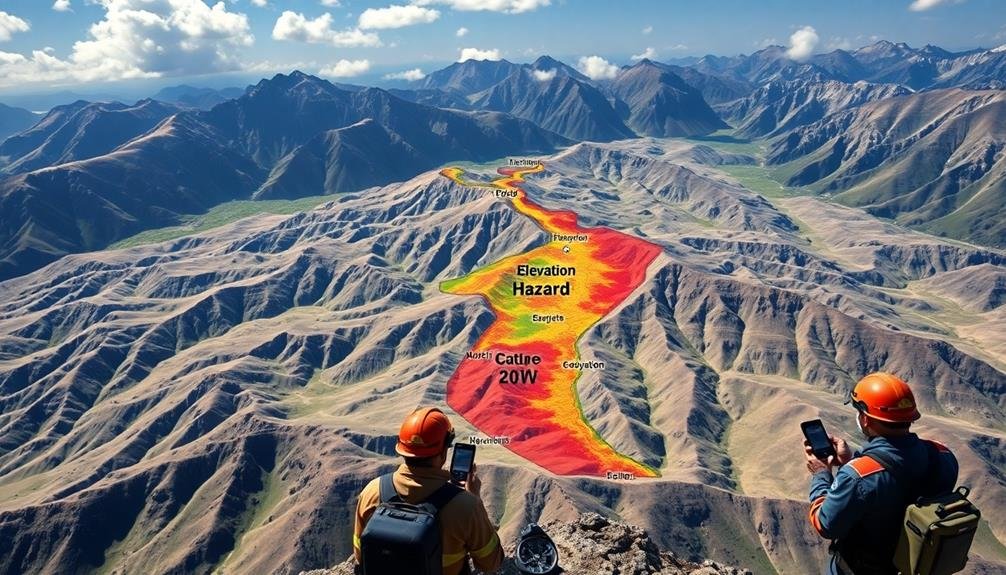
3D terrain modeling serves as an essential tool in emergency response mapping. It allows you to create detailed, three-dimensional representations of landscapes, buildings, and infrastructure. These models provide vital information for planning and executing emergency operations, helping you visualize potential hazards and access routes.
To create 3D terrain models, you'll use various data sources and techniques:
- LiDAR scanning: Captures precise elevation data and surface details
- Photogrammetry: Combines multiple aerial images to create 3D models
- GIS data integration: Incorporates existing geographic information
- Machine learning algorithms: Enhances model accuracy and detail
You'll find that 3D terrain models offer considerable advantages in emergency response. They enable you to analyze line-of-sight, plan evacuation routes, and assess flood risks more effectively. You can also use these models to simulate different scenarios, helping you prepare for various emergency situations.
When implementing 3D terrain modeling, consider the time constraints of emergency response. Focus on creating models that are both accurate and quickly generated.
You may need to balance detail with processing speed, depending on the urgency of the situation. By leveraging 3D terrain modeling, you'll greatly enhance your ability to respond to emergencies efficiently and effectively.
Thermal Mapping for Search-Rescue
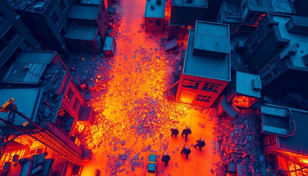
Thermal mapping has revolutionized search and rescue operations by providing critical temperature data in emergency situations. You'll find this technology invaluable when locating survivors in disaster areas or detecting heat signatures in complex environments.
Using infrared sensors, you can create detailed heat maps of the search area. These maps highlight temperature variations, allowing you to identify potential human presence even when visibility is poor. You'll spot survivors trapped under rubble or hidden in dense foliage more easily, greatly reducing search times.
You can deploy thermal mapping from various platforms. Hand-held devices are useful for close-range searches, while drones equipped with thermal cameras offer wider coverage. In large-scale operations, you might use aircraft or satellites for extensive thermal surveys.
The data you collect isn't just visual. You'll analyze temperature patterns to determine how long a person has been in a location or estimate the time since a fire occurred. This information helps you prioritize search areas and allocate resources more effectively.
Multispectral Analysis for Damage Assessment
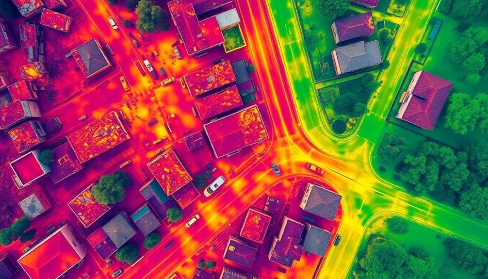
You'll find multispectral analysis invaluable for thorough damage assessment after disasters.
By examining various spectral bands, you can detect changes in vegetation health, revealing areas of environmental impact.
You'll also use this technique to analyze alterations in the built environment, identifying structural damage and prioritizing areas for immediate response.
Vegetation Health Detection
In the aftermath of natural disasters, evaluating vegetation health through multispectral analysis plays an essential role in emergency response efforts. You'll find that this technique allows for rapid examination of environmental impacts, helping to identify areas of ecological distress and potential hazards.
By utilizing various spectral bands, you can detect changes in vegetation that aren't visible to the naked eye. This information is vital for:
- Identifying areas of deforestation or vegetation loss
- Evaluating the extent of fire damage
- Detecting water stress in crops and natural vegetation
- Monitoring the spread of invasive species
You'll need to use specialized sensors and imaging equipment to capture multispectral data.
Once collected, you can process this information to create detailed maps highlighting vegetation health across affected regions. These maps will help you prioritize areas for intervention and guide resource allocation during emergency response operations.
Built Environment Change Analysis
Multispectral analysis isn't just for vegetation; it's also a powerful tool for evaluating damage to the built environment after disasters. By comparing pre- and post-event imagery, you can quickly identify areas of significant change, indicating potential damage or destruction.
You'll use a combination of visible and near-infrared bands to detect changes in building structures, roads, and other infrastructure. Look for alterations in spectral signatures that may indicate collapsed buildings, debris fields, or flooded areas.
Pay attention to changes in texture and shape, as these can reveal structural damage not immediately apparent in standard RGB imagery.
To enhance your analysis, consider using synthetic aperture radar (SAR) data alongside multispectral imagery. SAR can penetrate clouds and smoke, providing valuable information even in challenging atmospheric conditions.
You can also employ machine learning algorithms to automate the change detection process, speeding up your assessment and allowing you to focus on the most critical areas.
Remember to validate your findings with ground-truth data whenever possible. This combination of remote sensing techniques and on-the-ground verification will give you a thorough understanding of the disaster's impact on the built environment.
LiDAR-Based Structural Integrity Evaluation

When evaluating structural damage after a disaster, you'll find LiDAR technology invaluable for rapid and accurate evaluations.
By utilizing LiDAR's precise 3D modeling capabilities, you can quickly create detailed representations of damaged buildings and infrastructure.
These models enable you to efficiently classify building safety levels and prioritize emergency response efforts.
Rapid Damage Assessment
LiDAR-based rapid damage assessment revolutionizes structural integrity evaluation in emergency response scenarios. You'll find that this technology allows for quick, accurate analysis of buildings and infrastructure after disasters. By using laser pulses to create detailed 3D models, you can identify structural weaknesses, assess stability, and prioritize rescue efforts in a matter of hours rather than days.
To implement LiDAR-based rapid damage assessment effectively, you'll need to:
- Deploy mobile LiDAR units or drones equipped with LiDAR sensors
- Process point cloud data in real-time using specialized software
- Train personnel to interpret LiDAR-generated models
- Integrate findings with other emergency response systems
This approach offers several advantages over traditional assessment methods. You'll be able to safely evaluate hard-to-reach areas without putting responders at risk.
The high-resolution data captured by LiDAR enables you to detect even subtle changes in structural integrity, helping you make informed decisions about building safety and evacuation needs. Additionally, you can compare pre-and post-disaster LiDAR scans to quantify damage extent and plan recovery efforts more efficiently.
3D Structural Modeling
Building on the capabilities of LiDAR-based rapid damage assessment, 3D structural modeling takes the analysis a step further. This advanced technique allows you to create detailed, three-dimensional representations of damaged structures, providing essential insights for emergency responders and engineers.
You'll use specialized software to process LiDAR point cloud data, generating accurate 3D models of buildings and infrastructure. These models reveal structural deformations, stress points, and potential collapse risks that mightn't be visible to the naked eye. By comparing pre-disaster models with post-disaster scans, you can quickly identify and quantify structural changes.
The 3D models enable virtual walkthroughs, letting you assess hazards without putting personnel at risk. You can simulate various scenarios, such as aftershocks or further deterioration, to predict potential outcomes and plan accordingly. This information is invaluable for prioritizing evacuation zones, planning rescue operations, and determining safe entry points for first responders.
Additionally, you can integrate these models with other data sources, such as thermal imaging or gas detection, to create thorough situational awareness. This holistic approach enhances decision-making and improves the overall effectiveness of your emergency response efforts.
Building Safety Classification
With the 3D structural models in hand, you're ready to tackle the critical task of building safety classification. LiDAR-based structural integrity evaluation allows you to quickly assess and categorize buildings based on their level of damage and potential risks.
You'll use sophisticated algorithms to analyze the 3D point cloud data, identifying deformations, cracks, and other structural anomalies.
To streamline the classification process, you'll employ a color-coded system that instantly communicates a building's safety status:
- Green: Safe for occupancy
- Yellow: Caution, limited access
- Orange: Restricted entry, potential hazards
- Red: Unsafe, no entry permitted
This visual representation enables emergency responders to make quick, informed decisions about resource allocation and evacuation priorities.
You'll integrate this data into your GIS platform, creating an interactive map that displays building safety levels across the affected area.
By combining LiDAR data with other information sources, such as seismic activity reports and historical building records, you'll enhance the accuracy of your classifications.
This thorough approach guarantees that you're providing the most up-to-date and reliable information to guide emergency response efforts.
GPS-Enabled Point Cloud Generation
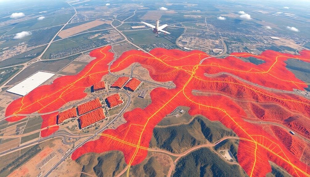
How can GPS technology revolutionize point cloud generation for emergency response? By integrating GPS with LiDAR or photogrammetry systems, you'll create highly accurate, georeferenced point clouds in real-time. This fusion allows for rapid 3D mapping of disaster-affected areas, providing vital spatial data for first responders and decision-makers.
You'll find that GPS-enabled point cloud generation offers several advantages. First, it enables precise localization of each point in the cloud, allowing for seamless integration with existing GIS data.
Second, it facilitates rapid data collection from various platforms, including drones, vehicles, or handheld devices. This versatility is essential in dynamic emergency situations.
When you're using this technology, you'll be able to quickly assess structural damage, identify potential hazards, and plan evacuation routes. The high-resolution 3D models generated can also aid in search and rescue operations by revealing hidden obstacles or safe entry points.
Furthermore, you can use the GPS metadata to track changes over time, helping you monitor the progression of events like floods or landslides.
AI-Powered Change Detection Mapping
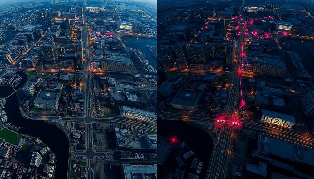
AI-powered change detection mapping revolutionizes emergency response by swiftly identifying alterations in the environment. This cutting-edge technology uses machine learning algorithms to analyze satellite imagery, aerial photographs, and other geospatial data. By comparing recent images with historical data, you'll be able to quickly pinpoint areas affected by disasters or emergencies.
You'll find that AI-powered change detection mapping offers several key advantages:
- Rapid assessment of damage extent
- Identification of newly formed hazards
- Tracking of population movements
- Monitoring of recovery progress
With this technology, you can efficiently allocate resources and prioritize response efforts. It's particularly useful in large-scale disasters where manual assessment would be time-consuming and potentially dangerous.
You'll be able to detect changes in infrastructure, vegetation, and terrain that mightn't be immediately apparent to the human eye.
AI-powered change detection mapping isn't limited to natural disasters. It's also valuable for monitoring urban development, deforestation, and other long-term environmental changes.
Frequently Asked Questions
How Do Mapping Techniques Integrate With Existing Emergency Management Systems?
You'll find that mapping techniques seamlessly integrate with existing emergency systems. They provide real-time data visualization, enhance situational awareness, and improve decision-making. You can use them to coordinate resources, track incidents, and plan responses effectively.
What Are the Privacy Concerns Associated With Rapid Emergency Response Mapping?
You'll face privacy concerns like data collection of personal information, tracking individuals' locations, and potential misuse of sensitive data. It's essential to balance emergency response needs with protecting people's privacy rights and ensuring data security.
How Long Does It Take to Train Personnel in These Mapping Techniques?
You'll find training time varies depending on the specific techniques and personnel's background. It can take anywhere from a few days to several weeks. You'll need to factor in hands-on practice and real-world simulations for effective learning.
What Are the Cost Implications of Implementing Advanced Mapping Technologies?
You'll face significant upfront costs for advanced mapping tech, including hardware, software, and training. However, you're likely to see long-term savings through improved efficiency, faster response times, and better resource allocation in emergencies.
How Do Weather Conditions Affect the Accuracy of Emergency Response Mapping?
Weather conditions can considerably impact your mapping accuracy. You'll find that heavy rain, snow, or fog can obscure aerial imagery. Strong winds may affect drone operations. Cloud cover can interfere with satellite data collection for your emergency response efforts.
In Summary
You've now explored seven cutting-edge mapping techniques for emergency response. By leveraging these tools, you'll dramatically improve your ability to assess situations, locate victims, and coordinate relief efforts. Don't hesitate to integrate these technologies into your emergency protocols. Remember, every second counts in a crisis. With these advanced mapping methods at your disposal, you're better equipped than ever to save lives and mitigate disaster impacts. Stay prepared and keep innovating.

As educators and advocates for responsible drone use, we’re committed to sharing our knowledge and expertise with aspiring aerial photographers.


Leave a Reply