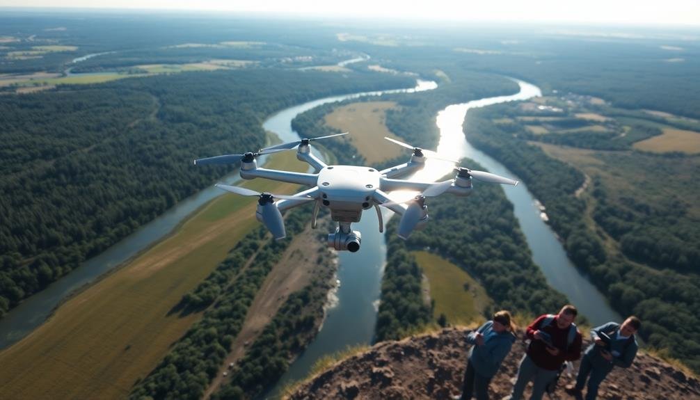
Three key techniques for aerial environmental surveys are LiDAR scanning, multispectral imaging, and thermal mapping. You'll find LiDAR useful for creating precise 3D maps of terrain and structures, even penetrating vegetation. Multispectral imaging captures data across various wavelengths, helping you assess vegetation health and land use patterns. Thermal mapping detects temperature variations, ideal for identifying urban heat islands and evaluating building energy efficiency. Each technique offers unique insights, from revealing hidden archaeological sites to monitoring coastal erosion. By combining these methods, you'll gain an extensive understanding of the environment. Exploring these techniques further will reveal even more powerful applications for environmental monitoring and management.
Key Takeaways
- LiDAR scanning provides precise 3D data of Earth's surface, enabling accurate mapping of terrain, vegetation, and structures.
- Multispectral imaging captures data across multiple wavelengths, evaluating vegetation health, water quality, and land use patterns.
- Thermal mapping detects temperature variations across landscapes, identifying urban heat islands and monitoring wildlife habitats.
- These techniques can be combined for comprehensive environmental analysis and monitoring of large areas.
- All three methods can be mounted on aircraft or drones for efficient coverage during aerial surveys.
LiDAR Scanning

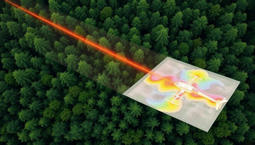
LiDAR scanning revolutionizes aerial environmental surveys by providing precise, three-dimensional data of the Earth's surface. You'll find this technology invaluable for mapping terrain, vegetation, and structures with unprecedented accuracy. LiDAR works by emitting laser pulses and measuring the time it takes for the light to bounce back, creating detailed point clouds.
When conducting aerial surveys, you'll typically mount LiDAR sensors on aircraft or drones. These platforms allow you to cover large areas efficiently, even in challenging terrain. The resulting data can help you analyze forest canopy structure, measure biomass, and detect subtle changes in topography.
You'll appreciate LiDAR's ability to penetrate vegetation, revealing hidden features like archaeological sites or geological formations. It's also essential for flood risk assessment, urban planning, and monitoring coastal erosion.
To maximize LiDAR's potential, you'll need to evaluate factors like flight altitude, sensor type, and point density. You can integrate LiDAR data with other remote sensing techniques, such as multispectral imaging, to gain an all-encompassing understanding of the environment.
This powerful tool enables you to make informed decisions in various fields, including conservation, resource management, and climate change research.
Multispectral Imaging

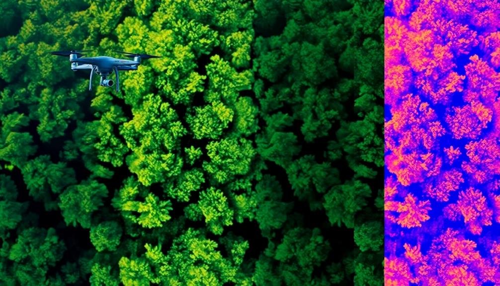
Capturing the invisible spectrum, multispectral imaging enhances your ability to analyze environmental features beyond what the naked eye can see. This technique uses specialized cameras to collect data across multiple wavelengths, including visible light, near-infrared, and thermal infrared.
You'll find multispectral imaging invaluable for evaluating vegetation health, water quality, and land use patterns. By analyzing the reflectance and absorption of different wavelengths, you can identify stressed plants, detect pollutants, and map various land cover types.
| Wavelength | Applications | Benefits |
|---|---|---|
| Visible | Land use mapping | Familiar color representation |
| Near-infrared | Vegetation analysis | Detects plant stress early |
| Thermal infrared | Heat mapping | Identifies temperature anomalies |
To conduct a multispectral survey, you'll need to mount the camera on an aircraft or drone. Fly in a grid pattern to confirm complete coverage of your study area. After collecting the data, you'll process it using specialized software to create composite images and extract meaningful information.
Thermal Mapping

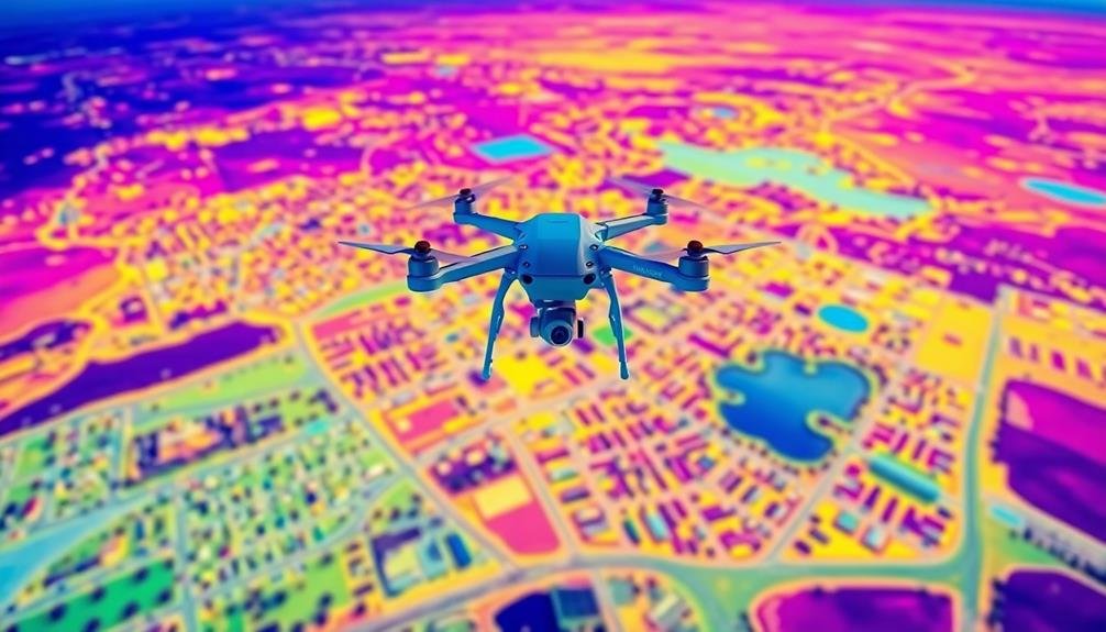
Thermal mapping zeroes in on temperature variations across landscapes, providing valuable insights into environmental processes and anomalies. You'll find this technique particularly useful for detecting heat signatures that aren't visible to the naked eye. By using specialized thermal cameras mounted on aircraft or drones, you can capture detailed temperature data across large areas.
In environmental surveys, you'll often use thermal mapping to identify urban heat islands, monitor wildlife habitats, or detect water pollution. It's an excellent tool for evaluating the energy efficiency of buildings and identifying areas of heat loss. You can also use it to detect underground fires in landfills or track the spread of forest fires.
When conducting thermal surveys, you'll need to contemplate factors like time of day, weather conditions, and seasonal variations. These can greatly impact the accuracy of your data.
You'll typically collect thermal imagery during predawn hours or on overcast days to minimize the effects of solar radiation. By combining thermal data with other remote sensing techniques, you'll create an all-encompassing picture of environmental conditions, enabling more informed decision-making in conservation, urban planning, and resource management.
Frequently Asked Questions
What Safety Measures Are in Place for Aerial Survey Pilots?
You'll undergo extensive training, use safety checklists, and wear protective gear. You're required to maintain your aircraft, follow strict flight regulations, and use emergency communication systems. You'll also have regular health checks and flight hours limits.
How Often Should Aerial Survey Equipment Be Calibrated?
You'll want to calibrate your aerial survey equipment regularly, typically before each mission. It's essential to follow manufacturer guidelines, but generally, you should calibrate at least monthly or after any significant environmental changes or equipment handling.
What Are the Legal Requirements for Conducting Aerial Environmental Surveys?
You'll need to obtain permits, follow airspace regulations, and adhere to environmental protection laws. Make certain you're certified for aerial operations and comply with data collection guidelines. Don't forget to check local and federal requirements.
How Does Weather Affect the Accuracy of Aerial Survey Results?
Weather greatly impacts your aerial survey accuracy. You'll find that cloud cover, precipitation, and wind can obscure visibility, affect sensor readings, and destabilize aircraft. It's essential you plan surveys during ideal weather conditions for reliable results.
What Training Is Required for Personnel Analyzing Aerial Survey Data?
You'll need specialized training in remote sensing, image processing, and data analysis. It's essential to learn about GIS software, spectral analysis, and environmental science. Ongoing professional development keeps you updated on new technologies and techniques.
In Summary
You've now learned about three powerful techniques for aerial environmental surveys: LiDAR scanning, multispectral imaging, and thermal mapping. By incorporating these methods into your work, you'll gather detailed data on terrain, vegetation, and temperature patterns. Remember, each technique offers unique insights, so you'll want to choose the right tool for your specific project. As you apply these technologies, you're contributing to more accurate and thorough environmental assessments. Keep exploring new advancements in this rapidly evolving field.

As educators and advocates for responsible drone use, we’re committed to sharing our knowledge and expertise with aspiring aerial photographers.


Leave a Reply