You'll need these 10 essential tools for conducting precise volumetric surveys from above, ensuring accurate measurements and efficient data collection. Start with LiDAR-equipped drones for high-resolution scans, and pair them with RTK GPS systems for centimeter-level accuracy. Use photogrammetry software to create detailed 3D models, and process point clouds with specialized tools. Incorporate thermal imaging cameras and multispectral sensors for enhanced data insights. Rely on 3D modeling software to visualize results, and leverage flight planning applications for ideal coverage. Finally, use data analysis platforms to interpret your findings. Discover how these cutting-edge tools can revolutionize your surveying projects.
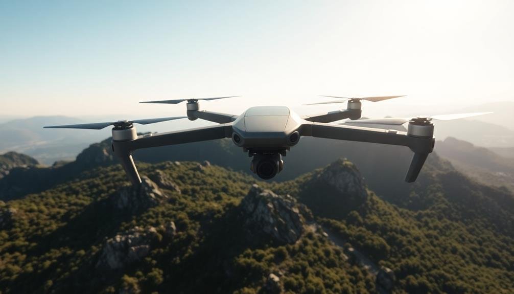
LiDAR-Equipped Drones
LiDAR-equipped drones have revolutionized precision volumetric surveys. These cutting-edge tools combine the maneuverability of unmanned aerial vehicles with the accuracy of Light Detection and Ranging technology. You'll find that LiDAR drones can quickly scan large areas, collecting millions of data points to create highly detailed 3D models of terrain, stockpiles, or structures.
When you're conducting volumetric surveys, LiDAR drones offer significant advantages. They can access hard-to-reach or dangerous areas, reducing safety risks for surveyors. The high-resolution data they capture allows for precise volume calculations, often with accuracy levels of 1-3%.
You'll appreciate their efficiency, as they can survey expansive sites in a fraction of the time required by traditional methods. These drones typically use near-infrared lasers, which can penetrate vegetation to map underlying terrain. This capability is particularly useful in forestry or mining applications.
You'll need to take into account factors like flight time, sensor quality, and data processing software when selecting a LiDAR drone. While they require a significant initial investment, the time and labor savings often justify the cost for frequent or large-scale surveys.
Photogrammetry Software
A cornerstone of modern volumetric surveys, photogrammetry software transforms ordinary images into precise 3D models and measurements. You'll find this technology invaluable for creating accurate digital representations of stockpiles, quarries, and construction sites.
By processing overlapping photos taken from various angles, these powerful programs generate detailed point clouds and mesh models.
When choosing photogrammetry software for your volumetric surveys, consider these key features:
- Automation capabilities: Look for software that can automatically align images, generate dense point clouds, and create textured mesh models with minimal user input.
- Accuracy and precision: Opt for programs that offer sub-centimeter accuracy and can handle large datasets without compromising quality.
- Integration with other tools: Verify the software can easily export data to CAD programs and GIS platforms for further analysis and reporting.
You'll find popular options like Pix4D, Agisoft Metashape, and DroneDeploy offer robust features for volumetric calculations.
These programs can process images from various sources, including drones, handheld cameras, and even smartphones.
RTK GPS Systems

Real-Time Kinematic (RTK) GPS systems are essential tools for achieving centimeter-level accuracy in volumetric surveys. These systems use a base station and rover to provide real-time corrections to GPS signals, greatly improving positioning accuracy. You'll find RTK GPS particularly useful for large-scale surveys where traditional methods would be time-consuming and less precise.
When selecting an RTK GPS system for your volumetric surveys, consider factors such as accuracy, range, and compatibility with other equipment. Many modern systems integrate seamlessly with drones and photogrammetry software, allowing for thorough data collection and analysis.
| Feature | Benefit | Consideration |
|---|---|---|
| Accuracy | Centimeter-level precision | Signal obstructions |
| Real-time corrections | Immediate data validation | Base station setup |
| Integration | Compatibility with other tools | Software requirements |
To maximize the effectiveness of your RTK GPS system, verify you've properly calibrated and set up your base station. You'll also want to account for potential signal obstructions in your survey area, such as tall buildings or dense vegetation. By combining RTK GPS with other survey methods, like drone photogrammetry, you'll be able to create highly accurate 3D models and volumetric calculations for your projects.
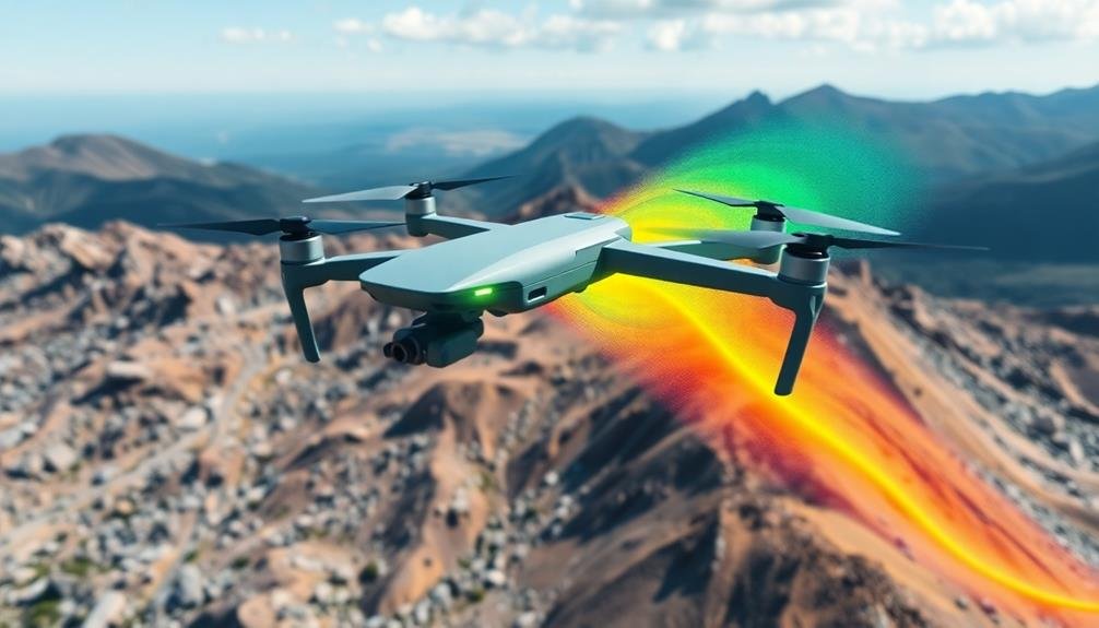
Thermal Imaging Cameras
Leveraging thermal imaging cameras in volumetric surveys can provide unique insights into material properties and distribution. These advanced tools detect infrared radiation emitted by objects, allowing you to visualize temperature variations across surfaces.
In volumetric surveys, thermal imaging can help you identify moisture content, density differences, and thermal anomalies that might affect volume calculations.
You'll find thermal imaging cameras particularly useful when surveying stockpiles of materials with varying thermal properties. They can help you distinguish between different types of materials or detect areas of compaction or settling that aren't visible to the naked eye.
By integrating thermal data with other survey methods, you'll enhance the accuracy and thoroughness of your volumetric assessments.
Here are three key benefits of using thermal imaging cameras in volumetric surveys:
- Detect hidden moisture pockets that could affect volume calculations
- Identify material boundaries based on temperature differences
- Spot thermal anomalies that might indicate structural issues or material inconsistencies
When choosing a thermal imaging camera for volumetric surveys, consider factors like resolution, temperature range, and integration capabilities with your existing survey equipment.
You'll want a camera that can provide clear, detailed images from your survey altitude and easily export data for analysis alongside other survey measurements.
Multispectral Sensors
Multispectral sensors take your volumetric surveys to the next level by capturing data across multiple bands of the electromagnetic spectrum. These advanced tools allow you to collect information beyond what's visible to the naked eye, providing insights into material composition, moisture content, and vegetation health.
When you're conducting volumetric surveys, multispectral sensors can help you differentiate between various materials more accurately. This is particularly useful in mining, agriculture, and waste management applications. You'll be able to identify specific minerals, assess crop health, or determine the composition of stockpiles with greater precision.
By using multispectral sensors, you can create more detailed 3D models and calculate volumes with higher accuracy. The additional data layers allow for better surface characterization and improved edge detection, resulting in more precise measurements.
You'll find that multispectral sensors are often integrated into drone systems, making them ideal for aerial surveys. They're lightweight, compact, and can cover large areas quickly.
When combined with photogrammetry software, you can generate thorough reports that include both volumetric calculations and spectral analysis, giving you a more complete understanding of your survey area.
Ground Control Points
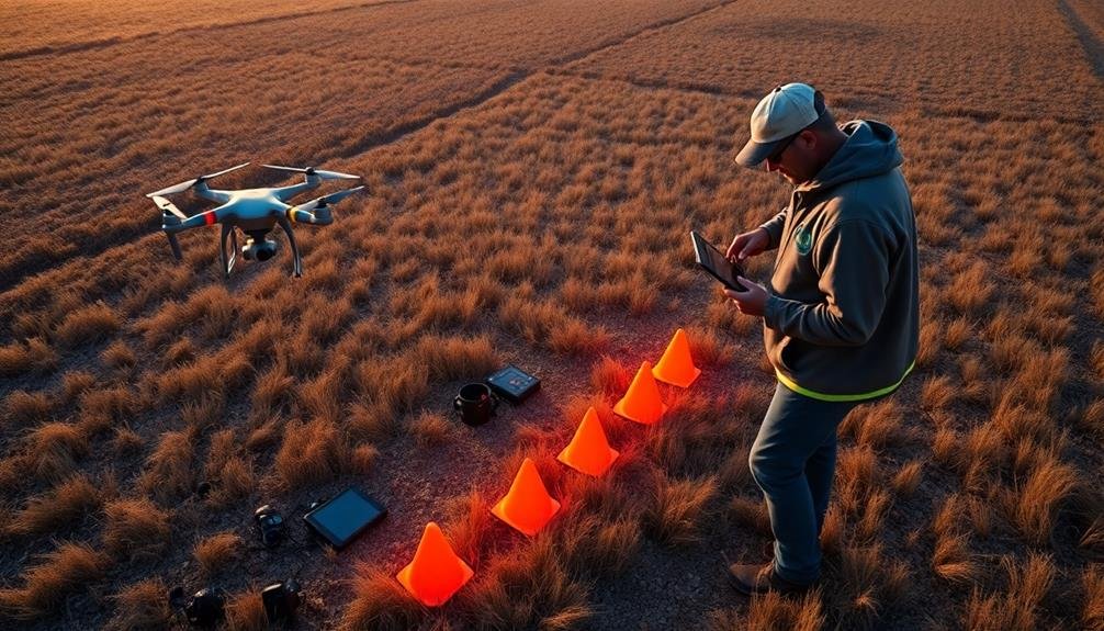
While advanced sensors provide valuable data from above, ground control points (GCPs) anchor your survey firmly to the earth. These precisely surveyed markers on the ground serve as reference points for aligning and calibrating aerial imagery.
By incorporating GCPs into your volumetric survey, you'll greatly enhance the accuracy of your measurements and final 3D models.
To effectively use GCPs in your precision volumetric surveys:
- Strategically place GCPs: Distribute them evenly across your survey area, focusing on corners, edges, and areas with elevation changes. Aim for at least 5-10 GCPs per project, depending on its size and complexity.
- Use high-contrast markers: Choose bright, easily identifiable targets that stand out against the surrounding terrain. Common options include painted crosses, checkered patterns, or specialized survey targets.
- Accurately survey GCP locations: Employ high-precision GPS equipment or traditional surveying methods to determine the exact coordinates and elevations of each GCP. This data will be essential for georeferencing your aerial imagery and ensuring accurate volumetric calculations.
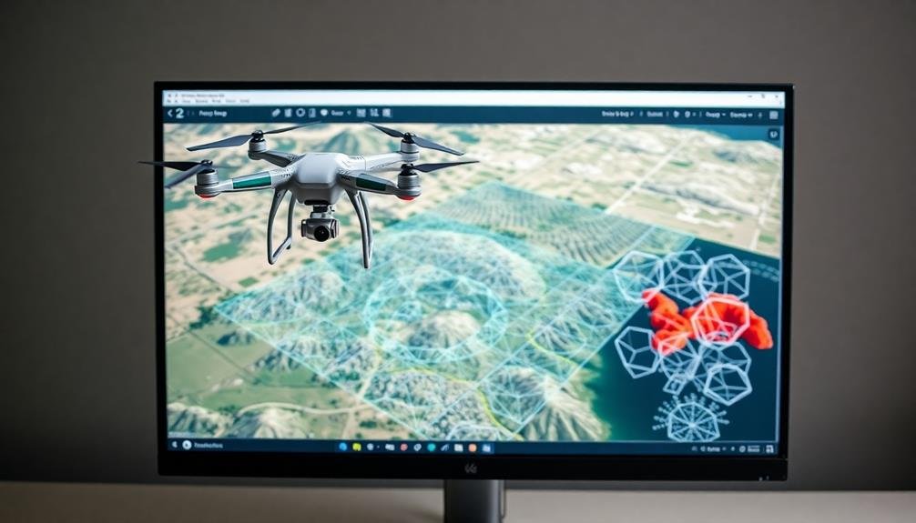
Point Cloud Processing Tools
Point cloud processing tools step up to the plate when it's time to transform raw data into actionable insights. These powerful software solutions allow you to manipulate, analyze, and visualize massive datasets collected during volumetric surveys. You'll find a range of options, from open-source to enterprise-grade, each offering unique features to streamline your workflow.
When selecting a point cloud processing tool, consider factors like file format compatibility, processing speed, and automation capabilities. Look for software that can handle large datasets efficiently and offers robust filtering and classification algorithms. Some tools excel at surface reconstruction, while others shine in volume calculation and change detection.
Here's a comparison of popular point cloud processing tools:
| Tool | License | Key Features | Best For | Price Range |
|---|---|---|---|---|
| CloudCompare | Open-source | Basic processing, visualization | Small-scale projects | Free |
| Agisoft Metashape | Commercial | Photogrammetry, dense cloud generation | Aerial surveys | $179 – $3,499 |
| LAStools | Mixed | LiDAR processing, batch operations | Large-scale LiDAR projects | Free – $2,990 |
| Pix4Dmapper | Commercial | Drone mapping, volumetric analysis | Precision agriculture | $3,990/year |
| TerraScan | Commercial | Advanced classification, feature extraction | Infrastructure mapping | Custom |
Choose a tool that aligns with your project requirements and budget constraints to maximize efficiency in your volumetric surveys.
3D Modeling Software
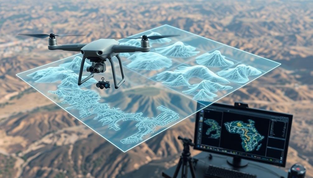
Three-dimensional modeling software plays an essential role in volumetric surveys by transforming point cloud data into detailed 3D models. These tools allow you to create accurate digital representations of physical spaces, enabling precise volume calculations and analysis.
When choosing 3D modeling software for volumetric surveys, you'll want to evaluate options that offer robust features for handling large datasets and generating high-quality models.
Popular 3D modeling software options for volumetric surveys include:
- Autodesk ReCap: Offers powerful point cloud processing and 3D modeling capabilities, with seamless integration into other Autodesk products.
- Bentley ContextCapture: Provides advanced photogrammetry and 3D mesh creation tools, ideal for large-scale projects.
- Pix4D: Specializes in drone-based mapping and 3D modeling, with user-friendly interfaces and automated workflows.
You'll find that these software packages offer tools for cleaning and filtering point clouds, generating textured 3D meshes, and performing volume calculations.
They often include features for creating cross-sections, contour lines, and digital elevation models.
When selecting 3D modeling software, evaluate factors such as ease of use, compatibility with your existing workflow, and the specific requirements of your volumetric survey projects.
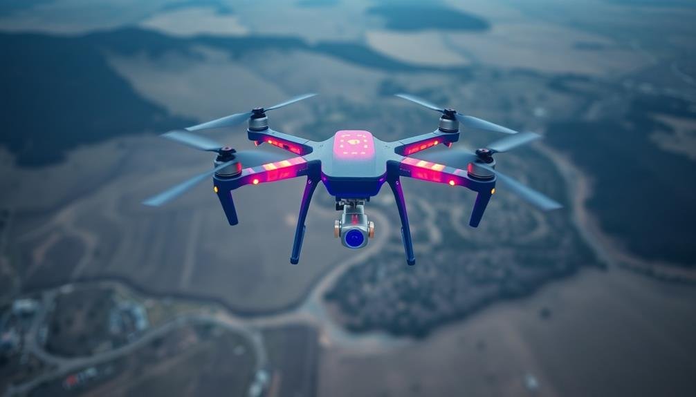
Flight Planning Applications
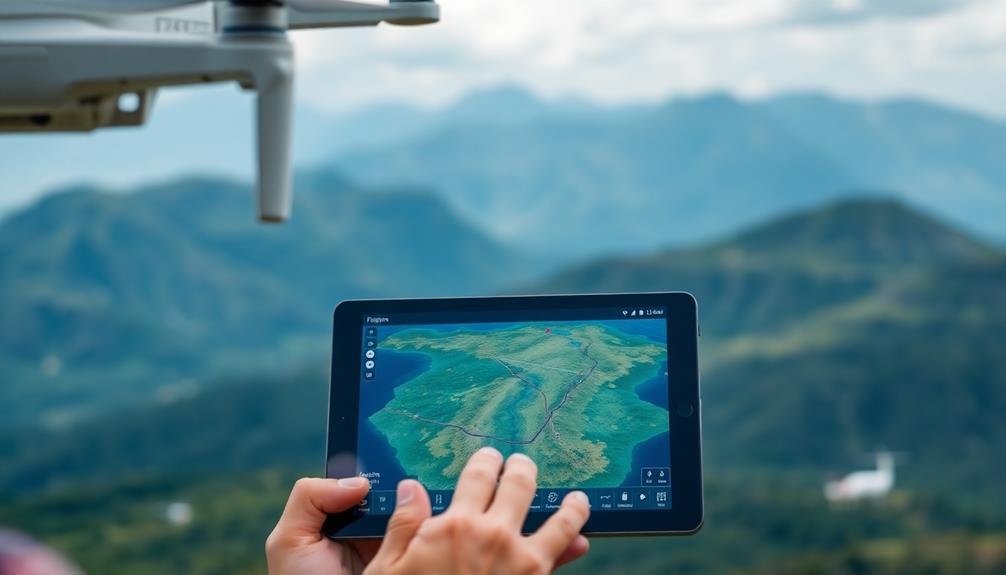
Flight planning applications are essential tools for conducting successful volumetric surveys using drones or UAVs. These apps help you map out your flight path, set waypoints, and guarantee extensive coverage of your survey area. You'll find a variety of options available, each with its own strengths and features.
Popular choices include DroneDeploy, Pix4D, and DJI GS Pro. These apps allow you to define your survey area, set flight parameters, and automatically generate efficient flight paths. You can adjust altitude, overlap percentage, and camera settings to optimize your data collection.
Some apps offer advanced features like terrain awareness, which adjusts the drone's altitude to maintain a consistent distance from the ground. This is particularly useful for surveys in areas with varying elevations.
You'll also find options for obstacle avoidance, battery management, and real-time monitoring of your drone's progress.
When choosing a flight planning app, consider compatibility with your drone model, ease of use, and integration with your preferred data processing software. Many apps offer free trials, so you can test them out before committing to a subscription.
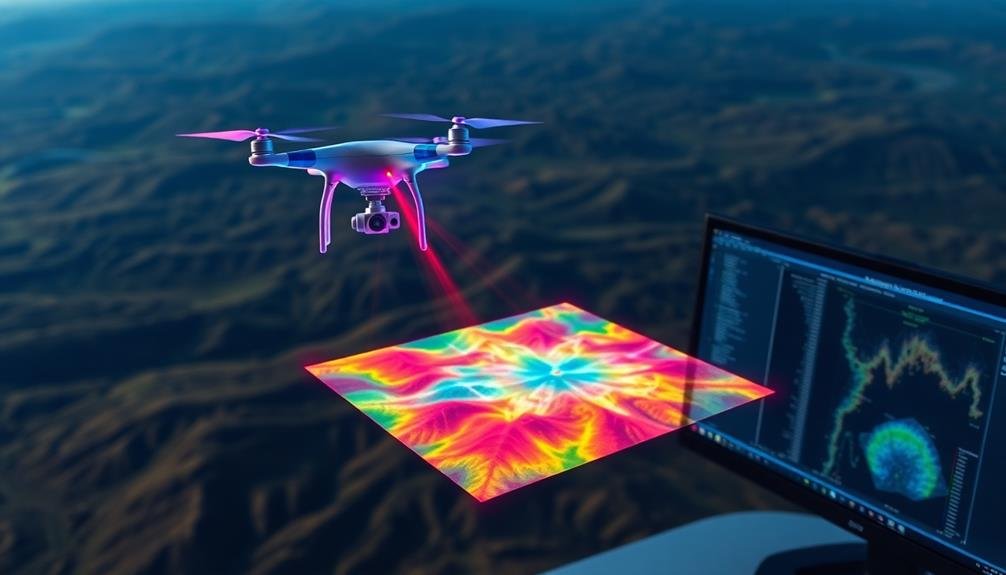
Data Analysis Platforms

Diving into data analysis platforms, you'll find a range of powerful tools designed to process and interpret the raw data collected during your volumetric surveys.
These platforms are essential for transforming your aerial imagery and point clouds into accurate, actionable information. You'll want to choose a platform that offers robust features for point cloud processing, 3D modeling, and volumetric calculations.
Industry-leading software like Pix4D, Agisoft Metashape, and DroneDeploy offer extensive solutions for photogrammetry and data analysis.
They'll enable you to:
- Generate high-resolution orthomosaics and digital elevation models
- Perform automatic feature extraction and classification
- Calculate precise volume measurements for stockpiles or excavations
When selecting a data analysis platform, consider factors such as ease of use, processing speed, and compatibility with your drone's data format.
Look for platforms that offer cloud-based processing options, which can greatly reduce the hardware requirements on your end. Additionally, consider platforms that provide tools for generating detailed reports and exporting data in formats compatible with other software you might be using in your workflow.
Frequently Asked Questions
How Do Weather Conditions Affect the Accuracy of Volumetric Surveys From Above?
Weather can greatly impact your volumetric surveys from above. Wind, rain, and fog can affect drone stability and visibility. Sunlight and temperature changes may alter measurements. You'll want to choose ideal conditions for the most accurate results.
What Are the Legal Requirements for Conducting Aerial Volumetric Surveys?
You'll need to obtain necessary permits and licenses, follow airspace regulations, and respect privacy laws. Don't forget to comply with drone operation rules if using UAVs. Always check local and federal requirements before conducting aerial surveys.
How Often Should Equipment Be Calibrated for Optimal Survey Results?
You should calibrate your survey equipment regularly, ideally before each project. It's essential to follow manufacturer guidelines, but generally, aim for monthly checks and annual professional calibrations to guarantee peak accuracy in your volumetric surveys.
What Safety Measures Are Necessary When Operating Drones for Volumetric Surveys?
You'll need to follow FAA regulations, maintain visual line of sight, and avoid populated areas. Don't fly in bad weather or near airports. Always check your drone's condition and battery life before takeoff.
How Do Different Surface Materials Impact the Accuracy of Volumetric Measurements?
You'll find that surface materials greatly affect volumetric accuracy. Smooth, solid surfaces yield better results than rough or porous ones. Reflective materials can cause issues, while vegetation may skew measurements. Always consider material properties when surveying.
In Summary
You've now got a thorough toolkit for conducting precise volumetric surveys from above. Whether you're using LiDAR drones, advanced photogrammetry software, or thermal imaging cameras, you're equipped to gather accurate data. Don't forget to leverage RTK GPS systems for enhanced precision and utilize powerful data analysis platforms to make sense of your findings. With these tools at your disposal, you'll be able to tackle even the most challenging volumetric survey projects with confidence.
As educators and advocates for responsible drone use, we’re committed to sharing our knowledge and expertise with aspiring aerial photographers.


Leave a Reply