
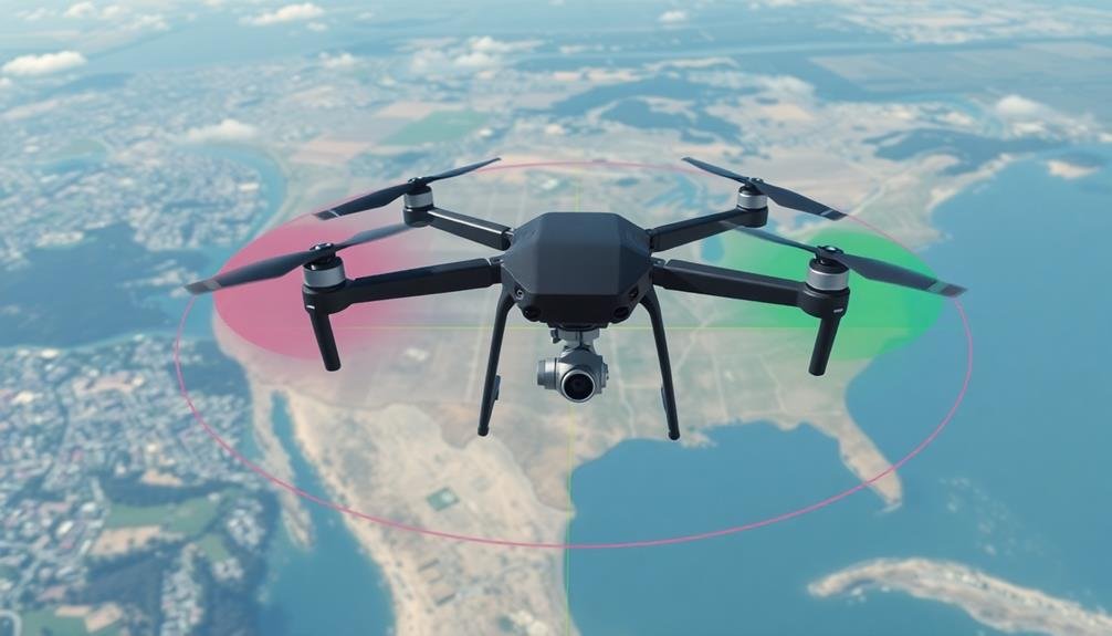
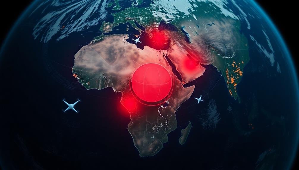
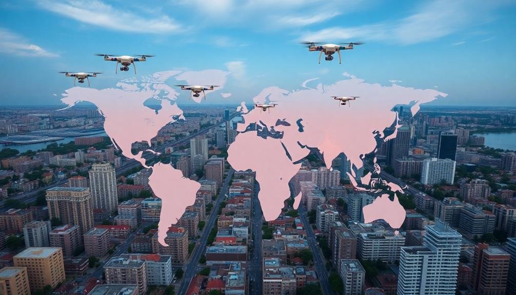
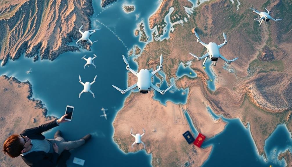
Global mapping rules for unmanned aircraft vary markedly worldwide. You'll find different regulations in the U.S., EU, Asia, Africa, and Oceania. Common themes include registration requirements, altitude limits, no-fly zones, and licensing for commercial operations. The FAA oversees U.S. regulations, while the EU has a harmonized framework across member states. Asian and African countries have diverse approaches, ranging from strict controls to more progressive policies. Privacy and data protection laws also play an essential role in drone mapping. To guarantee compliance, you'll need to research specific rules for your location and intended use. Understanding these nuances can make or break your drone mapping project.
United States Drone Mapping Regulations
Numerous regulations govern drone mapping in the United States. The Federal Aviation Administration (FAA) oversees these rules, which apply to both recreational and commercial drone operators. You'll need to register your drone with the FAA if it weighs more than 0.55 pounds. For commercial mapping, you must obtain a Part 107 Remote Pilot Certificate.
When mapping, you can't fly your drone above 400 feet or beyond your visual line of sight. You're also prohibited from flying over people, moving vehicles, or in restricted airspace without proper authorization. Night operations require anti-collision lighting visible for at least 3 statute miles.
For mapping projects, you'll need to comply with privacy laws and respect property rights. Don't capture images of private areas without permission. Some states have additional regulations, so check local laws before flying.
You must maintain a clear flight path and yield to manned aircraft. Weather conditions should be favorable, with good visibility. Keep detailed flight logs and maintenance records. If you're mapping for hire, you'll need liability insurance.
Always prioritize safety and follow these regulations to guarantee legal and efficient drone mapping operations in the United States.
European Union Airspace Guidelines
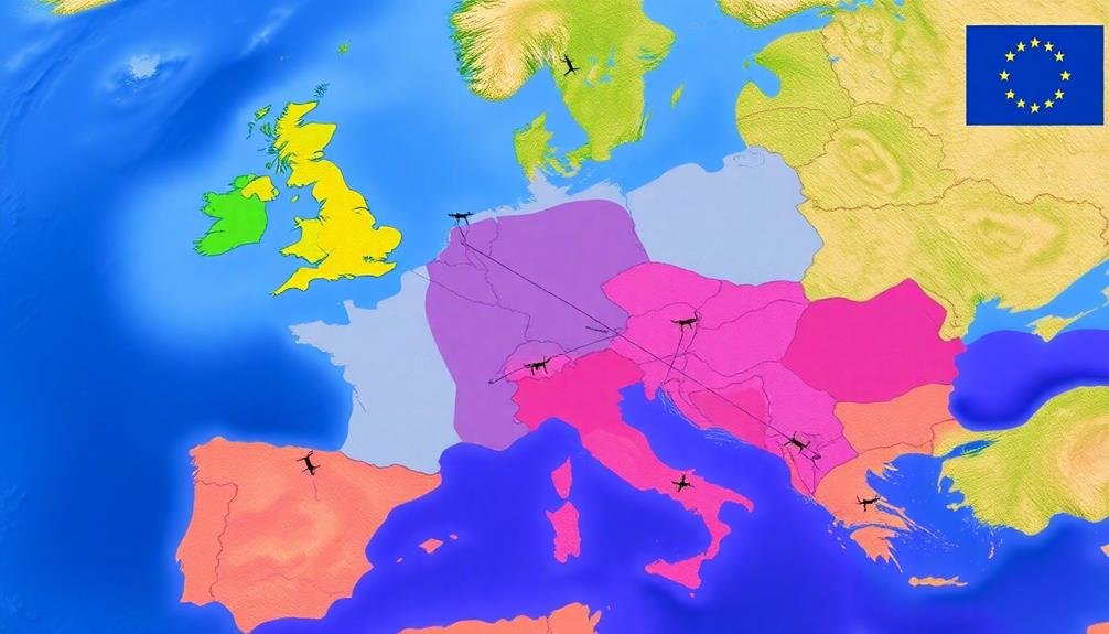
While the United States has its own set of drone regulations, the European Union (EU) has established a harmonized framework for unmanned aircraft operations across its member states.
The EU's drone regulations are based on a risk-based approach, categorizing operations into three main classes: open, specific, and certified.
In the open category, you'll find most recreational and some professional drone operations. You don't need prior authorization, but you must follow strict rules on altitude limits, distance from people, and visual line of sight.
The specific category covers more complex operations that require a risk assessment and operational authorization from the national aviation authority. For certified operations, which involve the highest risks, you'll need to comply with aviation rules similar to those for manned aircraft.
When mapping with drones in the EU, you must adhere to these regulations and any additional local restrictions. You'll need to register as a drone operator and may require remote pilot certification, depending on your operation's category.
Remember to respect privacy laws, avoid restricted areas, and always prioritize safety. The EU's harmonized approach aims to foster innovation while ensuring safe and responsible drone use across member states.
Asian Countries' Unmanned Aircraft Policies
Asian countries often have diverse approaches to regulating unmanned aircraft. You'll find that policies can vary considerably from one nation to another, reflecting different priorities and concerns.
In China, for example, you'll need to register your drone and obtain a license for commercial operations. Japan has strict regulations on drone flights near airports and densely populated areas, while South Korea requires operators to obtain permits for flights above certain altitudes.
When flying unmanned aircraft in Asian countries, you should be aware of these common regulations:
- No-fly zones around sensitive areas like government buildings and military installations
- Restrictions on flying at night or beyond visual line of sight
- Weight limits for drones that don't require registration
- Mandatory insurance coverage for commercial drone operations
India has recently implemented a digital sky platform for drone registration and flight permissions.
In Singapore, you'll find a thorough regulatory framework that includes pilot licensing and drone registration.
It's essential to research and comply with local regulations before operating unmanned aircraft in any Asian country, as penalties for violations can be severe, including fines and imprisonment.
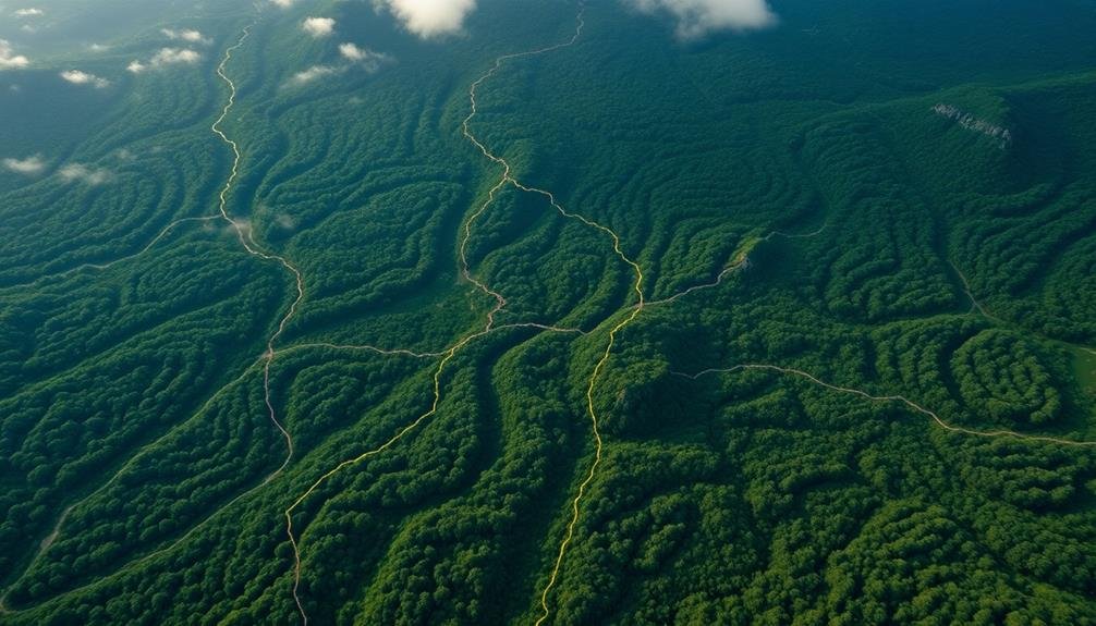
African Nations' Aerial Survey Rules
Across the African continent, aerial survey regulations for unmanned aircraft vary widely. You'll find that some countries have embraced drone technology for mapping and surveys, while others maintain strict restrictions.
In South Africa, you need to obtain a Remote Pilot License (RPL) and register your drone with the Civil Aviation Authority. They've established clear guidelines for commercial drone operations, including aerial surveys.
Kenya has similar requirements, but you'll also need special permission for any aerial photography.
Nigeria's regulations are evolving, but currently, you must register your drone and obtain approval for each flight.
In contrast, Rwanda has pioneered progressive drone policies, allowing for beyond visual line of sight (BVLOS) operations in certain circumstances.
Morocco requires prior authorization for all drone flights, while Egypt has banned drones entirely without special military approval.
You'll find that many African nations are still developing their unmanned aircraft regulations, so it's essential to check the latest rules before planning any aerial surveys.
Oceania's Approach to Drone Mapping
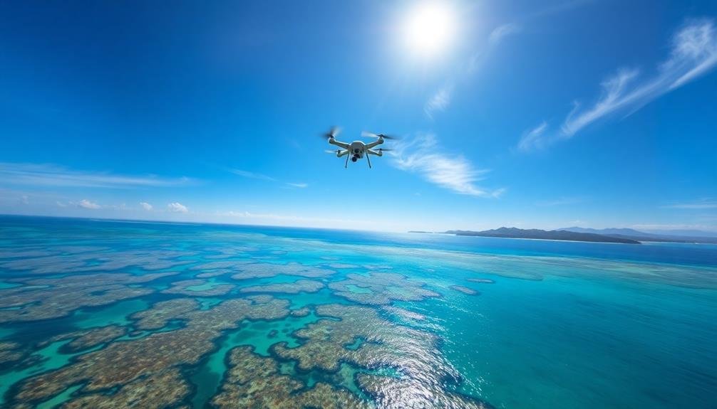
Shifting our focus to Oceania, you'll find a more unified approach to drone mapping regulations. Australia and New Zealand, the region's largest countries, have taken the lead in establishing extensive guidelines for unmanned aircraft operations. These nations have prioritized safety, privacy, and environmental concerns while recognizing the potential benefits of drone technology in mapping and surveying.
In Oceania, you'll encounter the following key aspects of drone mapping regulations:
- Mandatory registration for drones weighing over 250 grams
- Strict no-fly zones around airports, military installations, and sensitive areas
- Required certifications for commercial drone operators
- Specific altitude and distance limitations for drone flights
Smaller Pacific Island nations have largely adopted similar frameworks, often modeling their regulations after Australia and New Zealand.
However, you'll notice some variations in enforcement and implementation across the region. For instance, some islands have stricter rules regarding drone use near cultural sites or wildlife habitats.
As you navigate Oceania's drone mapping landscape, you'll need to stay informed about local regulations and obtain necessary permits before conducting aerial surveys. The region's approach aims to balance technological advancement with environmental and cultural preservation.
South American Drone Legislation Overview
While South America has embraced drone technology, you'll find a diverse regulatory landscape across the continent. Countries like Brazil, Argentina, and Chile have established extensive drone regulations, while others are still developing their frameworks.
In Brazil, you'll need to register your drone with ANAC, the national aviation authority, if it weighs more than 250g. You're required to maintain visual line of sight and fly below 400 feet.
Argentina's regulations are similar, but they also mandate insurance coverage for commercial drone operations.
Chile has implemented a licensing system for drone pilots, with different categories based on the drone's weight and intended use.
Peru and Colombia have adopted regulations that restrict drone flights near airports and require operator registration.
In contrast, countries like Venezuela and Bolivia have limited drone-specific legislation. You'll need to rely on general aviation laws and local interpretations when operating in these areas.
As you plan drone mapping projects in South America, it's essential to research each country's specific requirements. Regulations can change rapidly, so stay informed about the latest updates to guarantee compliance and safe operations throughout the continent.
Middle Eastern UAV Mapping Restrictions
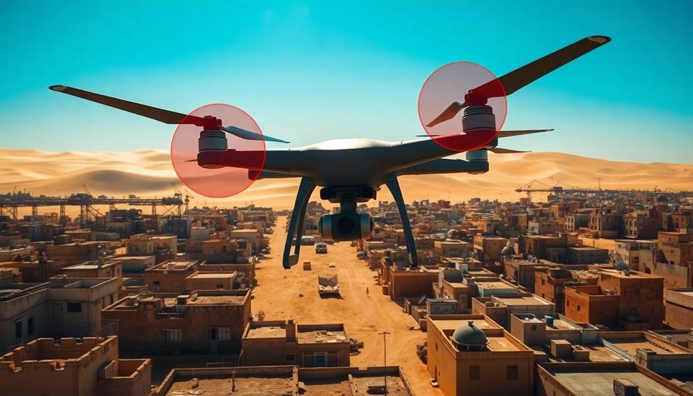
Middle Eastern countries have implemented strict regulations for UAV mapping due to security concerns and privacy issues. You'll find that many nations in this region require extensive permits and approvals before conducting any aerial mapping activities.
These restrictions often apply to both commercial and personal drone use, with some countries outright banning UAVs for civilian purposes.
When planning UAV mapping projects in the Middle East, you should be aware of the following key points:
- Mandatory registration of all drones with local authorities
- Strict no-fly zones around military installations, government buildings, and essential infrastructure
- Requirement for certified operators and specific flight certifications
- Potential need for real-time tracking and identification systems on UAVs
You'll need to research each country's specific laws, as they can vary greatly. For instance, the UAE has relatively progressive drone regulations, while Saudi Arabia maintains more restrictive policies.
It's vital to obtain proper authorizations and adhere to local guidelines to avoid legal issues or equipment confiscation. Remember that penalties for violating UAV mapping restrictions in the Middle East can be severe, including hefty fines and imprisonment.
Always prioritize compliance and safety when operating drones in this region.
International Waters and Aerial Surveys
When conducting aerial surveys over international waters, you'll need to take into account both territorial sea boundaries and high seas regulations.
You're generally free to operate unmanned aircraft beyond the 12 nautical mile limit of a nation's territorial waters.
However, you must still comply with international aviation rules and any specific regulations for unmanned aerial vehicles in these areas.
Territorial Sea Boundaries
The concept of territorial sea boundaries plays an essential role in determining where unmanned aircraft can operate for international aerial surveys.
You'll need to understand that most coastal nations claim a 12-nautical-mile territorial sea, extending from their coastline. Within this area, the country has full sovereignty over the airspace, which impacts your unmanned aircraft operations.
When planning your aerial surveys, consider these key points:
- Territorial sea boundaries can vary between countries
- Some nations claim larger exclusive economic zones beyond the 12-mile limit
- Disputes over territorial waters can complicate aerial survey permissions
- International straits may have special rules for overflight
You must obtain permission from the coastal state before conducting aerial surveys within their territorial sea. This applies to both manned and unmanned aircraft.
However, innocent passage through territorial waters is generally allowed for ships, but this doesn't extend to aircraft.
You'll need to be aware of any specific regulations or restrictions imposed by individual countries on unmanned aircraft operations within their territorial seas.
Always check the latest diplomatic agreements and local laws before planning your aerial survey missions near coastal areas.
High Seas Regulations
Beyond territorial waters lie the high seas, where different rules apply for unmanned aircraft operations. When you're conducting aerial surveys or flying unmanned aircraft over international waters, you'll need to adhere to international maritime law and aviation regulations.
The United Nations Convention on the Law of the Sea (UNCLOS) governs activities in international waters. While it doesn't specifically address unmanned aircraft, it does provide a framework for peaceful use of the seas. You'll need to guarantee your operations don't interfere with other nations' rights to navigate freely.
The International Civil Aviation Organization (ICAO) sets standards for aircraft operations over the high seas. You'll need to comply with ICAO rules regarding flight plans, communication, and navigation.
Remember, even in international airspace, you're still subject to the laws of the country where your aircraft is registered.
When mapping the high seas, you'll face unique challenges. There's no single authority controlling this airspace, so you'll need to coordinate with multiple countries and organizations.
You'll also need robust navigation systems to maintain accurate positioning far from shore. Always prioritize safety and be prepared for emergencies in these remote areas.
Global No-Fly Zones for Drones
As you explore global drone regulations, you'll encounter strict no-fly zones around international airports to prevent interference with commercial air traffic.
You'll also find that military bases are off-limits to civilian drones due to national security concerns.
Additionally, many countries prohibit drone flights near sensitive government facilities, including administrative buildings and critical infrastructure.
International Airport Restrictions
Around the world, international airports enforce strict no-fly zones for drones to guarantee aviation safety.
You'll find that these restrictions typically extend several miles from the airport's perimeter, creating a buffer zone to prevent potential collisions with manned aircraft.
While specific regulations may vary by country, most follow guidelines set by the International Civil Aviation Organization (ICAO).
When flying your drone near an international airport, you must be aware of:
- The exact boundaries of the no-fly zone
- Any additional local restrictions or temporary flight limitations
- Required permits or authorizations for operation within restricted areas
- Potential penalties for violating airspace regulations
You'll need to consult local aviation authorities or use official drone apps to check for up-to-date information on airport restrictions.
Many countries have implemented geofencing technology, which automatically prevents drones from entering restricted airspace.
However, it's your responsibility to ascertain compliance.
Military Base Exclusions
Similar to international airports, military bases worldwide enforce strict no-fly zones for drones.
You'll find these restrictions are non-negotiable and apply to all unmanned aircraft, regardless of size or purpose. Military installations are considered sensitive areas, and unauthorized drone flights pose significant security risks.
When planning your drone flights, you must be aware of nearby military facilities. Most countries maintain detailed maps and databases of restricted airspace, which you should consult before takeoff.
In the United States, for example, you're prohibited from flying within 3,000 feet of military bases. Violating these rules can result in severe penalties, including fines and potential imprisonment.
Some countries have implemented geofencing technology that automatically prevents drones from entering restricted airspace around military bases.
However, you shouldn't rely solely on this feature. It's your responsibility to stay informed about local regulations and no-fly zones.
Sensitive Government Facilities
Drone operators must be acutely aware of sensitive government facilities when planning their flights. These areas are often designated as no-fly zones for unmanned aircraft due to security concerns.
You'll need to research and identify these locations before launching your drone to avoid legal issues and potential security breaches.
Sensitive government facilities that are typically off-limits for drone flights include:
- Intelligence agency headquarters
- Nuclear power plants and research facilities
- National laboratories
- Embassies and consulates
When mapping out your flight path, consult official government resources and aeronautical charts to identify these restricted areas.
Many countries provide online databases or mobile apps that display no-fly zones for drones. It's essential to stay up-to-date with these restrictions, as they can change based on current events or security threats.
If you're unsure about a specific location, it's best to err on the side of caution and avoid flying near it.
Violating these no-fly zones can result in severe penalties, including fines, confiscation of your equipment, and even criminal charges.
Always prioritize safety and respect for national security when operating your drone near any government facility.
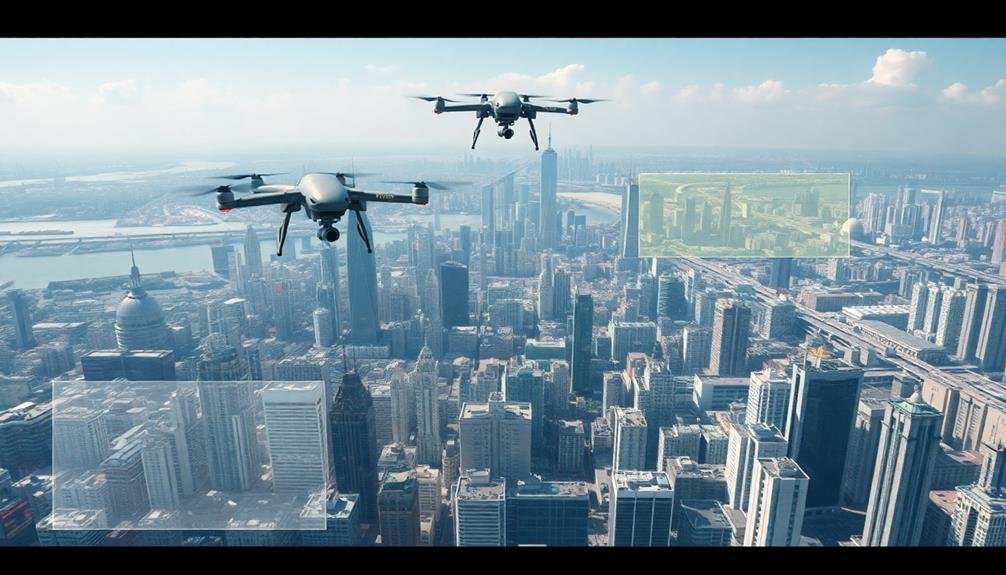
Altitude Limits for Mapping Drones
In accordance with international aviation regulations, altitude limits for mapping drones vary depending on the specific location and purpose of the flight. You'll need to be aware of these restrictions to guarantee compliance and safety during your mapping operations.
Generally, most countries impose a maximum altitude of 400 feet (122 meters) above ground level for recreational and commercial drone flights. However, for specific mapping purposes, you may be granted permission to fly higher. You'll need to check with local aviation authorities for exact limits and requirements.
Here's a table summarizing altitude limits for mapping drones in different contexts:
| Context | Typical Altitude Limit | Special Considerations |
|---|---|---|
| Urban Areas | 200-400 feet | Building height restrictions |
| Rural Areas | 400-1000 feet | Terrain variations |
| Coastal Mapping | 400-1500 feet | Sea level considerations |
| Forest Surveys | 400-2000 feet | Canopy height allowances |
| Mountain Regions | 400-3000 feet | Terrain-following rules |
Data Privacy in Drone Surveying
When conducting aerial surveys, you'll need to navigate the complex landscape of data privacy regulations. Different countries have varying laws regarding the collection, storage, and use of data gathered by drones. You'll want to familiarize yourself with local and international regulations to guarantee compliance and protect individuals' privacy rights.
Consider implementing these best practices for data privacy in drone surveying:
- Obtain necessary permissions and inform affected parties before conducting surveys
- Blur or remove identifiable information from captured images and videos
- Securely store and encrypt collected data to prevent unauthorized access
- Establish clear data retention and deletion policies
It's essential to be transparent about your data collection methods and purposes. You should have a clear privacy policy that outlines how you'll use and protect the information gathered during surveys.
Be prepared to address concerns from property owners and local authorities regarding privacy issues.
Remember that data privacy regulations are constantly evolving, so you'll need to stay informed about changes in legislation. By prioritizing data privacy in your drone surveying operations, you'll build trust with clients and communities while avoiding potential legal issues.
Licensing Requirements for Drone Operators
As you navigate the complexities of data privacy, you'll also need to contemplate the legal requirements for operating your drone.
Licensing requirements for drone operators vary globally, but most countries have implemented regulations to guarantee safe and responsible use.
You'll typically need to register your drone and obtain a license or certificate to operate it commercially. In the US, the FAA requires you to pass an aeronautical knowledge test and obtain a Remote Pilot Certificate. The UK's CAA mandates a similar process, with operators needing to pass a theory test and practical flight assessment.
Many countries categorize drones based on weight and intended use, with different licensing requirements for each category. You'll often need additional certifications for specialized operations like night flights or flying in controlled airspace.
Keep in mind that licensing requirements are subject to change, so you'll need to stay updated on the latest regulations in your area. Some countries also require you to have insurance coverage for your drone operations.
Always check local laws before flying, as penalties for unlicensed operation can be severe, including fines and potential legal action.
Frequently Asked Questions
How Do Weather Conditions Affect Global Drone Mapping Regulations?
You'll find that weather conditions greatly impact drone regulations worldwide. High winds, heavy rain, or low visibility can restrict or prohibit flights. Many countries require you to check forecasts and adjust your plans accordingly for safety reasons.
What Are the Insurance Requirements for International Drone Mapping Operations?
You'll need to secure extensive insurance for your international drone mapping operations. It's crucial to cover liability, property damage, and equipment. Policies vary by country, so you should research specific requirements for each location you'll operate in.
How Do Different Countries Handle Cross-Border Drone Mapping Projects?
You'll find that cross-border drone mapping projects are handled differently by each country. You'll need to research specific regulations, obtain necessary permits, and coordinate with local authorities. It's essential to comply with each nation's airspace and data collection laws.
Are There Global Standards for Drone Mapping Accuracy and Data Quality?
You'll find there aren't universal standards for drone mapping accuracy and data quality. However, organizations like ASPRS and ISO provide guidelines. It's essential to check local regulations and industry-specific requirements for your mapping projects.
What Are the Environmental Impact Considerations for Large-Scale Drone Mapping Missions?
You'll need to contemplate noise pollution, wildlife disturbance, and energy consumption. Be mindful of your drones' carbon footprint and potential habitat disruption. Plan flight paths carefully and use eco-friendly technologies when possible to minimize environmental impact.
In Summary
You've seen that global mapping rules for unmanned aircraft vary widely across regions. Remember, it's essential to research and comply with local regulations before flying. Always respect no-fly zones, altitude limits, and privacy laws. Don't forget to obtain proper licensing if required. As drone technology evolves, stay updated on changing policies. By following these guidelines, you'll contribute to safe and responsible drone mapping practices worldwide.
As educators and advocates for responsible drone use, we’re committed to sharing our knowledge and expertise with aspiring aerial photographers.
Leave a Reply