Before taking flight with your photography UAV, you'll want to perform these five essential pre-flight checks. First, inspect your battery and power systems, verifying proper charge and secure connections. Next, validate your camera and gimbal functionality, testing movement and settings. Then, confirm your flight control and GPS setup, including compass calibration. Don't forget to assess weather and environmental conditions for safe operation. Finally, guarantee compliance with airspace regulations and local laws. By following these vital steps, you'll set yourself up for a successful and safe aerial photography mission. Dive deeper to master each check and elevate your drone photography game.
Key Takeaways
- Inspect battery for damage, ensure proper charge, and secure connections for reliable power during flight.
- Test camera and gimbal functionality, including movement, settings, and image capture capabilities.
- Verify flight controller responsiveness, GPS connection, and compass calibration for stable flight performance.
- Assess weather conditions, including wind speed and visibility, and evaluate the surrounding environment for potential hazards.
- Confirm compliance with local airspace regulations, including altitude limits and no-fly zones, before takeoff.
Battery and Power Systems Check
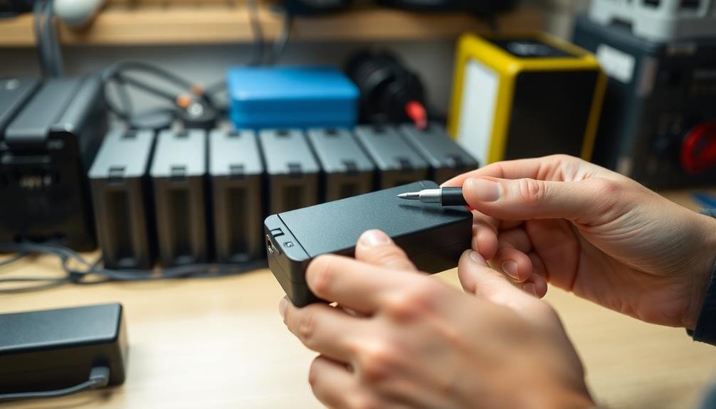
Why is checking your UAV's battery and power systems vital before takeoff? A fully charged and properly functioning battery is essential for a safe and successful flight. It guarantees you'll have enough power to complete your mission and return safely.
Begin by inspecting the battery for any physical damage, swelling, or leaks. If you spot any issues, don't use the battery.
Next, check the battery's charge level. Most modern UAVs have built-in battery indicators, but it's wise to use a separate battery checker for accuracy. Aim for a minimum of 80% charge before flying.
Don't forget to examine the battery connections and mounting system for security.
Test your UAV's power-up sequence. Confirm all systems activate properly and there are no error messages. Pay attention to any unusual sounds or vibrations during this process.
If your drone has removable propellers, check that they're correctly installed and tightened.
Camera and Gimbal Functionality
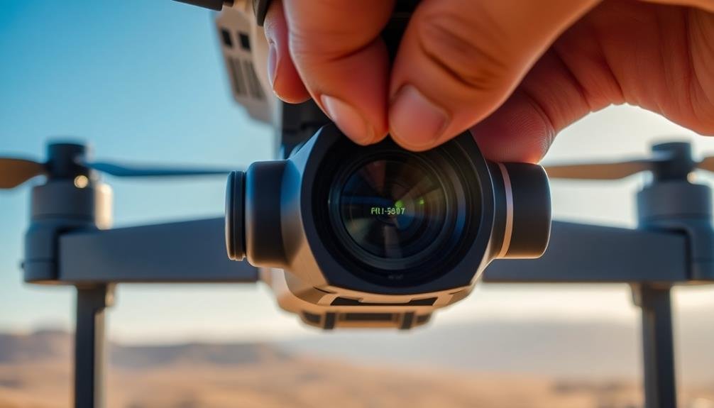
With your power systems checked, it's time to focus on your UAV's camera and gimbal functionality. Confirm your camera is securely attached to the gimbal and free from any visible damage.
Test the gimbal's movement by gently rotating it through its full range of motion, listening for any unusual sounds or resistance.
Power on your camera and verify that it's responding to your controller inputs. Check the camera settings, including resolution, frame rate, and exposure, to confirm they're appropriate for your planned shoot.
If you're using filters, make sure they're clean and properly attached.
Test your camera's functionality by:
- Capturing a few test shots
- Recording a short video clip
- Adjusting focus and zoom (if applicable)
Next, inspect the live feed on your controller or mobile device. Look for any signs of interference, lag, or poor image quality.
If you notice any issues, try repositioning your antennas or moving to a different location.
Flight Control and GPS Setup
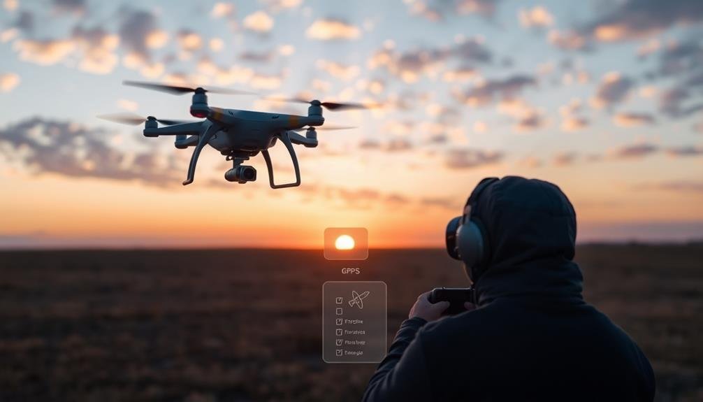
The flight control system and GPS functionality are critical components of your UAV's operation. Before takeoff, verify your drone's flight controller is responding correctly to input commands. Test this by gently moving the aircraft and observing the compensating movements of the motors. Check that all flight modes are accessible and functioning as expected.
Verify your GPS connection by powering on the drone in an open area. Wait for the GPS to acquire a strong signal, typically indicated by a series of LED flashes or through your controller's display. Confirm that the home point is correctly set and that the "return to home" function is operational.
Calibrate the compass if you're in a new location or if it's been a while since your last flight. Follow the manufacturer's instructions for compass calibration, usually involving rotating the drone on multiple axes.
Double-check that your controller is properly paired with the aircraft and that the telemetry data is accurate. Finally, review your flight parameters, including maximum altitude, return to home altitude, and distance limits, to verify they're appropriate for your planned flight and comply with local regulations.
Weather and Environmental Assessment
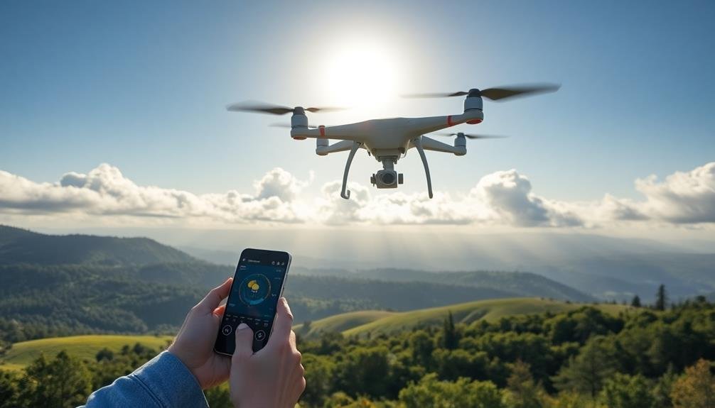
Evaluating weather conditions and environmental factors is essential before any UAV flight. You'll need to check for wind speed, precipitation, and visibility to guarantee safe operation. Wind speeds above 15-20 mph can make controlling your drone difficult, while rain or snow can damage sensitive equipment.
Poor visibility due to fog or haze may interfere with your camera's performance and increase the risk of collisions.
Don't forget to evaluate the surrounding environment. Look for potential obstacles like trees, power lines, or buildings that could interfere with your flight path. Be aware of any restricted airspace or no-fly zones in your area.
You should also consider the time of day and lighting conditions, as these can considerably impact your photography results.
Create vivid imagery by considering:
- A drone soaring through clear blue skies, capturing stunning aerial landscapes
- Your UAV battling gusty winds, struggling to maintain stability
- A misty morning limiting visibility, with your drone barely visible in the distance
Remember to check local weather forecasts and use reliable weather apps specifically designed for drone pilots.
Airspace and Regulatory Compliance
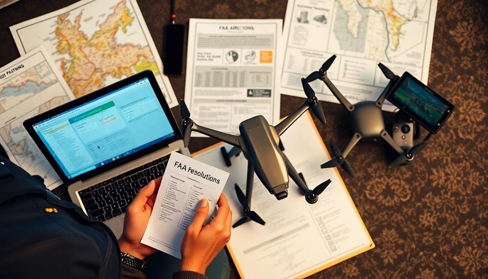
Understanding airspace regulations and guaranteeing compliance is a fundamental step in your pre-flight checklist. Before launching your photography UAV, you must verify that you're operating in authorized airspace.
Check local aviation maps and apps to identify any restricted areas, temporary flight restrictions, or controlled airspace nearby. If you're flying in controlled airspace, obtain proper authorization through the FAA's LAANC system or by filing a manual request.
Familiarize yourself with current regulations regarding drone operations, including altitude limits, visual line-of-sight requirements, and no-fly zones around airports and sensitive locations.
Ascertain your drone is properly registered with the FAA and that you have the necessary certifications, such as a Part 107 license for commercial operations.
Be aware of any local ordinances or site-specific rules that may affect your flight. Some areas may have additional restrictions on drone use, even if they're not indicated on aviation maps.
Always respect privacy laws and avoid flying over private property without permission.
Frequently Asked Questions
How Do I Transport My Drone Safely to the Shooting Location?
You'll want to transport your drone in a protective case. Make certain it's padded and secure. Remove batteries and store them separately. Don't forget to pack accessories safely too. Keep it in a cool, dry place during transit.
What's the Best Way to Clean My Drone's Propellers Before Flight?
You'll want to clean your drone's propellers gently with a microfiber cloth. Remove any visible debris or dirt. For stubborn grime, use a soft brush or cotton swab with isopropyl alcohol. Make certain they're completely dry before flight.
Should I Use ND Filters for Daytime Aerial Photography?
You'll often benefit from ND filters for daytime aerial photography. They'll help you control exposure, reduce glare, and capture smoother motion blur. Experiment with different strengths to find the best look for your shots.
How Often Should I Update My Drone's Firmware?
You should update your drone's firmware regularly, at least every few months. Always check for updates before important flights. Don't ignore notifications, as new firmware often includes essential safety features and performance improvements. Stay current to fly safely.
What's the Ideal Altitude for Capturing Cinematic Aerial Footage?
You'll find the ideal altitude for cinematic aerial footage varies. Generally, fly between 100-400 feet for diverse shots. Lower altitudes capture intimate details, while higher ones offer sweeping landscapes. Experiment to find what works best for your scene.
In Summary
You've now got the essential pre-flight checks down pat. Remember, these steps aren't just formalities—they're vital for safe and successful aerial photography. By diligently checking your battery, camera, flight controls, weather conditions, and regulatory compliance, you'll minimize risks and maximize your chances of capturing stunning shots. Stay vigilant, keep learning, and always prioritize safety. With practice, these checks will become second nature, allowing you to focus on your creative vision in the sky.

As educators and advocates for responsible drone use, we’re committed to sharing our knowledge and expertise with aspiring aerial photographers.


Leave a Reply