To maximize ROI in surveying with UAVs, focus on three key areas. First, optimize flight planning by researching obstacles, determining ideal altitudes, and calculating image overlap. This guarantees efficient data collection and reduces costly re-flights. Second, invest in advanced processing software with automated workflows and AI-powered analytics to streamline data analysis and improve insights. Finally, train and certify your operators thoroughly, covering piloting skills, safety protocols, and surveying techniques. This enhances operational efficiency and data quality. By implementing these strategies, you'll greatly boost your UAV surveying ROI. Dive deeper to open up the full potential of these game-changing tips.
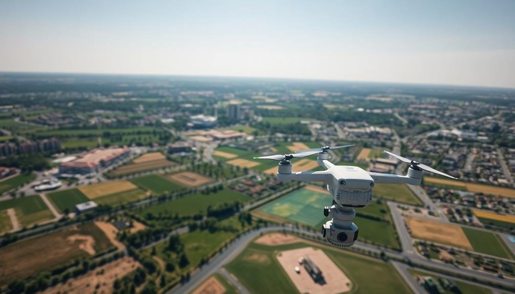
Optimize Flight Planning
Three key elements define successful UAV surveying: flight planning, data collection, and post-processing.
To enhance your flight planning, start by thoroughly researching your project area. Identify potential obstacles, restricted airspace, and terrain challenges. Use this information to determine the ideal flight altitude, speed, and path for your UAV.
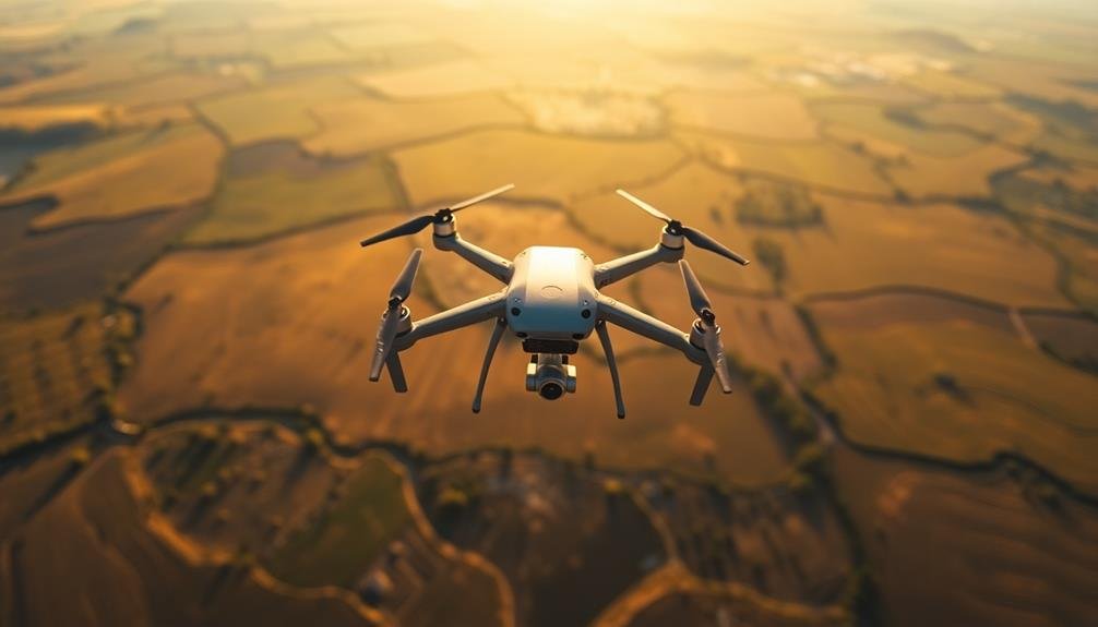
Next, calculate the required image overlap and sidelap to guarantee extensive coverage. Typically, you'll want 70-80% forward overlap and 60-70% side overlap for accurate results. Consider the camera's field of view and resolution when planning your flight lines.
Choose the right time of day for your survey. Early morning or late afternoon light can minimize shadows and improve image quality. Check weather forecasts and avoid flying in high winds, rain, or extreme temperatures.
Utilize flight planning software to automate and enhance your mission. These tools can help you create efficient flight paths, set waypoints, and adjust camera settings for peak data capture.
Don't forget to factor in battery life and plan for multiple flights if necessary.
Invest in Advanced Processing Software
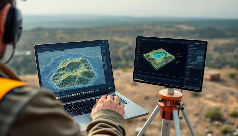
Once you've collected your survey data, it's time to turn those raw images into valuable insights. Investing in advanced processing software is essential for maximizing your UAV surveying ROI. These powerful tools can transform your data into accurate 3D models, orthomosaics, and detailed topographic maps with minimal manual intervention.
Look for software that offers:
- Automated processing workflows
- Cloud-based collaboration features
- AI-powered object recognition
- Seamless integration with GIS platforms
- Advanced analytics and reporting capabilities
By choosing the right software, you'll greatly reduce processing time and improve the accuracy of your final deliverables. This efficiency allows you to take on more projects and deliver results faster, directly impacting your bottom line.
Don't shy away from investing in high-quality software – the time and resources saved will quickly offset the initial cost. Many providers offer subscription-based models, allowing you to scale your investment as your business grows.
Additionally, look for software with regular updates and strong customer support to guarantee you're always working with the latest technology and can quickly resolve any issues that arise.
Train and Certify Operators

While investing in high-quality equipment and software is essential, your UAV surveying operation's success ultimately hinges on the skill of your operators. Make certain your team receives thorough training on UAV piloting, safety protocols, and surveying techniques.
Begin with classroom instruction covering regulations, flight planning, and data collection methods. Follow this with hands-on flight training, starting with basic maneuvers and progressing to complex surveying missions.
Don't skimp on certification programs. Pursue industry-recognized credentials like the FAA Part 107 license for commercial drone operations in the US. Consider specialized certifications in photogrammetry, LiDAR, or thermal imaging to expand your service offerings.
Implement a continuous learning program to keep your operators up-to-date with evolving technologies and regulations. Develop in-house standard operating procedures (SOPs) tailored to your specific equipment and projects.
Regularly assess your operators' skills through practical tests and simulations. Encourage knowledge sharing among team members and create mentorship opportunities for experienced operators to guide newcomers.
Frequently Asked Questions
How Does Weather Affect UAV Surveying Accuracy and Efficiency?
Weather greatly impacts your UAV surveying. Wind can affect flight stability and data quality. Rain or fog can obstruct sensors. Extreme temperatures may reduce battery life. You'll need to plan carefully and choose ideal conditions for best results.
What Are the Legal Considerations for Using UAVS in Different Jurisdictions?
You'll need to research local regulations carefully. They vary widely between jurisdictions. Check for licensing requirements, no-fly zones, altitude restrictions, and privacy laws. Don't forget to register your UAV and obtain necessary permits before flying.
How Often Should UAV Equipment Be Maintained and Calibrated?
You should maintain and calibrate your UAV equipment regularly, ideally before each flight. Don't skip pre-flight checks. Follow manufacturer guidelines for routine maintenance, and schedule professional servicing at least once a year for peak performance and safety.
What Insurance Coverage Is Necessary for Commercial UAV Surveying Operations?
You'll need liability insurance to cover potential damages or injuries. Hull insurance protects your UAV equipment. Some operators also get professional indemnity insurance. Check local regulations, as requirements can vary by location and operation type.
How Do You Ensure Data Security When Collecting and Storing UAV Survey Information?
You'll need robust data protection measures. Encrypt your data during transmission and storage, use secure servers, implement access controls, and regularly update your security protocols. Don't forget to train your team on data security best practices.
In Summary
You've now got the tools to supercharge your UAV surveying ROI. By optimizing flight plans, investing in cutting-edge processing software, and ensuring your operators are well-trained and certified, you'll maximize efficiency and accuracy. Remember, it's not just about flying drones; it's about leveraging technology to its fullest potential. Stay updated on industry trends and continuously refine your processes. With these strategies, you'll stay ahead of the competition and deliver outstanding results to your clients.
As educators and advocates for responsible drone use, we’re committed to sharing our knowledge and expertise with aspiring aerial photographers.


Leave a Reply