
To spot invasive species from above, start by familiarizing yourself with their unique patterns and characteristics. Optimize your drone flight paths for efficient coverage, and utilize multispectral imaging technology to detect subtle differences. Look for distinct canopy features like unusual colors or shapes, and monitor seasonal growth variations that set invasives apart. Analyze habitat disturbance indicators, such as linear features or bare patches, which often signal invasion hotspots. Finally, leverage machine learning algorithms to enhance detection accuracy and process large datasets quickly. These tips will sharpen your aerial observation skills, but there's even more to uncover in the world of invasive species detection.
Familiarize With Target Species' Patterns
Naturalists know that recognizing invasive species starts with understanding their unique patterns. To spot these unwelcome guests from above, you'll need to familiarize yourself with their distinctive characteristics. Study images and descriptions of the target species, paying close attention to their growth habits, coloration, and seasonal changes.
Learn how they spread and colonize new areas. Many invasive plants form dense clusters or monocultures, which can be easier to spot from aerial views. Look for unusual color patterns or textures that stand out from native vegetation. For example, kudzu vines create a blanket-like appearance over trees and structures, while water hyacinth forms floating mats on water surfaces.
Timing is essential. Some invasive species are more visible during specific seasons, such as when they flower or change color. Research the best times to conduct aerial surveys for your target species.
Additionally, familiarize yourself with the native species in the area to avoid misidentification. By honing your ability to recognize these invasive patterns, you'll become more effective at spotting and mapping their presence from above.
Optimize Drone Flight Paths
When using drones to spot invasive species, you'll need to plan efficient survey routes to cover the target area thoroughly.
You should consider the landscape's topography, vegetation density, and any obstacles that might affect your drone's flight.
As you execute your survey, be prepared to adapt your flight paths to account for unexpected terrain variations or environmental conditions you encounter.
Plan Efficient Survey Routes
To maximize the efficiency of drone surveys for invasive species, you'll need to plan ideal flight paths. Start by mapping out the area you're surveying, noting key features like water bodies, terrain changes, and known invasive species hotspots. Use this information to create a grid pattern that guarantees complete coverage without unnecessary overlap.
Consider the drone's battery life and adjust your route accordingly. It's often best to plan multiple shorter flights rather than one long mission. Factor in time for battery changes and data downloads between flights.
Weather conditions can impact your survey, so check forecasts and plan flights during prime visibility and wind conditions. When designing your route, prioritize areas with higher likelihood of invasive species presence. Incorporate elevation changes to capture different perspectives of the landscape.
Use software tools to enhance your flight path, considering factors like turning radius and camera field of view. Don't forget to comply with local regulations regarding drone usage and altitude restrictions.
Adapt to Terrain Variations
Adapting to terrain variations calls for flexible flight planning. You'll need to adjust your drone's flight paths based on the landscape you're surveying. For hilly or mountainous areas, program your drone to maintain a consistent height above the ground, rather than flying at a fixed altitude. This guarantees you capture clear, detailed images regardless of elevation changes.
In forested regions, you may need to fly at a higher altitude to avoid obstacles while still maintaining image quality. Consider using a grid pattern with tighter spacing to compensate for reduced visibility through dense canopies.
For open fields or grasslands, you can typically fly lower and cover more ground in each pass.
When surveying coastal areas or wetlands, factor in wind patterns and potential glare from water surfaces. Adjust your flight times to avoid peak sunlight hours for better image clarity.
In urban or suburban environments, be aware of local regulations and potential obstacles like buildings or power lines. Use a zigzag pattern to efficiently cover areas with irregular boundaries or obstacles.
Always have backup plans for different weather conditions and be prepared to modify your flight paths on the spot if unexpected terrain features arise.
Utilize Multispectral Imaging Technology
You'll find multispectral imaging technology essential for enhancing your ability to detect invasive plant species.
With this advanced tool, you can identify unique spectral signatures that distinguish invasive plants from native vegetation.
You're also able to analyze seasonal growth patterns, helping you track the spread of invasive species over time.
Enhanced Vegetation Detection Capabilities
Multispectral imaging technology has revolutionized the way we detect invasive plant species. This advanced tool allows you to capture and analyze different wavelengths of light reflected by vegetation, revealing unique spectral signatures for various plant species. You'll be able to distinguish invasive plants from native ones, even when they're visually similar.
With enhanced vegetation detection capabilities, you can:
- Identify subtle differences in plant health and stress levels
- Detect early signs of invasion before they become visible to the naked eye
- Map large areas quickly and efficiently
Here's a breakdown of how multispectral imaging enhances vegetation detection:
| Wavelength | Information Provided | Application |
|---|---|---|
| Visible | Plant color and pigmentation | Species identification |
| Near-infrared | Leaf structure and biomass | Plant health assessment |
| Thermal | Plant temperature and water stress | Drought impact analysis |
Identify Unique Spectral Signatures
The key to effectively spotting invasive species lies in identifying their unique spectral signatures using multispectral imaging technology. You'll need to leverage specialized cameras that capture light across various wavelengths, including visible and infrared spectrums.
These cameras can detect subtle differences in how plants reflect and absorb light, which often aren't visible to the naked eye.
To identify unique spectral signatures, you'll first create a spectral library of known invasive species in your area. This involves collecting and analyzing spectral data from confirmed invasive plant populations.
Once you've established this baseline, you can compare it to aerial or satellite imagery of larger areas.
You'll want to focus on key wavelengths that highlight differences between invasive and native species. For example, some invasive plants might have distinct near-infrared reflectance patterns due to their leaf structure or chlorophyll content.
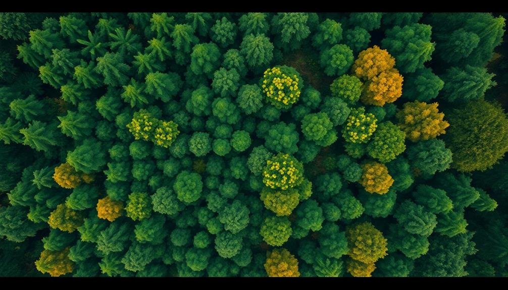
Seasonal Growth Pattern Analysis
Throughout the year, invasive species often exhibit distinct growth patterns that set them apart from native vegetation. You can leverage multispectral imaging technology to analyze these seasonal changes and identify potential invaders. By capturing images at regular intervals, you'll create a time series that reveals how different plant species respond to changing environmental conditions.
Look for unusual growth rates, early leaf-out, or late senescence compared to surrounding native plants. Many invasive species have longer growing seasons, allowing them to outcompete native flora. You'll want to pay close attention to rapid changes in biomass or sudden increases in canopy cover that don't align with expected patterns for the area.
Use vegetation indices like NDVI (Normalized Difference Vegetation Index) to quantify plant health and vigor over time. Invasive species may maintain higher NDVI values during periods when native plants typically decline.
Additionally, monitor changes in spectral signatures across seasons, as some invasives display unique reflectance patterns during flowering or fruiting stages. By combining these temporal analyses with spatial distribution data, you'll improve your ability to detect and map invasive species across large areas.
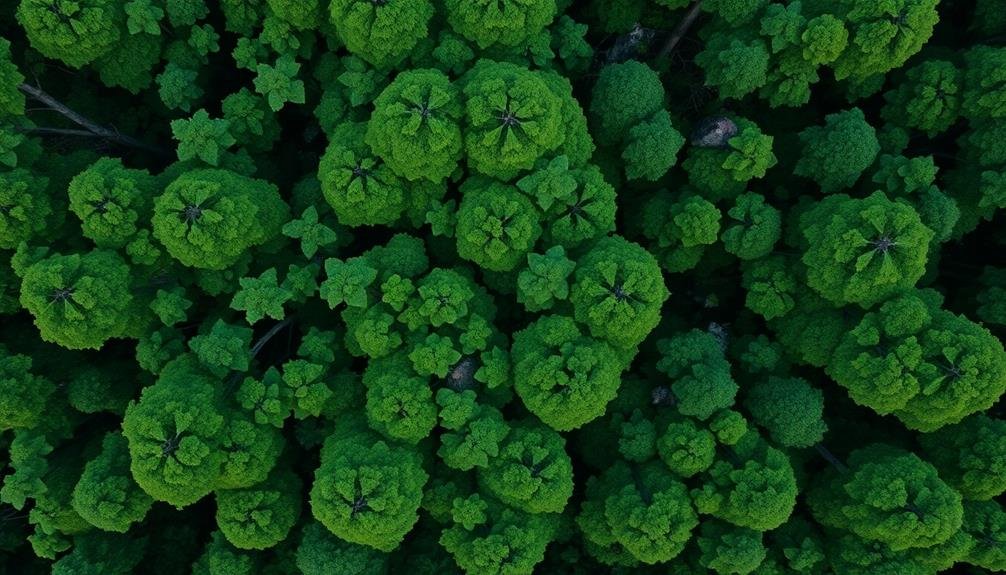
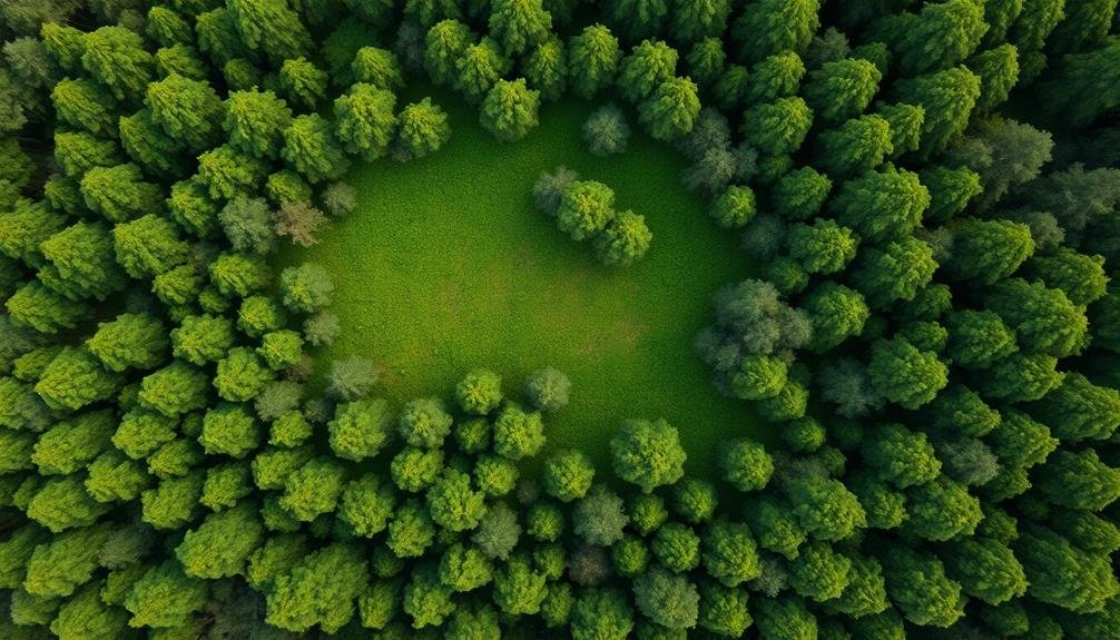
Identify Unique Canopy Characteristics
When scanning the forest from above, you'll notice that invasive species often stand out due to their distinctive canopy characteristics. These unique features can help you identify potential invasive plants quickly and efficiently. Look for differences in color, texture, and overall structure compared to the surrounding native vegetation.
Pay attention to these key canopy characteristics:
- Leaf color: Invasive species may exhibit brighter or darker shades than native plants.
- Crown shape: Some invasives have distinctive rounded or conical shapes that contrast with local species.
- Branching patterns: Unusual branching structures can indicate non-native plants.
- Density: Invasive species often form denser canopies, creating a more uniform appearance.
You'll also want to take into account the spatial distribution of these characteristics. Invasive species tend to form clusters or patches that expand outward from a central point.
They may create a mosaic-like pattern in the forest canopy, disrupting the natural diversity of native plant communities. By honing your eye to spot these unique canopy traits, you'll become more adept at identifying potential invasive species from aerial views, allowing for quicker intervention and management.
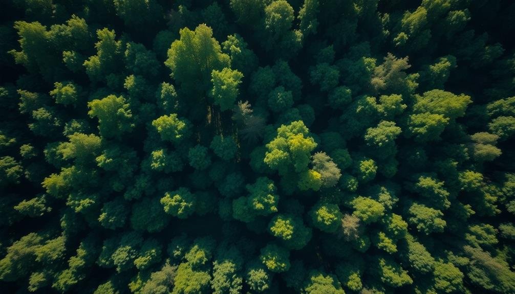
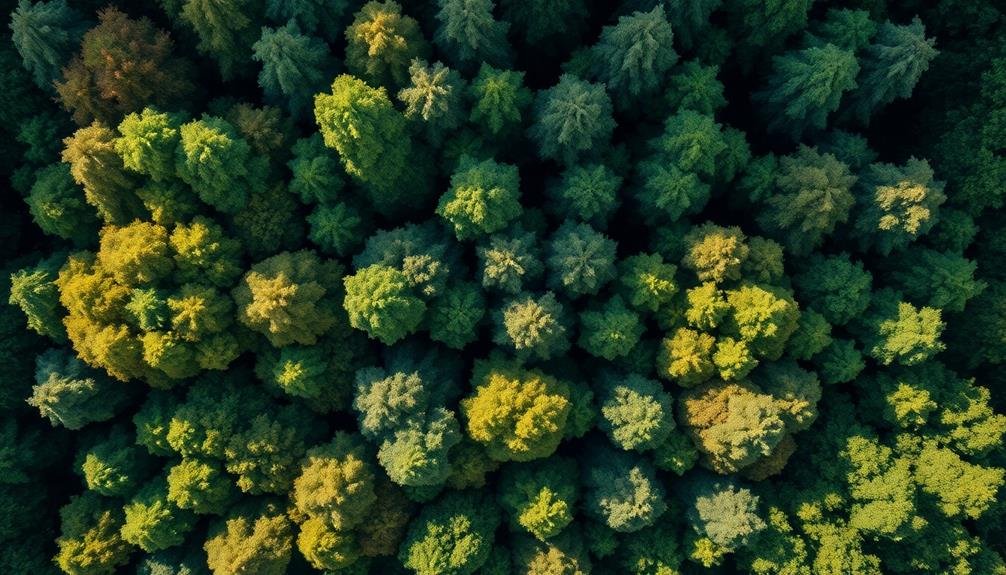
Monitor Seasonal Growth Variations
Observing seasonal growth patterns, you'll find that invasive species often exhibit different timelines compared to native plants. These differences can be key indicators when monitoring from above. Pay attention to early leaf-out or late leaf-drop, as many invasive plants begin growing earlier in spring or retain foliage longer in fall.
You'll want to track changes in vegetation density throughout the seasons. Invasive species may show rapid growth spurts, quickly outpacing native plants. Look for sudden increases in canopy cover or ground vegetation that don't align with typical growth patterns of local flora.
Flowering and fruiting periods can also be telling. Many invasives produce flowers or fruits at different times than native species. Keep an eye out for unexpected bursts of color or fruit production when the surrounding vegetation isn't displaying similar characteristics.
Drought and extreme weather responses are another area to monitor. Some invasive plants are more resilient to harsh conditions, maintaining their green appearance while native species struggle. This contrast can be particularly visible from aerial views during dry spells or after severe weather events.
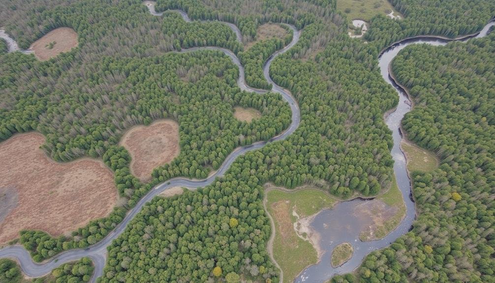
Analyze Habitat Disturbance Indicators
Since habitat disturbance often creates opportunities for invasive species, you'll need to analyze indicators of ecosystem disruption.
Look for signs of human activity or natural events that can disturb native habitats and create openings for invasive plants to thrive. Pay close attention to areas near roads, construction sites, or recently cleared land.
When analyzing aerial imagery or conducting drone surveys, focus on these key habitat disturbance indicators:
- Linear features: Look for straight lines cutting through natural landscapes, such as new roads, pipelines, or power line corridors.
- Bare patches: Identify areas of exposed soil or cleared vegetation, which can be prime spots for invasive species to establish.
- Edge effects: Observe changes in vegetation patterns along the boundaries between different habitat types or land uses.
- Fragmentation: Notice areas where once-continuous habitats have been divided into smaller, isolated patches.
Leverage Machine Learning Algorithms

With the rapid advancements in artificial intelligence, you can now leverage machine learning algorithms to enhance your invasive species detection efforts.
These powerful tools can analyze vast amounts of aerial imagery and sensor data to identify patterns and anomalies that might indicate the presence of invasive plants or animals.
To get started, you'll need to train your algorithm using a dataset of known invasive species in your target area.
Collect high-resolution images and spectral data of both native and invasive species, ensuring you have a diverse range of samples.
Feed this data into your chosen machine learning model, such as convolutional neural networks or random forests.
Once trained, your algorithm can process new aerial imagery quickly and accurately, flagging potential invasive species for further investigation.
You can integrate this system with drones or satellite imagery to cover large areas efficiently.
Remember to regularly update your model with new data to improve its accuracy and adapt to changing environmental conditions.
Frequently Asked Questions
How Much Does Aerial Invasive Species Detection Equipment Typically Cost?
You'll find aerial invasive species detection equipment costs vary widely. Prices can range from a few thousand dollars for basic drones to hundreds of thousands for advanced systems with specialized sensors and imaging technology.
Are There Legal Restrictions on Using Drones for Invasive Species Monitoring?
You'll need to check local laws, as drone regulations vary. Generally, you're required to register your drone, follow altitude limits, and avoid restricted areas. Some places may require special permits for environmental monitoring activities.
What Qualifications Are Needed to Become an Aerial Invasive Species Surveyor?
To become an aerial invasive species surveyor, you'll need a background in ecology or biology, drone piloting skills, and knowledge of remote sensing techniques. You should also have strong analytical abilities and familiarity with GIS software.
How Accurate Is Aerial Detection Compared to Ground-Based Invasive Species Surveys?
You'll find aerial detection can be less accurate than ground surveys for invasive species. It's often quicker but may miss smaller infestations. Ground surveys provide more detail, but they're slower and more labor-intensive. Each method has its pros and cons.
Can Aerial Detection Methods Be Used for Aquatic Invasive Species?
Yes, you can use aerial detection for aquatic invasive species. You'll find it's effective for spotting surface-level invaders like water hyacinth or floating algae. It's also useful for detecting underwater species in shallow, clear waters.
In Summary
You've now got the tools to spot invasive species from above. Remember to study growth patterns, plan your flights, and use advanced imaging. Look for distinct canopy features and seasonal changes. Don't forget to check for habitat disruptions. With practice and the right technology, you'll become adept at identifying these intruders. Keep honing your skills and stay up-to-date with machine learning advancements. Your efforts will contribute greatly to protecting native ecosystems.
As educators and advocates for responsible drone use, we’re committed to sharing our knowledge and expertise with aspiring aerial photographers.


Leave a Reply