When conducting aerial photography near airports, you must follow strict rules for safety. Know the airport zones and obtain necessary permits. Always respect no-fly areas and maintain visual line of sight with your drone. Monitor air traffic communications and stay below altitude limits. Avoid interfering with aircraft by yielding the right of way. Follow time restrictions and be prepared for emergency landings. Plan your shoots carefully, considering factors like weather and visibility. By adhering to these guidelines, you'll guarantee a safe and legal operation. Exploring these rules in depth will equip you with essential knowledge for successful airport-area photography.
Key Takeaways
- Obtain necessary permits and clearances from airport authorities before conducting any aerial photography.
- Respect no-fly zones, including runways, taxiways, and approach paths, as identified in aeronautical charts.
- Maintain visual line of sight with your drone at all times for safety and quick response to potential hazards.
- Stay below altitude limits, typically 400 feet AGL in controlled airspace, and follow specific airport regulations.
- Monitor air traffic communications and yield right of way to all manned aircraft, including helicopters.
Know Your Airport Zones
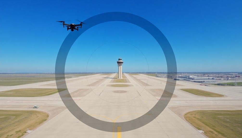
Understanding airport zones is essential for aerial photographers. You'll need to familiarize yourself with the different areas surrounding airports to guarantee you're operating legally and safely. Airports have several key zones, including the runway protection zone, approach zone, and controlled airspace.
The runway protection zone is the area immediately beyond the runway's end, where aircraft are most vulnerable during takeoff and landing. You're strictly prohibited from flying drones or operating any aerial photography equipment in this zone.
The approach zone extends further out from the runway and has height restrictions that increase with distance from the airport. You'll need to be aware of these limitations to avoid interfering with aircraft.
Controlled airspace surrounds airports and extends to various altitudes depending on the airport's classification. It's divided into different classes (A through G), each with specific rules for aircraft operations.
As an aerial photographer, you must know which class of airspace you're in and what restrictions apply. Always check aeronautical charts and consult with local authorities before planning any aerial photography near airports.
Obtain Necessary Permits
Before launching your aerial photography project near airports, you'll need to secure the proper permits.
Start by researching local regulations specific to your area, as they can vary considerably.
Contact the relevant airport authorities to inquire about the clearance process, and then submit your application for the necessary permits.
Research Local Regulations
The labyrinth of local regulations surrounding aerial photography near airports can be challenging. You'll need to dive deep into your area's specific rules to guarantee compliance.
Start by contacting your local aviation authority and city planning office. They'll provide invaluable information on zoning restrictions, no-fly zones, and height limitations near airports.
Don't forget to check with your state's aeronautics department, as they may have additional requirements. Some regions require special certifications or training for aerial photographers operating near airports.
Be prepared to demonstrate your knowledge of airspace classifications and air traffic control procedures.
As you research, you might experience:
- Frustration at the complexity of regulations
- Excitement about the potential for unique aerial shots
- Anxiety over potential legal consequences
- Pride in your commitment to safe and responsible photography
Contact Airport Authorities
Reach out to the airport authorities as your next essential step. You'll need to contact the airport's operations department or air traffic control tower to discuss your plans and obtain necessary permits. Be prepared to provide detailed information about your proposed aerial photography activities, including dates, times, locations, and equipment you'll be using.
When contacting airport authorities, you'll typically need to address the following:
| Information Required | Documentation Needed | Potential Restrictions |
|---|---|---|
| Flight dates and times | Pilot's license | Altitude limitations |
| Exact locations | Drone registration | No-fly zones |
| Equipment details | Insurance certificates | Time constraints |
| Purpose of photography | Flight plan | Weather restrictions |
After submitting your information, you may need to attend a safety briefing or undergo additional training. Airport authorities might require you to have a dedicated radio frequency for communication during your flights. They'll also inform you about any specific regulations or temporary flight restrictions in the area.
Apply for Clearance
Once you've made initial contact with airport authorities, you'll need to formally apply for clearance to conduct aerial photography near the airport. This process typically involves submitting a detailed application outlining your planned activities, equipment, and flight path.
You'll need to provide information about your drone or aircraft, including its specifications and registration details. Be prepared to explain the purpose of your aerial photography project and how you'll guarantee safety during operations.
You may need to submit proof of insurance and demonstrate your knowledge of local aviation regulations. The approval process can take several weeks, so plan accordingly.
When applying for clearance, consider the following emotional aspects:
- Excitement: The opportunity to capture unique aerial perspectives
- Responsibility: Guaranteeing the safety of aircraft and people on the ground
- Professionalism: Showcasing your commitment to following proper procedures
- Pride: Being part of a select group authorized to operate in restricted airspace
If your application is approved, you'll receive specific instructions and limitations for your aerial photography session.
Adhere strictly to these guidelines to maintain safety and avoid penalties. Remember, clearance can be revoked at any time, so stay in communication with airport authorities throughout your project.
Respect No-Fly Areas
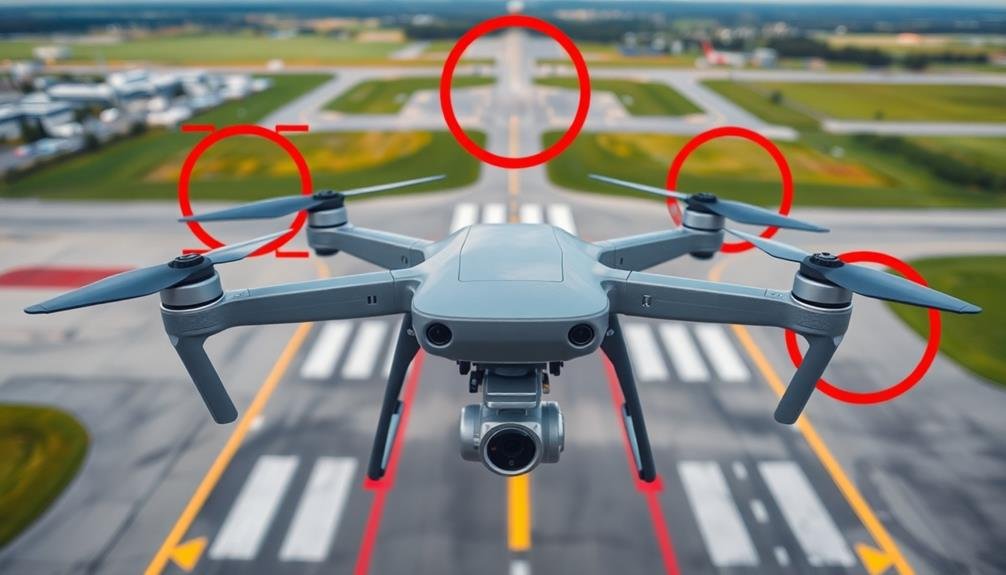
When it comes to aerial photography near airports, sticking to designated flight zones is essential. You'll need to respect no-fly areas to guarantee safety and compliance with regulations. These restricted zones are in place to protect aircraft, passengers, and ground operations.
Always consult up-to-date aeronautical charts and airport maps to identify no-fly zones. These areas typically include runways, taxiways, and approach paths.
You'll also find restricted airspace around sensitive locations like military installations or government buildings near airports.
Don't assume that just because you're outside the airport's immediate perimeter, you're free to fly. Many airports have extended no-fly zones that can stretch for miles in certain directions.
Pay attention to temporary flight restrictions (TFRs) that may be in effect due to special events or security concerns.
Maintain Visual Line of Sight
While respecting no-fly zones is paramount, it's equally important to maintain visual line of sight with your drone during aerial photography near airports. This means you must be able to see your drone at all times without the aid of binoculars or other visual enhancement devices.
Keeping your drone within sight guarantees you can quickly respond to any potential hazards or unexpected situations.
When flying near airports, you'll need to be extra vigilant. Here are some reasons why maintaining visual line of sight is essential:
- Heightened safety for both your drone and aircraft in the vicinity
- Increased ability to spot and avoid obstacles or other drones
- Better control over your drone's movements and positioning
- Improved reaction time to unexpected events or emergencies
Monitor Air Traffic Communications
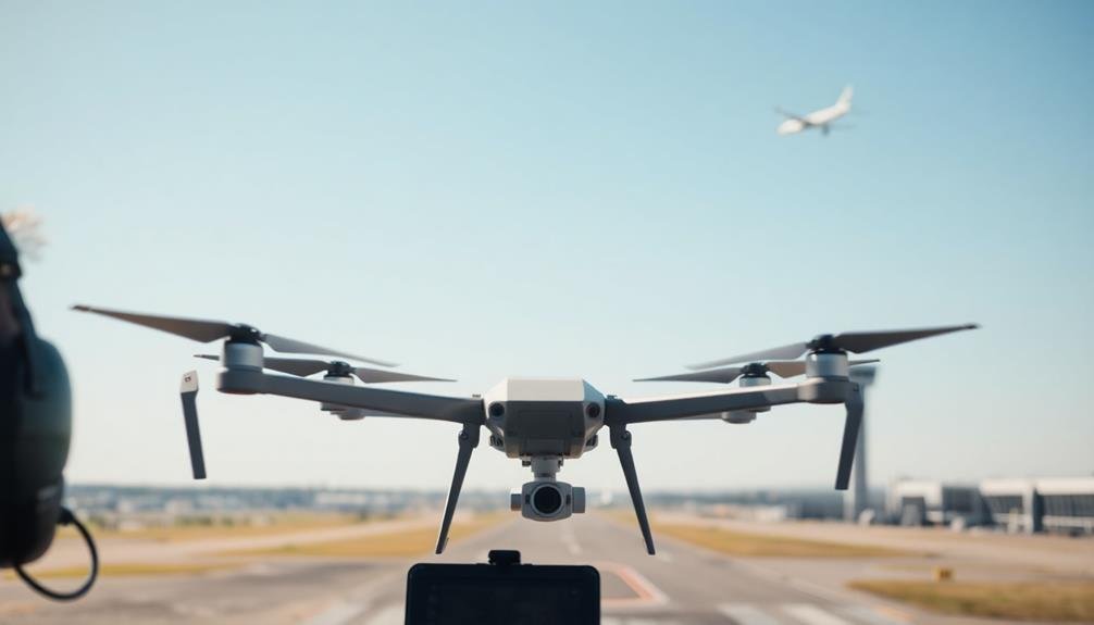
When conducting aerial photography near airports, you'll need to monitor air traffic communications closely.
Tune in to the appropriate ATC frequencies and familiarize yourself with common aviation terminology to understand ongoing conversations.
Listen to ATC Frequencies
Tuning in to Air Traffic Control (ATC) frequencies can give you a significant edge when conducting aerial photography near airports. By listening to these communications, you'll gain real-time insights into aircraft movements, weather conditions, and potential hazards in your vicinity. This knowledge is essential for maintaining safety and complying with regulations while capturing stunning aerial shots.
To listen to ATC frequencies, you'll need an aviation radio scanner or an app that provides access to these channels. Familiarize yourself with the specific frequencies used by nearby airports and air traffic control centers. Pay close attention to instructions given to pilots, runway information, and any alerts or warnings issued.
Listening to ATC communications can:
- Enhance your situational awareness
- Help you anticipate potential conflicts with other aircraft
- Provide early warning of changing weather conditions
- Give you a sense of professional connection to the aviation community
Understand Aviation Terminology
Ever wondered why pilots and air traffic controllers seem to speak their own language? That's because they do! Understanding aviation terminology is essential when you're operating drones near airports.
You'll need to familiarize yourself with common phrases and abbreviations used in air traffic communications. Learn key terms like "runway," "taxiway," and "apron." Understand what "cleared for takeoff" and "holding short" mean. Familiarize yourself with airport names and their associated codes. For example, LAX is Los Angeles International Airport.
Numbers are often spoken differently in aviation. "Three" becomes "tree," and "five" is "fife" to avoid confusion. Altitudes are given in feet, while distances are in nautical miles.
Pay attention to the phonetic alphabet: Alpha, Bravo, Charlie, etc. This system helps avoid misunderstandings when spelling out words or identifying waypoints.
Recognize important acronyms like IFR (Instrument Flight Rules) and VFR (Visual Flight Rules). These indicate different flight conditions and rules.
Track Aircraft Movements
Now that you're familiar with aviation lingo, it's time to put that knowledge to use. Tracking aircraft movements is essential for safe aerial photography near airports. Start by tuning into the airport's Air Traffic Control (ATC) frequency using a handheld aviation radio.
Listen carefully to communications between pilots and controllers to stay aware of incoming and outgoing flights. Pay attention to runway designations, altitudes, and headings mentioned in these conversations. This information will help you anticipate aircraft positions and adjust your photography plans accordingly.
Remember to respect no-fly zones and maintain a safe distance from active runways and flight paths.
To enhance your situational awareness:
- Use flight tracking apps to visualize aircraft positions in real-time
- Familiarize yourself with local Visual Flight Rules (VFR) corridors
- Learn to identify different aircraft types by sight and sound
- Stay alert for sudden changes in weather conditions that may affect flight patterns
Use Proper Lighting Equipment
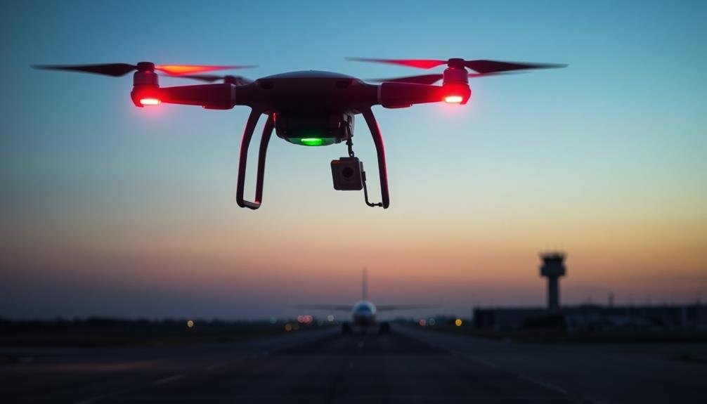
Proper lighting equipment is essential when conducting aerial photography near airport zones. You'll need to guarantee your gear doesn't interfere with aircraft operations or cause confusion for pilots. Use strobes and navigation lights that comply with aviation regulations and are visible from a distance.
When flying near airports, you must have anti-collision lights on at all times. These bright, flashing lights help other aircraft spot you easily. You should also use position lights to indicate your drone's orientation. Red lights go on the left, green on the right, and white at the rear.
Here's a quick guide to the lighting equipment you'll need:
| Light Type | Purpose | Color | Position | When to Use |
|---|---|---|---|---|
| Anti-collision | Visibility | White/Red | Top/Bottom | Always |
| Position (Left) | Orientation | Red | Left Wing | Night/Low Visibility |
| Position (Right) | Orientation | Green | Right Wing | Night/Low Visibility |
| Position (Rear) | Orientation | White | Tail | Night/Low Visibility |
| Landing | Illumination | White | Front/Bottom | As Needed |
Stay Below Altitude Limits
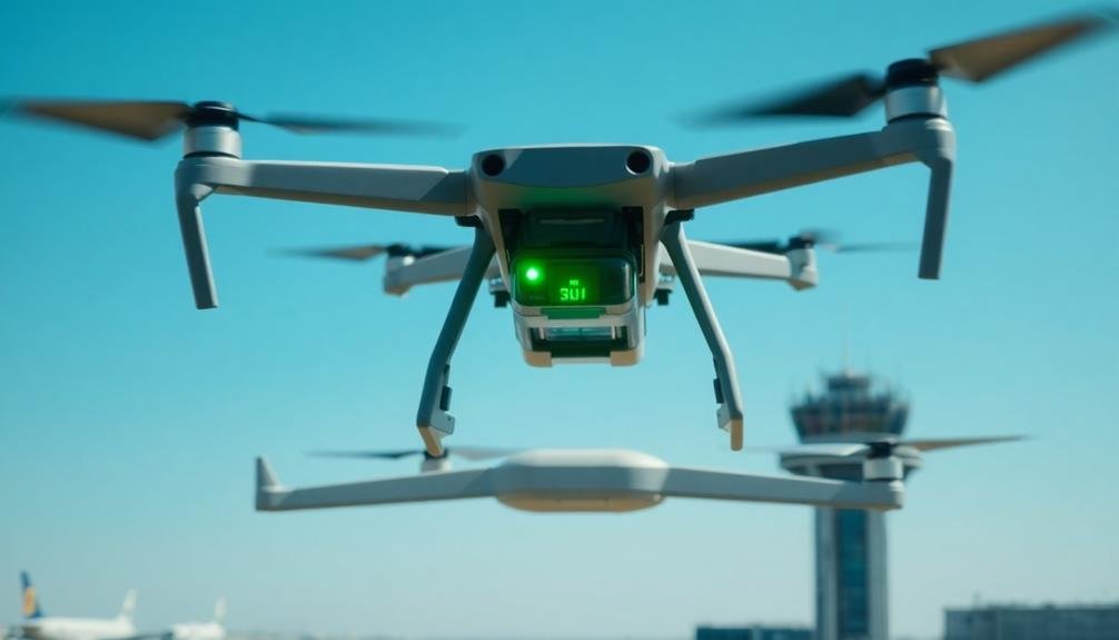
How high can you safely fly when conducting aerial photography near airports? The answer depends on your location and the specific airport's regulations.
Generally, you'll need to stay below 400 feet above ground level (AGL) in controlled airspace near airports. However, this limit may be lower in certain areas, especially those closer to runways or flight paths.
To guarantee you're complying with altitude restrictions:
- Check local regulations and airport-specific rules before your flight
- Use a reliable airspace map or app to identify no-fly zones and altitude limits
- Invest in a drone with built-in altitude restrictions or geofencing capabilities
- Always err on the side of caution when uncertain about height limitations
Avoid Interference With Aircraft
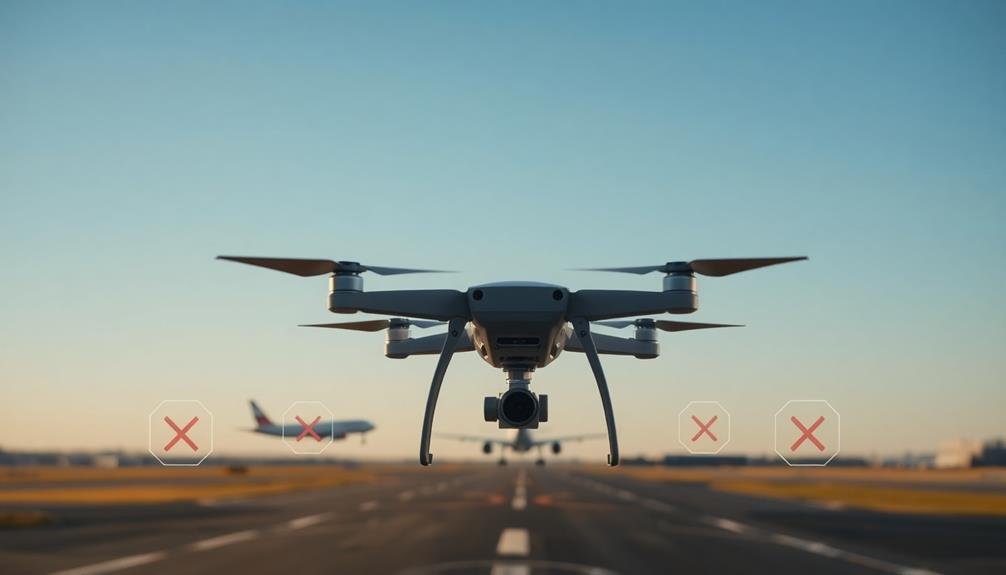
Safety is paramount when flying drones near airports. You must take every precaution to avoid interfering with aircraft operations. Always yield the right of way to manned aircraft, including helicopters and small planes. If you spot an aircraft approaching, immediately lower your drone's altitude and move it away from the flight path.
Keep your drone within visual line of sight at all times. This allows you to quickly spot any incoming aircraft and take evasive action. Don't fly your drone in clouds, fog, or other conditions that limit visibility. Be aware of common flight paths around airports and avoid these areas entirely if possible.
Never fly your drone near airport runways, taxiways, or approach/departure paths. These are critical zones where aircraft are most vulnerable. If you're operating near a control tower, monitor the appropriate radio frequency for air traffic communications. This can help you anticipate aircraft movements and adjust your operations accordingly.
Remember that your drone may not be visible to pilots, especially at higher altitudes. By staying alert, following regulations, and using common sense, you'll help guarantee the safety of all aircraft in the area.
Follow Time Restrictions
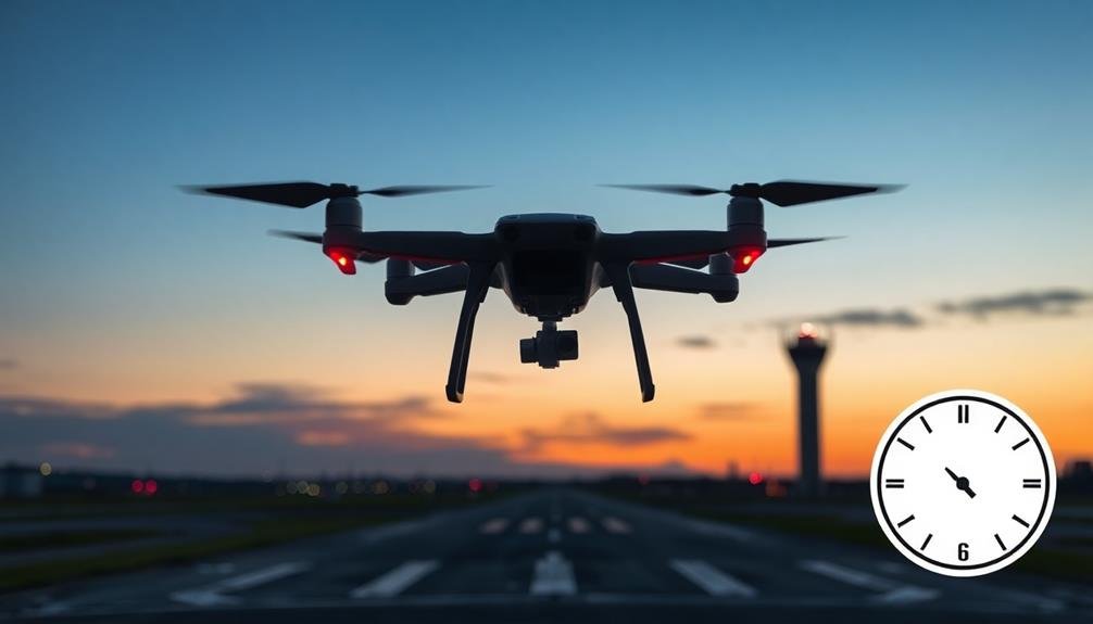
To safely conduct aerial photography near airports, you'll need to understand the facility's operating hours.
Check Notices to Airmen (NOTAMs) for any temporary closures or restrictions that might affect your plans.
If you're considering night flights, be aware of special regulations and visibility requirements that apply after dark.
Understand Airport Operating Hours
Understanding airport operating hours is vital for aerial photographers working near airport zones. You'll need to research and familiarize yourself with the specific operating hours of nearby airports before planning your shoot.
Most airports have different levels of activity throughout the day, with peak hours typically coinciding with commercial flight schedules. During off-peak hours, you may have more flexibility for aerial photography, but it's important to remain vigilant and adhere to all regulations.
Some airports operate 24/7, while others have designated night curfews or reduced operations during certain times. Be aware that operating hours can change seasonally or due to special events.
To guarantee compliance and safety:
- Check the airport's official website or contact air traffic control for accurate, up-to-date information
- Plan your shoot during periods of lower air traffic to minimize potential conflicts
- Stay informed about any temporary flight restrictions or changes in operating hours
- Respect noise abatement procedures, which may limit operations during early morning or late night hours
Check NOTAMS for Closures
Before commencing your aerial photography mission near airport zones, it is vital to check NOTAMs (Notices to Air Missions) for any temporary closures or restrictions. These official notifications provide significant information about potential hazards, airspace limitations, or changes in airport operations that could affect your planned flight.
You can access NOTAMs through various sources, including the FAA's official website, aviation apps, or by contacting your local Flight Service Station. Pay close attention to any time-specific restrictions, runway closures, or special events that might impact your photography plans.
| NOTAM Type | Description | Impact on Aerial Photography |
|---|---|---|
| Airspace | Temporary flight restrictions | May prohibit flights in certain areas |
| Runway | Closures or maintenance | Could affect takeoff/landing options |
| Navigation | GPS outages or interference | May impact drone positioning accuracy |
When interpreting NOTAMs, focus on those relevant to your planned flight area and time. Remember that conditions can change rapidly, so it is prudent to check for updates shortly before your mission. By staying informed about current NOTAMs, you'll guarantee compliance with regulations and maintain safety for both your drone operations and other aircraft in the vicinity.
Night Flight Considerations
Night flight considerations for aerial photography near airports require special attention to time restrictions and regulations. You'll need to be aware of specific rules governing nighttime operations, especially in controlled airspace. Familiarize yourself with the airport's operating hours and any curfews in place. Remember that some airports have noise abatement procedures that limit nighttime flights.
Before starting on a night photography mission, verify you're properly equipped and trained for night flying. You'll need to have appropriate lighting on your aircraft and be proficient in night navigation.
Consider the following emotional aspects of night aerial photography:
- The thrill of capturing stunning cityscapes illuminated against the dark sky
- The serenity of flying above a peaceful, sleeping world
- The challenge of mastering low-light photography techniques from the air
- The satisfaction of creating unique images that few others can capture
Be mindful of other aircraft in the area, as visibility is reduced at night. Use extra caution when operating near airports, and always maintain clear communication with air traffic control.
Follow all relevant regulations, including those pertaining to minimum safe altitudes and restricted areas. By adhering to these guidelines, you'll verify a safe and successful night aerial photography session near airport zones.
Plan for Emergency Landings
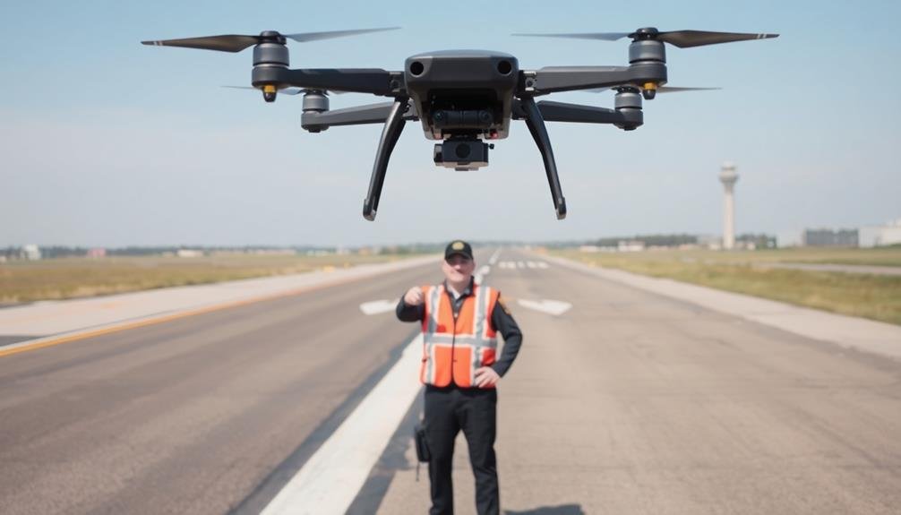
Safety is paramount when conducting aerial photography near airports. When operating in these zones, you must have a solid emergency landing plan.
First, familiarize yourself with the surrounding terrain and potential landing spots. Identify flat, open areas like fields, wide roads, or parking lots that could serve as makeshift runways.
Always keep these emergency landing sites in mind as you fly, and be prepared to reach them quickly if needed. Maintain situational awareness and know your aircraft's glide ratio to determine how far you can travel without power.
It's essential to practice emergency procedures regularly, including engine-out scenarios and rapid descents. Equip your aircraft with vital safety gear like fire extinguishers, first aid kits, and survival equipment.
Keep your radio on and know the emergency frequencies for nearby airports and air traffic control. Don't hesitate to declare an emergency if you're in trouble. Remember, it's better to be safe than sorry.
Frequently Asked Questions
Can I Use Automated Flight Paths for Aerial Photography Near Airports?
You shouldn't use automated flight paths for aerial photography near airports without proper authorization. It's risky and potentially illegal. You'll need to check local regulations and obtain necessary permits before attempting any drone flights in these areas.
What Type of Insurance Is Required for Airport Zone Drone Operations?
You'll need liability insurance for airport zone drone operations. It's crucial to cover potential damages or injuries. Check with your local aviation authority for specific requirements, as they may vary by location and operation type.
How Do Weather Conditions Affect Aerial Photography Permissions Near Airports?
Weather conditions greatly impact your aerial photography permissions near airports. You'll face stricter restrictions during low visibility, high winds, or storms. Always check current weather reports and adjust your plans accordingly to guarantee safe operations.
Are There Specific Drone Models Recommended for Airport Zone Photography?
You'll find that no specific drone models are universally recommended for airport zone photography. It's more important to choose a drone that meets regulatory requirements, has reliable controls, and includes safety features like geofencing and return-to-home functionality.
Can I Sell or Publish Photos Taken Within Airport Zones Without Additional Clearance?
You shouldn't sell or publish photos taken within airport zones without additional clearance. It's essential to obtain proper permissions from airport authorities and follow local regulations to avoid legal issues and potential safety concerns.
In Summary
You've now got the essential rules for aerial photography near airports. Remember, safety is paramount. Always stay informed, prepared, and respectful of regulations. It's your responsibility to fly responsibly and avoid interfering with aircraft operations. By following these guidelines, you'll capture stunning aerial shots while maintaining a secure environment for everyone in the airspace. Keep learning, stay vigilant, and enjoy your aerial photography adventures within the bounds of safety and legality.

As educators and advocates for responsible drone use, we’re committed to sharing our knowledge and expertise with aspiring aerial photographers.


Leave a Reply