
Monitoring forest canopies from above gives you a thorough view of ecosystem health and changes. You'll detect early signs of stress, disease, or infestation that aren't visible from the ground. Aerial surveys help assess species diversity, map wildlife habitats, and estimate carbon storage. You can evaluate fire risks, track deforestation, and observe seasonal changes efficiently. Using technologies like multispectral imaging and LiDAR, you'll gather data on large areas without accessing difficult terrain. This approach is cost-effective and provides essential insights for forest management and conservation efforts. Exploring these aerial monitoring techniques can reveal even more benefits for preserving our significant forest ecosystems.
Aerial Perspective Advantages
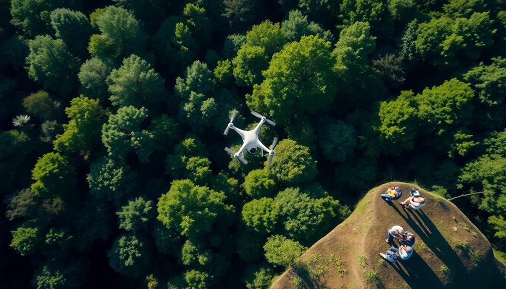
Numerous advantages come with monitoring forest canopies from an aerial perspective. You'll gain a thorough view of the forest ecosystem that's impossible to achieve from the ground. From above, you can quickly evaluate large areas, identifying patterns and changes in vegetation that might be missed at eye level.
You'll be able to spot signs of deforestation, disease outbreaks, or insect infestations more easily. This bird's-eye view allows you to track the spread of these issues over time and across wide regions. You can also monitor the health and diversity of tree species, observing how different species interact and compete for resources.
Aerial monitoring enables you to map forest boundaries accurately and detect encroachment or illegal logging activities. You'll have a better understanding of forest structure, including canopy height, density, and gaps. This information is essential for evaluating habitat quality for wildlife and studying carbon sequestration potential.
Moreover, you can use aerial perspectives to plan conservation efforts more effectively, identify areas for reforestation, and evaluate the success of restoration projects. It's an efficient way to gather data on forest dynamics and ecosystem health.
Canopy Health Assessment
Evaluating the health of forest canopies from up above provides essential insights into overall ecosystem importance. You'll be able to detect early signs of stress, disease, or infestation that mightn't be visible from the ground. By using aerial or satellite imagery, you can assess large areas quickly and efficiently, identifying patterns and changes in canopy structure and color.
When you monitor forest canopies from above, you'll gain valuable information about:
- The extent of defoliation caused by pests or diseases
- Changes in tree species composition over time
- The impact of climate change on forest health and resilience
You can use various tools and techniques to assess canopy health, including multispectral imaging, LiDAR, and thermal sensors. These technologies allow you to measure factors like leaf area index, chlorophyll content, and canopy temperature.
By analyzing this data, you'll be able to identify areas of concern and prioritize management efforts. Regular monitoring helps you track long-term trends and detect subtle changes that might indicate emerging threats.
This information is pivotal for developing effective conservation strategies and maintaining the overall health of forest ecosystems.
Species Diversity Mapping

You'll find that species diversity mapping is essential for forest management.
By identifying rare tree species, you can prioritize conservation efforts and protect vulnerable populations.
Evaluating ecosystem health through diversity mapping helps you understand the forest's resilience and adapt management strategies accordingly.
Identifying Rare Tree Species
In recent years, identifying rare tree species has become a crucial aspect of forest canopy monitoring. You'll find that aerial surveys and remote sensing technologies have revolutionized this process, allowing researchers to spot unique tree species that might otherwise go unnoticed from the ground.
By using high-resolution imagery and spectral analysis, you can detect subtle differences in leaf structure, bark patterns, and crown shapes that distinguish rare species from their more common counterparts.
When you're searching for rare tree species from above, you'll want to look for:
- Unusual leaf colorations or patterns that stand out against the surrounding foliage
- Distinctive crown shapes or branching structures that differ from neighboring trees
- Unique flowering or fruiting patterns visible during specific seasons
Assessing Ecosystem Health
Numerous forest managers and ecologists rely on species diversity mapping to assess ecosystem health from above. You'll find this technique invaluable for gauging the overall well-being of forest ecosystems. By analyzing canopy diversity, you're able to identify areas of high biodiversity and potential ecological hotspots.
When you're mapping species diversity, you'll use remote sensing technologies like LiDAR and multispectral imaging. These tools allow you to create detailed maps of canopy structure and composition. You'll then use this data to assess factors like species richness, evenness, and distribution patterns.
Here's a breakdown of key indicators you'll monitor:
| Indicator | Description | Importance | Measurement Method |
|---|---|---|---|
| Species Richness | Number of different species | Indicates biodiversity | Spectral analysis |
| Canopy Structure | Vertical layering of vegetation | Reflects habitat complexity | LiDAR scanning |
| Leaf Area Index | Total leaf area per ground area | Measures productivity | Optical sensors |
| Phenology | Seasonal changes in vegetation | Indicates climate impacts | Time-series imagery |
Carbon Storage Estimation
You'll find that estimating carbon storage in forest canopies involves essential biomass calculation techniques.
These methods allow you to assess carbon sequestration rates, providing valuable insights into forests' role in mitigating climate change.
Biomass Calculation Techniques
Accuracy in biomass calculation techniques is essential for estimating carbon storage in forest canopies. You'll find that these methods have evolved considerably, incorporating advanced technologies and scientific understanding. Remote sensing plays a significant role, allowing you to gather data without disturbing the ecosystem.
Lidar technology has revolutionized biomass estimation. It uses laser pulses to create detailed 3D models of forest structures, giving you precise measurements of tree height, density, and canopy cover.
You'll also find that multispectral and hyperspectral imaging provide valuable information about vegetation health and composition, enhancing your biomass calculations.
Allometric equations are another critical tool in your arsenal. These mathematical models relate easily measurable tree characteristics to biomass, helping you estimate carbon content more accurately. You'll need to choose equations specific to the forest type and region you're studying for the best results.
To visualize the process, imagine:
- Laser beams penetrating the canopy, revealing hidden structures
- Colorful spectral images highlighting different tree species and health conditions
- Complex equations transforming simple measurements into valuable carbon data
Carbon Sequestration Assessment
Building on these biomass calculation techniques, carbon sequestration assessment takes your forest monitoring to the next level.
It's essential for understanding a forest's role in climate change mitigation. You'll need to estimate the amount of carbon stored in trees, understory vegetation, and soil.
To assess carbon sequestration, you'll use allometric equations that relate tree measurements to carbon content. These equations vary by species and region, so choose the most appropriate ones for your forest.
You'll also need to account for carbon in dead wood, litter, and soil organic matter.
Remote sensing technologies like LiDAR and hyperspectral imaging can help you estimate carbon stocks across large areas. These tools provide data on canopy structure and vegetation density, which you can use to refine your carbon estimates.
Don't forget to take into account the dynamic nature of carbon sequestration.
You'll need to monitor changes over time, accounting for growth, mortality, and disturbances. This temporal aspect is essential for understanding a forest's long-term carbon storage potential and its effectiveness in mitigating climate change.
Climate Change Impact
Climate change's impact on forest carbon storage is a significant area of study. As temperatures rise and weather patterns shift, you'll need to understand how these changes affect forests' ability to sequester carbon. Monitoring forest canopies from above provides essential insights into this dynamic process.
By observing canopy structure and density over time, you can track changes in carbon storage capacity. You'll notice how different tree species respond to climate stress, potentially altering the forest's overall carbon sequestration potential. This information helps predict future carbon storage trends and informs conservation strategies.
Aerial monitoring also reveals:
- Patches of dying trees, indicating areas vulnerable to climate change
- Shifts in species composition as heat-tolerant trees replace others
- Changes in canopy density, reflecting alterations in carbon storage capacity
You'll gain a thorough view of how climate change impacts forest health and carbon storage. This data is invaluable for developing adaptive management plans and policies to mitigate climate change effects.
Fire Risk Evaluation
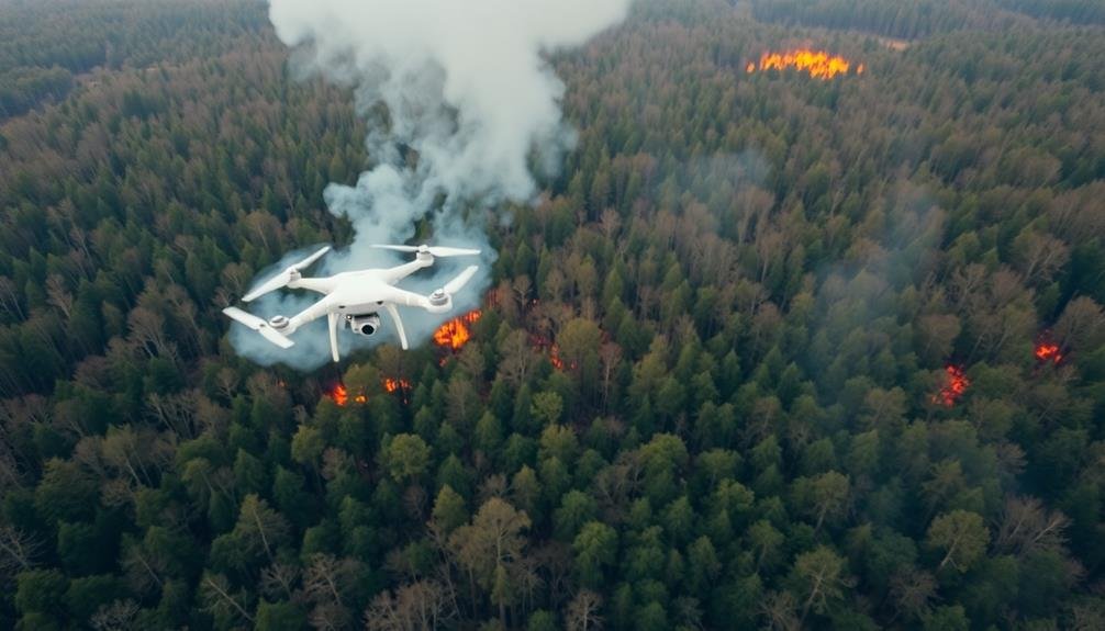
Evaluating fire risk in forest canopies is essential for effective wildfire management. By monitoring from above, you'll gain vital insights into potential fire hazards and vulnerabilities. Aerial surveys and satellite imagery allow you to assess the canopy's density, moisture content, and overall health, which are key factors in determining fire susceptibility.
You'll be able to identify areas with dry, stressed vegetation that's more prone to ignition and rapid fire spread. This information helps you prioritize fire prevention efforts and allocate resources more efficiently. Additionally, you can detect early signs of pest infestations or disease outbreaks that may increase fire risk by weakening trees and creating more fuel.
Here's a table summarizing the key aspects of fire risk evaluation in forest canopies:
| Factor | Importance | Monitoring Method |
|---|---|---|
| Canopy Density | High | LiDAR, Aerial Imagery |
| Moisture Content | Critical | Multispectral Imaging |
| Tree Health | Significant | Hyperspectral Imaging |
| Fuel Load | High | LiDAR, Field Surveys |
| Historical Fire Data | Moderate | GIS Analysis |
Deforestation Detection
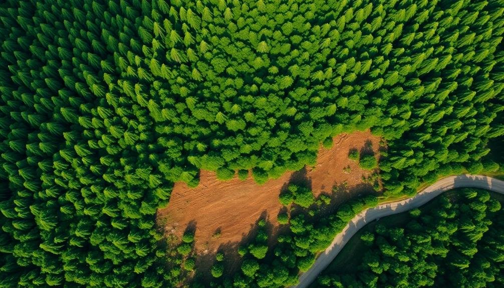
Monitoring forest canopies isn't just about fire risk; it's also a powerful tool for detecting deforestation. By keeping a watchful eye on the treetops, you can spot changes in forest cover that might otherwise go unnoticed. Satellite imagery and aerial surveys provide a bird's-eye view of vast areas, allowing you to identify patches of cleared land or thinning canopies quickly and efficiently.
You'll be able to detect:
- Large-scale clear-cutting operations that leave gaping holes in the forest
- Gradual degradation from selective logging, visible as a patchwork of thinning canopy
- Encroachment of agricultural land or urban development into forested areas
This early detection system enables you to respond swiftly to illegal logging activities or monitor the progress of reforestation efforts.
By comparing current images with historical data, you can track changes over time and identify trends in forest loss or recovery. This information is essential for policymakers, conservationists, and land managers who need accurate, up-to-date data to make informed decisions about forest protection and sustainable resource management.
Ultimately, monitoring forest canopies for deforestation helps safeguard these significant ecosystems and the biodiversity they support.
Seasonal Changes Tracking

How do forests transform throughout the year? By monitoring forest canopies from above, you'll witness the dynamic seasonal changes that shape these ecosystems.
You'll observe the vibrant green burst of new leaves in spring, followed by the lush, full canopies of summer. As autumn approaches, you'll see the gradual shift to warm hues of red, orange, and yellow before the trees shed their leaves for winter.
These seasonal changes aren't just visually striking; they're essential indicators of forest health and climate patterns.
You can track the timing of leaf emergence, peak greenness, and leaf fall, a process known as phenology. This data helps you understand how forests respond to climate variations and long-term trends.
Wildlife Habitat Monitoring
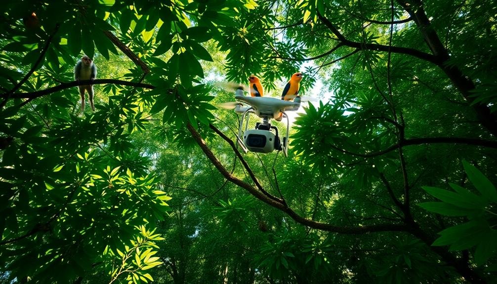
Forest canopies aren't just a showcase of seasonal beauty; they're also bustling ecosystems teeming with wildlife. By monitoring these canopies from above, you'll gain invaluable insights into the habitats of countless species. Aerial surveillance allows you to track animal movements, nesting sites, and population dynamics without disturbing the natural environment.
You'll be able to identify key areas of biodiversity and assess the health of various species. This information is essential for conservation efforts and wildlife management strategies. By observing changes in canopy structure, you can detect early signs of habitat degradation or loss, enabling swift intervention to protect endangered species.
Aerial monitoring also helps you:
- Spot elusive creatures rarely seen from the ground
- Map complex network of tree-top corridors used by arboreal species
- Identify vital feeding areas for canopy-dwelling animals
With this bird's-eye view, you'll better understand the intricate relationships between different species and their environment. You can assess the impact of human activities on wildlife habitats and make informed decisions about forest management and conservation.
This all-encompassing approach to wildlife habitat monitoring guarantees a more holistic understanding of forest ecosystems and their inhabitants.
Cost-Effective Data Collection
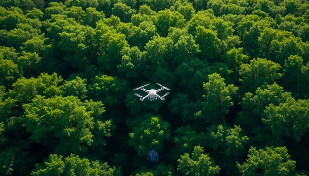
When it comes to gathering data on forest canopies, cost-effectiveness is key. You'll find that monitoring from above offers significant advantages in this regard. By using aerial or satellite imagery, you can cover vast forest areas quickly and efficiently, reducing the need for time-consuming ground surveys.
You'll save on labor costs as fewer personnel are required to collect and analyze data from aerial sources. Remote sensing technologies allow you to gather information on canopy structure, density, and health without physically accessing challenging terrain. This approach minimizes safety risks and equipment wear.
You can also collect data more frequently, as aerial surveys can be conducted regularly without disrupting the forest ecosystem. This frequent monitoring helps you detect changes quickly and respond to issues promptly.
Frequently Asked Questions
How Do Researchers Safely Access Forest Canopies for Ground-Truthing Aerial Data?
You'll find researchers using various methods to access forest canopies safely. They'll employ climbing techniques, cranes, canopy walkways, and even hot air balloons. These approaches allow them to verify aerial data through hands-on observations and measurements.
What Are the Legal Considerations for Drone Use in Forest Monitoring?
You'll need to check local regulations for drone use in forests. Consider airspace restrictions, privacy laws, and permits. Don't fly over protected areas without permission. Always follow FAA guidelines and respect wildlife when operating drones.
How Accurate Are Canopy Monitoring Technologies Compared to Traditional Ground Surveys?
You'll find canopy monitoring technologies are often more accurate than ground surveys. They provide thorough, high-resolution data on large areas quickly. However, they can't capture some details that ground surveys excel at, like understory vegetation.
Can Canopy Monitoring Detect Early Signs of Invasive Species Infestations?
Yes, you can detect early signs of invasive species with canopy monitoring. It'll spot changes in color, texture, and structure before they're visible from the ground. You'll catch infestations sooner, allowing for quicker intervention and control.
What Role Does Artificial Intelligence Play in Analyzing Forest Canopy Data?
AI plays an essential role in analyzing forest canopy data. You'll find it's used for image recognition, pattern detection, and predictive modeling. It can process vast amounts of data quickly, identifying trends and anomalies humans might miss.
In Summary
You've seen how monitoring forest canopies from above offers unparalleled insights. It's a game-changer for evaluating ecosystem health, tracking biodiversity, and managing resources. By embracing aerial monitoring, you'll gain an all-encompassing view of forest dynamics, from carbon storage to fire risks. This bird's-eye perspective isn't just efficient; it's essential for making informed decisions about conservation and sustainable forest management. Don't overlook this powerful tool in your environmental toolkit.
As educators and advocates for responsible drone use, we’re committed to sharing our knowledge and expertise with aspiring aerial photographers.


Leave a Reply