
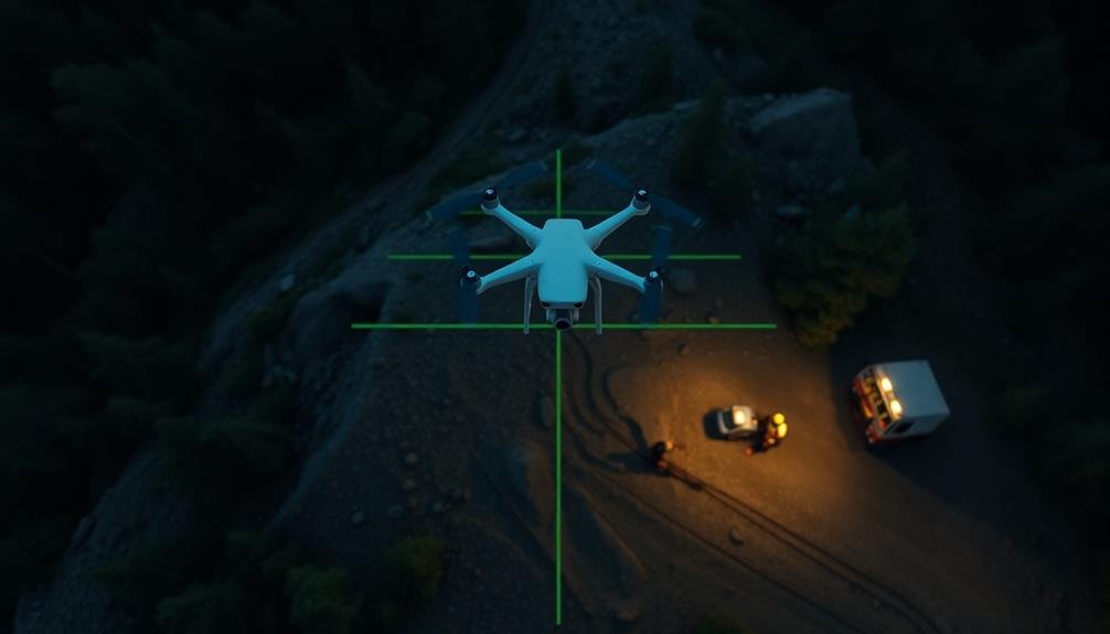
GPS-guided drone patterns have transformed search and rescue missions, offering efficient ways to cover vast areas rapidly. You'll find the expanding square pattern ideal for systematic coverage, while parallel track search mimics lawn-mowing for thorough scanning. The creeping line pattern works well for rectangular areas, and the sector search method excels in circular zones. For varied terrain, consider the contour search technique, which follows landscape features. Point-based strategies target specific locations of interest, and the grid pattern approach divides areas into manageable sections. These seven patterns provide an extensive toolkit for SAR operations, each with unique advantages for different scenarios.
Expanding Square Pattern

With an expanding square pattern, you'll start at the last known position of the search target and systematically cover an ever-widening area. This pattern is ideal for situations where you're confident about the target's last location but unsure of their movement direction.
To execute this pattern, program your drone to fly in a square shape, increasing the size with each completed loop. Begin with a small square, typically 1-2 km per side, depending on your drone's capabilities and terrain. After completing the first square, expand outward by a predetermined distance, usually 0.5-1 km.
As you continue, the drone will cover larger areas in a spiral-like fashion. This method guarantees thorough coverage of the immediate vicinity before moving outward. It's particularly effective in open terrain or when searching for stationary targets.
Remember to adjust your altitude based on obstacles and terrain features. You'll want to maintain a consistent height that allows for clear imaging while avoiding potential hazards.
Keep an eye on your drone's battery life, as this pattern can be time-consuming for larger search areas.
Parallel Track Search
You'll find the parallel track search pattern highly effective for efficient area coverage in SAR missions.
This method allows you to systematically sweep across a designated search area, ensuring thorough coverage while minimizing missed spots.
You can easily adapt this pattern to various terrain types, adjusting the track spacing and direction based on the landscape and search objectives.
Efficient Area Coverage
One of the most effective GPS-guided drone patterns for SAR missions is the Parallel Track Search, also known as the Lawnmower Pattern. This method guarantees efficient area coverage by systematically scanning the search area in parallel lines.
You'll program your drone to fly back and forth in straight, evenly spaced tracks, similar to how you'd mow a lawn.
To implement this pattern, you'll need to ascertain the appropriate track spacing based on your drone's capabilities and the terrain. Factors to take into account include the drone's altitude, camera field of view, and the size of objects you're searching for.
Narrower track spacing increases the likelihood of detection but requires more time and battery power.
You can enhance the efficiency of your Parallel Track Search by adjusting the pattern based on terrain features or intelligence about the missing person's last known location. For example, you might prioritize areas near water sources or hiking trails.
Additionally, you'll want to guarantee your drone maintains a consistent altitude throughout the search to avoid gaps in coverage.
Adaptable to Terrain
The Parallel Track Search pattern can be adapted to various terrains, making it versatile for different SAR scenarios. You'll find this pattern particularly useful when searching areas with diverse landscapes, from flat plains to hilly regions.
To adapt the pattern, you'll need to adjust the track spacing and altitude based on the terrain's characteristics. In mountainous areas, you'll want to fly at a higher altitude to maintain a safe distance from peaks and ridges. You can also modify the pattern to follow contour lines, ensuring thorough coverage of slopes and valleys.
For densely forested regions, you'll need to reduce the track spacing to account for limited visibility through the canopy. In urban environments, you'll adapt the pattern to navigate around buildings and infrastructure. You might need to fly at varying altitudes to inspect different levels of structures.
For coastal searches, you'll adjust the pattern to account for tidal changes and shoreline variations. By tailoring the Parallel Track Search to specific terrains, you'll maximize the effectiveness of your SAR drone operations and increase the chances of locating missing persons or objects.
Creeping Line Pattern

A methodical approach to search and rescue, the Creeping Line Pattern is highly effective for covering large, rectangular areas. You'll find this pattern particularly useful when searching open fields, beaches, or long stretches of terrain with consistent features. The drone flies in parallel lines, moving back and forth across the search area, ensuring thorough coverage.
To implement the Creeping Line Pattern effectively:
- Set your drone's altitude based on the terrain and desired level of detail
- Determine the appropriate line spacing to balance coverage and efficiency
- Program your GPS waypoints to create evenly spaced, parallel flight paths
You'll want to take into account wind direction when planning your search. It's often best to fly perpendicular to the wind, allowing for more stable flight and consistent imagery.
As you execute this pattern, you're systematically eliminating areas, making it easier to track progress and avoid missing potential clues.
The Creeping Line Pattern's strength lies in its simplicity and thoroughness. You can easily adjust the pattern's width and length to fit your specific search area, making it adaptable to various scenarios.
Sector Search Method

Often employed in circular or irregularly shaped search areas, the Sector Search Method divides the target zone into pie-shaped segments. You'll find this pattern particularly useful when you have a specific point of interest, like a last known position or a distress signal origin.
To execute this method, you'll position your drone at the center of the search area. From there, you'll fly it outward along one of the sector's radial lines, then turn and fly along the arc at the sector's outer edge. Next, you'll guide the drone back to the center along the other radial line. You'll repeat this process for each sector, typically covering three to six sectors in total.
The Sector Search Method offers several advantages. It provides intense coverage near the center point, where the probability of finding the target is often highest. You can easily adjust the size of sectors based on visibility conditions or search urgency.
It's also flexible, allowing you to expand the search area by increasing the radius if needed. However, be aware that coverage becomes less thorough as you move farther from the center point.
Contour Search Technique
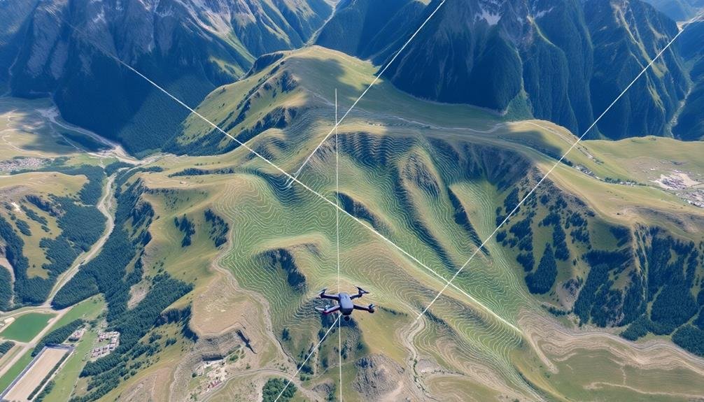
You'll find the Contour Search Technique particularly effective for SAR missions in varied terrain.
By adapting your drone's flight path to follow the contours of the landscape, you're able to maintain a consistent height above ground level.
This approach optimizes coverage based on elevation changes, ensuring thorough scanning of hills, valleys, and other topographical features.
Terrain-Adaptive Flight Paths
The Contour Search Technique revolutionizes terrain-adaptive flight paths for SAR drones. This method allows your drone to efficiently navigate complex landscapes, ensuring thorough coverage while adapting to topographical challenges. By following the natural contours of the terrain, you'll maximize search effectiveness and minimize the risk of missing critical areas.
When implementing terrain-adaptive flight paths, you'll need to take into account:
- Elevation data: Integrate accurate digital elevation models into your flight planning software
- Obstacle avoidance: Equip your drone with sensors to detect and navigate around unexpected obstacles
- Battery management: Enhance flight patterns to conserve power in challenging terrains
You'll find that this approach greatly improves your SAR mission outcomes. By adapting to the landscape, you're able to maintain consistent altitude above ground level, ensuring ideal camera and sensor performance.
This technique is particularly useful in mountainous regions, forests, and areas with varied topography.
Remember to adjust your flight parameters based on the specific terrain you're searching. You might need to modify speed, altitude, and search pattern density depending on the complexity of the landscape.
With terrain-adaptive flight paths, you'll enhance your drone's capabilities and increase the chances of a successful SAR mission.
Elevation-Based Coverage Optimization
Elevation-Based Coverage Optimization, also known as the Contour Search Technique, takes terrain-adaptive flight paths to the next level. This method uses topographical data to guide your drone along elevation contours, ensuring thorough coverage of complex terrains.
You'll program your drone to follow specific elevation lines, systematically searching each level of the landscape. This approach is particularly effective in mountainous or hilly areas where traditional grid patterns may miss critical areas. By flying parallel to elevation contours, you'll maintain a consistent altitude relative to the ground, optimizing sensor performance and battery life.
To implement this technique, you'll need high-resolution digital elevation models (DEMs) of your search area. Load these into your drone's flight planning software to generate optimized flight paths. You can adjust the vertical spacing between contours based on your sensor capabilities and the terrain's complexity.
Remember to take into account vegetation density and potential obstacles when planning your elevation-based search. In densely forested areas, you may need to increase the altitude slightly to maintain a clear line of sight.
Always prioritize safety and adhere to local regulations when employing this advanced search pattern.
Point-Based Search Strategy

When implementing a point-based search strategy for SAR missions, GPS-guided drones offer unparalleled precision and efficiency. You'll find this approach particularly useful when you have specific locations of interest or potential evidence to investigate. By programming your drone with exact coordinates, you can guarantee thorough coverage of critical areas without wasting time on less relevant terrain.
To maximize the effectiveness of your point-based search:
- Use a grid system to divide your search area into manageable sections
- Prioritize points based on likelihood of target presence or importance of evidence
- Incorporate real-time data updates to adjust search patterns as new information emerges
As you execute your point-based strategy, remember to take into account environmental factors that might affect your drone's performance. Wind conditions, obstacles, and battery life can all impact your search effectiveness.
You'll want to plan your flight paths to minimize travel time between points while guaranteeing extensive coverage. By combining GPS precision with strategic point selection, you'll greatly increase your chances of a successful SAR mission.
Don't forget to integrate your point-based approach with other search patterns for a well-rounded operation.
Grid Pattern Approach

Grid pattern approaches offer a systematic and detailed method for covering large search areas. When you're conducting a search and rescue (SAR) mission using drones, this pattern guarantees you don't miss any vital spots.
To implement a grid pattern, you'll divide the search area into equal-sized squares or rectangles, creating a grid-like structure. You'll program your drone to fly in straight lines, covering each grid cell systematically.
Start at one corner of the search area and move methodically across the grid. As you progress, the drone will capture images or video footage of each cell, allowing for thorough coverage.
The grid pattern's effectiveness lies in its consistency and repeatability. You can adjust the grid size based on the terrain, visibility conditions, and the size of the object you're searching for. Smaller grid cells provide more detailed coverage but require more time and battery power.
When using this approach, consider factors like wind direction and obstacles. You may need to modify the pattern slightly to account for these elements.
Additionally, verify your drone's GPS guidance system is accurately calibrated to maintain precise positioning throughout the search.
Frequently Asked Questions
How Does Weather Affect Gps-Guided Drone Patterns in SAR Missions?
Weather greatly impacts your GPS-guided drone patterns in SAR missions. You'll face reduced visibility in fog or rain, wind affecting flight stability, and extreme temperatures limiting battery life. Always check conditions before launching to guarantee mission success.
What Are the Battery Life Considerations for Different Search Patterns?
You'll need to contemplate battery life for different search patterns. Spiral patterns consume more power due to frequent turns. Grid patterns are more efficient. You should plan your mission duration and have spare batteries ready.
Can Multiple Drones Be Coordinated for More Efficient Search Patterns?
You can coordinate multiple drones for more efficient searches. They'll cover larger areas faster, reduce overlap, and provide different perspectives. You'll need a central control system and collision avoidance protocols to manage the swarm effectively.
How Do Terrain Features Impact the Choice of Gps-Guided Search Patterns?
You'll need to adapt your search patterns based on terrain. Hills, forests, and water bodies affect GPS signals and visibility. You should adjust flight paths and altitudes to navigate obstacles and maximize coverage in challenging landscapes.
What Software Is Commonly Used to Program Gps-Guided Drone Patterns?
You'll often use software like DroneDeploy, Pix4D, or Mission Planner to program GPS-guided drone patterns. These tools let you create flight plans, set waypoints, and customize search areas for your drone missions.
In Summary
You've now got a solid grasp of the top GPS-guided drone patterns for SAR missions. Remember, each pattern has its strengths, so choose wisely based on your specific scenario. Whether you're scanning wide areas or focusing on pinpoint locations, these techniques will boost your search efficiency. Don't hesitate to combine patterns for ideal results. With practice, you'll master these methods and enhance your ability to save lives in critical situations.
As educators and advocates for responsible drone use, we’re committed to sharing our knowledge and expertise with aspiring aerial photographers.


Leave a Reply