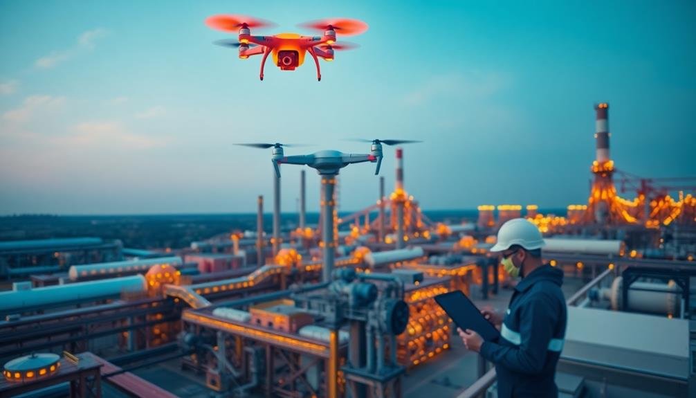
To improve your industrial drone thermal imaging inspections, follow these key tips: Choose ideal flight times for maximum temperature contrast, typically early morning or late evening. Calibrate your thermal camera settings, adjusting emissivity values for accurate readings. Establish efficient flight patterns to guarantee thorough coverage. Consider environmental factors like wind and humidity that can affect image quality. Use appropriate resolution for your specific inspection needs. Analyze data in real-time to make immediate adjustments and identify issues promptly. Always implement strict safety protocols to protect personnel and equipment. By mastering these techniques, you'll greatly enhance the effectiveness of your equipment inspections and maintenance strategies.
Key Takeaways
- Choose optimal flight times for maximum thermal contrast, typically early morning or late evening.
- Calibrate thermal camera settings, adjusting emissivity values and temperature ranges for accurate readings.
- Establish proper flight patterns and safety protocols to ensure thorough coverage and protect personnel.
- Analyze thermal data in real-time to make immediate adjustments and identify anomalies during inspections.
- Train operators thoroughly in drone piloting, thermal imaging techniques, and equipment-specific inspection procedures.
Choose Optimal Flight Time
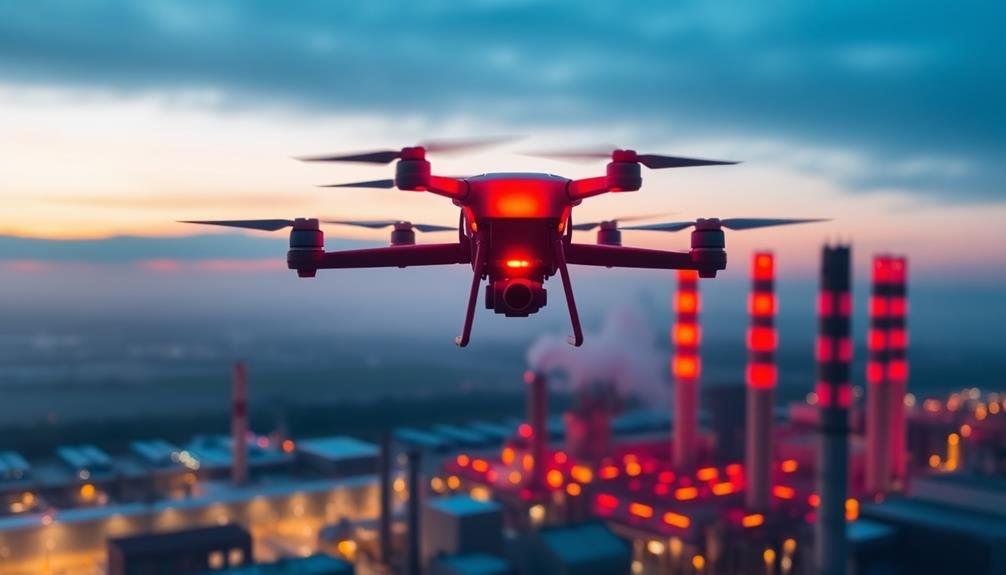
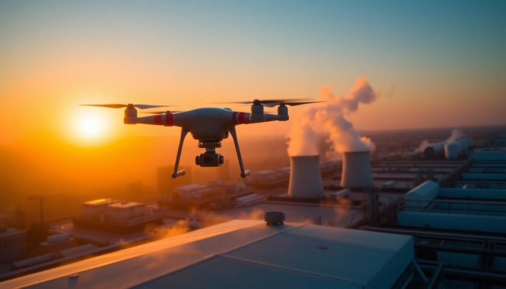
Typically, selecting the right time for your thermal imaging drone flight is vital for ideal results. To capture the most accurate thermal data, you'll want to fly when there's the greatest temperature difference between the equipment and its surroundings. This usually occurs in the early morning or late evening.
For outdoor equipment inspections, plan your flight just before sunrise or after sunset. During these times, the ambient temperature is cooler, creating a more pronounced contrast with warm machinery.
Avoid midday flights when solar radiation can interfere with readings and cause misleading hotspots.
For indoor inspections, timing is less significant, but you should still consider equipment usage patterns. Schedule your flight when the machinery has been operating long enough to reach normal operating temperatures. This guarantees you're capturing accurate thermal signatures.
Weather conditions also play an important role. Opt for days with minimal wind to guarantee stable drone flight and clear imagery.
Avoid rain or high humidity, as these can affect thermal readings. If you're inspecting reflective surfaces, choose overcast days to minimize solar reflections that could skew your results.
Calibrate Thermal Camera Settings
To guarantee accurate thermal imaging results, you'll need to calibrate your drone's thermal camera settings properly.
Start by adjusting the emissivity values to match the materials you're inspecting, as different surfaces emit heat differently.
Next, set the appropriate temperature range for your specific application, which will help you capture the most relevant thermal data for your industrial inspection needs.
Adjust Emissivity Values
One essential step in obtaining accurate thermal imaging results is adjusting the emissivity values on your industrial drone's thermal camera. Emissivity refers to a material's ability to emit thermal radiation, and it's important for interpreting temperature readings correctly. Different materials have varying emissivity values, ranging from 0 to 1.
To adjust emissivity, you'll need to know the specific materials you're inspecting. Common industrial materials like metals, concrete, and plastics have known emissivity values that you can find in reference tables. Input these values into your thermal camera's settings for each inspection target.
If you're unsure about a material's emissivity, you can use a reference emissivity tape or paint with a known value to calibrate your readings.
Remember that emissivity can change with surface conditions, temperature, and viewing angle. For highly reflective surfaces with low emissivity, consider using techniques like painting a small area or applying tape to get more accurate readings.
Set Temperature Range
When it comes to calibrating your industrial drone's thermal camera settings, setting the correct temperature range is essential for capturing clear and meaningful thermal images. This step guarantees you're focusing on the specific temperature variations relevant to your inspection.
Start by determining the expected temperature range of your target equipment. Consider the normal operating temperatures and potential anomalies you're looking for. Set your camera's minimum and maximum temperature values to bracket this range. If you're unsure, begin with a wider range and narrow it down as you gather more data.
Don't set the range too wide, as this can reduce the image's contrast and make subtle temperature differences harder to detect. Conversely, a range that's too narrow might cause important details to be lost in oversaturated areas.
Many thermal cameras offer auto-ranging features, but manual adjustment often provides better results for industrial inspections. As you fly your drone, continuously monitor the thermal feed and adjust the range if necessary. This guarantees you're capturing the most relevant thermal data throughout your inspection.
Establish Proper Flight Patterns
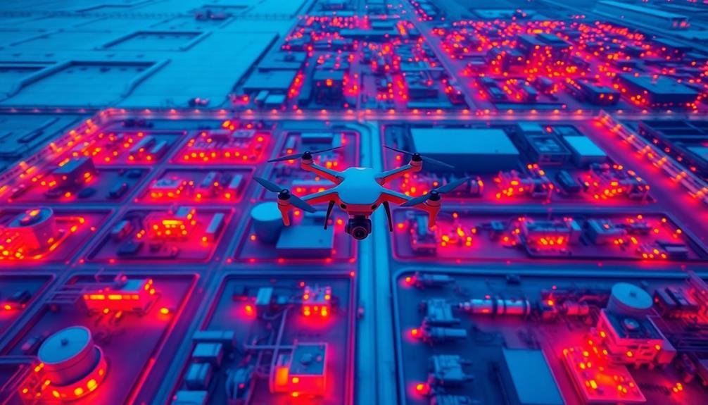
For effective thermal imaging with industrial drones, establishing proper flight patterns is essential. You'll need to plan your flight paths carefully to guarantee thorough coverage of the equipment you're inspecting.
Start by mapping out the area and identifying key inspection points. Consider factors like the size and shape of the equipment, as well as any potential obstacles or hazards.
When flying, maintain a consistent altitude and speed to capture uniform thermal data. Use a grid pattern for large, flat surfaces, flying parallel lines with slight overlaps to guarantee complete coverage.
For vertical structures, employ a spiral pattern, starting from the bottom and working your way up. This approach helps capture thermal variations at different heights.
For complex equipment, you may need to combine multiple flight patterns. Don't forget to include different angles in your inspection, as some issues may only be visible from specific viewpoints.
Always adhere to safety regulations and maintain visual line of sight with your drone. By establishing proper flight patterns, you'll maximize the efficiency and effectiveness of your thermal imaging inspections, leading to more accurate and thorough results.
Consider Environmental Factors
Environmental factors play an essential role in the accuracy and effectiveness of industrial drone thermal imaging. When planning your inspection, consider the time of day, weather conditions, and seasonal changes that can affect your results. Early morning or late evening flights often provide the best thermal contrast, as equipment has had time to cool down or heat up relative to its surroundings.
Avoid conducting inspections during rain, snow, or high winds, as these can interfere with drone operation and thermal readings. Humidity levels can also impact image quality, so aim for days with lower humidity when possible. Be aware of reflective surfaces like metal roofs or water bodies that may create false hot spots in your thermal images.
Seasonal variations can affect equipment temperatures, so establish baseline readings for different times of the year. Solar loading can cause surface temperatures to rise, potentially masking underlying issues. To mitigate this, consider using shading techniques or adjusting your flight times.
Additionally, account for differences in emissivity between materials, as this can greatly impact temperature readings. By carefully considering these environmental factors, you'll improve the accuracy and reliability of your industrial drone thermal imaging inspections.
Use Appropriate Resolution
Resolution is a key factor in capturing useful thermal images with industrial drones. When selecting a thermal camera for your drone, take into account the spatial resolution you'll need for your specific inspection tasks. Higher resolution cameras can detect smaller temperature differences and provide more detailed images, but they're often more expensive and may generate larger file sizes.
For most industrial applications, a resolution of 640×480 pixels is sufficient. This allows you to identify potential issues from a safe distance while maintaining image quality. However, if you're inspecting small components or need to detect minute temperature variations, you might opt for a higher resolution of 1024×768 pixels or more.
Remember that thermal resolution differs from visual resolution. A thermal camera with 640×480 pixels can provide much more detailed temperature information than a visual camera with the same resolution.
When choosing your equipment, balance the resolution with other factors like frame rate, temperature sensitivity, and lens options. It's also important to take into account your drone's payload capacity and flight time when selecting a thermal camera.
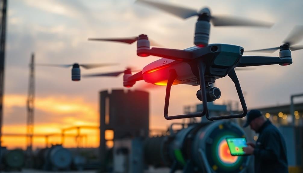
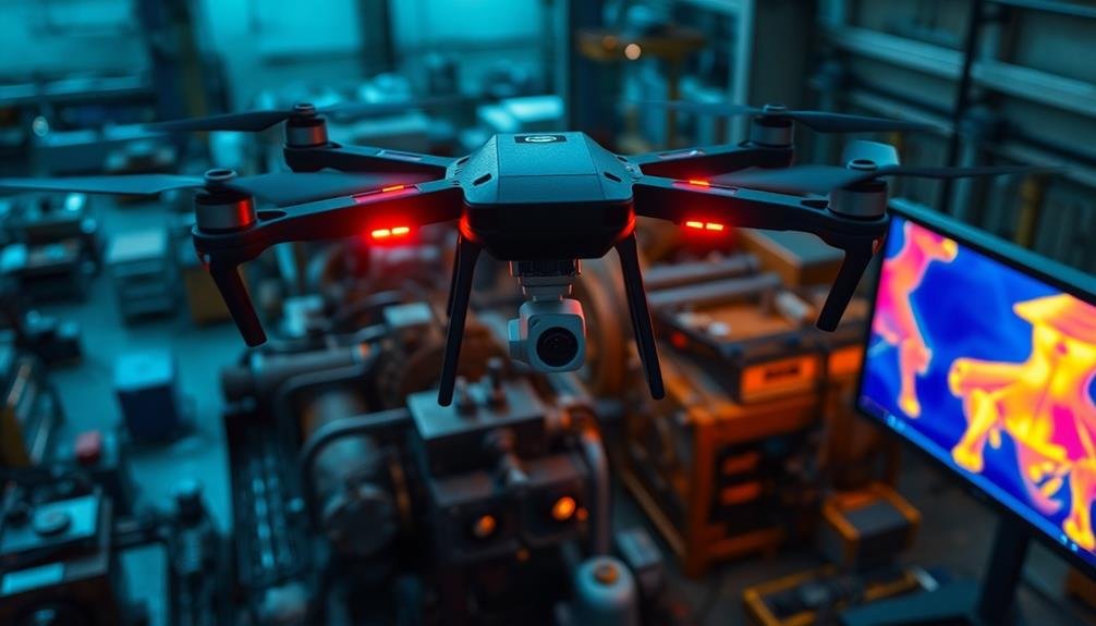
Analyze Data in Real-Time
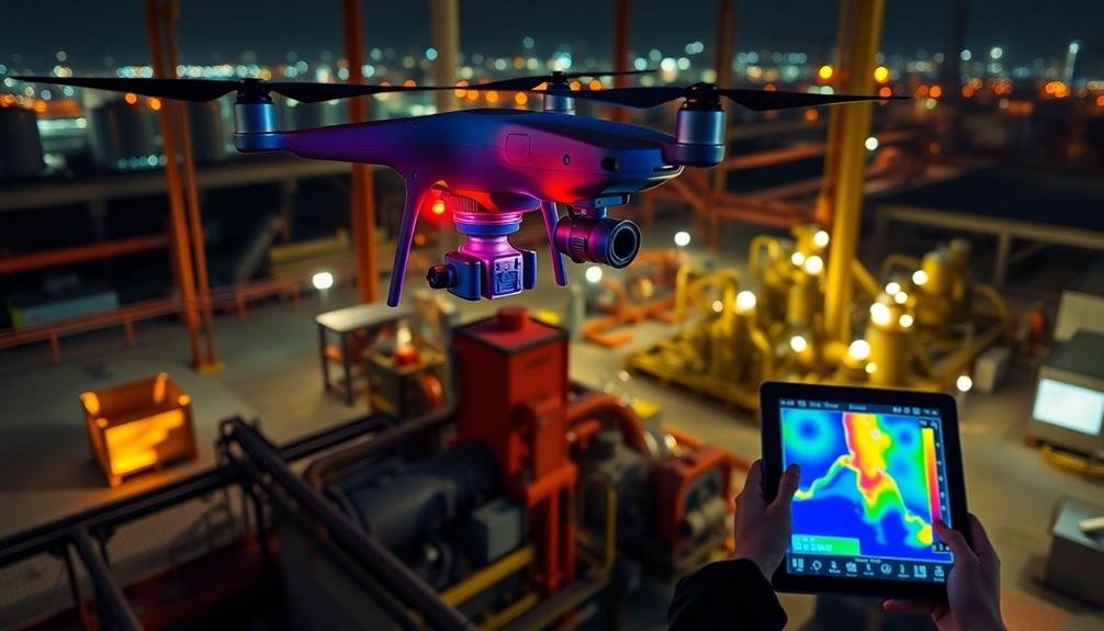
Real-time data analysis is essential when conducting industrial drone thermal imaging inspections. By processing and interpreting thermal data on the spot, you'll be able to make immediate decisions and take swift action if any critical issues are detected. To analyze data in real-time, guarantee your drone is equipped with advanced onboard processing capabilities and a reliable live streaming system.
You'll want to establish a ground control station with powerful software that can receive and process the thermal imagery as it's captured. This setup allows you to monitor temperature variations, identify hotspots, and detect anomalies in equipment performance while the drone is still in flight.
Pay close attention to unexpected temperature patterns or sudden changes that could indicate potential failures or safety hazards. Don't hesitate to adjust your flight path or capture additional imagery if you spot areas of concern.
Real-time analysis also enables you to compare current data with historical records, helping you identify trends or recurring issues. By leveraging this immediate feedback, you can prioritize maintenance tasks, schedule follow-up inspections, or even halt operations if a severe problem is detected, ultimately improving the efficiency and safety of your industrial processes.
Implement Safety Protocols
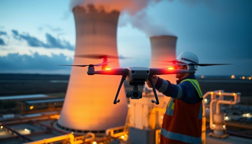
When implementing safety protocols for industrial drone thermal imaging, you'll need to establish clear No-Fly Zones to protect sensitive areas and personnel.
It's essential to train your operators thoroughly, ensuring they understand flight regulations, emergency procedures, and the specific thermal imaging equipment.
Establish No-Fly Zones
How can you confirm your industrial drone operations remain safe and compliant? One vital step is to establish no-fly zones. These restricted areas guarantee your drones don't interfere with sensitive equipment, personnel, or operations.
Start by mapping out your facility and identifying critical areas. Use GPS coordinates to define precise boundaries for no-fly zones. Program these coordinates into your drone's flight control software to create geofences. This prevents pilots from accidentally entering restricted airspace.
Consider the following types of no-fly zones:
| Zone Type | Purpose | Examples |
|---|---|---|
| Safety | Protect personnel | Walkways, work areas |
| Security | Safeguard sensitive areas | Data centers, R&D labs |
| Operational | Avoid interference | Active machinery, test sites |
| Environmental | Prevent disturbances | Wildlife habitats, wetlands |
| Legal | Comply with regulations | Restricted airspace, property lines |
Regularly update your no-fly zones to reflect changes in your facility or operations. Train your drone pilots on these restrictions and confirm they understand the importance of adhering to them. Implement a system for requesting temporary access to no-fly zones when necessary, with proper approvals and safety measures in place.
Train Operators Thoroughly
Thorough training of drone operators is essential for maintaining safety and compliance in industrial thermal imaging operations. You'll need to guarantee your operators are well-versed in both drone piloting and thermal imaging techniques.
Start with the basics of drone flight, including takeoff, landing, and maneuvering in various weather conditions. Then, focus on specific skills needed for industrial inspections, such as hovering steadily and steering around complex structures.
Next, train your operators on thermal imaging principles and interpretation. They should understand how different materials and temperatures appear on thermal cameras and how to identify potential issues in equipment.
Don't forget to cover software usage for image analysis and report generation.
Safety protocols are vital. Teach operators about pre-flight checklists, emergency procedures, and how to handle equipment malfunctions. They should also be familiar with relevant regulations and airspace restrictions.
Implement a rigorous certification process, including both written tests and practical assessments. Regular refresher courses will help keep skills sharp and update operators on new technologies or regulations.
Frequently Asked Questions
How Long Does It Take to Become Proficient in Industrial Drone Thermal Imaging?
You'll typically need several months to become proficient in industrial drone thermal imaging. It depends on your background, training intensity, and practice frequency. You're looking at around 3-6 months of dedicated learning and hands-on experience.
What Are the Legal Requirements for Conducting Drone Thermal Inspections?
You'll need a commercial drone license (Part 107) and follow FAA regulations. Check local laws for specific restrictions. Obtain necessary permits, especially for sensitive areas. Make certain you're compliant with privacy laws when conducting thermal inspections.
Can Thermal Imaging Drones Detect Gas Leaks or Other Invisible Hazards?
Yes, thermal imaging drones can detect gas leaks and invisible hazards. They'll show temperature differences that indicate leaks or abnormalities. You'll see hot spots or cool areas that aren't visible to the naked eye, helping identify potential safety issues.
How Do Weather Conditions Affect the Accuracy of Thermal Drone Inspections?
Weather conditions greatly impact your thermal drone inspections. Wind can cool surfaces, affecting readings. Rain and humidity interfere with infrared radiation. Sunlight heats objects unevenly. You'll get the best results on calm, dry, overcast days.
What Software Is Best for Analyzing and Reporting Thermal Imaging Data?
For analyzing thermal imaging data, you'll find FLIR Tools+ and Testo IRSoft are popular choices. They offer robust features for image analysis, reporting, and data management. Consider your specific needs and budget when selecting the best software for you.
In Summary
You've now got the essential tips for effective industrial drone thermal imaging inspections. Remember to plan your flights carefully, optimize your camera settings, and consider environmental factors. Don't forget to analyze data in real-time and prioritize safety. By following these guidelines, you'll enhance the accuracy and efficiency of your equipment inspections. Keep refining your skills and stay up-to-date with the latest drone technology to guarantee you're always getting the best results possible.
As educators and advocates for responsible drone use, we’re committed to sharing our knowledge and expertise with aspiring aerial photographers.


Leave a Reply