To capture aerial shots in no-fly zones without conflict, start by researching local drone regulations and obtaining necessary permits. Utilize geofencing technology to avoid restricted areas during flights, and plan alternative shooting locations as backup options. Always communicate with relevant authorities before launching your drone, providing detailed information about your project. Keep your drone's software updated, and be prepared to take manual control if needed. Remember to maintain a safe buffer zone near restricted areas and consider creative shot compositions to mimic aerial perspectives. By following these tips, you'll be better equipped to navigate the complexities of aerial photography in sensitive locations.
Key Takeaways
- Research local regulations and obtain necessary permits before attempting to shoot in restricted areas.
- Utilize geofencing technology to avoid inadvertently entering no-fly zones during your flight.
- Plan alternative shooting locations that offer similar perspectives without violating airspace restrictions.
- Communicate with relevant authorities beforehand to explain your project and seek potential waivers.
- Consider using ground-based techniques or elevated platforms to simulate aerial perspectives in restricted areas.
Research Local Drone Regulations
Prior to launching your drone, it's crucial to familiarize yourself with local regulations. Start by researching federal and state laws governing drone usage in your area. Check the FAA website for up-to-date information on airspace restrictions, registration requirements, and operational guidelines.
Next, investigate local ordinances specific to your city or county. Some municipalities have additional rules regarding drone flights, such as altitude limits, time restrictions, or no-fly zones around sensitive areas. Contact your local government offices or visit their websites for this information.
Don't forget to research regulations for specific locations you plan to photograph. National parks, wildlife refuges, and certain historic sites often have their own drone policies. Always check with the managing authority before flying in these areas.
Consider using smartphone apps designed for drone pilots, which provide real-time information on airspace restrictions and temporary flight limitations. These tools can help you avoid unintentional violations and facilitate compliance with current regulations.
Lastly, stay informed about changes in drone laws, as they can evolve quickly. Join local drone communities or forums to stay updated on the latest regulatory developments in your area.
Obtain Necessary Permits
Once you've researched the regulations, you'll likely find that some locations require permits for drone photography. Obtaining these permits is essential to avoid legal issues and guarantee smooth operations. Start by identifying the relevant authorities, such as local government offices, park services, or aviation departments.
Contact these organizations well in advance of your planned shoot. They'll provide specific application procedures and requirements. Be prepared to submit detailed flight plans, proof of insurance, and your drone pilot certification. Some permits may require fees, so factor this into your budget.
Here's a quick guide to common permit types:
| Permit Type | Purpose | Typical Requirements |
|---|---|---|
| Commercial | Business use | FAA Part 107 license, insurance |
| Recreational | Personal use | Registration, local approval |
| Special Event | Temporary access | Event details, safety plan |
Use Geofencing Technology
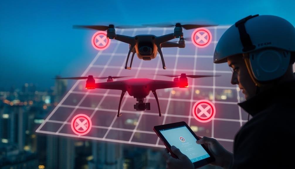
Geofencing technology is an important tool for conflict-free aerial photography. It creates virtual boundaries around no-fly zones, helping you avoid accidentally entering restricted areas. Most modern drones come equipped with built-in geofencing capabilities, but you should always verify your device's software is up-to-date for the most accurate information.
To use geofencing effectively, familiarize yourself with your drone's specific features. Some models allow you to set custom geofences, which can be useful when operating near sensitive areas. Always double-check these boundaries before takeoff and during flight to maintain compliance.
Remember that geofencing isn't foolproof. It's vital to stay informed about temporary flight restrictions and local regulations that may not be reflected in your drone's software. Use geofencing as a supplementary tool, not a replacement for your own knowledge and judgment.
When flying near the edge of a geofenced area, maintain a safe buffer zone to account for potential GPS inaccuracies. If your drone unexpectedly approaches a restricted area, be prepared to take manual control and guide it back to a safe location immediately.
Plan Alternative Shooting Locations
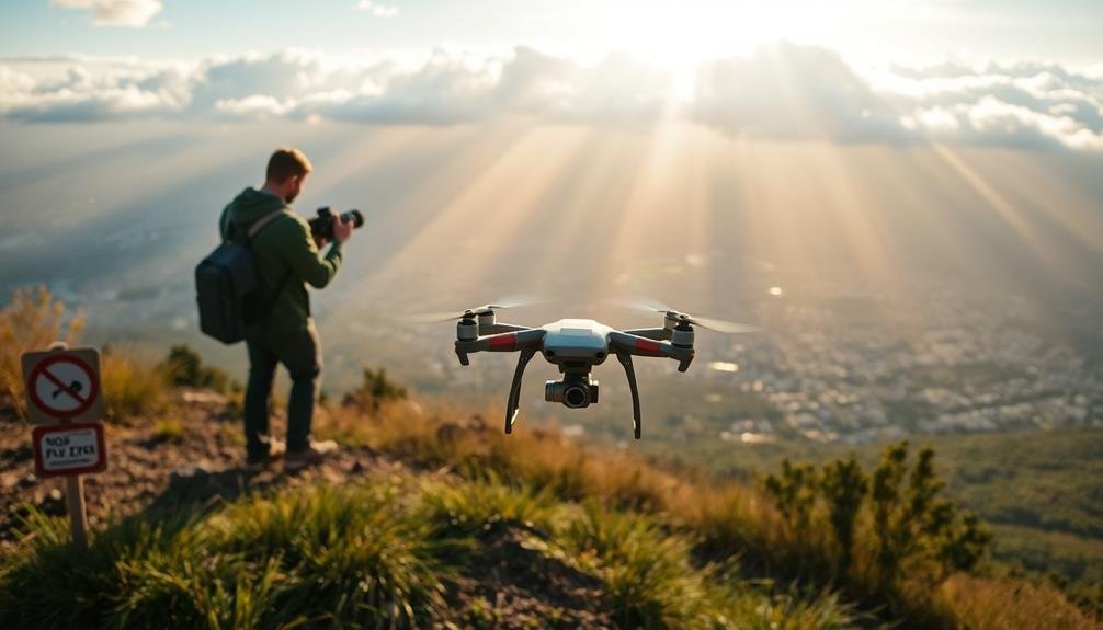
Aerial photography success often hinges on location flexibility. When you're faced with no-fly zones or restricted areas, it's essential to have backup plans.
Start by researching alternative vantage points that can offer similar or even more interesting perspectives. Look for elevated areas like nearby hills, tall buildings, or observation decks that might provide a bird's-eye view without the need for drone flight.
Consider using Google Earth or topographical maps to scout potential locations before your shoot. You'll want to identify multiple options to account for unexpected closures or access issues.
Don't forget to check if these alternative spots require permits or have their own restrictions.
Sometimes, you might need to get creative with your shot composition. A ground-level perspective with a wide-angle lens can sometimes mimic the feel of an aerial shot. You could also explore using extendable poles or masts to gain extra height for your camera.
If you're dealing with temporary flight restrictions, plan your shoot for a different time when the airspace is clear. Flexibility in your scheduling can often be the key to capturing the shots you need without violating any regulations.
Communicate With Relevant Authorities
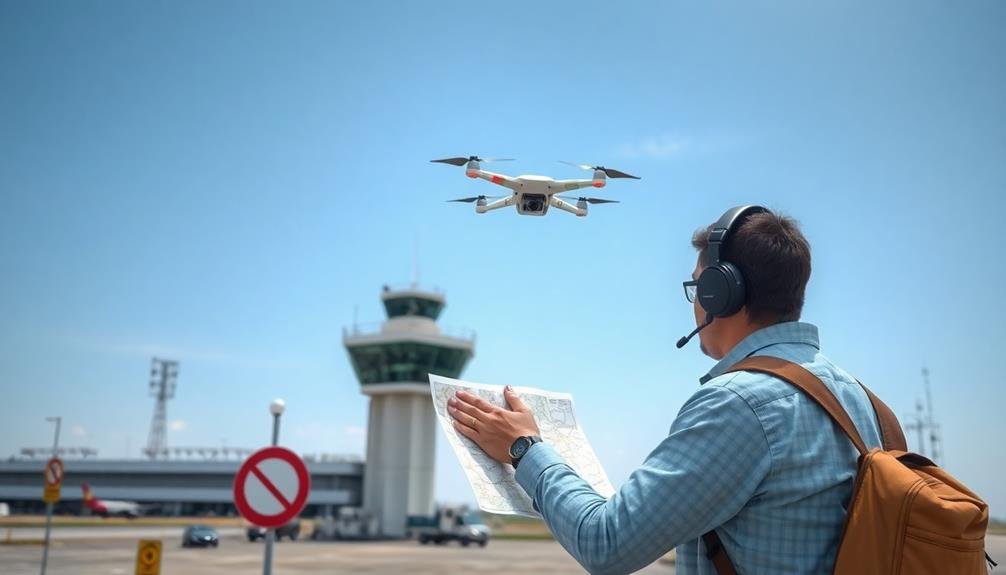
Reaching out to relevant authorities is a crucial step in ensuring conflict-free aerial photography. Before you launch your drone, contact local law enforcement, airport management, or other relevant agencies to inform them of your plans. Explain your project's purpose, intended flight area, and duration. This proactive approach can prevent misunderstandings and potential legal issues.
When communicating with authorities, be prepared to provide detailed information about your equipment, including your drone's model and registration number. You should also have your pilot certification ready if required. Be open to their feedback and willing to adjust your plans if necessary.
In some cases, you may need to obtain special permits or waivers to fly in restricted areas. Don't hesitate to ask about these requirements and follow the proper channels to secure them.
Remember that regulations can vary by location, so research the specific rules for your area.
Frequently Asked Questions
How Can I Legally Fly Drones Indoors in No-Fly Zones?
You can legally fly drones indoors in no-fly zones as long as you're inside a private building. It's important to get the property owner's permission first and guarantee you're not violating any local laws or regulations.
What Are the Penalties for Accidentally Entering a No-Fly Zone?
If you accidentally enter a no-fly zone, you could face hefty fines, license suspension, or even criminal charges. Penalties vary by location and severity. It's essential to stay informed and avoid restricted areas to prevent legal troubles.
Can I Use a Tethered Drone in Restricted Airspace?
You can't use a tethered drone in restricted airspace without proper authorization. It's still considered an unmanned aircraft system. You'll need to obtain specific permissions from the FAA or relevant authorities before flying in these areas.
Are There Exceptions for Emergency or Disaster Response Drone Photography?
Yes, there are often exceptions for emergency or disaster response drone photography. You'll need proper authorization and coordination with relevant authorities. It's essential you follow specific protocols and regulations, even in urgent situations.
How Do International No-Fly Zones Affect Drone Pilots Traveling Abroad?
When you're traveling abroad, you'll need to research each country's specific drone laws and no-fly zones. You're responsible for complying with local regulations, which can vary widely. It's essential to obtain necessary permits before flying.
In Summary
You've now got the tools to navigate no-fly zones for aerial photography. Remember, it's your responsibility to stay informed and compliant. Always research regulations, secure permits, and use geofencing. Don't forget to plan backup locations and keep lines of communication open with authorities. By following these tips, you'll minimize conflicts and maximize your chances of capturing stunning aerial shots safely and legally. Happy flying!

As educators and advocates for responsible drone use, we’re committed to sharing our knowledge and expertise with aspiring aerial photographers.


Leave a Reply