When capturing aerial images globally, you'll need to navigate a complex web of regulations. Familiarize yourself with local laws, as they vary greatly by country. Obtain necessary permits, respect no-fly zones, and adhere to altitude restrictions. Privacy concerns are paramount, so always seek consent when photographing private property or individuals. Register your drone and get proper licensing, especially for commercial use. Be aware of airspace classifications, weather limitations, and cross-border regulations. Compliance is essential to avoid hefty fines or legal issues. Understanding these key aspects will set you on the right path, but there's much more to explore in this evolving field.
Key Takeaways
- Research local regulations, as aerial photography laws vary significantly by country and region.
- Obtain necessary permits and licenses for drone or aircraft operation before conducting aerial shoots.
- Respect privacy laws and obtain consent when photographing individuals or private property from the air.
- Be aware of no-fly zones, including military installations, airports, and critical infrastructure.
- Adhere to altitude and distance limitations, which typically restrict flights to 400 feet or less in many countries.
Legal Framework for Aerial Photography
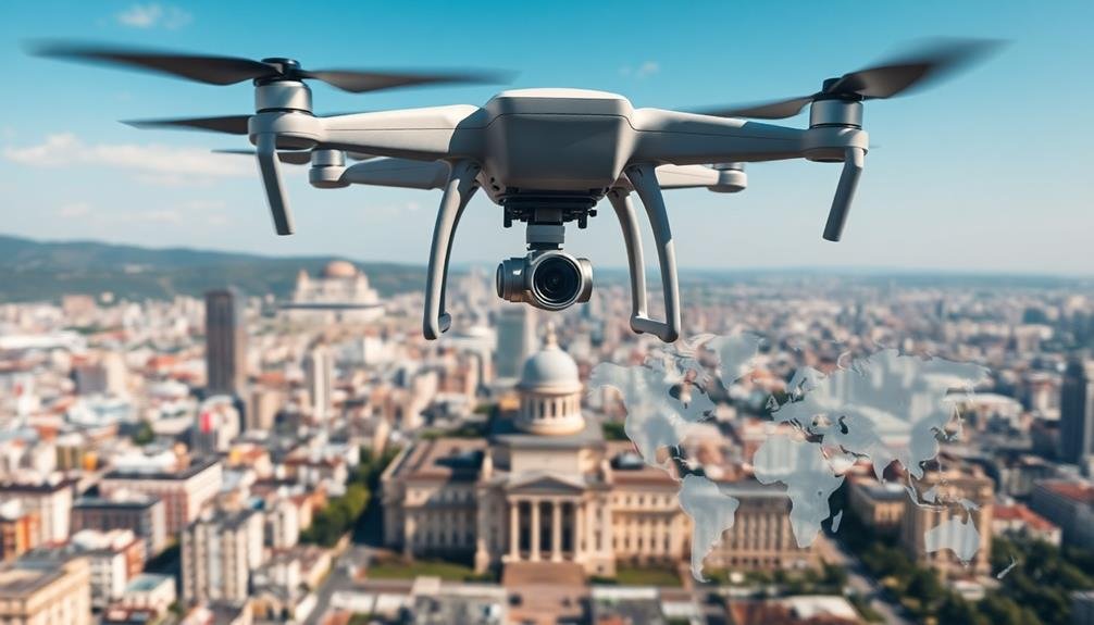
Maneuvering the complex landscape of aerial photography laws, photographers must understand the legal framework governing this field. You'll find that regulations vary greatly across countries and regions, making it essential to research local laws before any aerial shoot.
In many jurisdictions, you'll need to obtain permits or licenses to operate drones or aircraft for photography purposes. These often come with specific restrictions on altitude, flight paths, and no-fly zones.
You'll also need to take into account privacy laws, which protect individuals from unauthorized photography in private spaces.
When it comes to commercial use, you'll face additional regulations. Many countries require special certifications for commercial drone operators.
You'll need to be aware of copyright laws, particularly when capturing images of landmarks or buildings.
Environmental regulations play a role too. You may face restrictions in protected areas or during certain seasons to avoid disturbing wildlife.
No-Fly Zones and Restricted Areas
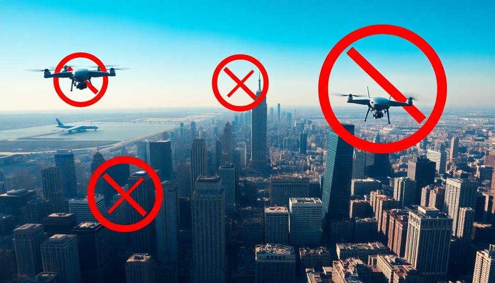
Red lines on the map mark no-fly zones and restricted areas, critical boundaries you must respect as an aerial photographer. These zones exist for various reasons, including national security, public safety, and environmental protection. You'll need to familiarize yourself with local and international regulations to avoid legal troubles and guarantee responsible drone operation.
Common no-fly zones include:
| Type of Area | Examples |
|---|---|
| Military Installations | Bases, training grounds |
| Government Buildings | Parliaments, embassies |
| Critical Infrastructure | Power plants, dams |
| Airports | Commercial, military |
Before any flight, check for temporary restrictions due to events or emergencies. Many countries have mobile apps or websites providing real-time information on no-fly zones. You'll also need to be aware of altitude restrictions, which can vary by location and airspace class.
Privacy Concerns and Consent
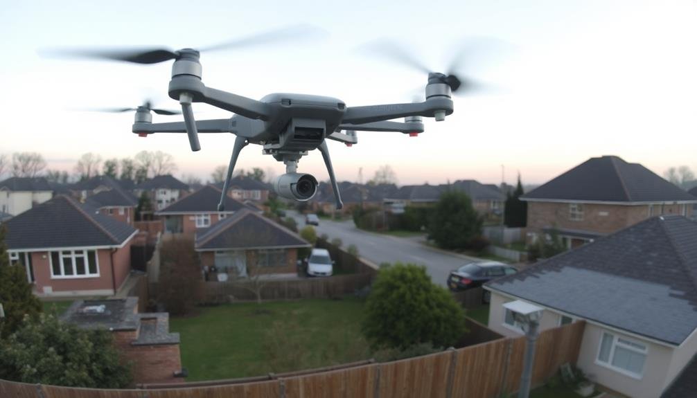
While respecting no-fly zones is paramount, you'll also need to navigate the complex landscape of privacy laws and ethical considerations.
Privacy concerns vary widely across countries, so you must research local regulations before capturing aerial images. In many regions, you're required to obtain consent from individuals or property owners before photographing them or their premises from the air.
Be especially cautious when capturing images of residential areas, private events, or sensitive locations. Some countries have strict laws against photographing government buildings or military installations, even from a distance.
You'll need to be aware of data protection regulations, such as GDPR in Europe, which may affect how you store and use aerial images containing personal information.
To protect yourself legally and ethically, always obtain necessary permits and permissions before flying. Consider using geofencing technology to avoid accidentally capturing restricted areas.
When possible, inform local authorities and communities about your aerial photography plans. Blur or remove identifiable features of individuals and private properties in your images unless you have explicit consent.
Altitude and Distance Limitations
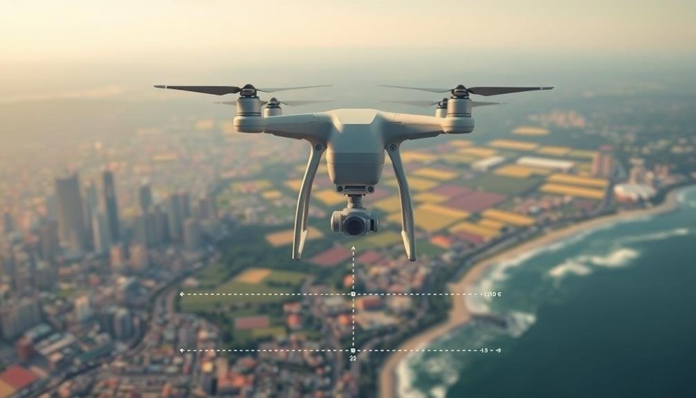
Sky-high rules govern how high and far you can fly your drone for aerial photography. These regulations vary globally but typically aim to balance safety, privacy, and airspace management.
In the United States, the Federal Aviation Administration (FAA) limits recreational drone flights to 400 feet above ground level. For commercial operations, you'll need a Part 107 license and may apply for waivers to fly higher.
The European Union Aviation Safety Agency (EASA) has similar restrictions, generally capping flights at 120 meters (about 394 feet). In Australia, the Civil Aviation Safety Authority (CASA) also enforces a 120-meter limit. Many countries adopt these standards, but you should always check local laws before flying.
Distance limitations often accompany altitude restrictions. The FAA requires you to maintain visual line of sight with your drone at all times. Some nations impose specific distance limits, like Canada's 500-meter maximum horizontal distance.
Urban areas frequently have stricter rules, prohibiting flights near airports, government buildings, or crowded spaces. Remember, these regulations can change, so stay updated on the latest guidelines in your area to guarantee compliance and safe operation.
Drone Registration Requirements
Beyond altitude and distance limitations, many countries require you to register your drone before taking to the skies. This process often involves providing personal information, details about your drone, and paying a registration fee.
In the United States, you must register with the Federal Aviation Administration (FAA) if your drone weighs more than 0.55 pounds (250 grams). The UK's Civil Aviation Authority (CAA) mandates registration for drones weighing over 250 grams as well.
In Canada, you'll need to register drones weighing between 250 grams and 25 kilograms with Transport Canada. Australia requires registration through the Civil Aviation Safety Authority (CASA) for drones used for commercial purposes.
The European Union has implemented a standardized registration system across member states, with requirements varying based on the drone's weight and intended use.
It's essential to research and comply with the specific registration requirements of the country you're flying in. Failure to register can result in hefty fines and legal consequences.
Keep in mind that registration rules may change, so stay updated on the latest regulations. Many countries also require you to display your registration number on your drone for easy identification.
Pilot Licensing and Certification
When operating drones internationally, you'll need to understand varying pilot licensing requirements across different countries.
You'll find that training processes and certification standards can differ considerably, with some nations mandating extensive coursework and others requiring only basic proficiency tests.
It's essential to stay informed about renewal procedures, as many jurisdictions require periodic recertification to maintain your legal status as a drone pilot.
International License Requirements
Maneuvering international airspace for aerial imaging often requires specific pilot licenses and certifications. You'll need to understand the varying requirements across different countries and regions. Many nations adhere to International Civil Aviation Organization (ICAO) standards, but local regulations can differ greatly.
To fly commercially for aerial imaging internationally, you'll typically need:
- A valid pilot's license from your home country
- An ICAO-compliant license
- A current medical certificate
- Proof of English language proficiency
- Specific ratings for the aircraft you'll be operating
Here's a quick overview of license requirements in some major regions:
| Region | License Type | Validity Period | Medical Certificate | Language Proficiency |
|---|---|---|---|---|
| North America | FAA Commercial Pilot License | 24 months | Class 2 | ICAO Level 4 or higher |
| Europe | EASA Commercial Pilot License | 12 months | Class 1 | ICAO Level 4 or higher |
| Asia Pacific | CAAC Commercial Pilot License | 12 months | Class 1 | ICAO Level 4 or higher |
| Middle East | GCAA Commercial Pilot License | 12 months | Class 1 | ICAO Level 4 or higher |
| South America | ANAC Commercial Pilot License | 12 months | Class 1 | ICAO Level 4 or higher |
Remember to research specific requirements for each country you plan to operate in, as regulations can change frequently. Always check with local aviation authorities for the most up-to-date information.
Training and Renewal Processes
Staying current with your pilot's license and certifications for aerial imaging requires ongoing training and regular renewals.
You'll need to complete recurrent training sessions, which typically cover updates in regulations, safety procedures, and new technologies. These sessions often include both theoretical and practical components to guarantee you're up-to-date with the latest industry standards.
Renewal processes vary by country and certification type, but generally involve submitting proof of your recent flight experience, passing medical examinations, and demonstrating continued proficiency.
You may also need to undergo periodic skills assessments or practical tests to maintain your license.
To make the most of your training and renewal processes:
- Plan ahead and schedule your training sessions well in advance
- Keep detailed logs of your flight hours and experiences
- Stay informed about changes in regulations and industry best practices
- Network with other aerial imaging professionals to share knowledge
- Invest in continuous learning through workshops, conferences, and online courses
Insurance and Liability Coverage
In light of the potential risks associated with aerial imaging, insurance and liability coverage are crucial aspects for drone operators to assess.
You'll need to take into account both property damage and personal injury protection. Most standard insurance policies don't cover drone-related incidents, so you'll likely need specialized coverage.
When selecting insurance, look for policies that include hull coverage for your equipment, third-party liability protection, and personal injury coverage.
You should also verify your policy covers privacy violations and data breaches, as these are common concerns in aerial imaging.
Some countries require specific insurance levels for commercial drone operations. In the EU, for example, you'll need at least €1 million in liability coverage.
In the US, requirements vary by state and operation type.
Don't forget to review your policy's exclusions carefully. Many insurers won't cover intentional acts, criminal activities, or flights outside of approved areas.
You'll also want to check if your policy covers international operations if you plan to work across borders.
Night Flight Regulations
Night flight regulations for aerial imaging vary widely across different countries and jurisdictions. You'll need to research and comply with local laws before conducting any nighttime aerial photography or videography. In many places, you'll be required to obtain special permits or certifications for night flights. These regulations often mandate additional safety measures, such as enhanced lighting on your aircraft and specific flight patterns.
When planning night flights for aerial imaging, consider these key factors:
- Visibility requirements
- Minimum altitude restrictions
- Noise limitations
- Proximity to airports or restricted airspace
- Weather conditions and forecasts
You'll likely need to equip your drone with anti-collision lights visible from all directions. Some regions may require you to use a visual observer in addition to the pilot.
It's essential to maintain visual line of sight with your aircraft at all times, which can be more challenging at night. You should also be prepared for potential interference from artificial lighting sources.
Commercial vs. Recreational Use
When you're capturing aerial images, it's essential to understand the distinction between commercial and recreational use.
You'll find that licensing and permit requirements often differ greatly based on your intended purpose.
Additionally, you may face varying operational restrictions depending on whether you're flying for business or pleasure.
Licensing and Permits
According to global regulations, aerial image capture often requires distinct licensing and permits based on whether you're flying for commercial or recreational purposes.
Commercial operators typically need more extensive certifications and authorizations, while recreational users may face fewer requirements. However, it's essential to research and comply with local laws, as they can vary considerably between countries and even regions within countries.
For commercial use, you'll likely need to obtain a remote pilot certificate or equivalent qualification. This often involves passing knowledge tests and practical assessments. You may also need to register your drone and secure specific permissions for commercial operations.
Recreational users generally face less stringent requirements, but you're still responsible for following safety guidelines and respecting privacy laws. In many countries, you'll need to register your drone if it exceeds certain weight limits.
Key points to remember:
- Research local regulations before flying
- Obtain necessary certifications for commercial operations
- Register your drone as required
- Respect airspace restrictions and no-fly zones
- Prioritize safety and privacy in all aerial photography activities
Always stay informed about changing regulations, as drone laws are evolving rapidly worldwide. Compliance guarantees you can enjoy aerial photography while avoiding legal issues.
Operational Restrictions Differ
Beyond licensing and permits, operational restrictions for aerial photography vary considerably between commercial and recreational use. You'll find that commercial operators often face stricter regulations due to the nature of their work. These include height limitations, no-fly zones, and specific operational hours.
As a recreational user, you might enjoy more flexibility, but you're still bound by safety rules and privacy laws. It's essential to understand these differences to guarantee compliance and avoid potential legal issues.
Here's a comparison of key operational restrictions:
| Restriction | Commercial Use | Recreational Use |
|---|---|---|
| Maximum altitude | 400 feet (121 m) | 400 feet (121 m) |
| Night operations | Allowed with waiver | Generally prohibited |
| Flights over people | Allowed with waiver | Prohibited |
| Required visual line of sight | Yes | Yes |
| Preflight inspections | Mandatory | Recommended |
Image Rights and Copyright Laws
Steering through the complex landscape of image rights and copyright laws, aerial photographers must understand the legal implications of their work.
As you capture images from above, you're not just creating art; you're also maneuvering a web of legal considerations. Different countries have varying laws regarding aerial photography and the rights to images captured within their borders.
You'll need to be aware of:
- Copyright ownership of the images you take
- Restrictions on photographing certain locations or structures
- Privacy laws that may affect your ability to publish or sell images
- Licensing requirements for commercial use of aerial photographs
- International treaties that govern cross-border image rights
Airspace Classifications and Permissions
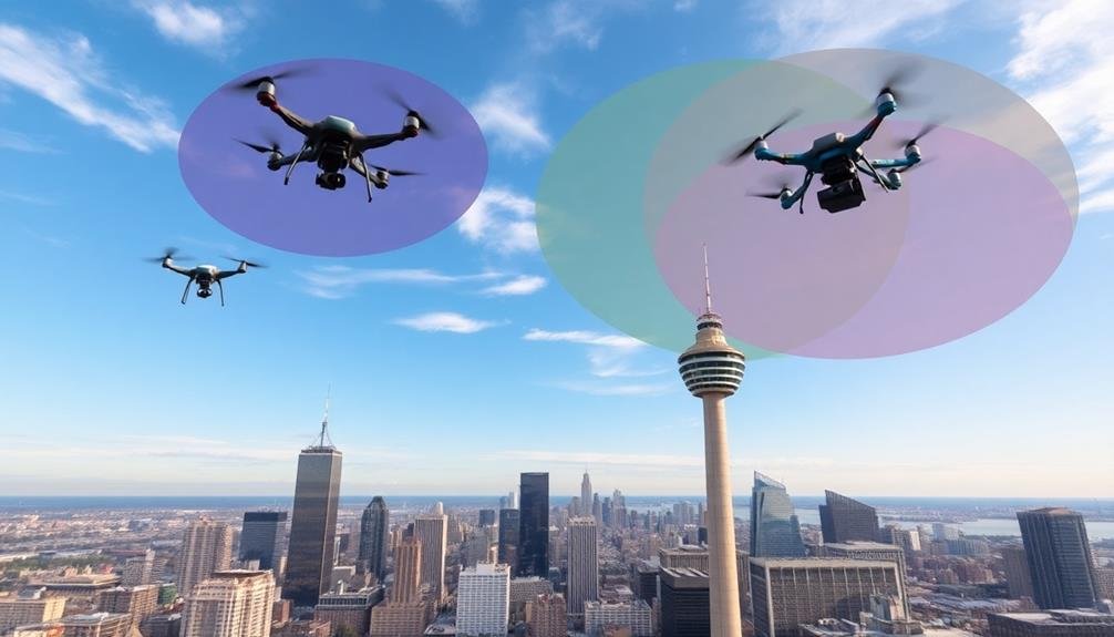
You'll encounter various airspace classifications when capturing aerial images globally, including restricted areas that require special permissions and open zones with fewer limitations.
Altitude restrictions differ worldwide, so you must familiarize yourself with local regulations before flying your drone or aircraft.
Keep in mind that licensing requirements for aerial photography vary by country and region, often necessitating specific certifications or permits to operate legally.
Restricted vs. Open Areas
When capturing aerial images, understanding the distinction between restricted and open areas is essential. Restricted areas are zones where aerial photography is prohibited or strictly regulated due to security, privacy, or safety concerns. These may include military installations, government buildings, and critical infrastructure.
Open areas, on the other hand, are locations where aerial imaging is generally permitted, subject to local regulations and airspace classifications.
To navigate these distinctions effectively, you'll need to:
- Research local laws and regulations specific to your area
- Consult aeronautical charts to identify restricted airspace
- Obtain necessary permits or clearances for restricted areas
- Respect privacy laws and avoid capturing images of private property
- Stay updated on temporary flight restrictions
Remember that even in open areas, you're still subject to general aviation rules and drone regulations.
Always prioritize safety and comply with altitude restrictions, visual line-of-sight requirements, and no-fly zones. Be aware that some seemingly open areas may have temporary restrictions due to events or emergencies.
Altitude Limitations Worldwide
Altitude limitations play a key role in global aerial imaging regulations. You'll find that most countries have specific height restrictions for drones and other aerial imaging devices.
These limits typically range from 120 to 400 feet (36 to 122 meters) above ground level, depending on the country and airspace classification. In controlled airspace near airports, you'll often need special permission to operate at any altitude.
Uncontrolled airspace usually allows for more flexibility, but you're still required to stay below certain heights. It's essential to check local regulations, as some nations have stricter rules than others.
You'll also encounter different altitude limits based on the purpose of your flight. Commercial operations may have higher allowances than recreational flights in some areas.
Urban environments often have lower altitude restrictions compared to rural locations. Remember that these limitations aren't just arbitrary rules; they're designed to guarantee safety and prevent conflicts with manned aircraft.
Always use reliable altimeters and GPS systems to maintain accurate height awareness. By adhering to these global altitude limitations, you'll help keep the skies safe while capturing your aerial images.
Licensing Requirements Vary
Licensing requirements for aerial imaging vary widely across different countries and regions. You'll need to research and comply with local regulations before operating your aerial imaging equipment. In some places, you may need a specific license or permit for commercial drone operations, while others might require registration for all unmanned aircraft.
It's vital to understand the airspace classifications and permissions in your area. Different zones may have distinct rules and restrictions. For example, flying near airports or in controlled airspace often requires prior authorization.
You'll also need to be aware of temporary flight restrictions that can be imposed for various reasons, such as special events or emergencies.
To guarantee compliance and avoid legal issues, consider the following:
- Research local laws and regulations thoroughly
- Obtain necessary licenses or permits before flying
- Check for airspace restrictions using official sources
- Stay updated on changes in drone legislation
- Join local drone communities for insights and support
Remember that regulations can change quickly, so it's imperative to stay informed about the latest requirements in your area.
Failure to comply with licensing and airspace regulations can result in fines or legal consequences, so always prioritize safety and legality in your aerial imaging activities.
Weather Conditions and Safety
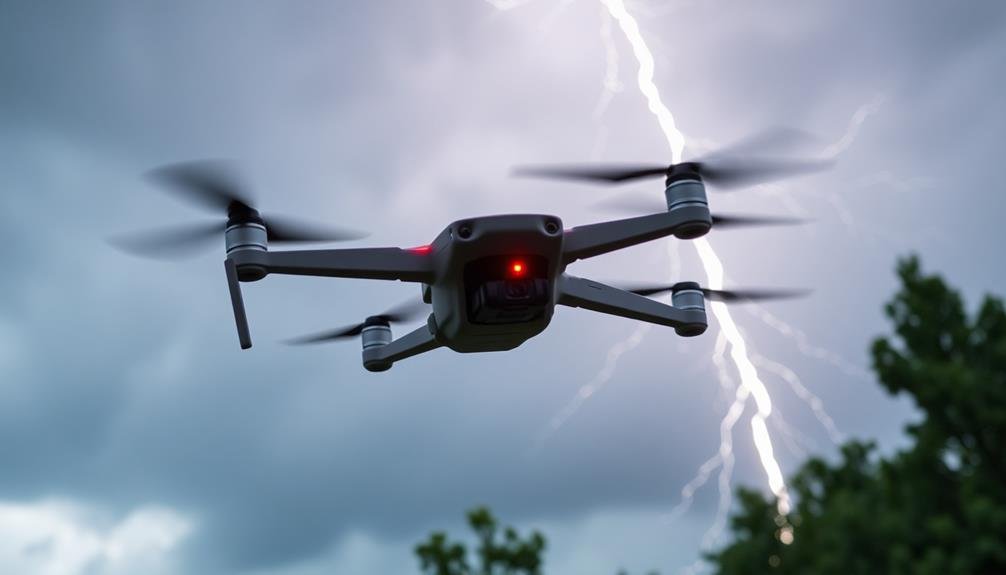
During aerial imaging operations, weather conditions play an essential role in safety and image quality. You'll need to take into account factors like wind speed, cloud cover, and precipitation before launching your aerial imaging mission. Strong winds can destabilize your aircraft, while heavy cloud cover may obstruct your view and compromise image clarity.
To guarantee safety, you should always check local weather forecasts and adhere to recommended guidelines for your specific equipment. Most aerial imaging platforms have operational limits for wind speed and visibility. You'll also want to avoid flying in rain or snow, as moisture can damage sensitive camera equipment and electronics.
Here's a quick reference guide for common weather conditions and their impact on aerial imaging:
| Weather Condition | Safety Concern | Image Quality Impact |
|---|---|---|
| High Winds | Aircraft instability | Blurry images |
| Low Visibility | Collision risk | Poor contrast |
| Precipitation | Equipment damage | Water spots on lens |
Cross-Border Drone Operations
Cross-border drone operations present unique challenges and legal complexities for aerial imaging professionals.
When you're planning to fly your drone across international borders, you'll need to navigate a maze of regulations and permissions. Each country has its own set of rules governing drone usage, and it's vital to research and comply with the laws of both your departure and destination countries.
You'll likely need to obtain special permits and clearances before initiating cross-border flights. This process can be time-consuming and may involve coordination with multiple government agencies.
It's important to plan well in advance and keep detailed documentation of all approvals.
Here are key considerations for cross-border drone operations:
- Customs regulations for importing and exporting drone equipment
- Frequency allocations and radio transmission laws in different countries
- Insurance requirements and liability concerns
- Data privacy and storage regulations in various jurisdictions
- Potential restrictions on photographing sensitive areas or landmarks
Penalties for Non-Compliance
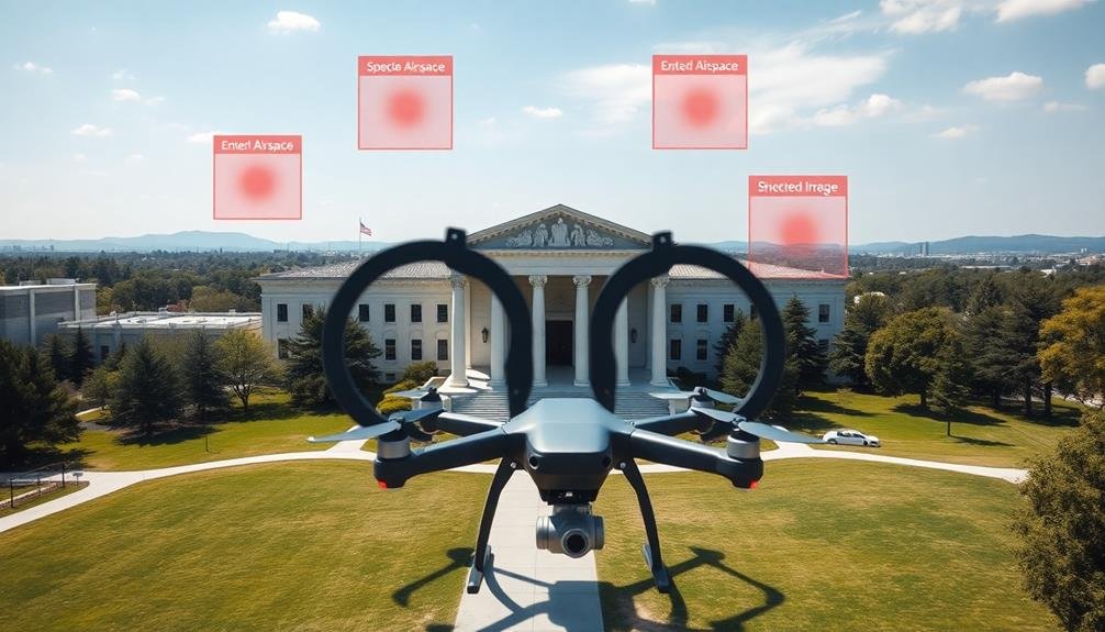
If you fail to comply with global aerial image regulations, you'll face serious consequences.
You may be subject to hefty fines and potential legal action, depending on the severity of the violation and the jurisdiction involved.
Additionally, your drone operator's license could be suspended or permanently revoked, effectively grounding your aerial imaging activities.
Fines and Legal Consequences
Violators of global aerial image regulations face severe penalties and legal repercussions. You'll find that fines can range from thousands to millions of dollars, depending on the severity of the infraction and the jurisdiction involved. In some cases, you might even face criminal charges, leading to potential imprisonment.
Regulatory bodies take these violations seriously, often imposing additional sanctions such as:
- Revocation of licenses or permits
- Mandatory retraining or education programs
- Temporary or permanent bans on aerial imaging activities
- Seizure of equipment used in illegal operations
- Public disclosure of violations, damaging your reputation
You should be aware that ignorance of the law isn't a valid defense. It's your responsibility to stay informed about regulations in the areas where you operate. Multiple offenses typically result in escalating penalties, so it's essential to comply from the start.
International violations can lead to complex legal battles involving multiple countries. You might face extradition requests or travel restrictions if you're found in violation of another nation's laws.
To avoid these consequences, always research and adhere to local and international regulations before conducting any aerial imaging activities.
License Suspension or Revocation
Among the most severe penalties for non-compliance with global aerial image regulations is the suspension or revocation of your license. This can have far-reaching consequences for your aerial imaging activities and business operations.
If your license is suspended, you'll be temporarily prohibited from conducting any aerial imaging work. The duration of the suspension depends on the severity of the violation and can range from a few weeks to several months.
License revocation is even more serious. It means you've lost your right to operate in the aerial imaging industry altogether. You'll need to reapply for a new license, which isn't guaranteed and often involves a lengthy process. During this time, you can't legally conduct any aerial imaging work.
To avoid these penalties, always stay informed about current regulations and adhere to them strictly. Keep detailed records of your operations, maintain your equipment properly, and guarantee all your staff are adequately trained.
If you're unsure about a particular regulation or procedure, don't hesitate to consult with legal experts or industry associations. Remember, it's always better to err on the side of caution than risk losing your license.
Frequently Asked Questions
How Do I Capture Stabilized Aerial Footage in Windy Conditions?
To capture stabilized aerial footage in windy conditions, you'll need a drone with a good gimbal. Use slower movements, enable wind resistance mode, and adjust your camera settings. Post-processing stabilization can also help smooth out any remaining shakiness.
What Equipment Is Best for Long-Range Aerial Photography Missions?
For long-range aerial photography missions, you'll want a drone with extended flight time and range. Consider models with powerful zoom lenses, high-resolution cameras, and obstacle avoidance systems. Don't forget spare batteries and a reliable controller.
Can I Use Filters or Post-Processing Techniques on Aerial Images?
You can use filters and post-processing techniques on aerial images. They'll enhance colors, adjust contrast, and improve clarity. Just be sure you're not altering the image's integrity or misleading viewers about the actual scene captured.
How Do I Plan Efficient Flight Paths for Large-Scale Aerial Mapping Projects?
You'll want to use specialized flight planning software to optimize your routes. Consider factors like terrain, battery life, and image overlap. Plan parallel flight lines and adjust altitude as needed for consistent coverage and resolution.
What Are the Best Practices for Storing and Backing up Aerial Imagery?
You'll want to use redundant storage systems, including cloud backups and external hard drives. Always keep multiple copies, use RAID configurations, and implement version control. Don't forget to encrypt sensitive data and regularly check for data integrity.
In Summary
You've now got the essentials for global aerial photography rules. Remember, laws vary widely between countries and regions. Always check local regulations before flying. Stay informed about no-fly zones, privacy laws, and altitude limits. Don't forget to register your drone if required. Be mindful of airspace classifications and weather conditions. Follow the rules to avoid penalties and guarantee safe, legal operations. Keep learning as regulations evolve in this rapidly changing field.

As educators and advocates for responsible drone use, we’re committed to sharing our knowledge and expertise with aspiring aerial photographers.


Leave a Reply