Lidar drones and photogrammetry drones differ in three key areas: data collection, accuracy, and cost. Lidar uses laser pulses to create precise 3D point clouds, working in various conditions, while photogrammetry relies on overlapping images taken in clear daylight. Lidar excels in vertical accuracy and penetrating vegetation, whereas photogrammetry provides superior visual detail and textures. Cost-wise, Lidar systems are considerably more expensive, starting at $10,000, compared to photogrammetry drones, which begin around $1,000. Your choice between these technologies will depend on your specific project requirements, budget constraints, and desired outcomes. Exploring these differences further will help you make an informed decision for your aerial surveying needs.
Data Collection Process

Lidar and photogrammetry drones' data collection processes differ considerably.
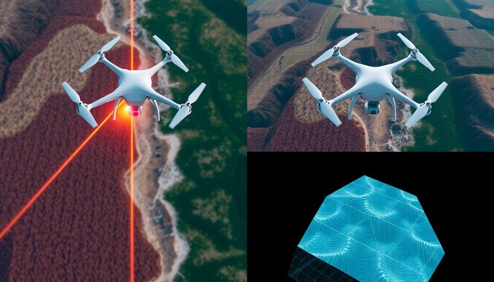
When using a Lidar drone, you'll find that it emits laser pulses to measure distances and create precise 3D point clouds. These drones can collect data in various lighting conditions, including at night, and can penetrate vegetation to map terrain beneath tree canopies.
On the other hand, photogrammetry drones capture overlapping high-resolution images of an area. You'll need to fly these drones during daylight hours and in clear weather conditions for ideal results. The drone's camera takes multiple photos from different angles, which are later processed to create 3D models and maps.
Lidar drones typically collect data faster and more efficiently, especially for large areas or complex terrains. They're less affected by environmental factors like shadows or variations in surface texture.
Photogrammetry drones, however, often require more flight time and multiple passes to guarantee adequate image overlap. They excel in capturing detailed surface textures and colors, making them ideal for visual inspections and creating photorealistic 3D models.
Your choice between these two methods will depend on your specific project requirements, budget, and desired output.
Accuracy and Detail Level
When it comes to accuracy and detail level, both Lidar and photogrammetry drones have their strengths. Lidar drones excel in capturing precise 3D measurements, offering exceptional vertical accuracy. They can penetrate vegetation and create detailed terrain models, even in areas with dense foliage. You'll find Lidar particularly useful for mapping complex structures and generating highly accurate digital elevation models.
Photogrammetry drones, on the other hand, provide superior visual detail. They capture high-resolution images that can be stitched together to create detailed orthomosaics and 3D models. You'll get rich color information and texture, making photogrammetry ideal for visual inspections, urban planning, and creating realistic 3D renderings.
In terms of horizontal accuracy, both technologies can achieve similar results, often within a few centimeters. However, Lidar typically offers better vertical accuracy, especially in areas with varying elevations or complex terrain.
Photogrammetry's accuracy can be affected by lighting conditions and surface textures, while Lidar is less susceptible to these factors. Ultimately, your choice between the two will depend on your specific project requirements, balancing the need for precise measurements against visual detail.
Cost and Equipment Requirements

Although both technologies offer unique benefits, the cost and equipment requirements for Lidar and photogrammetry drones differ considerably.
Lidar systems are generally more expensive, with prices ranging from $10,000 to $200,000 or more for high-end units. You'll need a specialized Lidar sensor, a powerful drone capable of carrying the extra weight, and sophisticated software for data processing. The initial investment is significant, but it can be justified for projects requiring high accuracy and rapid data collection.
Photogrammetry drones, on the other hand, are more budget-friendly. You can start with a consumer-grade drone equipped with a high-resolution camera, which may cost between $1,000 and $5,000. The software required for photogrammetry processing is also less expensive, with some open-source options available. However, you'll need to invest in a powerful computer to handle the intensive image processing.
When choosing between the two, consider your project requirements and budget. If you need centimeter-level accuracy and can afford the higher costs, Lidar might be the way to go. For less demanding projects or tighter budgets, photogrammetry can still provide excellent results at a fraction of the cost.
Frequently Asked Questions
How Do Weather Conditions Affect Lidar Vs Photogrammetry Drone Performance?
You'll find that weather affects both types of drones differently. Lidar performs better in low light and can penetrate foliage, while photogrammetry needs clear skies and good lighting. Rain and fog impact photogrammetry more severely than lidar.
Can Lidar or Photogrammetry Drones Be Used for Underwater Mapping?
You can use specialized underwater lidar and photogrammetry drones for mapping submerged areas. They're equipped with waterproof sensors and lighting. Lidar's better for turbid waters, while photogrammetry works well in clear conditions. Both have depth limitations you'll need to take into account.
What Are the Legal Restrictions for Using Lidar Vs Photogrammetry Drones?
You'll face similar legal restrictions for both lidar and photogrammetry drones. You're required to follow general drone regulations, including registration, pilot certification, and flight restrictions. Specific rules may apply when capturing sensitive areas or infrastructure.
How Do Battery Life and Flight Times Compare Between Lidar and Photogrammetry Drones?
You'll find that LiDAR drones typically have shorter flight times due to heavier payloads. They're often limited to 15-20 minutes. Photogrammetry drones, being lighter, can stay airborne longer, often 25-30 minutes or more on a single charge.
Are There Any Environmental Concerns Associated With Lidar or Photogrammetry Drone Usage?
You should be aware of potential environmental concerns with drone usage. These include noise pollution, wildlife disturbance, and energy consumption. However, both LiDAR and photogrammetry drones have minimal direct environmental impact compared to traditional surveying methods.
In Summary
You've now explored the key differences between lidar and photogrammetry drones. Remember, your choice depends on your specific needs. Lidar offers faster, more accurate data collection but at a higher cost. Photogrammetry provides rich visual detail at a lower price point. Consider your project requirements, budget, and desired outcomes when deciding. Whichever you choose, both technologies have revolutionized aerial mapping and surveying, opening up exciting possibilities for various industries.
As educators and advocates for responsible drone use, we’re committed to sharing our knowledge and expertise with aspiring aerial photographers.


Leave a Reply