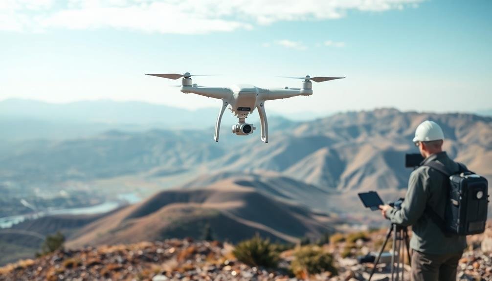
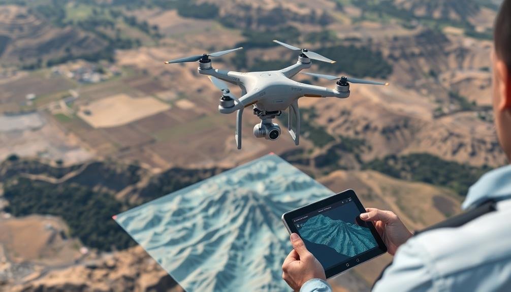
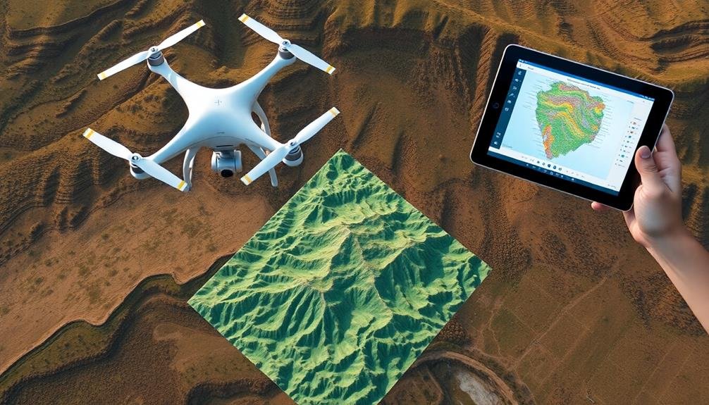
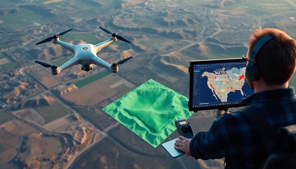
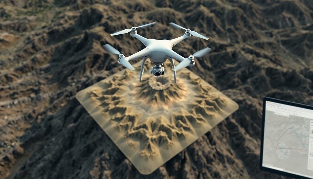
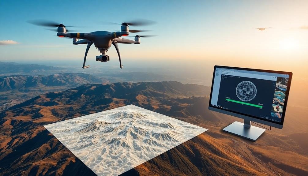
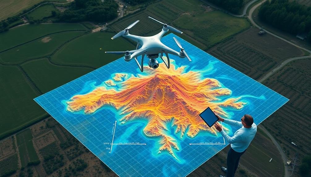
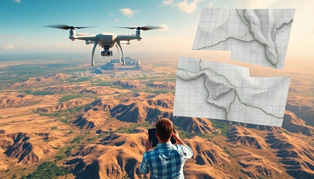
You'll find a range of powerful photogrammetry tools for aerial mapping professionals. Pix4D Mapper, DroneDeploy, and Agisoft Metashape lead the pack with their advanced processing capabilities. SimActive Correlator3D and Bentley ContextCapture offer robust solutions for large datasets. RealityCapture and Autodesk ReCap excel in creating detailed 3D models. For cloud-based options, consider Maps Made Easy. If you prefer open-source software, OpenDroneMap is a solid choice. These tools vary in features, user interface, and scalability, catering to different project needs and skill levels. Exploring each option will help you find the perfect fit for your aerial mapping workflow.
Key Takeaways
- Pix4D Mapper is a leading software for professionals, offering advanced features and efficient handling of large datasets.
- SimActive Correlator3D provides a comprehensive workflow for aerial mapping, including aerial triangulation and orthomosaic creation.
- DroneDeploy offers a cloud-based platform with real-time mapping capabilities and an extensive app market for various industries.
- Agisoft Metashape provides advanced processing capabilities for detailed 3D models and supports various export formats for GIS compatibility.
- ContextCapture offers scalable cloud-based solutions for efficient processing of large datasets in city-wide mapping projects.
Pix4D Mapper
In light of its popularity among professionals, Pix4D Mapper stands out as a leading photogrammetry software for aerial mapping. It's renowned for its ability to process images from various sources, including drones, satellites, and handheld cameras.
You'll find that Pix4D Mapper excels in creating high-quality 3D models, orthomosaics, and digital surface models from aerial imagery. The software's user-friendly interface makes it accessible for both beginners and experts. You can easily import your aerial photos and generate accurate results with minimal manual input.
Pix4D Mapper offers advanced features like automatic tie point extraction, dense point cloud generation, and mesh creation. One of Pix4D Mapper's strengths is its ability to handle large datasets efficiently. You'll appreciate its multi-GPU support, which considerably speeds up processing times.
The software also provides robust quality reports, ensuring you can trust the accuracy of your outputs. Pix4D Mapper integrates seamlessly with other GIS and CAD software, allowing you to export your results in various formats.
You'll find it particularly useful for applications in surveying, construction, agriculture, and urban planning. Its regular updates and dedicated support make it a reliable choice for professionals seeking consistent, high-quality aerial mapping solutions.
DroneDeploy
A cloud-based powerhouse, DroneDeploy has revolutionized aerial mapping and photogrammetry. It's designed to streamline your workflow, from flight planning to data processing and analysis. You'll find it's user-friendly, making it accessible for both beginners and experienced professionals.
DroneDeploy offers real-time mapping capabilities, allowing you to view results as your drone captures data. You can create 2D maps, 3D models, and even thermal maps with compatible hardware. The software's AI-powered analytics help you extract valuable insights from your aerial data quickly.
One of DroneDeploy's standout features is its extensive app market, where you can find specialized tools for various industries like agriculture, construction, and mining.
You'll appreciate the platform's cloud-based nature, enabling collaboration with team members and clients from anywhere. The software supports a wide range of drones and cameras, ensuring compatibility with your existing equipment.
You can also leverage its mobile app for on-site data collection and visualization. With regular updates and a robust support system, DroneDeploy continues to evolve, keeping you at the forefront of aerial mapping technology.
Agisoft Metashape
You'll find Agisoft Metashape offers advanced processing capabilities for transforming your aerial imagery into detailed 3D models and orthomosaics.
Its user-friendly interface design makes it accessible for both beginners and experts, allowing you to navigate complex workflows with ease.
When your project is complete, you can export your results in various formats, ensuring compatibility with your preferred GIS or CAD software.
Advanced Processing Capabilities
Boasting powerful capabilities, Agisoft Metashape offers advanced processing features that elevate aerial mapping to new heights. You'll find a thorough suite of tools designed to handle complex photogrammetry tasks with ease.
Metashape excels in dense point cloud generation, allowing you to create highly detailed 3D models from your aerial imagery. You can fine-tune parameters like quality and depth filtering to achieve ideal results.
The software's mesh generation capabilities let you transform point clouds into textured 3D models, ideal for visualization and analysis.
You'll appreciate Metashape's advanced georeferencing options, enabling precise alignment of your data with real-world coordinates. The software supports various coordinate systems and offers tools for manual and automatic marker placement.
For large-scale projects, you can take advantage of Metashape's distributed processing feature. This allows you to harness the power of multiple computers, greatly reducing processing time for extensive datasets.
Metashape also provides advanced editing tools, including hole filling, smoothing, and decimation options for refining your 3D models. You can export your results in various formats, ensuring compatibility with other software in your workflow.
User-Friendly Interface Design
Despite its advanced capabilities, Agisoft Metashape presents users with an intuitive and user-friendly interface. You'll find that maneuvering through the software's various features is straightforward, even if you're new to photogrammetry. The main workspace is logically organized, with clearly labeled tools and menus that guide you through the entire workflow.
Agisoft Metashape's user-friendly design is evident in several key aspects:
- Customizable workspace: You can arrange panels and toolbars to suit your preferences, creating a personalized layout that enhances your productivity.
- Visual feedback: The software provides real-time visual cues and progress indicators, keeping you informed about the status of your processing tasks.
- Context-sensitive help: Hover over tools or menu items to get instant explanations and usage tips, reducing the learning curve.
- Workflow wizards: Step-by-step guides walk you through complex processes, ensuring you don't miss essential steps in your aerial mapping projects.
You'll appreciate how Metashape's interface strikes a balance between simplicity and functionality. It doesn't overwhelm you with unnecessary clutter, yet it provides quick access to advanced features when you need them.
This thoughtful design allows you to focus on your mapping tasks without getting bogged down by software complexities.
Diverse Export Options
When it comes to sharing your aerial mapping results, Agisoft Metashape offers a wide array of export options to suit various project needs.
You'll find support for common formats like TIFF, JPEG, and PNG for orthomosaic exports, allowing easy integration with GIS software. For 3D models, you can export in OBJ, PLY, FBX, and other popular formats, ensuring compatibility with various 3D modeling and visualization tools.
Metashape doesn't stop there. You can export digital elevation models (DEMs) in GeoTIFF format, perfect for terrain analysis and hydrological studies.
For those working with point clouds, LAS and LAZ formats are available, making it simple to use your data in specialized point cloud processing software.
You'll appreciate the ability to export camera positions and orientation data, which is essential for photogrammetric projects.
Metashape also supports the export of georeferenced PDF files, making it easy to share results with clients who may not have specialized software.
With these diverse export options, you're equipped to deliver your aerial mapping results in formats that meet the specific requirements of your project stakeholders and downstream workflows.
SimActive Correlator3D
SimActive Correlator3D stands out as a powerful photogrammetry software suite for aerial mapping professionals. It's designed to process large datasets from both satellite and aerial imagery, including drone-captured data. You'll find it's particularly adept at handling projects of varying scales, from small site surveys to extensive mapping endeavors.
This software offers a thorough workflow that includes:
- Aerial triangulation and bundle adjustment
- DSM and DTM generation
- Orthomosaic creation
- Volume calculation and feature extraction
You'll appreciate Correlator3D's user-friendly interface, which streamlines your workflow and enhances productivity. It's built to handle multi-core CPUs and GPUs, guaranteeing fast processing times even with massive datasets.
You can easily integrate it with various mapping sensors and platforms, making it a versatile choice for your aerial mapping needs. One of Correlator3D's standout features is its ability to process oblique imagery, allowing you to create detailed 3D models and textures.
You'll also find its cloud-based processing capabilities useful for collaborative projects or when you need additional computing power. With regular updates and responsive customer support, SimActive guarantees you're always working with cutting-edge technology in your aerial mapping projects.
Bentley ContextCapture

You'll find Bentley ContextCapture offers versatile data processing capabilities for aerial mapping projects.
It can handle various input types, including images, LiDAR data, and existing 3D models, allowing you to create detailed 3D reconstructions.
With its scalable cloud-based solutions, you're able to process large datasets efficiently and collaborate with team members in real-time.
Versatile Data Processing Capabilities
With Bentley ContextCapture, you'll find an extensive suite of data processing capabilities that can handle diverse input sources. You'll be able to work with aerial imagery, ground-based photos, and even laser scans to create highly accurate 3D models. The software's versatility allows you to process data from various sensors, including RGB cameras, multispectral sensors, and LiDAR systems.
ContextCapture's data processing capabilities extend beyond basic point cloud generation. You can:
- Perform automated feature extraction to identify and classify objects within your models
- Generate orthophotos and digital elevation models (DEMs) for further analysis
- Create textured 3D meshes for realistic visualizations and virtual reality applications
- Integrate GIS data to enhance your models with additional contextual information
You'll appreciate the software's ability to handle large datasets efficiently, making it suitable for mapping extensive areas.
ContextCapture's scalable processing options let you leverage cloud computing resources or distribute tasks across multiple workstations. This flexibility guarantees you can tackle projects of any size without compromising on quality or speed.
With its user-friendly interface and powerful automation tools, you'll streamline your workflow and produce high-quality aerial mapping outputs in less time.
Scalable Cloud-Based Solutions
Bentley ContextCapture's cloud-based solutions offer three key advantages for aerial mapping projects. First, you'll benefit from seamless scalability, allowing you to tackle projects of any size without worrying about hardware limitations. Second, you'll enjoy enhanced collaboration, as team members can access and work on data from anywhere with an internet connection. Third, you'll experience faster processing times, leveraging the power of distributed computing.
When you use ContextCapture's cloud platform, you'll have access to a range of features designed to streamline your workflow:
| Feature | Benefit | Use Case |
|---|---|---|
| Automatic tiling | Efficient processing of large datasets | City-wide mapping |
| Real-time monitoring | Track progress and identify issues quickly | Time-sensitive projects |
| Multi-GPU support | Accelerated processing for complex models | High-resolution terrain mapping |
3DF Zephyr
DF Zephyr stands out from among the crowd of photogrammetry software options. It's a powerful tool that enables you to create detailed 3D models and maps from aerial imagery.
You'll find its user-friendly interface particularly appealing, especially if you're new to photogrammetry. DF Zephyr offers a range of features that cater to both beginners and advanced users, making it a versatile choice for various projects.
One of DF Zephyr's strengths is its ability to handle large datasets efficiently. You can process thousands of images without compromising on quality or speed. The software also excels in producing accurate results, even in challenging environments with complex geometries.
Here are four key features that make DF Zephyr a top choice for aerial mapping professionals:
- Automated workflow for quick and easy 3D reconstruction
- Advanced mesh editing tools for refining your models
- Seamless integration with popular GIS software
- Robust camera calibration algorithms for improved accuracy
You'll appreciate DF Zephyr's commitment to continuous improvement, with regular updates that introduce new features and enhance existing ones.
Whether you're working on small-scale projects or large-scale mapping initiatives, DF Zephyr provides the tools you need to deliver high-quality results efficiently.
RealityCapture

In recent years, RealityCapture has emerged as a game-changing photogrammetry software for aerial mapping. This powerful tool allows you to create highly detailed 3D models and maps from aerial photographs with remarkable speed and accuracy. You'll find that RealityCapture's processing algorithms are among the fastest in the industry, enabling you to handle large datasets efficiently.
One of RealityCapture's standout features is its ability to seamlessly integrate data from various sources, including drones, handheld cameras, and terrestrial laser scanners. This versatility makes it an excellent choice for complex mapping projects that require multiple data inputs.
You'll appreciate the software's intuitive interface, which streamlines your workflow and reduces the learning curve. RealityCapture excels in producing high-quality orthomosaics, digital elevation models, and point clouds. Its advanced mesh optimization tools guarantee that your final 3D models are both accurate and visually appealing.
You can export your results in various formats, making it easy to integrate with other GIS and CAD software. While RealityCapture's licensing model can be expensive for occasional users, professionals who regularly work on large-scale mapping projects will find its performance and capabilities well worth the investment.
Autodesk ReCap
Another powerful player in the photogrammetry software arena is Autodesk ReCap. This versatile tool allows you to create 3D models and point clouds from aerial photos and laser scans. It's designed for professionals in architecture, engineering, and construction, offering a thorough solution for reality capture needs.
ReCap's user-friendly interface makes it easy to import and process large datasets quickly. You'll appreciate its ability to handle various file formats, including photos from drones and terrestrial scanners. The software's automatic registration feature aligns multiple scans, saving you time and effort.
Here are four key features of Autodesk ReCap:
- Cloud-based processing for faster results
- Automatic ground classification for terrain modeling
- Mesh creation and editing tools
- Seamless integration with other Autodesk products
ReCap's strength lies in its ability to create accurate, high-quality 3D models from aerial imagery. You can easily clean up point clouds, remove unwanted objects, and generate detailed meshes.
The software's collaboration features allow you to share projects with team members, making it ideal for large-scale mapping projects. With ReCap, you'll have a powerful tool to transform your aerial data into actionable 3D models.
Maps Made Easy
Maps Made Easy stands out as a user-friendly, cloud-based photogrammetry solution for aerial mapping. This web-based platform allows you to upload your drone imagery and process it into high-quality orthomosaic maps, 3D models, and digital elevation models.
You'll find Maps Made Easy particularly useful for its simplicity and accessibility. It doesn't require powerful hardware or software installations, as all processing occurs in the cloud. The platform supports various drone models and camera types, ensuring compatibility with your existing equipment.
One of Maps Made Easy's key features is its pay-per-map pricing model, which can be cost-effective for occasional users. You can also opt for subscription plans if you're a frequent mapper. The platform offers automatic georeferencing, making it easy to align your maps with real-world coordinates.
You'll appreciate the built-in tools for measuring distances, areas, and volumes directly on your processed maps. Maps Made Easy also provides options for sharing your finished products, allowing you to embed maps on websites or export them in various formats for further analysis in GIS software.
OpenDroneMap

While Maps Made Easy offers a cloud-based solution, OpenDroneMap takes a different approach as an open-source toolkit for processing aerial imagery. It's designed for users who prefer local processing and have the technical know-how to set up and run software on their own systems.
You'll find OpenDroneMap particularly useful if you're working with large datasets or have privacy concerns about uploading your imagery to cloud services.
OpenDroneMap supports various input formats and can generate several output products, including:
- Orthophotomosaics
- Digital elevation models
- 3D point clouds
- Textured 3D meshes
You can run OpenDroneMap through a command-line interface or use WebODM, a user-friendly web interface that simplifies the process. The software is highly customizable, allowing you to fine-tune parameters for best results.
It's constantly evolving thanks to contributions from a vibrant community of developers and users.
While OpenDroneMap may require more setup and technical expertise than cloud-based alternatives, it offers unparalleled flexibility and control over your photogrammetry workflow.
If you're comfortable with open-source software and want a powerful, cost-effective solution for aerial mapping, OpenDroneMap is definitely worth exploring.
Frequently Asked Questions
How Does Weather Affect the Quality of Aerial Photogrammetry Data?
Weather greatly impacts your aerial photogrammetry data quality. You'll find that cloudy conditions can reduce contrast, while strong winds may cause image blur. Rain and fog obstruct visibility, and varying sunlight affects shadows and color consistency.
What Are the Legal Requirements for Using Drones in Aerial Mapping?
You'll need to register your drone with the FAA, obtain a remote pilot certificate, and follow airspace regulations. You're required to fly below 400 feet, maintain visual line of sight, and avoid restricted areas while mapping.
How Can I Integrate Photogrammetry Data With GIS Software?
You can integrate photogrammetry data with GIS software by importing your processed point clouds, orthomosaics, or 3D models. Use file formats like LAS, GeoTIFF, or Shapefile. Align coordinate systems and geocode your data for seamless integration.
What Are the Best Practices for Ground Control Point Placement?
You'll want to distribute ground control points evenly across your survey area. Place them on stable, easily identifiable locations. Aim for at least five points, including corners and the center. Use high-accuracy GPS for precise coordinates.
How Does Camera Sensor Size Impact the Accuracy of Photogrammetry Results?
You'll find that larger camera sensors generally improve photogrammetry accuracy. They capture more detail and perform better in low light. However, you're also balancing this with weight considerations for your aerial platform.
In Summary
You've now explored ten powerful photogrammetry tools for aerial mapping. Whether you're a seasoned pro or just starting out, there's a solution here to fit your needs. From user-friendly options like DroneDeploy to advanced software like Agisoft Metashape, you'll find the right tool to transform your aerial imagery into accurate 3D models and maps. Don't hesitate to try out a few to see which best suits your workflow and project requirements.
As educators and advocates for responsible drone use, we’re committed to sharing our knowledge and expertise with aspiring aerial photographers.


Leave a Reply